Doire Dhubh
Wood, Forest in Cromartyshire
Scotland
Doire Dhubh

Doire Dhubh, also known as Wood or Forest in English, is a small village located in the county of Cromartyshire, Scotland. With a population of around 500 residents, the village is nestled amidst lush greenery and natural beauty.
The name Doire Dhubh derives from Scottish Gaelic and translates to "black thicket." This is a fitting name as the village is surrounded by dense forests and woodlands, providing a haven for wildlife and offering plenty of opportunities for outdoor activities such as hiking, birdwatching, and nature walks.
The village itself boasts a charming atmosphere with its traditional stone houses and narrow winding streets. The community is close-knit, and there is a strong sense of community spirit amongst the residents.
A notable feature of Doire Dhubh is the village church, which dates back several centuries. This historic building serves as a place of worship for the local community and also attracts visitors due to its architectural beauty and cultural significance.
In terms of amenities, Doire Dhubh has a few small shops and cafes that cater to the needs of the residents. However, for more extensive shopping and entertainment options, residents often travel to the nearby town of Cromarty, which is just a short drive away.
Overall, Doire Dhubh offers a peaceful and idyllic lifestyle, surrounded by stunning natural landscapes. It is a place where residents and visitors can enjoy the tranquility of the forest, while still being within reach of larger towns and cities for additional conveniences.
If you have any feedback on the listing, please let us know in the comments section below.
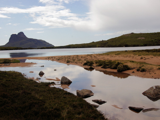
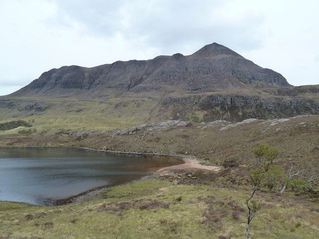
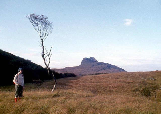
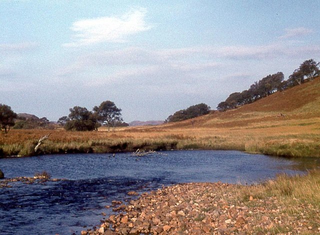
Doire Dhubh Images
Images are sourced within 2km of 58.044577/-5.1524825 or Grid Reference NC1410. Thanks to Geograph Open Source API. All images are credited.


Doire Dhubh is located at Grid Ref: NC1410 (Lat: 58.044577, Lng: -5.1524825)
Unitary Authority: Highland
Police Authority: Highlands and Islands
What 3 Words
///full.impresses.pack. Near Inchnadamph, Highland
Nearby Locations
Related Wikis

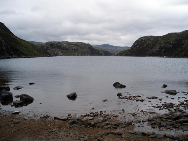
Loch an Doire Dhuibh
Loch an Doire Dhuibh is a small irregular shaped freshwater loch, situated on a north-east to south-west orientation in northern Wester Ross and located...
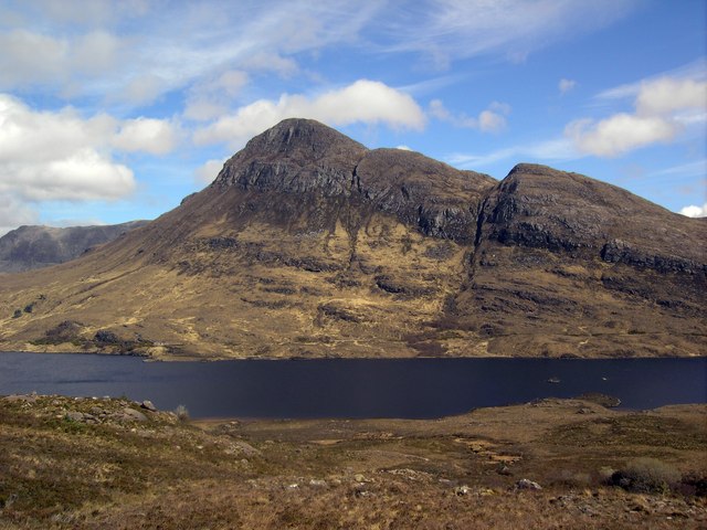
Cùl Beag
Cùl Beag is a mountain in Coigach, in the Northwest Highlands of Scotland. It is 15 km north of Ullapool and lies to the south of Cùl Mòr, and to the east...
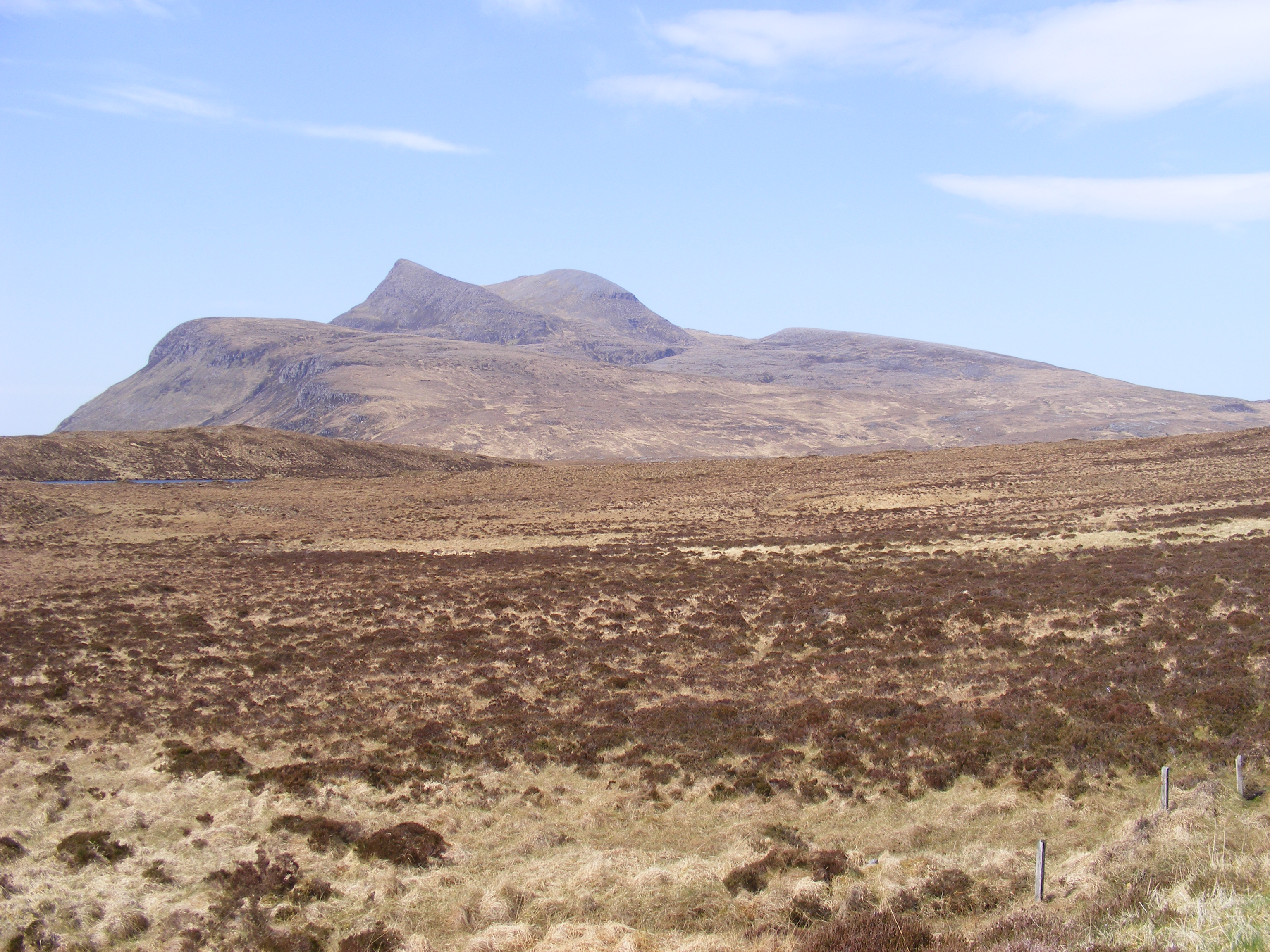
Cùl Mòr
Cùl Mòr is a shapely, twin summited mountain in the far north west of Scotland whose higher summit is the highest point of Inverpolly. It is almost completely...
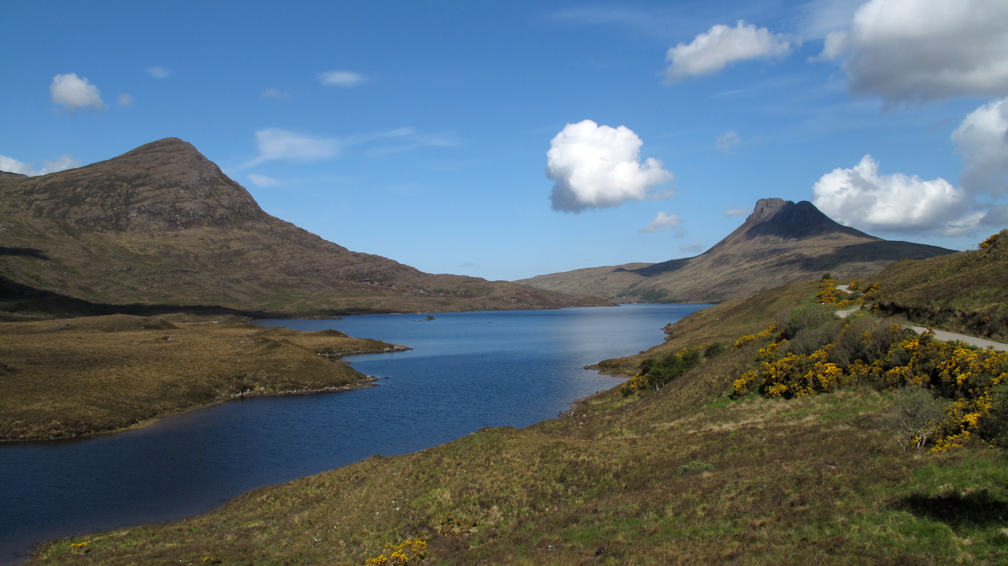
Loch Lurgainn
Loch Lurgainn is a large remote and deep freshwater loch with a crescent shape with its concave side turned to the south. It is located in the Coigach...

Inverpolly
Inverpolly is the name given to a large area of northern Wester Ross in the Northwest Highlands of Scotland, north of Ullapool. The area contains several...
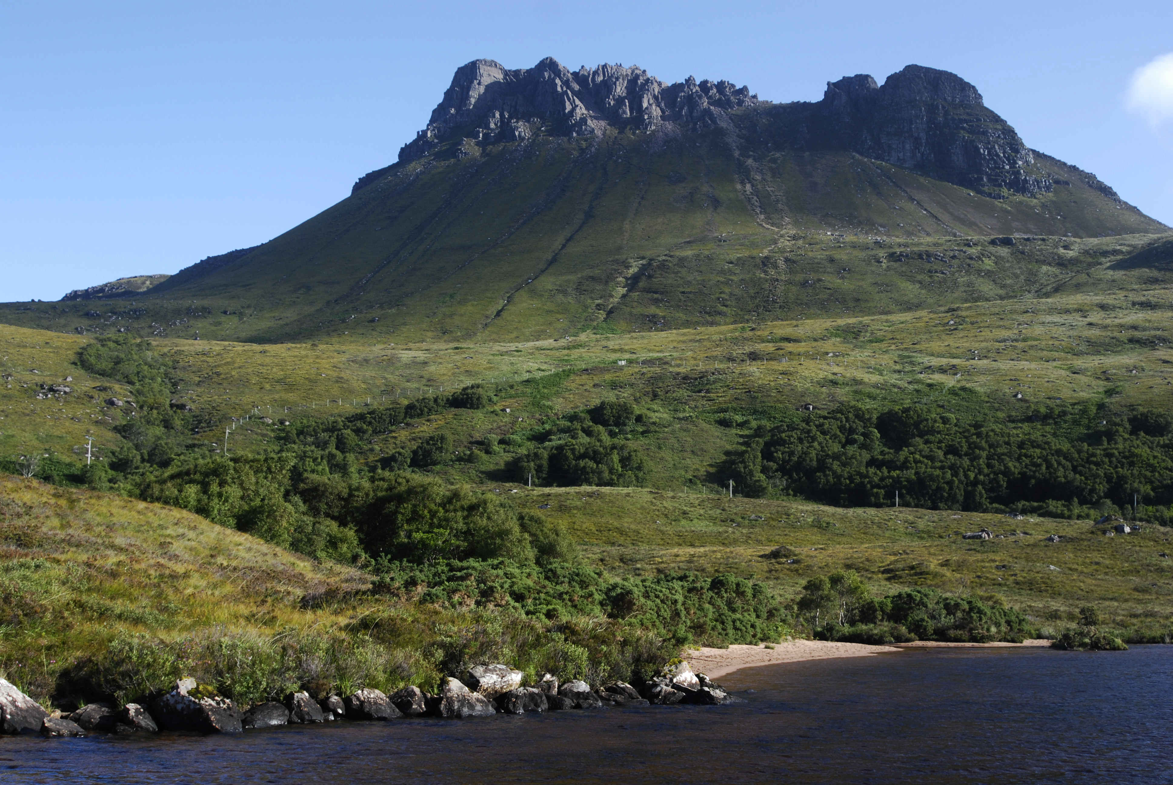
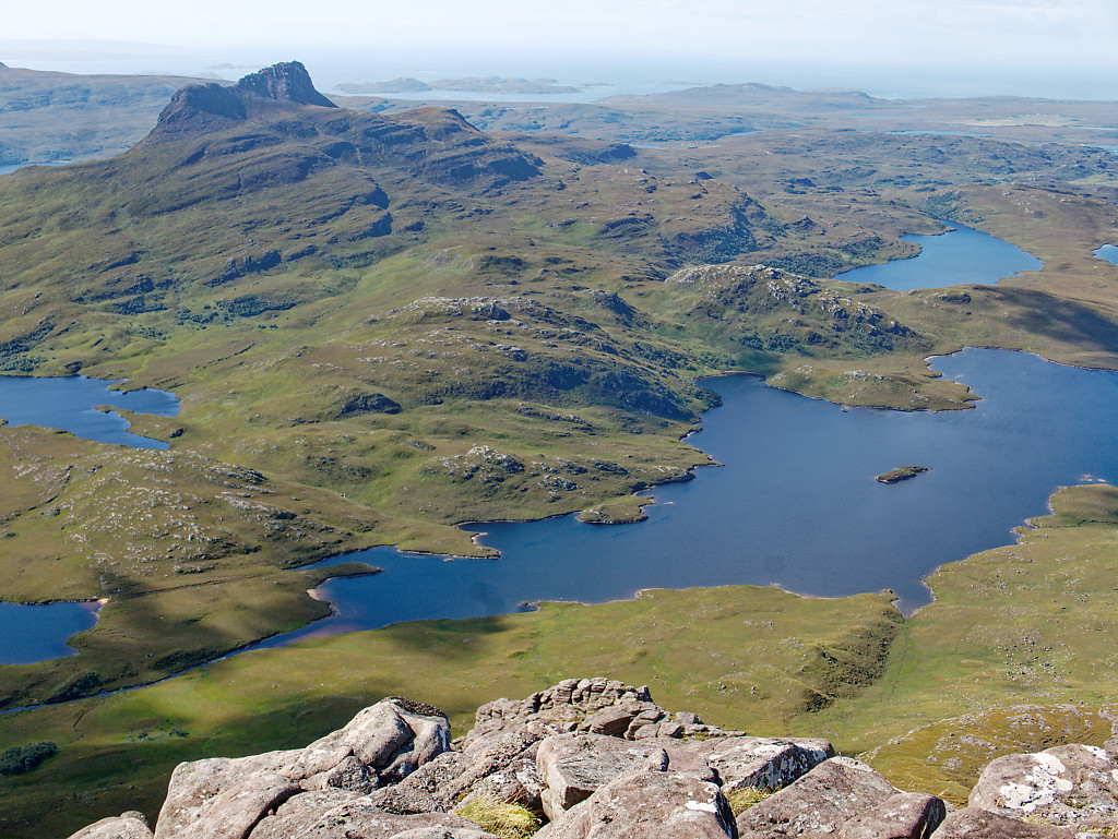
Stac Pollaidh
Stac Pollaidh (Scottish Gaelic pronunciation: [ˈs̪t̪ʰaʰkˈpʰɔɫ̪ai]) is a mountain in the Northwest Highlands of Scotland. The peak displays a rocky crest...
Loch Sionascaig
Loch Sionascaig is a large irregular shaped, freshwater loch in the remote Coigach area of northern Wester Ross. It is located 5.5 miles southeast of the...
Loch a' Mhadail
Loch a' Mhadail or Loch a' Mhiotailt is a small freshwater lochan that lies immediately to the south-west of Loch Veyatie and is connected by a channel...
Nearby Amenities
Located within 500m of 58.044577,-5.1524825Have you been to Doire Dhubh?
Leave your review of Doire Dhubh below (or comments, questions and feedback).