Deafstone Wood
Wood, Forest in Ayrshire
Scotland
Deafstone Wood
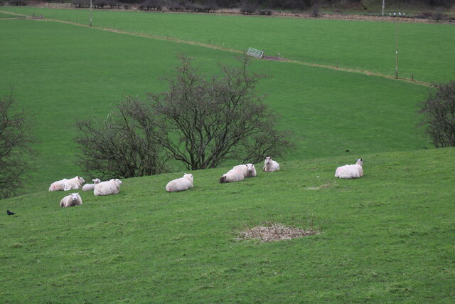
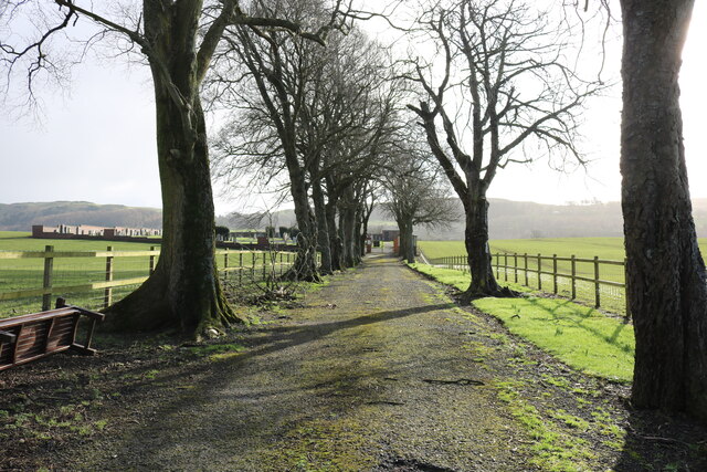
Deafstone Wood is a picturesque and serene woodland located in Ayrshire, Scotland. Covering an area of approximately 100 acres, it is a popular destination for nature enthusiasts, hikers, and those seeking tranquility amidst the beauty of nature.
The wood is characterized by its dense tree cover, primarily consisting of native species such as oak, beech, and birch. These trees create a stunning canopy that provides shade and shelter to a diverse range of flora and fauna. Walking through the wood, visitors are treated to a symphony of birdsong and the occasional sighting of woodland creatures like deer, rabbits, and squirrels.
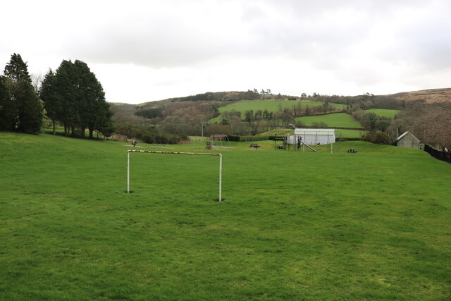
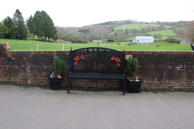
Trails wind their way through the wood, offering visitors the opportunity to explore its hidden corners and discover its natural wonders. Along the way, there are several strategically placed benches, allowing visitors to pause and take in the breathtaking views or simply enjoy a moment of tranquility.
Deafstone Wood is also home to a small river that meanders through its heart, adding to its charm and providing a source of water for the various animals and plants that call it home. The gentle sound of running water adds to the peaceful ambiance of the wood.
In addition to its natural beauty, Deafstone Wood has historical significance. It is believed to have been a site of ancient settlements, with archaeological evidence suggesting human activity in the area dating back thousands of years.
Overall, Deafstone Wood is a hidden gem in Ayrshire, offering visitors an escape from the hustle and bustle of everyday life and a chance to connect with nature in a tranquil and serene setting.
If you have any feedback on the listing, please let us know in the comments section below.
Deafstone Wood Images
Images are sourced within 2km of 55.136226/-4.9214712 or Grid Reference NX1386. Thanks to Geograph Open Source API. All images are credited.

Deafstone Wood is located at Grid Ref: NX1386 (Lat: 55.136226, Lng: -4.9214712)
Unitary Authority: South Ayrshire
Police Authority: Ayrshire
What 3 Words
///conquests.duplicity.eyebrows. Near Girvan, South Ayrshire
Nearby Locations
Related Wikis

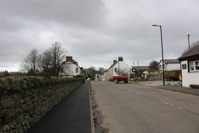
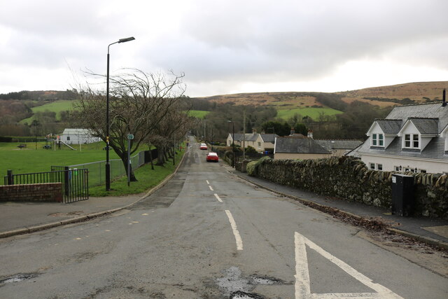
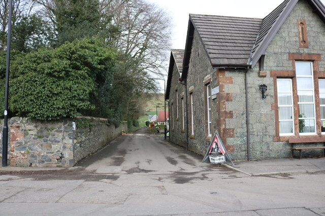
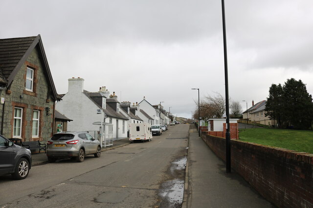
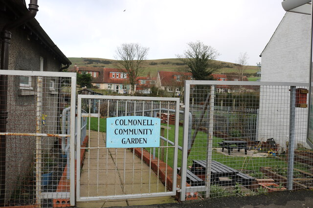
Colmonell
Colmonell (Scottish Gaelic: Cill Cholmain Eala) (meaning the church of St. Colman of Lainn Eala - in Lynally, County Offaly, Ireland) is a small village...

Dumbarton Collegiate Church
The Collegiate Church of St Mary, Dumbarton, Scotland, was founded in about 1453 by Isabella, Countess of Lennox and Duchess of Albany. During the medieval...

Heronsford
Heronsford is a village located in South Ayrshire, South-West Scotland. == About == Heronsford is a hamlet located near Ballantrae that sits along the...

Lendalfoot
Lendalfoot is a small village located on Carleton Bay, parish of Colmonell in the old district of Carrick, now South Ayrshire, about six miles (ten kilometres...

Bennane Head
Bennane Head is a tapering piece of land formed of hard rock projecting into the Firth of Clyde, Scotland, at the northern end of Ballantrae Bay, 17 kilometres...
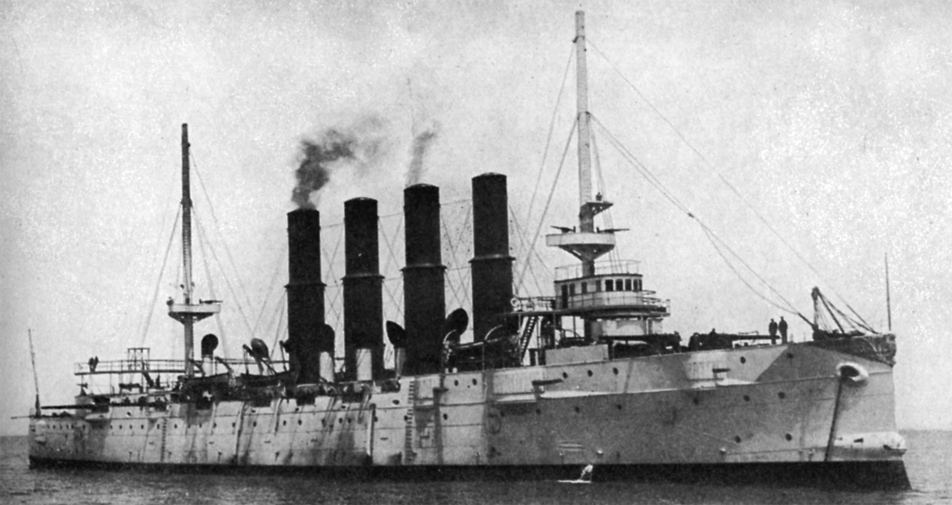
Russian cruiser Varyag (1899)
Varyag (Russian: Варя́г) sometimes also spelled Variag, was a Russian protected cruiser. Varyag became famous for her crew's stoicism at the Battle of...

Pinwherry railway station
Pinwherry railway station served the village of Pinwherry, South Ayrshire, Scotland from 1887 to 1965 on the Girvan and Portpatrick Junction Railway....

Ballantrae Windmill
The Ballantrae Windmill, on Mill Hill was a late 17th or early 18th century vaulted tower windmill, the ruins of which are located above the old raised...
Nearby Amenities
Located within 500m of 55.136226,-4.9214712Have you been to Deafstone Wood?
Leave your review of Deafstone Wood below (or comments, questions and feedback).