Balhamie Hill
Hill, Mountain in Ayrshire
Scotland
Balhamie Hill
Balhamie Hill is a prominent geographical feature located in Ayrshire, Scotland. Rising to an elevation of approximately 320 meters (1,050 feet), it is classified as a hill rather than a mountain due to its lower stature.
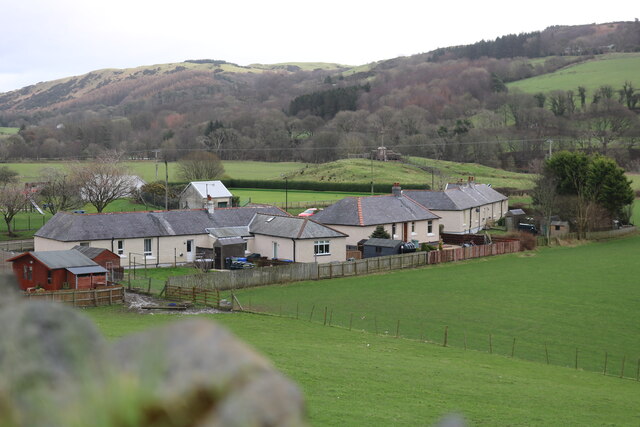
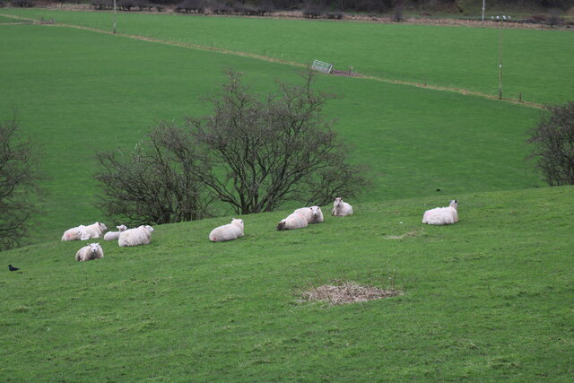
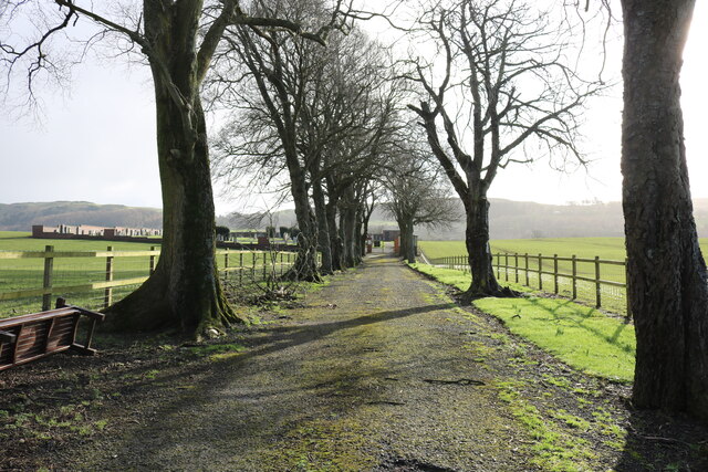
Situated near the village of Ochiltree, Balhamie Hill is part of the wider Ochil Hills range, which stretches across central Scotland. It is characterized by its gently sloping sides and a rounded summit, offering panoramic views of the surrounding countryside.
The hill is predominantly composed of sedimentary rocks, including sandstone and shale, formed over millions of years. This geological composition contributes to its stability and durability.
Balhamie Hill is covered in a mixture of grasses, heather, and other low-growing vegetation. It provides a habitat for various wildlife species, including birds such as buzzards and kestrels, as well as small mammals like rabbits and voles.
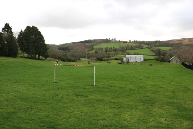
Due to its accessibility and relatively moderate gradient, Balhamie Hill attracts outdoor enthusiasts, hikers, and nature lovers. Several walking trails traverse its slopes, providing opportunities for recreational activities and exploration. Visitors can appreciate the scenic beauty of the Ayrshire landscape and experience the tranquility of the surrounding environment.
Overall, Balhamie Hill is a notable landmark in Ayrshire, offering a blend of natural beauty, recreational opportunities, and a glimpse into the region's geological history.
If you have any feedback on the listing, please let us know in the comments section below.
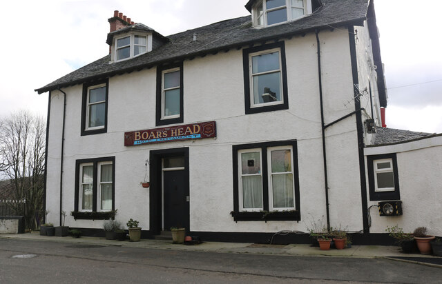
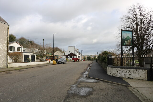
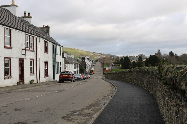
Balhamie Hill Images
Images are sourced within 2km of 55.138205/-4.9270614 or Grid Reference NX1386. Thanks to Geograph Open Source API. All images are credited.
Balhamie Hill is located at Grid Ref: NX1386 (Lat: 55.138205, Lng: -4.9270614)
Unitary Authority: South Ayrshire
Police Authority: Ayrshire
What 3 Words
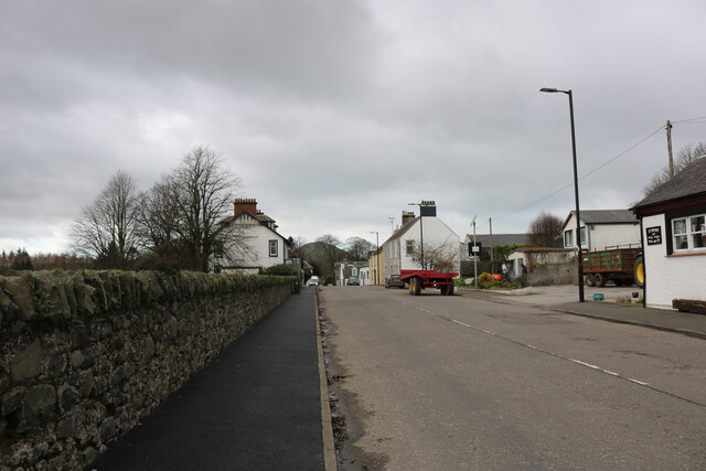
///brands.preparing.silk. Near Girvan, South Ayrshire
Nearby Locations
Related Wikis

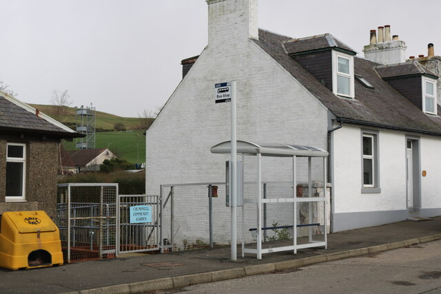
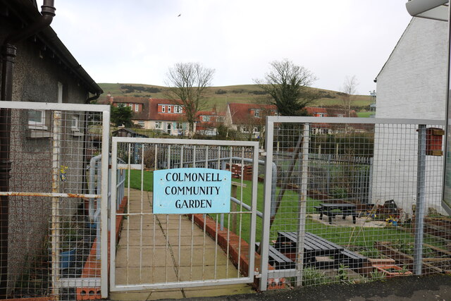
Colmonell
Colmonell (Scottish Gaelic: Cill Cholmain Eala) (meaning the church of St. Colman of Lainn Eala - in Lynally, County Offaly, Ireland) is a small village...

Dumbarton Collegiate Church
The Collegiate Church of St Mary, Dumbarton, Scotland, was founded in about 1453 by Isabella, Countess of Lennox and Duchess of Albany. During the medieval...

Heronsford
Heronsford is a village located in South Ayrshire, South-West Scotland. == About == Heronsford is a hamlet located near Ballantrae that sits along the...

Lendalfoot
Lendalfoot is a small village located on Carleton Bay, parish of Colmonell in the old district of Carrick, now South Ayrshire, about six miles (ten kilometres...
Nearby Amenities
Located within 500m of 55.138205,-4.9270614Have you been to Balhamie Hill?
Leave your review of Balhamie Hill below (or comments, questions and feedback).