Beneraird
Hill, Mountain in Ayrshire
Scotland
Beneraird
Beneraird is a prominent hill located in Ayrshire, Scotland. With an elevation of approximately 582 meters (1,909 feet), it is considered one of the region's notable landmarks. Beneraird is situated about 8 kilometers (5 miles) southwest of the town of Girvan and is part of the Galloway Forest Park.
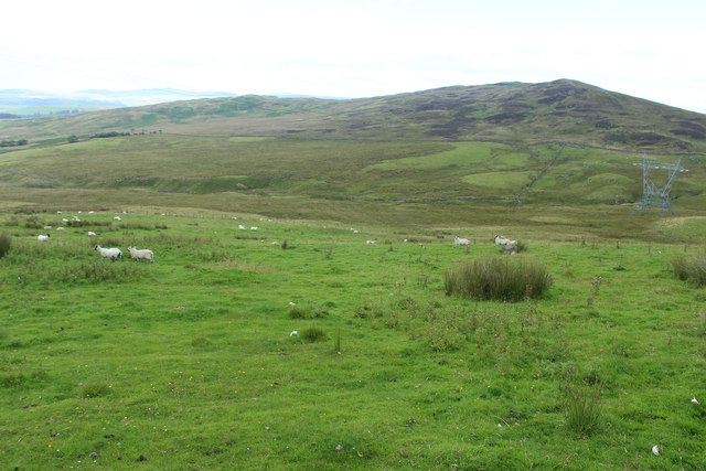
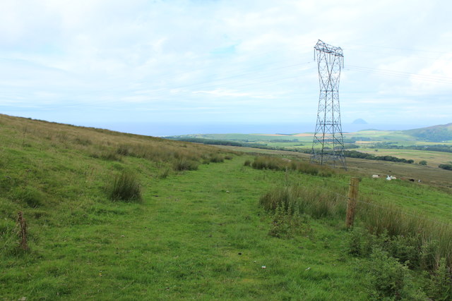
The hill offers breathtaking panoramic views of the surrounding landscape, including the Ayrshire coast, the Firth of Clyde, and the Isle of Arran. Its strategic location and exceptional vantage point make it a popular destination for hikers, nature enthusiasts, and photographers.
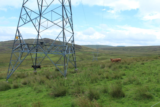
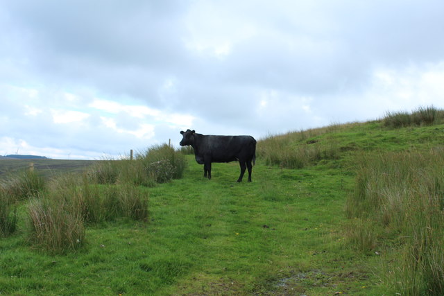
Beneraird is characterized by its rugged terrain and diverse vegetation. The hill is predominantly covered in heather and grass, with scattered patches of forestry. Its slopes are relatively steep, creating a challenging yet rewarding climb for visitors. The summit of Beneraird provides a remarkable viewpoint, allowing visitors to appreciate the scenic beauty of the area.
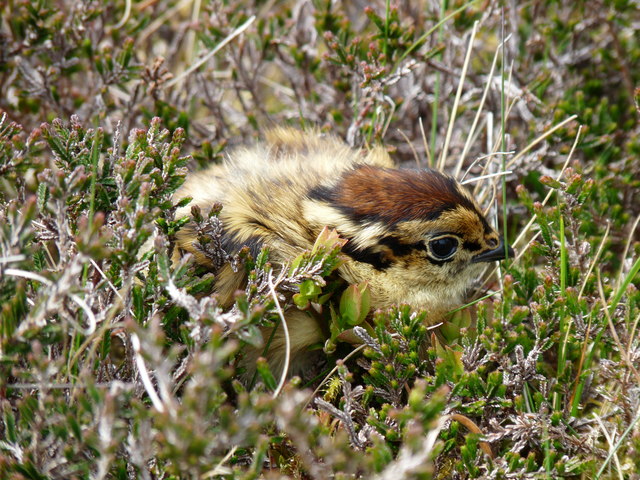
The hill is also home to a variety of wildlife, including red deer, red squirrels, and a range of bird species such as peregrine falcons and buzzards. This biodiversity adds to the appeal of Beneraird for nature lovers.
Access to Beneraird is available through several well-marked trails, ensuring visitors can explore the hill safely. Whether it is for a peaceful walk, a challenging hike, or simply to admire the stunning vistas, Beneraird offers a memorable experience for all who visit.
If you have any feedback on the listing, please let us know in the comments section below.
Beneraird Images
Images are sourced within 2km of 55.066004/-4.9215031 or Grid Reference NX1378. Thanks to Geograph Open Source API. All images are credited.


Beneraird is located at Grid Ref: NX1378 (Lat: 55.066004, Lng: -4.9215031)
Unitary Authority: Dumfries and Galloway
Police Authority: Dumfries and Galloway
What 3 Words
///spaces.pose.unfit. Near Cairnryan, Dumfries & Galloway
Nearby Locations
Related Wikis

The Lagafater Estate
Lagafater is a 7000-acre (2832.8 ha) former sporting estate near New Luce in Dumfries and Galloway, Scotland. Since 1910 it has been in the family of its...

Arecleoch Wind Farm
Arecleoch Wind Farm is a 60 turbine wind farm in South Ayrshire, Scotland with a total capacity of 120 megawatts (MW), enough to power over 67,000 homes...

Glenapp Castle
Glenapp Castle, formerly the family seat of the Earl of Inchcape, is now a luxury hotel and restaurant located about 1+1⁄2 miles (2.5 kilometres) southeast...
Heronsford
Heronsford is a village located in South Ayrshire, South-West Scotland. == About == Heronsford is a hamlet located near Ballantrae that sits along the...
Nearby Amenities
Located within 500m of 55.066004,-4.9215031Have you been to Beneraird?
Leave your review of Beneraird below (or comments, questions and feedback).