Eldrig Hill Plantation

Wood, Forest in Wigtownshire

Scotland

Eldrig Hill Plantation

A small M.O.D. building close to Balgowan Point. This is a small M.O.D. building close to Balgowan Point on The Rhins Peninsula, Scotland.
A small M.O.D. building close to Balgowan Point. Credit: andy

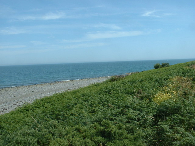
Eldrig Hill Plantation is an expansive woodland located in Wigtownshire, a historic county in southwest Scotland. Nestled amidst the picturesque landscape, this plantation encompasses a vast area of approximately 300 acres. The plantation is primarily known for its dense forest cover, which is composed of a variety of tree species, including oak, beech, ash, and pine.

The plantation provides a haven for numerous wildlife species, making it a popular destination for nature enthusiasts and birdwatchers. Visitors can spot a diverse range of bird species such as buzzards, owls, and woodpeckers, as well as small mammals like foxes, badgers, and squirrels.

Eldrig Hill Plantation offers a tranquil environment for outdoor activities such as walking, hiking, and horse riding. Several well-maintained trails crisscross the woodland, allowing visitors to explore its natural beauty and enjoy the peaceful atmosphere. The plantation also features a picnic area, providing an ideal spot for visitors to relax and enjoy a picnic amidst the beautiful surroundings.

Historically, Eldrig Hill Plantation has been an important timber resource, with sustainable forestry practices being implemented to maintain the woodland's ecological balance. The plantation's wood is harvested periodically, contributing to the local economy and providing a renewable resource for various industries.

Overall, Eldrig Hill Plantation in Wigtownshire is a captivating woodland retreat that offers both recreational opportunities and an insight into Scotland's rich natural heritage.

If you have any feedback on the listing, please let us know in the comments section below.

Eldrig Hill Plantation Images

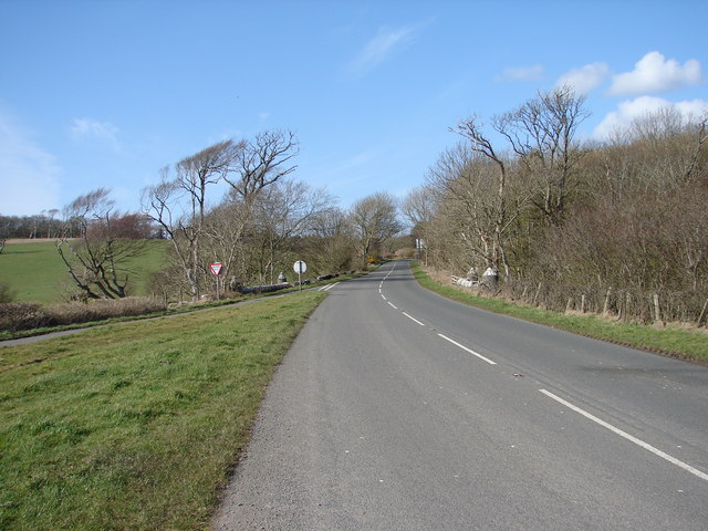
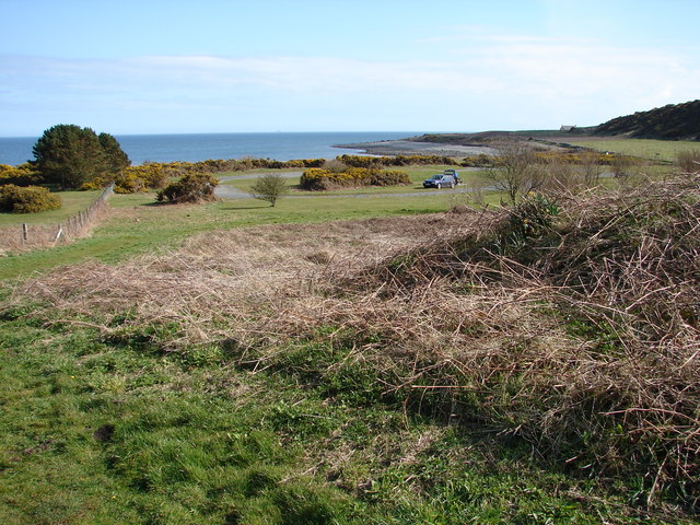
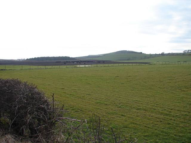
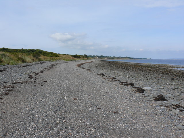
Images are sourced within 2km of 54.738897/-4.9451312 or Grid Reference NX1042. Thanks to Geograph Open Source API. All images are credited.

A small M.O.D. building close to Balgowan Point. This is a small M.O.D. building close to Balgowan Point on The Rhins Peninsula, Scotland.
A small M.O.D. building close to Balgowan Point.
This is a small M.O.D. building close to Balgowan Point on The Rhins Peninsula, Scotland.
Logan Windmill This is all that is left of the windmill that was built shortly before 1684 by Patrick McDouall to lessen his estate's dependence on the nearby watermill which in summer was liable to failure.
Logan Windmill
This is all that is left of the windmill that was built shortly before 1684 by Patrick McDouall to lessen his estate's dependence on the nearby watermill which in summer was liable to failure.
Logan Windmill 2 Another view of Logan Windmill showing the curious vaulted structure at its base
Logan Windmill 2
Another view of Logan Windmill showing the curious vaulted structure at its base
New England Bay Scotland
Myroch Point Looking across Luce Bay, to The Machars peninsula, just visible through the haze.
Myroch Point
Looking across Luce Bay, to The Machars peninsula, just visible through the haze.
New England Bay, near Ardwell Looking north. This is a similar shot to the first geograph for the square [taken 2 years ago], but seems to show many more caravans. Is this because of the slightly higher elevation, or an increase in popularity?
New England Bay, near Ardwell
Looking north. This is a similar shot to the first geograph for the square [taken 2 years ago], but seems to show many more caravans. Is this because of the slightly higher elevation, or an increase in popularity?
Paddy's Plantation Photo taken looking west, with the tight bend on the left going towards Killumpha Farm
Paddy's Plantation
Photo taken looking west, with the tight bend on the left going towards Killumpha Farm
Logan Botanic Gardens Entrance of the B7065
Logan Botanic Gardens
Entrance of the B7065
Muddy road in the Rhinns West Myroch farm in the distance.
Muddy road in the Rhinns
West Myroch farm in the distance.
Disused track The twin hedges indicate where this mapped track went, but it's clearly not used much now.
Disused track
The twin hedges indicate where this mapped track went, but it's clearly not used much now.
Balkelzie Bridge, Logan Toll Junction of the A716 and B7065 at Balkelzie Bridge.
Balkelzie Bridge, Logan Toll
Junction of the A716 and B7065 at Balkelzie Bridge.
New England Bay Picnic Area A picnic area set back from New England Bay just off the A716 on the east side of The Rhins.
New England Bay Picnic Area
A picnic area set back from New England Bay just off the A716 on the east side of The Rhins.
Auchabreck, South Rhins View from West Myroch northwest across the cattle crazing fields of Auchabreck.
Auchabreck, South Rhins
View from West Myroch northwest across the cattle crazing fields of Auchabreck.
Balgowan View along this rocky shoreline with little or no sandy beach to see. Centre of picture on the horizon is Logan Mills, the remains of Logan Windmill, Balgowan Cottage and Portacree Beach which has a slipway. This section of beach within this grid square is only about 150 yards in length and was reached on foot from New England Bay past Balgowan Point finishing (for me) at Logan Mills.
Balgowan
View along this rocky shoreline with little or no sandy beach to see. Centre of picture on the horizon is Logan Mills, the remains of Logan Windmill, Balgowan Cottage and Portacree Beach which has a slipway. This section of beach within this grid square is only about 150 yards in length and was reached on foot from New England Bay past Balgowan Point finishing (for me) at Logan Mills.
Balgowan View along this rocky shoreline in the direction of Balgowan Point. The large 'blob' of rock on the horizon is the Big Scare which I discovered can be visited by boat because it's outside the RAF bombing range. Assuming fair weather and accurate bombing I should be just fine when I try and bag this grid.
Balgowan
View along this rocky shoreline in the direction of Balgowan Point. The large 'blob' of rock on the horizon is the Big Scare which I discovered can be visited by boat because it's outside the RAF bombing range. Assuming fair weather and accurate bombing I should be just fine when I try and bag this grid.
Balgowan View along this rocky shoreline towards Portacree Beach and Balgowan Cottage.
Balgowan
View along this rocky shoreline towards Portacree Beach and Balgowan Cottage.
New England Bay View along this beach at the bay which is a combination of rocks, pebbles and sand. A Caravan Club site is next to the beach and it gets my vote, having spent three weeks here in June 2009 with 6 dogs. It is now one of my local beaches and one of the reasons I moved to Scotland.
New England Bay
View along this beach at the bay which is a combination of rocks, pebbles and sand. A Caravan Club site is next to the beach and it gets my vote, having spent three weeks here in June 2009 with 6 dogs. It is now one of my local beaches and one of the reasons I moved to Scotland.
New England Bay View along the beach with the tide out towards Balgowan Point.
New England Bay
View along the beach with the tide out towards Balgowan Point.
Show me another place!

Eldrig Hill Plantation is located at Grid Ref: NX1042 (Lat: 54.738897, Lng: -4.9451312)

Unitary Authority: Dumfries and Galloway

Police Authority: Dumfries and Galloway

What 3 Words

///giggled.trapdoor.airtime. Near Drummore, Dumfries & Galloway

Related Wikis

Logan Botanic Garden

Logan Botanic Garden is a botanical garden near Port Logan on the Rhins of Galloway, at the south-western tip of Scotland. The Botanic Garden was established...

Port Logan

Port Logan, formerly Port Nessock, is a small village in the parish of Kirkmaiden in the Rhins of Galloway in Wigtownshire. The Gaelic name is Port Neasaig...

Ardwell

Ardwell (from Gaelic Àrd Bhaile meaning "high town", pronounced as "Ardwell") is a village in the Scottish unitary council area of Dumfries and Galloway...

Doon Castle Broch

Doon Castle Broch is an iron-age broch located in Dumfries and Galloway, Scotland (grid reference NX 06702 44683). == Location == The Broch is located...

Nearby Amenities

Located within 500m of 54.738897,-4.9451312
Botanic Gardens
Naptan AtcoCode: 680000834111
Naptan Bearing: NE
Naptan BusStopType: CUS
Naptan CommonName: Botanic Gardens
Naptan Indicator: Road End
Naptan Landmark: Botanic Gardens
Naptan NaptanCode: 34234946
Naptan Notes: none
Naptan Street: B7065
Naptan Verified: no
Source: naptan_import
Lat/Long: 54.7376538/-4.9504705
Botanic Gardens
Naptan AtcoCode: 680000834222
Naptan Bearing: SW
Naptan BusStopType: CUS
Naptan CommonName: Botanic Gardens
Naptan Indicator: opp road end
Naptan Landmark: Botanic Gardens
Naptan NaptanCode: 34234947
Naptan Notes: none
Naptan Street: B7065
Naptan Verified: no
Source: naptan_import
Lat/Long: 54.7379437/-4.9500099
Eldrig Hill
Natural: peak
Lat/Long: 54.738941/-4.9430245
The data included in this document is from www.openstreetmap.org. The data is made available under ODbL.

Have you been to Eldrig Hill Plantation?

Leave your review of Eldrig Hill Plantation below (or comments, questions and feedback).