Eldrig Hill

Hill, Mountain in Wigtownshire

Scotland

Eldrig Hill

A small M.O.D. building close to Balgowan Point. This is a small M.O.D. building close to Balgowan Point on The Rhins Peninsula, Scotland.
A small M.O.D. building close to Balgowan Point. Credit: andy

Eldrig Hill is an impressive natural formation located in Wigtownshire, a historic county in the southwest of Scotland. This prominent hill, also referred to as Eldrick Hill, stands at an elevation of approximately 381 meters (1,250 feet) above sea level and is situated in close proximity to the village of Whauphill.

The hill is characterized by its distinctive conical shape, making it easily recognizable in the surrounding landscape. It is composed mainly of granite, which gives it a rugged and textured appearance. Eldrig Hill is part of a larger range known as the Southern Uplands, which stretches across the southern region of Scotland.

The area surrounding Eldrig Hill is rich in biodiversity, with a variety of flora and fauna thriving in the diverse habitats. The hill is covered in patches of heather and grasses, providing a suitable environment for a range of plant species. It is also home to several species of birds, including peregrine falcons and buzzards, which can often be spotted circling above.

Due to its prominent position, Eldrig Hill offers stunning panoramic views of the surrounding countryside. On a clear day, visitors can admire the rolling hills and valleys of Wigtownshire, as well as catch glimpses of the nearby coastline. The hill is a popular destination for hikers and nature enthusiasts, who can explore the numerous walking trails that wind their way to the summit.

Overall, Eldrig Hill is a natural wonder that showcases the beauty and diversity of the Scottish landscape. Its striking appearance, diverse wildlife, and breathtaking views make it a must-visit destination for anyone exploring the Wigtownshire region.

If you have any feedback on the listing, please let us know in the comments section below.

Eldrig Hill Images

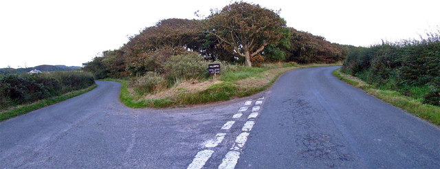
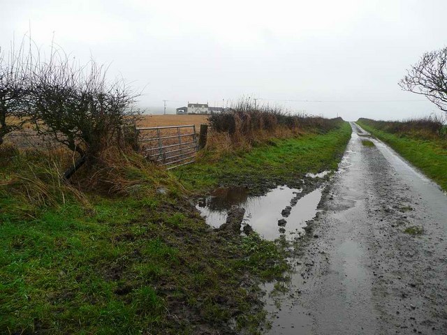
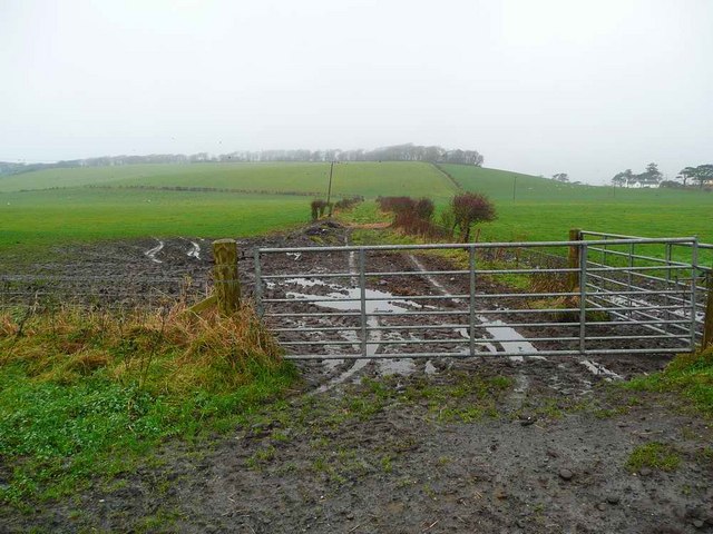
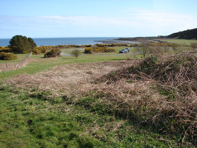
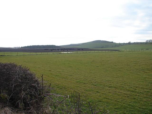
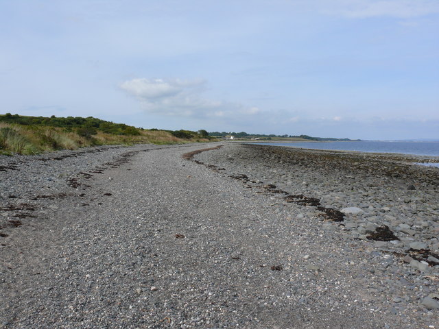
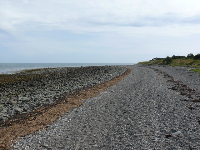
Images are sourced within 2km of 54.739379/-4.9419497 or Grid Reference NX1042. Thanks to Geograph Open Source API. All images are credited.
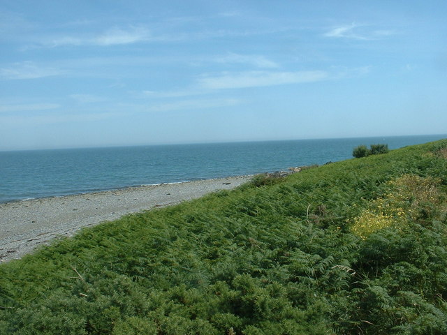
A small M.O.D. building close to Balgowan Point. This is a small M.O.D. building close to Balgowan Point on The Rhins Peninsula, Scotland.
A small M.O.D. building close to Balgowan Point.
This is a small M.O.D. building close to Balgowan Point on The Rhins Peninsula, Scotland.
Logan Windmill This is all that is left of the windmill that was built shortly before 1684 by Patrick McDouall to lessen his estate's dependence on the nearby watermill which in summer was liable to failure.
Logan Windmill
This is all that is left of the windmill that was built shortly before 1684 by Patrick McDouall to lessen his estate's dependence on the nearby watermill which in summer was liable to failure.
Logan Windmill 2 Another view of Logan Windmill showing the curious vaulted structure at its base
Logan Windmill 2
Another view of Logan Windmill showing the curious vaulted structure at its base
New England Bay Scotland
Myroch Point Looking across Luce Bay, to The Machars peninsula, just visible through the haze.
Myroch Point
Looking across Luce Bay, to The Machars peninsula, just visible through the haze.
New England Bay, near Ardwell Looking north. This is a similar shot to the first geograph for the square [taken 2 years ago], but seems to show many more caravans. Is this because of the slightly higher elevation, or an increase in popularity?
New England Bay, near Ardwell
Looking north. This is a similar shot to the first geograph for the square [taken 2 years ago], but seems to show many more caravans. Is this because of the slightly higher elevation, or an increase in popularity?
Paddy's Plantation Photo taken looking west, with the tight bend on the left going towards Killumpha Farm
Paddy's Plantation
Photo taken looking west, with the tight bend on the left going towards Killumpha Farm
Logan Botanic Gardens Entrance of the B7065
Logan Botanic Gardens
Entrance of the B7065
Muddy road in the Rhinns West Myroch farm in the distance.
Muddy road in the Rhinns
West Myroch farm in the distance.
Disused track The twin hedges indicate where this mapped track went, but it's clearly not used much now.
Disused track
The twin hedges indicate where this mapped track went, but it's clearly not used much now.
Derelict cafe & snackbar I stopped for a much-needed coffee, but alas, it was all gone!
Derelict cafe & snackbar
I stopped for a much-needed coffee, but alas, it was all gone!
Terally Bay It was soooo cold here!
Terally Bay
It was soooo cold here!
Derelict cafe & snackbar (front view) No more snacks here then :(
Derelict cafe & snackbar (front view)
No more snacks here then :(
Balkelzie Bridge, Logan Toll Junction of the A716 and B7065 at Balkelzie Bridge.
Balkelzie Bridge, Logan Toll
Junction of the A716 and B7065 at Balkelzie Bridge.
New England Bay Picnic Area A picnic area set back from New England Bay just off the A716 on the east side of The Rhins.
New England Bay Picnic Area
A picnic area set back from New England Bay just off the A716 on the east side of The Rhins.
Auchabreck, South Rhins View from West Myroch northwest across the cattle crazing fields of Auchabreck.
Auchabreck, South Rhins
View from West Myroch northwest across the cattle crazing fields of Auchabreck.
Balgowan View along this rocky shoreline with little or no sandy beach to see. Centre of picture on the horizon is Logan Mills, the remains of Logan Windmill, Balgowan Cottage and Portacree Beach which has a slipway. This section of beach within this grid square is only about 150 yards in length and was reached on foot from New England Bay past Balgowan Point finishing (for me) at Logan Mills.
Balgowan
View along this rocky shoreline with little or no sandy beach to see. Centre of picture on the horizon is Logan Mills, the remains of Logan Windmill, Balgowan Cottage and Portacree Beach which has a slipway. This section of beach within this grid square is only about 150 yards in length and was reached on foot from New England Bay past Balgowan Point finishing (for me) at Logan Mills.
Balgowan View along this rocky shoreline in the direction of Balgowan Point. The large 'blob' of rock on the horizon is the Big Scare which I discovered can be visited by boat because it's outside the RAF bombing range. Assuming fair weather and accurate bombing I should be just fine when I try and bag this grid.
Balgowan
View along this rocky shoreline in the direction of Balgowan Point. The large 'blob' of rock on the horizon is the Big Scare which I discovered can be visited by boat because it's outside the RAF bombing range. Assuming fair weather and accurate bombing I should be just fine when I try and bag this grid.
Show me another place!

Eldrig Hill is located at Grid Ref: NX1042 (Lat: 54.739379, Lng: -4.9419497)

Unitary Authority: Dumfries and Galloway

Police Authority: Dumfries and Galloway

What 3 Words

///guidebook.archduke.ringers. Near Drummore, Dumfries & Galloway

Related Wikis

Logan Botanic Garden

Logan Botanic Garden is a botanical garden near Port Logan on the Rhins of Galloway, at the south-western tip of Scotland. The Botanic Garden was established...

Port Logan

Port Logan, formerly Port Nessock, is a small village in the parish of Kirkmaiden in the Rhins of Galloway in Wigtownshire. The Gaelic name is Port Neasaig...

Ardwell

Ardwell (from Gaelic Àrd Bhaile meaning "high town", pronounced as "Ardwell") is a village in the Scottish unitary council area of Dumfries and Galloway...

Doon Castle Broch

Doon Castle Broch is an iron-age broch located in Dumfries and Galloway, Scotland (grid reference NX 06702 44683). == Location == The Broch is located...

Related Videos

Scotland Tour 2022 | Beach Walks & Drone Fun Pt 2.

Day 6 Part 2 We take a walk along the opposite way of the coastline at New England Bay vlog also includes drone footage ...

Dumfries and Galloway in a Motorhome | Portpatrick, Mull of Galloway Lighthouse & New England Bay

Dumfries and Galloway Motorhome Road Trip On our final leg of our 8 day tour of Scotland, we leave our campsite at Culzean ...

PORT LOGAN - DUMFRIES & GALLOWAY, SCOTLAND - Sept 2020

Welcome to my Channel - In this video Karen & I drive from the Mull of Galloway to Port Logan a little harbour village on the coast ...

Nearby Amenities

Located within 500m of 54.739379,-4.9419497
Power: pole
Lat/Long: 54.7416772/-4.9357849
Power: pole
Lat/Long: 54.7406336/-4.9357876
Power: pole
Lat/Long: 54.7396256/-4.9357688
Power: pole
Lat/Long: 54.7387198/-4.9357072
Power: pole
Lat/Long: 54.7377086/-4.9357125
Power: pole
Lat/Long: 54.7368771/-4.9356991
Eldrig Hill
Natural: peak
Lat/Long: 54.738941/-4.9430245
The data included in this document is from www.openstreetmap.org. The data is made available under ODbL.

Have you been to Eldrig Hill?

Leave your review of Eldrig Hill below (or comments, questions and feedback).