Mugloch Hill
Hill, Mountain in Wigtownshire
Scotland
Mugloch Hill
Mugloch Hill is a prominent landmark located in Wigtownshire, a region in southwestern Scotland. This hill, often referred to as a mountain, is situated near the village of Sorbie, approximately 7 miles northeast of Wigtown. Rising to a height of approximately 482 meters (1,584 feet), Mugloch Hill offers breathtaking panoramic views of the surrounding countryside.
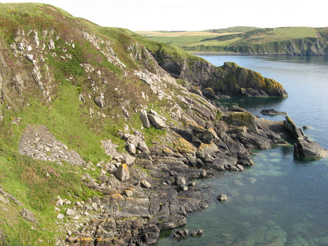
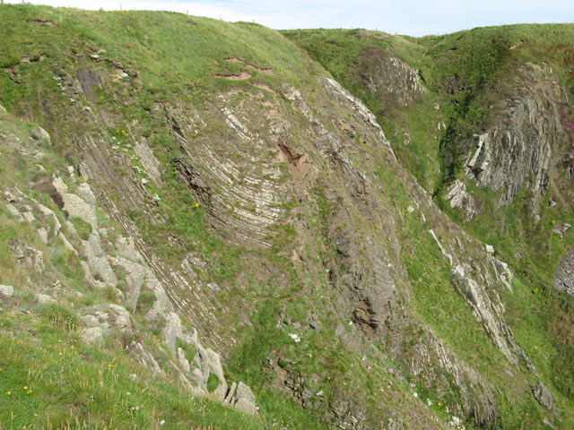
The hill is formed mainly of granite and is characterized by its distinctive shape, with a relatively flat summit and steep slopes on all sides. Its unique topography makes it a popular destination for hikers and nature enthusiasts, offering a challenging yet rewarding climb. The well-maintained footpaths and trails that lead to the summit provide an excellent opportunity to explore the diverse flora and fauna that call Mugloch Hill their home.
From the top of Mugloch Hill, visitors can enjoy stunning vistas of the rolling hills, farmland, and coastline that make up the picturesque landscape of Wigtownshire. On clear days, the views extend as far as the Isle of Man and the distant mountains of Northern Ireland.
In addition to its natural beauty, Mugloch Hill also holds historical significance. The hill is believed to have served as a hillfort during ancient times, offering strategic advantages for defensive purposes. Archaeological excavations have uncovered remnants of ancient settlements, including stone tools and pottery shards, further adding to the historical appeal of Mugloch Hill.
Overall, Mugloch Hill is a magnificent natural feature that combines scenic beauty, recreational opportunities, and historical interest, making it a must-visit destination for anyone exploring the enchanting region of Wigtownshire.
If you have any feedback on the listing, please let us know in the comments section below.
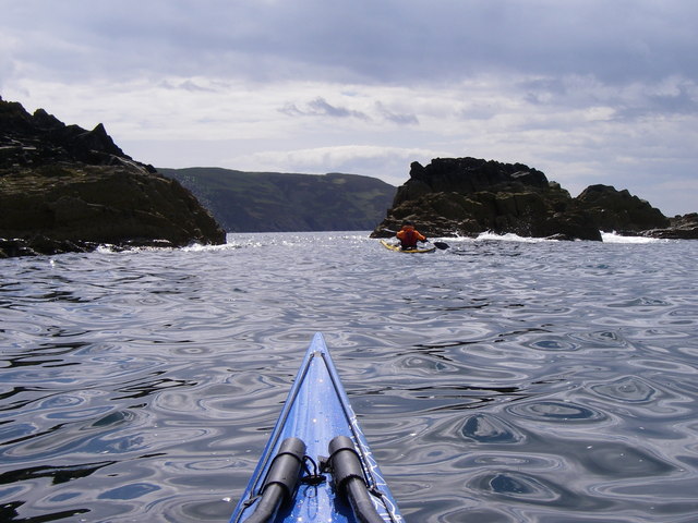
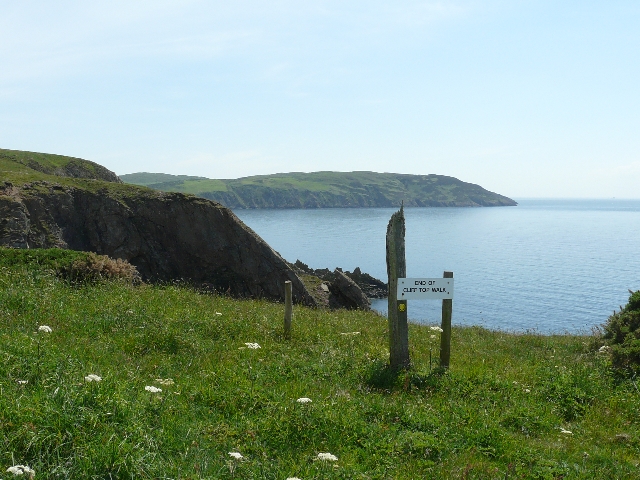
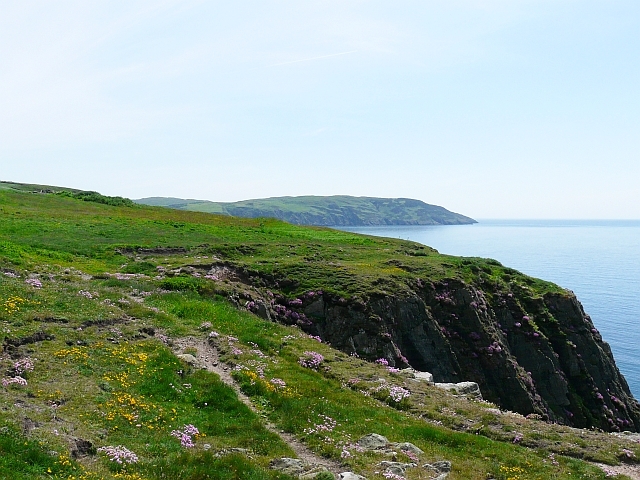
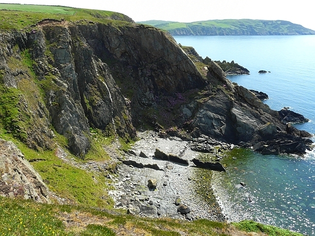
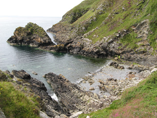
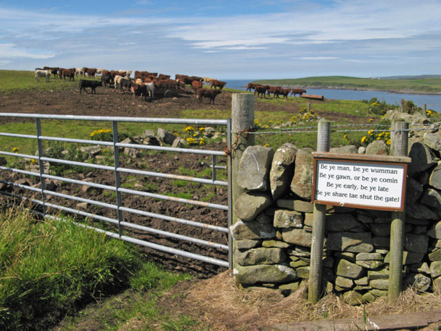
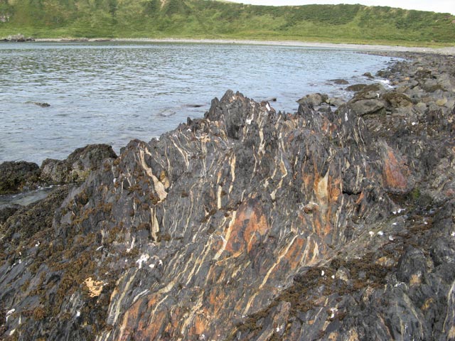
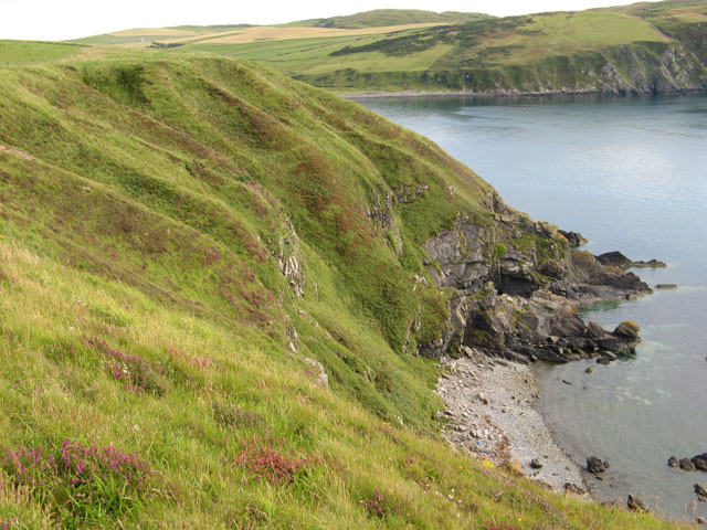
Mugloch Hill Images
Images are sourced within 2km of 54.7067/-4.9400475 or Grid Reference NX1038. Thanks to Geograph Open Source API. All images are credited.


Mugloch Hill is located at Grid Ref: NX1038 (Lat: 54.7067, Lng: -4.9400475)
Unitary Authority: Dumfries and Galloway
Police Authority: Dumfries and Galloway
What 3 Words
///blinks.dove.scornful. Near Drummore, Dumfries & Galloway
Nearby Locations
Related Wikis

Port Logan
Port Logan, formerly Port Nessock, is a small village in the parish of Kirkmaiden in the Rhins of Galloway in Wigtownshire. The Gaelic name is Port Neasaig...

Kirkmaiden
Kirkmaiden is a parish in the Rhins of Galloway, the most southerly in Scotland; the present Church of Scotland parish has the same name as and is approximately...
Kirkmaiden (village)
Kirkmaiden (sometimes Maidenkirk; Scottish Gaelic: Cill M'Eudan) is a small settlement in Galloway, Scotland, located approximately 17 miles (27 km) south...
Drummore
Drummore (drum-ORE; (from Gaelic An Druim Mòr meaning "the great ridge") is the southernmost village in Scotland, located at the southern end of the Rhins...

Logan Botanic Garden
Logan Botanic Garden is a botanical garden near Port Logan on the Rhins of Galloway, at the south-western tip of Scotland. The Botanic Garden was established...
Cairngaan
Cairngaan, Wigtownshire, is the southmost settlement in Scotland. The hamlet of Cairngaan lies just north of the Mull of Galloway (which contains Scotland...
Ardwell
Ardwell (from Gaelic Àrd Bhaile meaning "high town", pronounced as "Ardwell") is a village in the Scottish unitary council area of Dumfries and Galloway...

Doon Castle Broch
Doon Castle Broch is an iron-age broch located in Dumfries and Galloway, Scotland (grid reference NX 06702 44683). == Location == The Broch is located...
Related Videos
Port Logan beach Scotland
Various views of the beautiful coastline at Port Logan in south-west Scotland on a sunny spring afternoon.

PORT LOGAN - DUMFRIES & GALLOWAY, SCOTLAND - Sept 2020
Welcome to my Channel - In this video Karen & I drive from the Mull of Galloway to Port Logan a little harbour village on the coast ...

Back to Port Logan for the channels 4th Birthday
We decided to go back to Port Logan and kind of Recreate the very first video we did Music from Uppbeat (free for Creators!)

Port Logan Lighthouse
Port Logan Lighthouse Mavic Mini August 2021.
Nearby Amenities
Located within 500m of 54.7067,-4.9400475Have you been to Mugloch Hill?
Leave your review of Mugloch Hill below (or comments, questions and feedback).