Quarry Parks

Downs, Moorland in Wigtownshire

Scotland

Quarry Parks

A small M.O.D. building close to Balgowan Point. This is a small M.O.D. building close to Balgowan Point on The Rhins Peninsula, Scotland.
A small M.O.D. building close to Balgowan Point. Credit: andy

Quarry Parks is a stunning natural area located in Wigtownshire, known for its picturesque downs and moorland landscapes. Spread across a vast expanse of land, this enchanting park offers visitors a unique and tranquil experience.

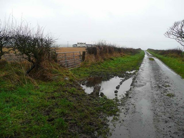
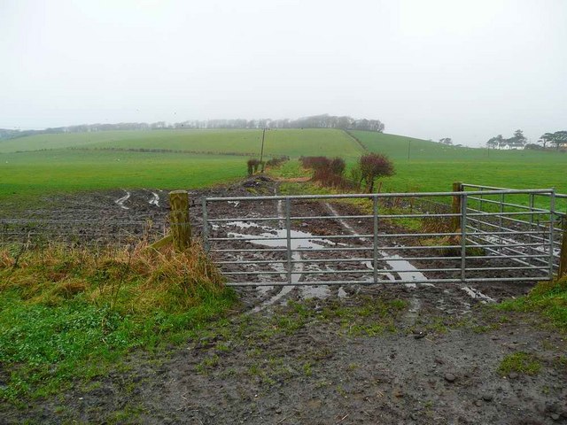
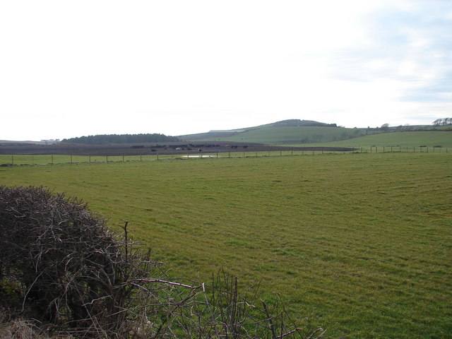
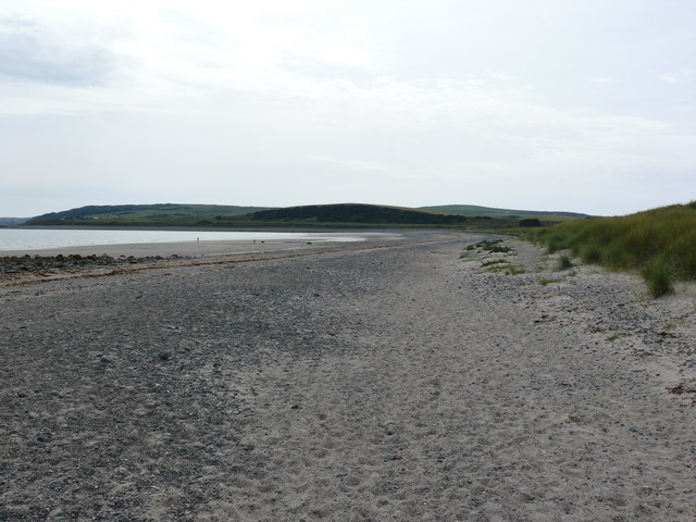
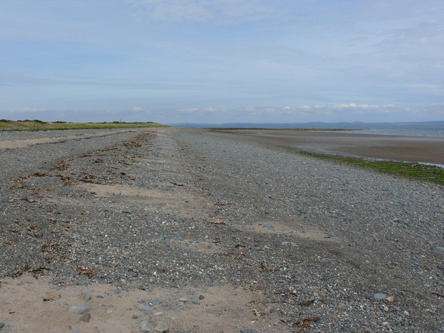
The downs of Quarry Parks are characterized by their rolling hills and expansive grasslands. The undulating terrain provides breathtaking views of the surrounding countryside, making it a popular spot for hikers and nature enthusiasts. Visitors can enjoy leisurely walks along well-maintained trails, immersing themselves in the beauty of the downs while taking in the fresh, crisp air.

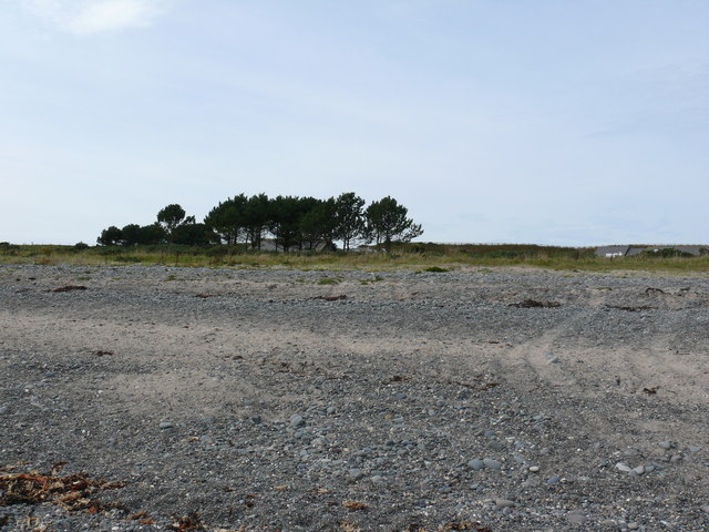
The park is also home to vast moorlands, which add to its charm and diversity. Moorland vegetation, including heather and bracken, dominates the landscape, creating a rich tapestry of colors. This unique habitat is a haven for various bird species, including curlews and skylarks, making it a paradise for birdwatching enthusiasts.

Quarry Parks is not only a haven for nature lovers but also offers opportunities for outdoor activities. The extensive trails throughout the park are perfect for cycling and horse riding, allowing visitors to explore the vast expanse of downs and moorlands at their own pace.

Additionally, Quarry Parks boasts a rich history, with evidence of ancient settlements and quarrying activities dating back centuries. Visitors can explore the remnants of old quarries, providing a glimpse into the area's industrial past.

Overall, Quarry Parks in Wigtownshire is a captivating natural haven, offering visitors a chance to connect with nature, indulge in outdoor activities, and immerse themselves in the region's rich history.

If you have any feedback on the listing, please let us know in the comments section below.

Quarry Parks Images

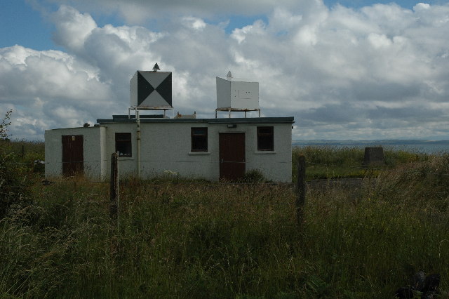
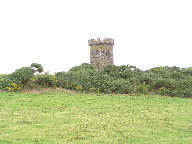
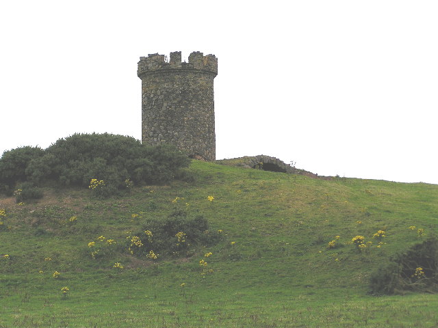
Images are sourced within 2km of 54.741002/-4.9447246 or Grid Reference NX1042. Thanks to Geograph Open Source API. All images are credited.
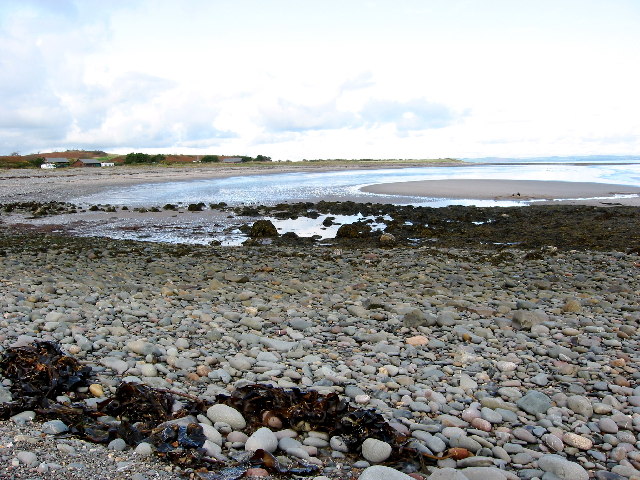
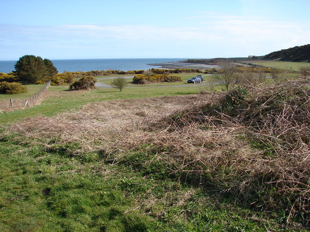
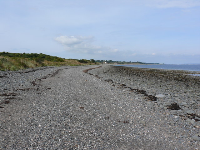
A small M.O.D. building close to Balgowan Point. This is a small M.O.D. building close to Balgowan Point on The Rhins Peninsula, Scotland.
A small M.O.D. building close to Balgowan Point.
This is a small M.O.D. building close to Balgowan Point on The Rhins Peninsula, Scotland.
Logan Windmill This is all that is left of the windmill that was built shortly before 1684 by Patrick McDouall to lessen his estate's dependence on the nearby watermill which in summer was liable to failure.
Logan Windmill
This is all that is left of the windmill that was built shortly before 1684 by Patrick McDouall to lessen his estate's dependence on the nearby watermill which in summer was liable to failure.
Logan Windmill 2 Another view of Logan Windmill showing the curious vaulted structure at its base
Logan Windmill 2
Another view of Logan Windmill showing the curious vaulted structure at its base
New England Bay Scotland
New England Bay, near Ardwell Looking north. This is a similar shot to the first geograph for the square [taken 2 years ago], but seems to show many more caravans. Is this because of the slightly higher elevation, or an increase in popularity?
New England Bay, near Ardwell
Looking north. This is a similar shot to the first geograph for the square [taken 2 years ago], but seems to show many more caravans. Is this because of the slightly higher elevation, or an increase in popularity?
Logan Botanic Gardens Entrance of the B7065
Logan Botanic Gardens
Entrance of the B7065
Muddy road in the Rhinns West Myroch farm in the distance.
Muddy road in the Rhinns
West Myroch farm in the distance.
Disused track The twin hedges indicate where this mapped track went, but it's clearly not used much now.
Disused track
The twin hedges indicate where this mapped track went, but it's clearly not used much now.
Balkelzie Bridge, Logan Toll Junction of the A716 and B7065 at Balkelzie Bridge.
Balkelzie Bridge, Logan Toll
Junction of the A716 and B7065 at Balkelzie Bridge.
New England Bay Picnic Area A picnic area set back from New England Bay just off the A716 on the east side of The Rhins.
New England Bay Picnic Area
A picnic area set back from New England Bay just off the A716 on the east side of The Rhins.
Auchabreck, South Rhins View from West Myroch northwest across the cattle crazing fields of Auchabreck.
Auchabreck, South Rhins
View from West Myroch northwest across the cattle crazing fields of Auchabreck.
Balgowan View along this rocky shoreline with little or no sandy beach to see. Centre of picture on the horizon is Logan Mills, the remains of Logan Windmill, Balgowan Cottage and Portacree Beach which has a slipway. This section of beach within this grid square is only about 150 yards in length and was reached on foot from New England Bay past Balgowan Point finishing (for me) at Logan Mills.
Balgowan
View along this rocky shoreline with little or no sandy beach to see. Centre of picture on the horizon is Logan Mills, the remains of Logan Windmill, Balgowan Cottage and Portacree Beach which has a slipway. This section of beach within this grid square is only about 150 yards in length and was reached on foot from New England Bay past Balgowan Point finishing (for me) at Logan Mills.
Balgowan View along this rocky shoreline in the direction of Balgowan Point. The large 'blob' of rock on the horizon is the Big Scare which I discovered can be visited by boat because it's outside the RAF bombing range. Assuming fair weather and accurate bombing I should be just fine when I try and bag this grid.
Balgowan
View along this rocky shoreline in the direction of Balgowan Point. The large 'blob' of rock on the horizon is the Big Scare which I discovered can be visited by boat because it's outside the RAF bombing range. Assuming fair weather and accurate bombing I should be just fine when I try and bag this grid.
Balgowan View along this rocky shoreline towards Portacree Beach and Balgowan Cottage.
Balgowan
View along this rocky shoreline towards Portacree Beach and Balgowan Cottage.
New England Bay View along this beach at the bay which is a combination of rocks, pebbles and sand. A Caravan Club site is next to the beach and it gets my vote, having spent three weeks here in June 2009 with 6 dogs. It is now one of my local beaches and one of the reasons I moved to Scotland.
New England Bay
View along this beach at the bay which is a combination of rocks, pebbles and sand. A Caravan Club site is next to the beach and it gets my vote, having spent three weeks here in June 2009 with 6 dogs. It is now one of my local beaches and one of the reasons I moved to Scotland.
New England Bay View along the beach with the tide out towards Balgowan Point.
New England Bay
View along the beach with the tide out towards Balgowan Point.
New England Bay This group of trees seen from the beach, hide the Caravan Club reception building and shop which sells a mean tub of Galloway ice cream in several mouth watering flavours.
New England Bay
This group of trees seen from the beach, hide the Caravan Club reception building and shop which sells a mean tub of Galloway ice cream in several mouth watering flavours.
(Not)  A small M.O.D. building close to Balgowan Point. It was here in July 2005 <a href="https://www.geograph.org.uk/photo/25550">NX1242 : A small M.O.D. building close to Balgowan Point.</a>, it was also here in June 2009 when I visited the area on holiday (alas no picture) and now it's gone, it's an ex MOD building near Balgowan Point - and the faded sign says M.O.D Property Keep Out - and the flagpole and flag are still there waiting for someone to come along and raise it. I wonder how long OS will take to delete the building from their mapping.
(Not) A small M.O.D. building close to Balgowan Point.
It was here in July 2005 NX1242 : A small M.O.D. building close to Balgowan Point., it was also here in June 2009 when I visited the area on holiday (alas no picture) and now it's gone, it's an ex MOD building near Balgowan Point - and the faded sign says M.O.D Property Keep Out - and the flagpole and flag are still there waiting for someone to come along and raise it. I wonder how long OS will take to delete the building from their mapping.
Show me another place!

Quarry Parks is located at Grid Ref: NX1042 (Lat: 54.741002, Lng: -4.9447246)

Unitary Authority: Dumfries and Galloway

Police Authority: Dumfries and Galloway

What 3 Words

///stove.poets.debater. Near Drummore, Dumfries & Galloway

Related Wikis

Logan Botanic Garden

Logan Botanic Garden is a botanical garden near Port Logan on the Rhins of Galloway, at the south-western tip of Scotland. The Botanic Garden was established...

Port Logan

Port Logan, formerly Port Nessock, is a small village in the parish of Kirkmaiden in the Rhins of Galloway in Wigtownshire. The Gaelic name is Port Neasaig...

Ardwell

Ardwell (from Gaelic Àrd Bhaile meaning "high town", pronounced as "Ardwell") is a village in the Scottish unitary council area of Dumfries and Galloway...

Doon Castle Broch

Doon Castle Broch is an iron-age broch located in Dumfries and Galloway, Scotland (grid reference NX 06702 44683). == Location == The Broch is located...

Nearby Amenities

Located within 500m of 54.741002,-4.9447246
Botanic Gardens
Naptan AtcoCode: 680000834222
Naptan Bearing: SW
Naptan BusStopType: CUS
Naptan CommonName: Botanic Gardens
Naptan Indicator: opp road end
Naptan Landmark: Botanic Gardens
Naptan NaptanCode: 34234947
Naptan Notes: none
Naptan Street: B7065
Naptan Verified: no
Source: naptan_import
Lat/Long: 54.7379437/-4.9500099
Eldrig Hill
Natural: peak
Lat/Long: 54.738941/-4.9430245
The data included in this document is from www.openstreetmap.org. The data is made available under ODbL.

Have you been to Quarry Parks?

Leave your review of Quarry Parks below (or comments, questions and feedback).