Ace of Clubs Plantation

Wood, Forest in Wigtownshire

Scotland

Ace of Clubs Plantation

The Stena Voyager HSS on Loch Ryan The Stena Voyager High Speed Service (HSS) Ferry on Lochryan having left Stranraer to travel to Belfast.
The Stena Voyager HSS on Loch Ryan Credit: Colin McDonald

Ace of Clubs Plantation is a picturesque woodland located in Wigtownshire, Scotland. Covering an expansive area, it is renowned for its rich biodiversity, stunning landscapes, and historical significance. The plantation is nestled within the Galloway Forest Park, which is the largest forested area in the United Kingdom.

The woodland is predominantly composed of native broadleaf trees such as oak, birch, and beech, creating a diverse and vibrant ecosystem. Its name, Ace of Clubs, is derived from the shape of the plantation when viewed from above, resembling the pattern on a playing card. This unique characteristic adds to its charm and allure.

Ace of Clubs Plantation is a haven for wildlife enthusiasts and nature lovers alike. The woodland provides a habitat for an array of species including red squirrels, roe deer, badgers, and a myriad of bird species. It also boasts a variety of plant life, with carpets of bluebells and wild garlic adorning the forest floor during the spring months.

In addition to its natural beauty, Ace of Clubs Plantation holds historical significance. The woodland was once part of the ancestral estate of the local landowners, and remnants of old structures and pathways can still be seen today. These remnants serve as a reminder of the area's rich heritage and provide a glimpse into the past for visitors.

Accessible via well-maintained trails, Ace of Clubs Plantation offers a tranquil retreat for those seeking to escape the hustle and bustle of everyday life. Its breathtaking scenery, diverse wildlife, and historical intrigue make it a must-visit destination for both locals and tourists exploring the enchanting Wigtownshire region.

If you have any feedback on the listing, please let us know in the comments section below.

Ace of Clubs Plantation Images

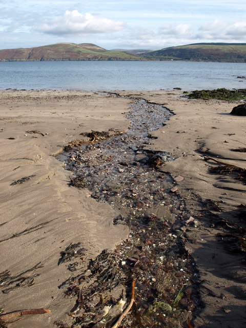
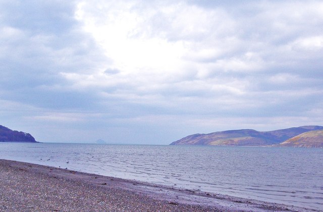
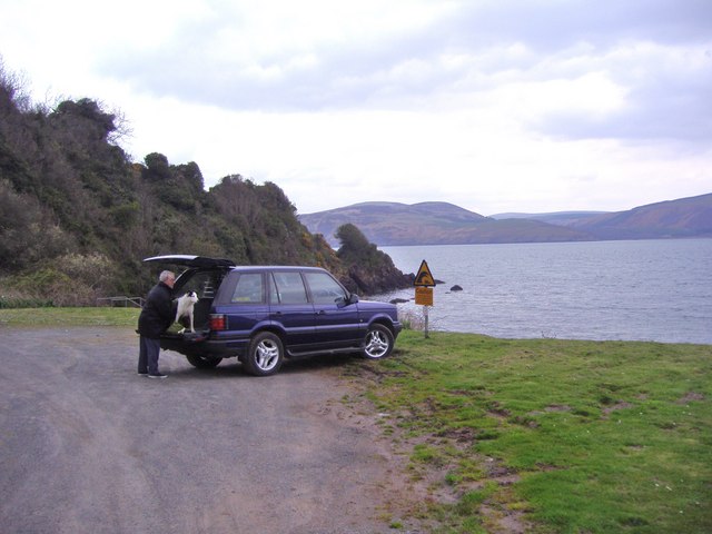
Images are sourced within 2km of 54.984561/-5.0756831 or Grid Reference NX0369. Thanks to Geograph Open Source API. All images are credited.
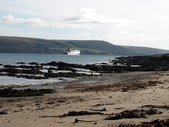
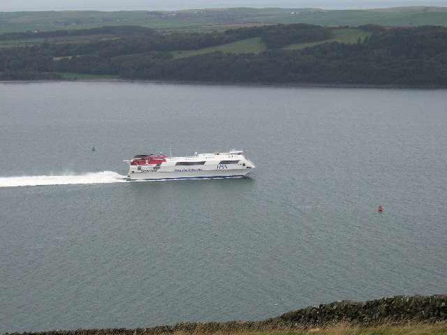
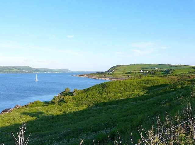
The Stena Voyager HSS on Loch Ryan The Stena Voyager High Speed Service (HSS) Ferry on Lochryan having left Stranraer to travel to Belfast.
The Stena Voyager HSS on Loch Ryan
The Stena Voyager High Speed Service (HSS) Ferry on Lochryan having left Stranraer to travel to Belfast.
Jamieson's Point,  Lady Bay,  Loch Ryan
Jamieson's Point, Lady Bay, Loch Ryan
Corsewall Mill Waterfall This waterfall used to power the waterwheel at Corsewall Mill before it was demolished. It is just outside Kirkcolm.
Corsewall Mill Waterfall
This waterfall used to power the waterwheel at Corsewall Mill before it was demolished. It is just outside Kirkcolm.
Sea Caves at the foot of Sea Cliff, Loch Ryan
Stena Voyager Passing Lady Bay The High Speed Ship "Stena Voyager" leaving Loch Ryan on its way from Stranraer to Belfast.
Stena Voyager Passing Lady Bay
The High Speed Ship "Stena Voyager" leaving Loch Ryan on its way from Stranraer to Belfast.
Lady Bay, The Rhins Ferry entering Loch Ryan, passing Lady Bay (this side) and Glen App (far side).
Lady Bay, The Rhins
Ferry entering Loch Ryan, passing Lady Bay (this side) and Glen App (far side).
Straw Bales, The Rhins Near Lady Bay.
Straw Bales, The Rhins
Near Lady Bay.
Crab Apples, The Rhins There seemed to be a glut of apples on the many apple trees in this small area.
Crab Apples, The Rhins
There seemed to be a glut of apples on the many apple trees in this small area.
Lady Bay, The Rhins Irish ferry heading inland on Loch Ryan.
Lady Bay, The Rhins
Irish ferry heading inland on Loch Ryan.
Lady Bay, The Rhins Unnamed stream enters Loch Ryan. Glen App opposite.
Lady Bay, The Rhins
Unnamed stream enters Loch Ryan. Glen App opposite.
Lady Bay on the shores of Loch Ryan Lady Bay is approached by a steep unmade track. Across the sea loch [Loch Ryan] Glen App and the surrounding hills can be seen.
Lady Bay on the shores of Loch Ryan
Lady Bay is approached by a steep unmade track. Across the sea loch [Loch Ryan] Glen App and the surrounding hills can be seen.
Loch Ryan This view looks north up Loch Ryan. The low tide has exposed the sand and shingle shore.  The entrance to Glen App is on the far right and Ailsa Craig is on the horizon.
Loch Ryan
This view looks north up Loch Ryan. The low tide has exposed the sand and shingle shore. The entrance to Glen App is on the far right and Ailsa Craig is on the horizon.
Car park at Lady Bay This is a small parking area at Lady Bay.  The yellow sign warns people of the danger from high waves caused by passing ferries.
Car park at Lady Bay
This is a small parking area at Lady Bay. The yellow sign warns people of the danger from high waves caused by passing ferries.
Road junction, near Kirkcolm The road to the right is the A718 to Kirkcolm and the one to the left is a minor one to Corsewall.  The view is taken from the B738.
Road junction, near Kirkcolm
The road to the right is the A718 to Kirkcolm and the one to the left is a minor one to Corsewall. The view is taken from the B738.
Junction of three roads Turn left for Portpatrick and right for Corsewall.
Junction of three roads
Turn left for Portpatrick and right for Corsewall.
Lady Bay This lovely little bay is reached by a rough track coming down the cliffs.  It's well worth the effort to get there.
Lady Bay
This lovely little bay is reached by a rough track coming down the cliffs. It's well worth the effort to get there.
P&O Approaching Lady Bay This ferry is heading for the North Channel on its way to Ireland.  Viewed from the Lady Bay car park on a bright February afternoon.
P&O Approaching Lady Bay
This ferry is heading for the North Channel on its way to Ireland. Viewed from the Lady Bay car park on a bright February afternoon.
Looking down to Lady Bay from the coastal path A steep strip of land between the path and the cliffs appears to have been left to nature.
Looking down to Lady Bay from the coastal path
A steep strip of land between the path and the cliffs appears to have been left to nature.
Show me another place!

Ace of Clubs Plantation is located at Grid Ref: NX0369 (Lat: 54.984561, Lng: -5.0756831)

Unitary Authority: Dumfries and Galloway

Police Authority: Dumfries and Galloway

What 3 Words

///nudge.panting.loans. Near Cairnryan, Dumfries & Galloway

Related Wikis

Kirkcolm

Kirkcolm is a village and civil parish on the northern tip of the Rhinns of Galloway peninsula, south-west Scotland. It is in Dumfries and Galloway, and...

RAF Wig Bay

Royal Air Force Wig Bay, or more simply RAF Wig Bay, is a former Royal Air Force station near Stranraer, Dumfries and Galloway, Scotland. The following...
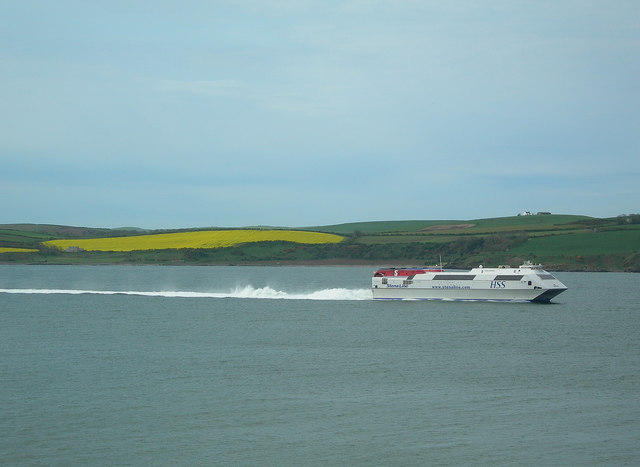
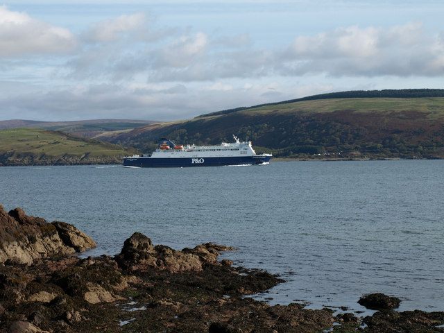
Loch Ryan

Loch Ryan (Scottish Gaelic: Loch Rìoghaine, pronounced [l̪ˠɔx ˈrˠiː.ɛɲə]) is a Scottish sea loch that acts as an important natural harbour for shipping...

Cairnryan Harbour

Cairnryan Harbour is a roll-on ferry terminal on Loch Ryan in south west Scotland north of Stranraer. In World War II it was developed as an emergency...

Nearby Amenities

Located within 500m of 54.984561,-5.0756831
Created By: dmgroom_coastlines
Source: PGS
Lat/Long: 54.98112/-5.071732
Source: PGS
Lat/Long: 54.9826945/-5.0720478
Created By: dmgroom_coastlines
Source: PGS
Lat/Long: 54.984195/-5.071666
Source: PGS
Lat/Long: 54.9846029/-5.071211
Created By: dmgroom_coastlines
Source: PGS
Lat/Long: 54.984974/-5.071039
Source: PGS
Lat/Long: 54.9854783/-5.0707723
Source: PGS
Lat/Long: 54.9864263/-5.0703301
Created By: dmgroom_coastlines
Source: PGS
Lat/Long: 54.986781/-5.070241
Created By: dmgroom_coastlines
Source: PGS
Lat/Long: 54.987037/-5.070254
Power: pole
Lat/Long: 54.984849/-5.0833289
Power: pole
Lat/Long: 54.9855051/-5.0833242
Power: pole
Lat/Long: 54.9863308/-5.0821903
Power: pole
Lat/Long: 54.986522/-5.0810869
Power: pole
Lat/Long: 54.9867403/-5.0797817
Power: pole
Lat/Long: 54.9870016/-5.0782299
Power: pole
Lat/Long: 54.9872373/-5.076826
Generator Method: wind_turbine
Generator Source: wind
Power: generator
Lat/Long: 54.9857515/-5.0802578
The data included in this document is from www.openstreetmap.org. The data is made available under ODbL.

Have you been to Ace of Clubs Plantation?

Leave your review of Ace of Clubs Plantation below (or comments, questions and feedback).