Glenashdale Wood

Wood, Forest in Buteshire

Scotland

Glenashdale Wood

Loch Garbad
Loch Garbad Credit: Leslie Barrie

Glenashdale Wood is a captivating forest located in the picturesque region of Buteshire, Scotland. Spread over an area of approximately 400 acres, it is renowned for its natural beauty and diverse range of flora and fauna. The wood is situated in the stunning Glenashdale Glen, which is nestled between the village of Whiting Bay and the majestic Glenashdale Falls.

This woodland paradise offers a delightful escape for nature enthusiasts and outdoor lovers alike. Visitors can embark on scenic walks along the well-maintained trails that wind through the forest, providing breathtaking views of the surrounding landscape. The trails range in difficulty, catering to all levels of fitness and ability.

The wood is home to an array of native tree species, including oak, ash, beech, and birch, which create a lush and vibrant canopy. The forest floor is adorned with a rich tapestry of wildflowers, mosses, and ferns, adding to its enchanting allure. Wildlife enthusiasts can spot a variety of creatures, such as red squirrels, roe deer, and a diverse range of bird species.

One of the highlights of Glenashdale Wood is the magnificent Glenashdale Falls. These cascading waterfalls thunder down a series of rocky steps, creating a mesmerizing spectacle. Visitors can reach the falls by following a well-marked path, which meanders through the forest and crosses a charming wooden footbridge.

Glenashdale Wood offers a tranquil and immersive experience, allowing visitors to connect with nature and revel in its wonders. Whether it's a leisurely stroll, birdwatching, or simply enjoying the serene atmosphere, this woodland treasure has something to offer everyone.

If you have any feedback on the listing, please let us know in the comments section below.

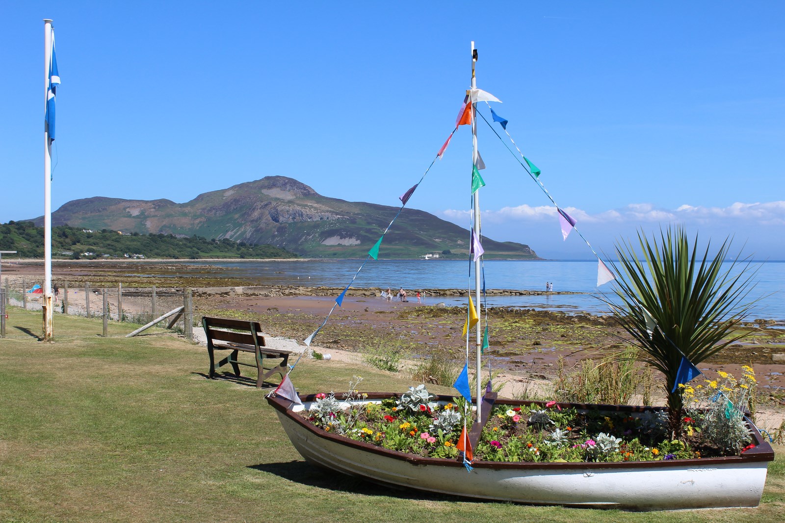
Glenashdale Wood Images

Images are sourced within 2km of 55.481004/-5.1142234 or Grid Reference NS0325. Thanks to Geograph Open Source API. All images are credited.

Loch Garbad
Loch Garbad
Loch Garbad
Loch Garbad
Looking southwards on the A841 at Whiting Bay
Whiting Bay, Arran Whiting Bay is the name of both the settlement and bay. This photograph was taken just north of the Ashdale Bridge which is at the start of the path to the Glenashdale Falls.
Whiting Bay, Arran
Whiting Bay is the name of both the settlement and bay. This photograph was taken just north of the Ashdale Bridge which is at the start of the path to the Glenashdale Falls.
Path to the Glenashdale Falls (Eas a' Chrannaig) and the Glenashdale Burn At this point the path is fairly level. Further along the path has some quite steep sections.
Path to the Glenashdale Falls (Eas a' Chrannaig) and the Glenashdale Burn
At this point the path is fairly level. Further along the path has some quite steep sections.
Footbridge on the path to the Glenashdale Falls (Eas a' Chrannaig) The footbridge crosses an unnamed burn, a tributary of the Glenashdale Burn. Though difficult to see, there is a narrow waterfall with a significant drop at this point.
Footbridge on the path to the Glenashdale Falls (Eas a' Chrannaig)
The footbridge crosses an unnamed burn, a tributary of the Glenashdale Burn. Though difficult to see, there is a narrow waterfall with a significant drop at this point.
Glenashdale Falls (Eas a' Chrannaig) The Glenashdale Falls are a 2 stage waterfall on the Glenashdale Burn. The double falls are about 140 feet in height. They are undoubtedly the most spectacular waterfall on the island of Arran.
Glenashdale Falls (Eas a' Chrannaig)
The Glenashdale Falls are a 2 stage waterfall on the Glenashdale Burn. The double falls are about 140 feet in height. They are undoubtedly the most spectacular waterfall on the island of Arran.
Allt Dhepin
Allt Dhepin
Footpath through Glenashdale Wood
Footpath to Glenashdale Falls
The mouth of Glenashdale Burn
Jetty at Whiting Bay
The Giants' Graves - Isle of Arran Looking towards Goatfell from the Giant's Grave North
The Giants' Graves - Isle of Arran
Looking towards Goatfell from the Giant's Grave North
Whiting Bay Beach Looking towards Holy Isle
Whiting Bay Beach
Looking towards Holy Isle
The Giants' Graves - Isle of Arran Looking towards Holy Isle from the Giant's Grave North
The Giants' Graves - Isle of Arran
Looking towards Holy Isle from the Giant's Grave North
The Giants' Graves - Isle of Arran Looking towards Holy Isle from the Giant's Grave North
The Giants' Graves - Isle of Arran
Looking towards Holy Isle from the Giant's Grave North
The Giants' Graves - Isle of Arran Looking towards Goatfell from the Giant's Grave North
The Giants' Graves - Isle of Arran
Looking towards Goatfell from the Giant's Grave North
Coffee Pot cafe In Whiting Bay, Arran.
Coffee Pot cafe
In Whiting Bay, Arran.
Show me another place!

Glenashdale Wood is located at Grid Ref: NS0325 (Lat: 55.481004, Lng: -5.1142234)

Unitary Authority: North Ayrshire

Police Authority: Ayrshire

What 3 Words

///glance.steroids.follow. Near Whiting Bay, North Ayrshire

Nearby Locations

Glenashdale Wood

Related Wikis

Eas a' Chrannaig

Eas a' Chrannaig also known as the Glenashdale Falls is a waterfall on the island of Arran, Scotland. There are a series of falls on the Glenashdale Burn...

Giants' Graves, Arran

The Giants' Graves are the remains of two Neolithic chambered tombs on the Isle of Arran in Scotland. They are situated within 40 metres of each other...

Whiting Bay

Whiting Bay (Scottish Gaelic: Eadar DhĂ  Rubha, "between two headlands") is a village located on the Isle of Arran in the Firth of Clyde, Scotland four...

Dippen, Arran

Dippen (Scottish Gaelic: An Dipinn) is a settlement on the Isle of Arran in the Firth of Clyde, Scotland, where there is an interesting chambered cairn...

Nearby Amenities

Located within 500m of 55.481004,-5.1142234
Glenashdale Falls
Name Gd: Eas a' Chrannaig
Waterway: waterfall
Wikidata: Q5327437
Wikipedia: en:Eas a' Chrannaig
Lat/Long: 55.4790202/-5.1197635
Iron Age Fort
Historic: archaeological_site
Source: survey
Lat/Long: 55.4809293/-5.1176499
Source: survey
Tourism: picnic_site
Lat/Long: 55.478824/-5.1199935
Bench
Glenashdale Falls far view
Source: survey
Lat/Long: 55.4808651/-5.116024
Glenashdale Falls Platform 1
Tourism: viewpoint
Lat/Long: 55.4791267/-5.1183273
Glenashdale Falls Platform 2
Tourism: viewpoint
Lat/Long: 55.47892/-5.1190901
Information: board
Tourism: information
Lat/Long: 55.4810968/-5.1175192
The data included in this document is from www.openstreetmap.org. The data is made available under ODbL.

Have you been to Glenashdale Wood?

Leave your review of Glenashdale Wood below (or comments, questions and feedback).