Fox Plantation

Wood, Forest in Wigtownshire

Scotland

Fox Plantation

Stena Line Ferries, Loch Ryan One heading for Ireland (right) and one coming from Ireland (left).
Stena Line Ferries, Loch Ryan Credit: Billy McCrorie

Fox Plantation is a picturesque woodland located in Wigtownshire, a region known for its stunning natural landscapes in the southwest of Scotland. Spanning across a vast area, this enchanting forest offers a serene and tranquil retreat for nature enthusiasts and outdoor adventurers alike.

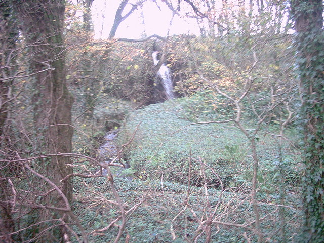
The plantation is primarily made up of dense deciduous trees, with a mix of oak, beech, and birch dominating the landscape. The tall, mature trees provide a dense canopy that filters the sunlight, creating a dappled effect on the forest floor. This unique ecosystem supports a diverse range of flora and fauna, making it a haven for wildlife.

Visitors to Fox Plantation can explore a network of well-maintained trails that wind their way through the woodland, allowing for leisurely walks or more challenging hikes. The paths are lined with native wildflowers, adding splashes of color to the green surroundings. Along the way, one may encounter various bird species, such as woodpeckers and owls, as well as small mammals like foxes and squirrels.

The plantation also features a small stream that meanders through the forest, adding to the overall charm and providing a refreshing spot for picnics or quiet contemplation. For those interested in the history of the area, there are several remnants of ancient settlements and archaeological sites to discover within the wood.

With its breathtaking beauty and abundant wildlife, Fox Plantation is a true gem in Wigtownshire, inviting visitors to immerse themselves in the wonders of nature and experience a sense of tranquility in this idyllic woodland setting.

If you have any feedback on the listing, please let us know in the comments section below.

Fox Plantation Images

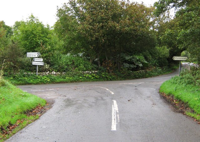
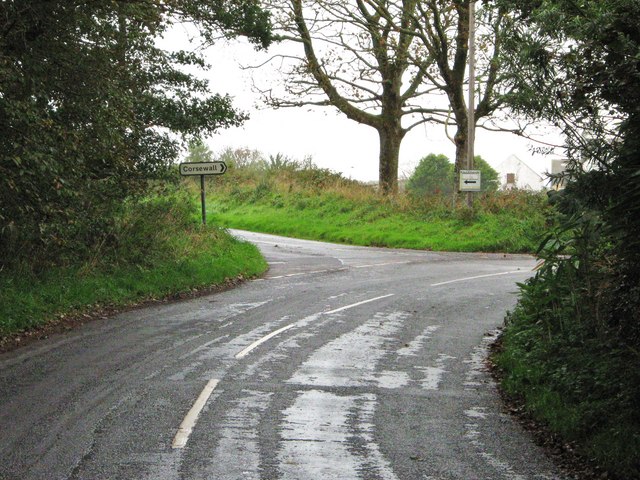
Images are sourced within 2km of 54.985327/-5.0731308 or Grid Reference NX0369. Thanks to Geograph Open Source API. All images are credited.
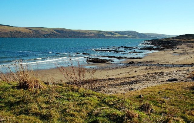
Stena Line Ferries, Loch Ryan One heading for Ireland (right) and one coming from Ireland (left).
Stena Line Ferries, Loch Ryan
One heading for Ireland (right) and one coming from Ireland (left).
The Stena Voyager HSS on Loch Ryan The Stena Voyager High Speed Service (HSS) Ferry on Lochryan having left Stranraer to travel to Belfast.
The Stena Voyager HSS on Loch Ryan
The Stena Voyager High Speed Service (HSS) Ferry on Lochryan having left Stranraer to travel to Belfast.
Jamieson's Point,  Lady Bay,  Loch Ryan
Jamieson's Point, Lady Bay, Loch Ryan
Corsewall Mill Waterfall This waterfall used to power the waterwheel at Corsewall Mill before it was demolished. It is just outside Kirkcolm.
Corsewall Mill Waterfall
This waterfall used to power the waterwheel at Corsewall Mill before it was demolished. It is just outside Kirkcolm.
Sea Caves at the foot of Sea Cliff, Loch Ryan
Stena Voyager Passing Lady Bay The High Speed Ship "Stena Voyager" leaving Loch Ryan on its way from Stranraer to Belfast.
Stena Voyager Passing Lady Bay
The High Speed Ship "Stena Voyager" leaving Loch Ryan on its way from Stranraer to Belfast.
Lady Bay, The Rhins Ferry entering Loch Ryan, passing Lady Bay (this side) and Glen App (far side).
Lady Bay, The Rhins
Ferry entering Loch Ryan, passing Lady Bay (this side) and Glen App (far side).
Lady Bay, The Rhins
Lady Bay, The Rhins
Straw Bales, The Rhins Near Lady Bay.
Straw Bales, The Rhins
Near Lady Bay.
Crab Apples, The Rhins There seemed to be a glut of apples on the many apple trees in this small area.
Crab Apples, The Rhins
There seemed to be a glut of apples on the many apple trees in this small area.
Lady Bay, The Rhins Irish ferry heading inland on Loch Ryan.
Lady Bay, The Rhins
Irish ferry heading inland on Loch Ryan.
Lady Bay, The Rhins Unnamed stream enters Loch Ryan. Glen App opposite.
Lady Bay, The Rhins
Unnamed stream enters Loch Ryan. Glen App opposite.
Lady Bay on the shores of Loch Ryan Lady Bay is approached by a steep unmade track. Across the sea loch [Loch Ryan] Glen App and the surrounding hills can be seen.
Lady Bay on the shores of Loch Ryan
Lady Bay is approached by a steep unmade track. Across the sea loch [Loch Ryan] Glen App and the surrounding hills can be seen.
Loch Ryan This view looks north up Loch Ryan. The low tide has exposed the sand and shingle shore.  The entrance to Glen App is on the far right and Ailsa Craig is on the horizon.
Loch Ryan
This view looks north up Loch Ryan. The low tide has exposed the sand and shingle shore. The entrance to Glen App is on the far right and Ailsa Craig is on the horizon.
Car park at Lady Bay This is a small parking area at Lady Bay.  The yellow sign warns people of the danger from high waves caused by passing ferries.
Car park at Lady Bay
This is a small parking area at Lady Bay. The yellow sign warns people of the danger from high waves caused by passing ferries.
Road junction, near Kirkcolm The road to the right is the A718 to Kirkcolm and the one to the left is a minor one to Corsewall.  The view is taken from the B738.
Road junction, near Kirkcolm
The road to the right is the A718 to Kirkcolm and the one to the left is a minor one to Corsewall. The view is taken from the B738.
Junction of three roads Turn left for Portpatrick and right for Corsewall.
Junction of three roads
Turn left for Portpatrick and right for Corsewall.
Lady Bay This lovely little bay is reached by a rough track coming down the cliffs.  It's well worth the effort to get there.
Lady Bay
This lovely little bay is reached by a rough track coming down the cliffs. It's well worth the effort to get there.
Show me another place!

Fox Plantation is located at Grid Ref: NX0369 (Lat: 54.985327, Lng: -5.0731308)

Unitary Authority: Dumfries and Galloway

Police Authority: Dumfries and Galloway

What 3 Words

///dishing.workshop.mentioned. Near Cairnryan, Dumfries & Galloway

Related Wikis

Kirkcolm

Kirkcolm (Scots: Kirkcoam) is a village and civil parish on the northern tip of the Rhinns of Galloway peninsula, south-west Scotland. It is in Dumfries...

RAF Wig Bay

Royal Air Force Wig Bay, or more simply RAF Wig Bay, is a former Royal Air Force station near Stranraer, Dumfries and Galloway, Scotland The following...
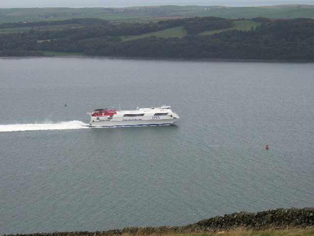
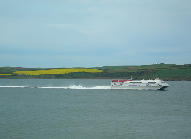
Loch Ryan

Loch Ryan (Scottish Gaelic: Loch Rìoghaine, pronounced [l̪ˠɔx ˈrˠiː.ɛɲə]) is a Scottish sea loch that acts as an important natural harbour for shipping...
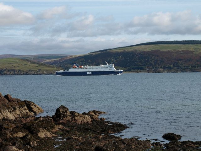
Cairnryan Harbour

Cairnryan Harbour is a roll-on ferry terminal on Loch Ryan in south west Scotland north of Stranraer. In World War II it was developed as an emergency...

Cairnryan

Cairnryan (Scots: The Cairn; Scottish Gaelic: Càrn Rìoghain or Machair an Sgithich) is a village in the historical county of Wigtownshire, Dumfries and...

Ervie

Ervie is a small village in Dumfries and Galloway, Scotland, in the Rhins of Galloway, just outside Stranraer.

Corsewall Point

Corsewall Point, or Corsill Point, is a headland on the northwest coast of Wigtownshire, Kirkcolm near Stranraer, Dumfries and Galloway, Scotland. A lighthouse...

Leswalt

Leswalt (Scottish Gaelic: Lios Uillt) is a village and civil parish in Dumfries and Galloway, south-west Scotland. It lies between Portpatrick and Stranraer...

Nearby Amenities

Located within 500m of 54.985327,-5.0731308
Created By: dmgroom_coastlines
Source: PGS
Lat/Long: 54.98112/-5.071732
Source: PGS
Lat/Long: 54.9826945/-5.0720478
Created By: dmgroom_coastlines
Source: PGS
Lat/Long: 54.984195/-5.071666
Source: PGS
Lat/Long: 54.9846029/-5.071211
Created By: dmgroom_coastlines
Source: PGS
Lat/Long: 54.984974/-5.071039
Source: PGS
Lat/Long: 54.9854783/-5.0707723
Source: PGS
Lat/Long: 54.9864263/-5.0703301
Created By: dmgroom_coastlines
Source: PGS
Lat/Long: 54.986781/-5.070241
Created By: dmgroom_coastlines
Source: PGS
Lat/Long: 54.987037/-5.070254
Created By: dmgroom_coastlines
Source: PGS
Lat/Long: 54.988821/-5.070792
Created By: dmgroom_coastlines
Source: PGS
Lat/Long: 54.989073/-5.071027
Source: PGS
Lat/Long: 54.9893/-5.0711564
Source: PGS
Lat/Long: 54.9893044/-5.0715636
Source: PGS
Lat/Long: 54.9896295/-5.0719679
Power: pole
Lat/Long: 54.9867403/-5.0797817
Power: pole
Lat/Long: 54.9870016/-5.0782299
Power: pole
Lat/Long: 54.9872373/-5.076826
Generator Method: wind_turbine
Generator Source: wind
Power: generator
Lat/Long: 54.9857515/-5.0802578
The data included in this document is from www.openstreetmap.org. The data is made available under ODbL.

Have you been to Fox Plantation?

Leave your review of Fox Plantation below (or comments, questions and feedback).