Shell Home Plantation

Wood, Forest in Wigtownshire

Scotland

Shell Home Plantation

Stena Line Ferries, Loch Ryan One heading for Ireland (right) and one coming from Ireland (left).
Stena Line Ferries, Loch Ryan Credit: Billy McCrorie

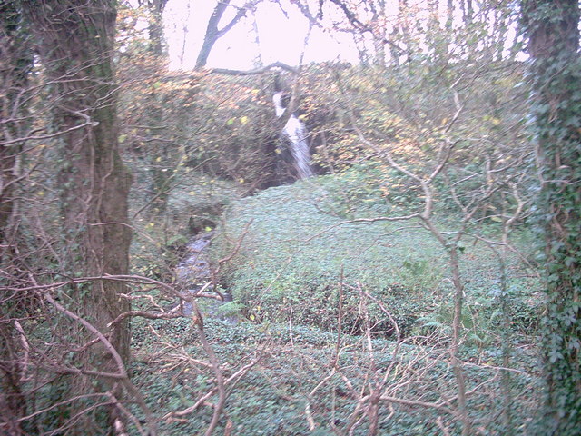
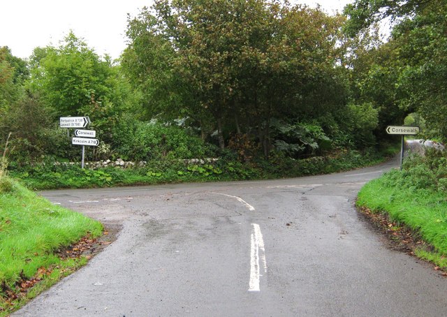
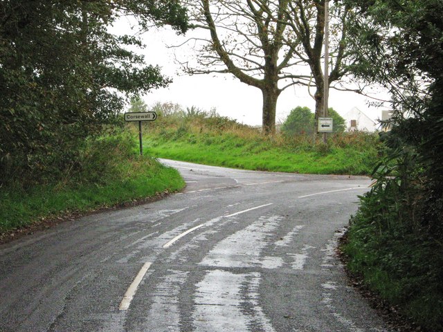
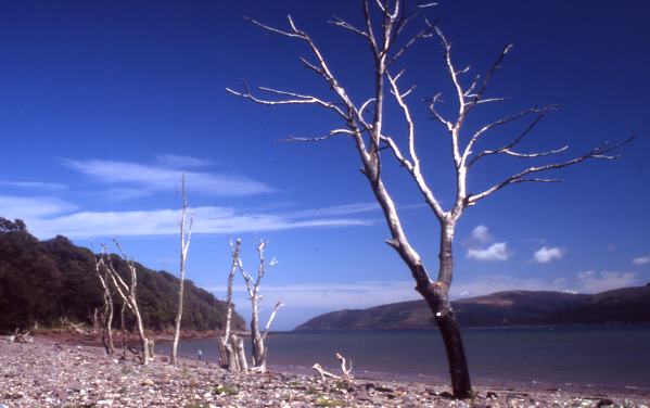
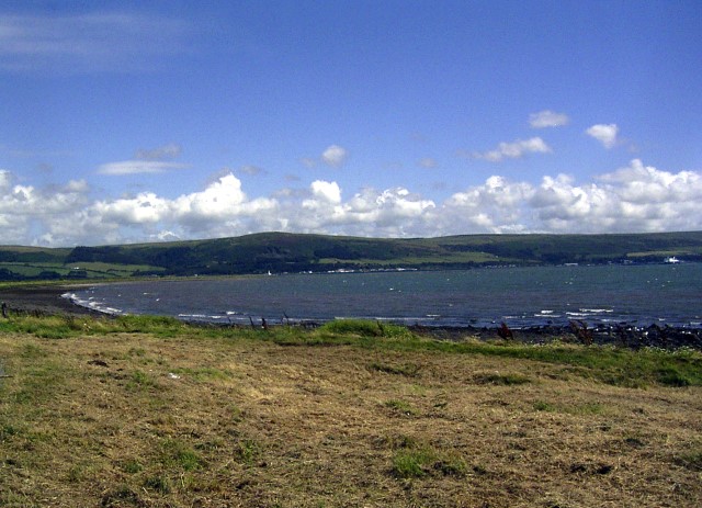
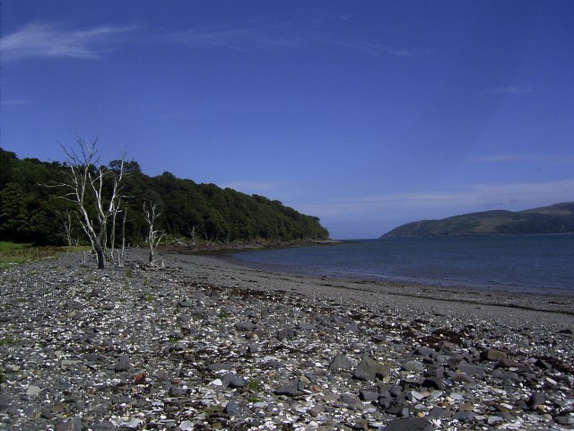
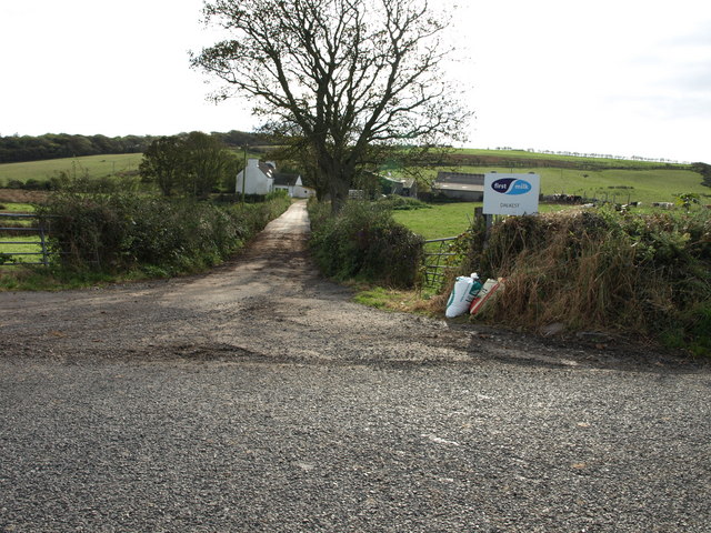
Shell Home Plantation is a picturesque wooded area located in Wigtownshire, Scotland. This beautiful forest is a haven for nature enthusiasts and offers a serene and tranquil atmosphere for visitors to enjoy.

Covering an expansive area, Shell Home Plantation features a diverse range of tree species, including oak, beech, and pine, which create a stunning display of colors throughout the seasons. The forest is home to a variety of wildlife, including red squirrels, deer, and a wide array of bird species, making it a popular spot for birdwatching and wildlife photography.

The plantation offers several well-maintained walking trails that wind their way through the woodland, providing visitors with the opportunity to explore the area while immersing themselves in the natural beauty that surrounds them. These trails are suitable for all fitness levels and offer options for both shorter, leisurely walks and longer, more challenging hikes.

Located near the village of Shell, the plantation is easily accessible and provides ample parking facilities for visitors. Alongside the walking trails, there are picnic areas and benches scattered throughout the woodland, allowing visitors to take a break and enjoy a peaceful picnic surrounded by nature.

Shell Home Plantation is a haven for those seeking a peaceful retreat in the heart of nature. Its breathtaking woodland, diverse wildlife, and well-maintained trails make it a must-visit destination for outdoor enthusiasts and nature lovers alike.

If you have any feedback on the listing, please let us know in the comments section below.

Shell Home Plantation Images

Images are sourced within 2km of 54.980117/-5.07156 or Grid Reference NX0369. Thanks to Geograph Open Source API. All images are credited.

Stena Line Ferries, Loch Ryan One heading for Ireland (right) and one coming from Ireland (left).
Stena Line Ferries, Loch Ryan
One heading for Ireland (right) and one coming from Ireland (left).
The Stena Voyager HSS on Loch Ryan The Stena Voyager High Speed Service (HSS) Ferry on Lochryan having left Stranraer to travel to Belfast.
The Stena Voyager HSS on Loch Ryan
The Stena Voyager High Speed Service (HSS) Ferry on Lochryan having left Stranraer to travel to Belfast.
Jamieson's Point,  Lady Bay,  Loch Ryan
Jamieson's Point, Lady Bay, Loch Ryan
Corsewall Mill Waterfall This waterfall used to power the waterwheel at Corsewall Mill before it was demolished. It is just outside Kirkcolm.
Corsewall Mill Waterfall
This waterfall used to power the waterwheel at Corsewall Mill before it was demolished. It is just outside Kirkcolm.
Sea Caves at the foot of Sea Cliff, Loch Ryan
Road junction, near Kirkcolm The road to the right is the A718 to Kirkcolm and the one to the left is a minor one to Corsewall.  The view is taken from the B738.
Road junction, near Kirkcolm
The road to the right is the A718 to Kirkcolm and the one to the left is a minor one to Corsewall. The view is taken from the B738.
Junction of three roads Turn left for Portpatrick and right for Corsewall.
Junction of three roads
Turn left for Portpatrick and right for Corsewall.
Ruined house beside Loch Ryan
Kirkcolm Church Kirkcolm Church taken from the other side of Church Hill (the road in front of the church). In the grounds is the Kilmorie Cross which was carved in the 10th century.
Kirkcolm Church
Kirkcolm Church taken from the other side of Church Hill (the road in front of the church). In the grounds is the Kilmorie Cross which was carved in the 10th century.
Shore of Loch Ryan Nr Kirkcolm These dead trees on the shore of Loch Ryan make a great photo opportunity. The beach is covered with large shells.
Shore of Loch Ryan Nr Kirkcolm
These dead trees on the shore of Loch Ryan make a great photo opportunity. The beach is covered with large shells.
Loch Ryan Shore
Loch Ryan Shore
A P&O Ferry in Lochryan sailing to Larne and silhouetted against the setting sun. This photo was taken between Cairn Point and Old House Point, North of Cairnryan at sunset on 12th April 2007.
A P&O Ferry in Lochryan sailing to Larne and silhouetted against the setting sun.
This photo was taken between Cairn Point and Old House Point, North of Cairnryan at sunset on 12th April 2007.
Kircolm Rush Hour Even the bus stop is so laid back it's screwed to the front of the house....
Kircolm Rush Hour
Even the bus stop is so laid back it's screwed to the front of the house....
Dalkest Farm, The Rhins
Observation Post Disused lookout on the shore of Loch Ryan, where seaplanes landed during World War II.
Observation Post
Disused lookout on the shore of Loch Ryan, where seaplanes landed during World War II.
Sandbanks in Loch Ryan Showing the wash from a ferry
Sandbanks in Loch Ryan
Showing the wash from a ferry
Ruined house on the shores of Loch Ryan This is a ruined house which stands at the end of a track leading from Kirkcolm to the shores of Loch Ryan.
Ruined house on the shores of Loch Ryan
This is a ruined house which stands at the end of a track leading from Kirkcolm to the shores of Loch Ryan.
Show me another place!

Shell Home Plantation is located at Grid Ref: NX0369 (Lat: 54.980117, Lng: -5.07156)

Unitary Authority: Dumfries and Galloway

Police Authority: Dumfries and Galloway

What 3 Words

///vacancies.scorching.research. Near Cairnryan, Dumfries & Galloway

Related Wikis

Kirkcolm

Kirkcolm (Scots: Kirkcoam) is a village and civil parish on the northern tip of the Rhinns of Galloway peninsula, south-west Scotland. It is in Dumfries...

RAF Wig Bay

Royal Air Force Wig Bay, or more simply RAF Wig Bay, is a former Royal Air Force station near Stranraer, Dumfries and Galloway, Scotland The following...
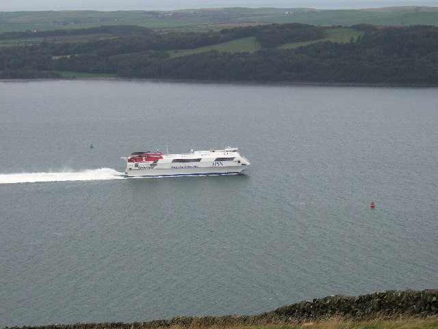
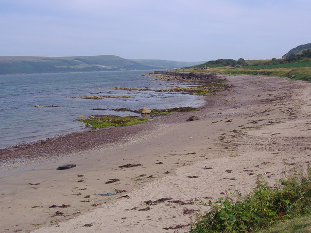
Loch Ryan

Loch Ryan (Scottish Gaelic: Loch Rìoghaine, pronounced [l̪ˠɔx ˈrˠiː.ɛɲə]) is a Scottish sea loch that acts as an important natural harbour for shipping...

Cairnryan Harbour

Cairnryan Harbour is a roll-on ferry terminal on Loch Ryan in south west Scotland north of Stranraer. In World War II it was developed as an emergency...

Cairnryan

Cairnryan (Scots: The Cairn; Scottish Gaelic: Càrn Rìoghain or Machair an Sgithich) is a village in the historical county of Wigtownshire, Dumfries and...

Ervie

Ervie is a small village in Dumfries and Galloway, Scotland, in the Rhins of Galloway, just outside Stranraer.

Leswalt

Leswalt (Scottish Gaelic: Lios Uillt) is a village and civil parish in Dumfries and Galloway, south-west Scotland. It lies between Portpatrick and Stranraer...
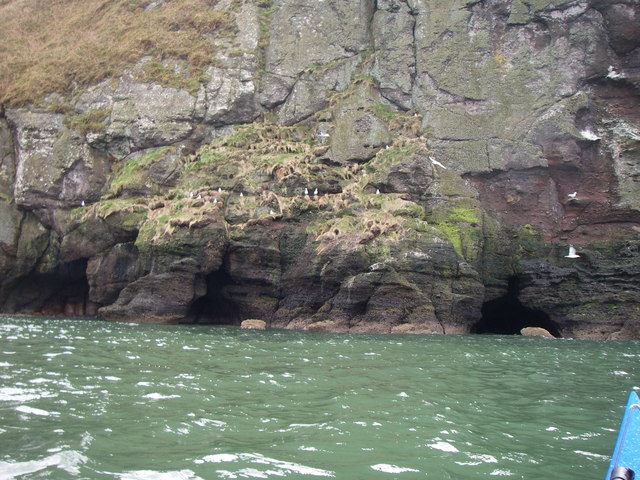
Corsewall Point

Corsewall Point, or Corsill Point, is a headland on the northwest coast of Wigtownshire, Kirkcolm near Stranraer, Dumfries and Galloway, Scotland. A lighthouse...

Nearby Amenities

Located within 500m of 54.980117,-5.07156
Source: PGS
Lat/Long: 54.976439/-5.0682069
Source: PGS
Lat/Long: 54.977104/-5.0687862
Source: PGS
Lat/Long: 54.9776828/-5.0691296
Source: PGS
Lat/Long: 54.9782985/-5.0695587
Created By: dmgroom_coastlines
Source: PGS
Lat/Long: 54.979095/-5.070291
Source: PGS
Lat/Long: 54.9793791/-5.0704516
Source: PGS
Lat/Long: 54.9797023/-5.070696
Source: PGS
Lat/Long: 54.9800717/-5.0709749
Created By: dmgroom_coastlines
Source: PGS
Lat/Long: 54.98036/-5.071247
Created By: dmgroom_coastlines
Source: PGS
Lat/Long: 54.98112/-5.071732
Source: PGS
Lat/Long: 54.9826945/-5.0720478
Created By: dmgroom_coastlines
Source: PGS
Lat/Long: 54.984195/-5.071666
Source: PGS
Lat/Long: 54.9846029/-5.071211
The data included in this document is from www.openstreetmap.org. The data is made available under ODbL.

Have you been to Shell Home Plantation?

Leave your review of Shell Home Plantation below (or comments, questions and feedback).