Torr Wood
Wood, Forest in Ross-shire
Scotland
Torr Wood
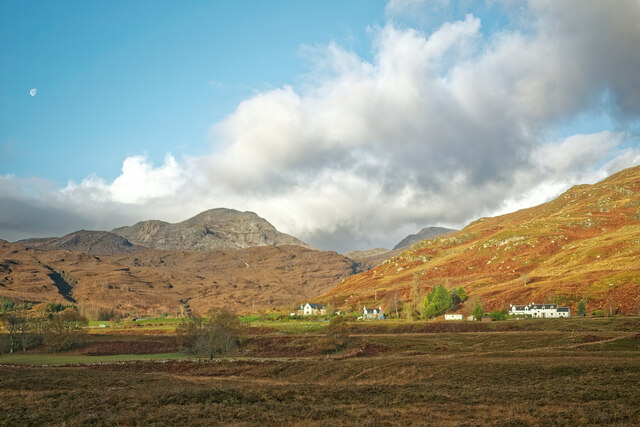
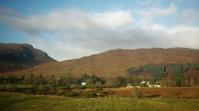
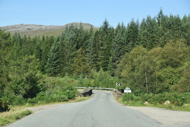
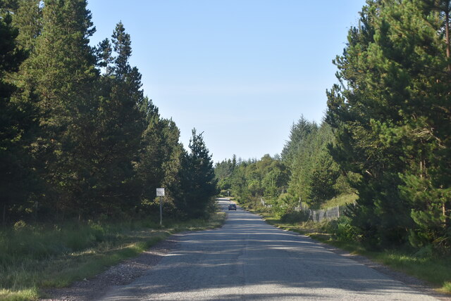
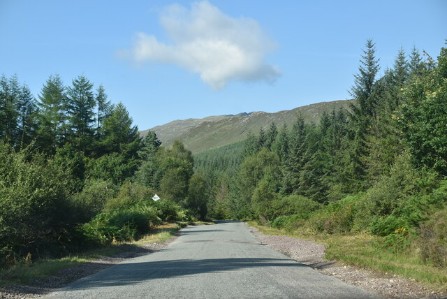
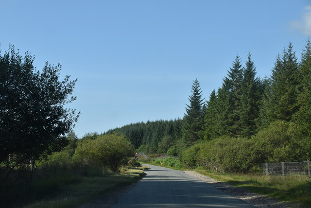
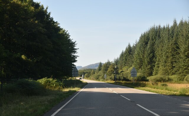
Torr Wood, located in the county of Ross-shire, Scotland, is a picturesque forest that spans over a vast area. It is a renowned natural attraction, attracting visitors from all over due to its scenic beauty and tranquil atmosphere. The wood is situated near the town of Evanton and is easily accessible by car or public transportation.
Torr Wood boasts a diverse range of flora and fauna, making it an ideal habitat for various species of plants and wildlife. The forest is characterized by its dense canopy of trees, primarily composed of native species such as oak, birch, and pine. The interwoven foliage creates a stunning visual spectacle, particularly during the autumn months when the leaves transform into vibrant hues of red, orange, and gold.
The wood is crisscrossed with numerous walking trails, allowing visitors to explore its natural wonders at their own pace. These paths offer breathtaking views of the surrounding countryside and lead to hidden gems such as enchanting streams and secluded picnic spots. Birdwatchers will also find Torr Wood to be a haven, as it is home to a variety of avian species, including woodpeckers, owls, and various songbirds.
Aside from its natural beauty, Torr Wood holds historical significance as well. The site was once part of the ancient Caledonian Forest, which covered vast areas of Scotland. Today, remnants of this ancient forest can still be observed within Torr Wood, adding a sense of historical importance to the area.
Overall, Torr Wood stands as a testament to the natural wonders of Ross-shire, offering visitors a serene escape from the bustling city life and a chance to immerse themselves in the stunning beauty of Scotland's woodlands.
If you have any feedback on the listing, please let us know in the comments section below.
Torr Wood Images
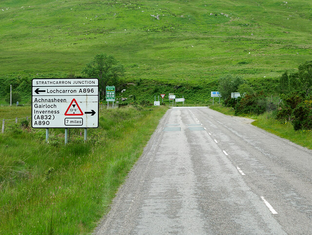
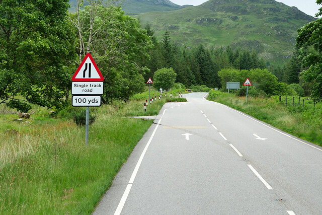
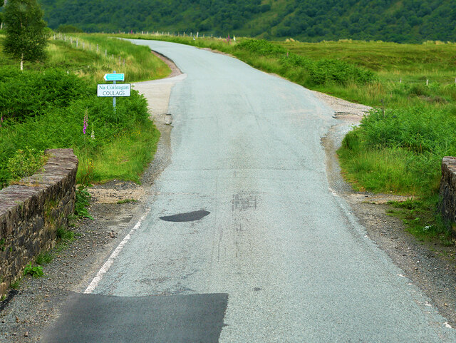
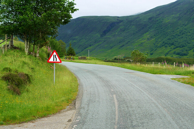
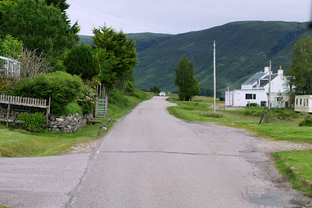
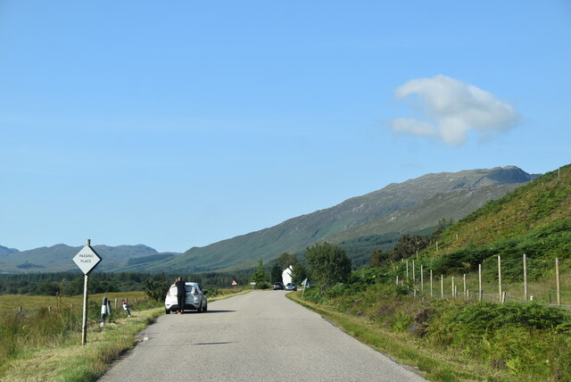
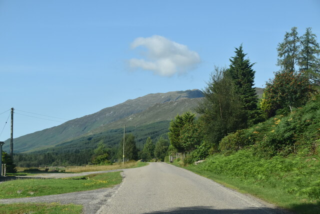
Images are sourced within 2km of 57.437718/-5.4160298 or Grid Reference NG9543. Thanks to Geograph Open Source API. All images are credited.

Torr Wood is located at Grid Ref: NG9543 (Lat: 57.437718, Lng: -5.4160298)
Unitary Authority: Highland
Police Authority: Highlands and Islands
What 3 Words
///runners.array.panics. Near Lochcarron, Highland
Nearby Locations
Related Wikis

Coulags
Coulags (Scottish Gaelic: Na Cùileagan) is a small hamlet in Glen Carron in Strathcarron, west Ross-shire, Scottish Highlands and is in the Scottish...

River Carron, Wester Ross
River Carron (Scottish Gaelic: Carrann, pronounced [ˈkʰaᵲən̴̪]) is a west coast river in Wester Ross, in the Highlands of Scotland. The river rises in...

Strathcarron, Highland
Strathcarron (Scottish Gaelic: Srath Carrann) is a hamlet, in the Highland council area of Scotland. == Geography == It is situated at the head of the...

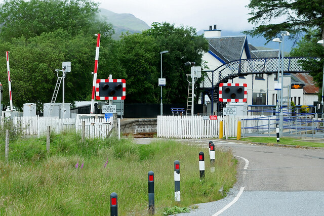
Strathcarron railway station
Strathcarron railway station is a remote railway station on the Kyle of Lochalsh Line, serving the small village of Strathcarron and the larger village...
Nearby Amenities
Located within 500m of 57.437718,-5.4160298Have you been to Torr Wood?
Leave your review of Torr Wood below (or comments, questions and feedback).