Blackwood
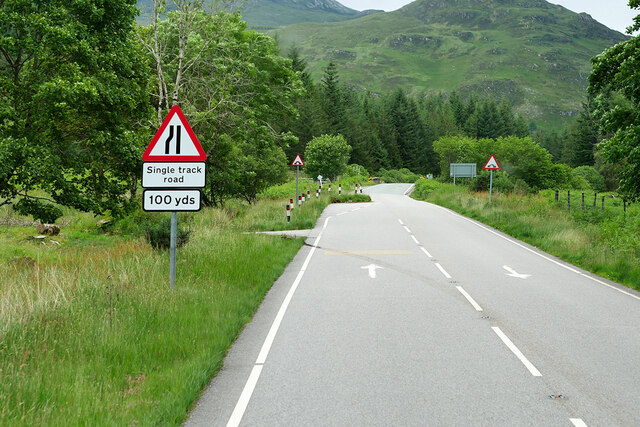
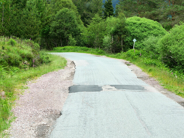
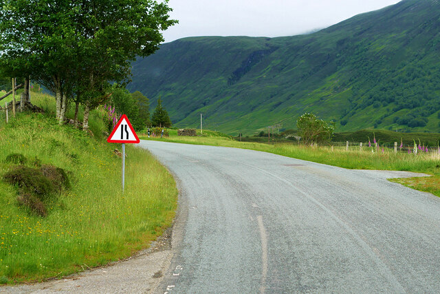
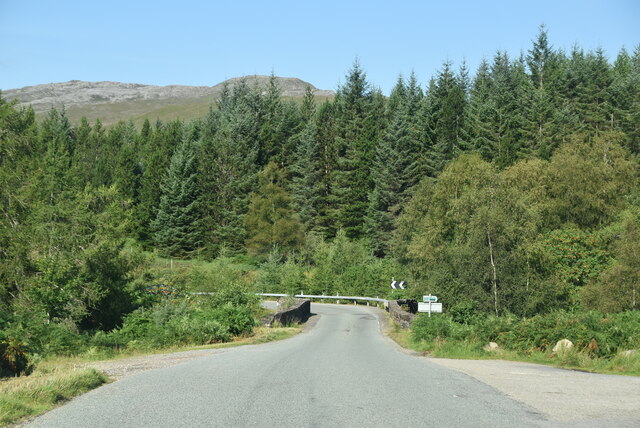
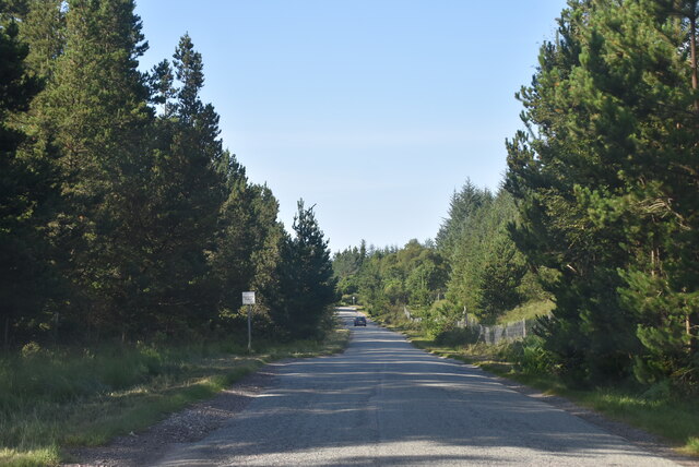
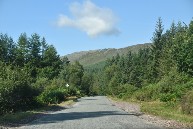
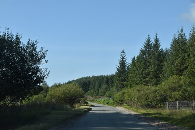
Downs, Moorland in Ross-shire
Scotland
Blackwood
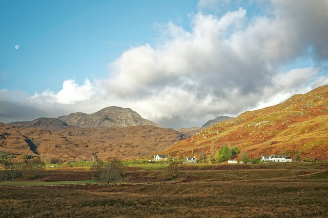
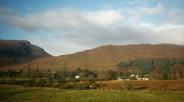
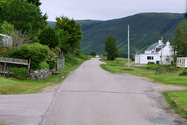
Blackwood is a charming village located in Ross-shire, a historic county in the Scottish Highlands. Situated amidst stunning natural landscapes, the village is renowned for its picturesque surroundings of downs and moorland. With a population of around 300 residents, Blackwood offers a tranquil and close-knit community atmosphere.
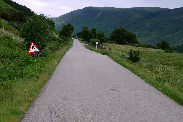
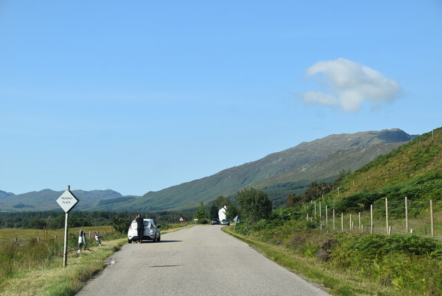
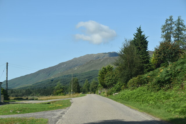
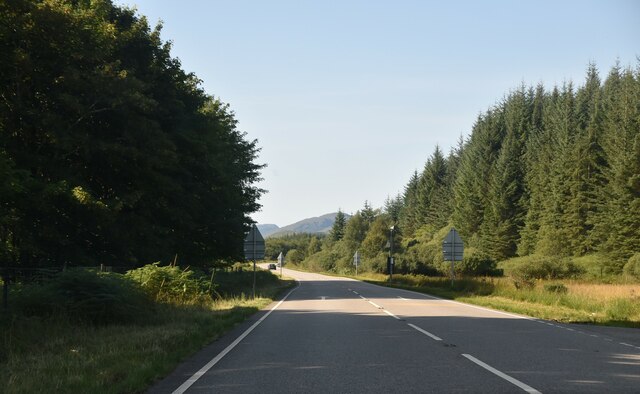
The village is nestled amidst rolling hills and vast stretches of moorland, providing breathtaking views for residents and visitors alike. The downs and moorland surrounding Blackwood are characterized by their rugged beauty, with heather-covered hills, scattered wildflowers, and occasional clusters of trees. This makes the area a haven for nature lovers, hikers, and photographers.
Despite its small size, Blackwood boasts a rich history. The village has several traditional stone cottages, some of which date back to the 18th century, giving it a distinct old-world charm. The local community takes great pride in preserving the village's historic character and maintaining its unique identity.
The village is also home to a few amenities, including a cozy pub and a small village shop, providing essential goods for residents and visitors. While Blackwood may not have extensive commercial offerings, its close proximity to larger towns and cities ensures easy access to a wider range of facilities and services.
Blackwood, Ross-shire, with its downs and moorland, offers a peaceful retreat from the hustle and bustle of city life. Its idyllic setting, friendly community, and rich history make it an attractive destination for those seeking a slower pace of life and a connection to nature.
If you have any feedback on the listing, please let us know in the comments section below.
Blackwood Images
Images are sourced within 2km of 57.436896/-5.4108691 or Grid Reference NG9543. Thanks to Geograph Open Source API. All images are credited.

Blackwood is located at Grid Ref: NG9543 (Lat: 57.436896, Lng: -5.4108691)
Unitary Authority: Highland
Police Authority: Highlands and Islands
What 3 Words
///eminent.downturn.officials. Near Lochcarron, Highland
Nearby Locations
Related Wikis

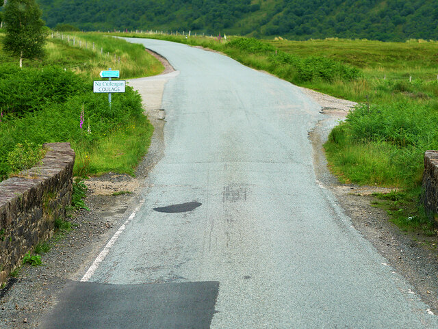
Coulags
Coulags (Scottish Gaelic: Na Cùileagan) is a small hamlet in Glen Carron in Strathcarron, west Ross-shire, Scottish Highlands and is in the Scottish...

Strathcarron, Highland
Strathcarron (Scottish Gaelic: Srath Carrann) is a hamlet, in the Highland council area of Scotland. == Geography == It is situated at the head of the...

River Carron, Wester Ross
River Carron (Scottish Gaelic: Carrann, pronounced [ˈkʰaᵲən̴̪]) is a west coast river in Wester Ross, in the Highlands of Scotland. The river rises in...

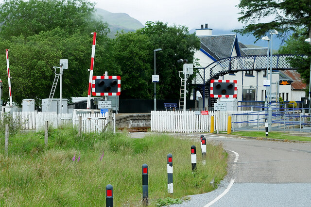
Strathcarron railway station
Strathcarron railway station is a remote railway station on the Kyle of Lochalsh Line, serving the small village of Strathcarron and the larger village...

Balnacra
Balnacra (Scottish Gaelic: Beul-àtha na Crà) is a village in Strathcarron, Ross-Shire, Scotland, roughly seven miles from the village of Lochcarron. It...
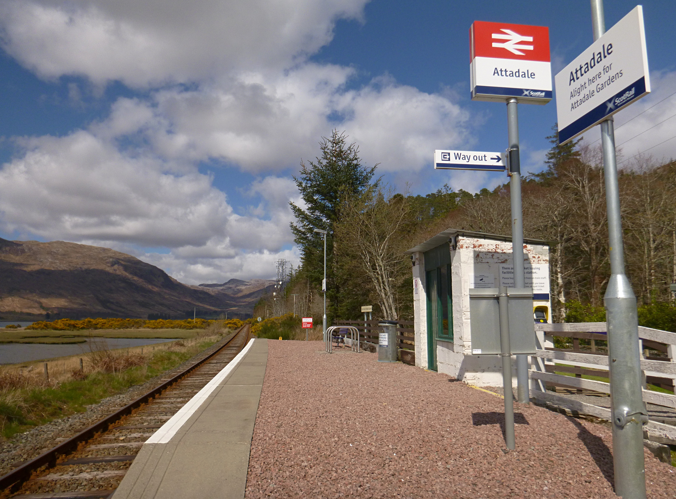
Attadale railway station
Attadale railway station is a remote railway station on the Kyle of Lochalsh Line, serving the village of Attadale on Loch Carron in the Highlands, northern...
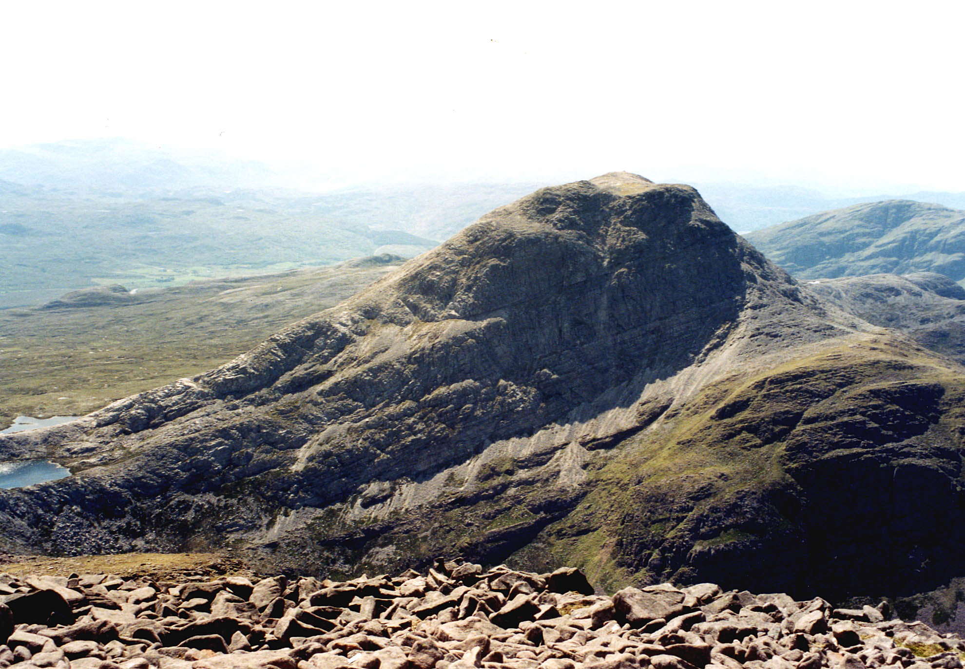
An Ruadh-stac
An Ruadh-stac is a Scottish mountain situated in the Wester Ross region of the Highland council area. It is located 26 km north east of Kyle of Lochalsh...

Fuar Tholl
Fuar Tholl is a mountain in the highlands of Scotland. The mountain is situated in the Coulin deer forest 21 km SW of Achnasheen in the Wester Ross region...
Nearby Amenities
Located within 500m of 57.436896,-5.4108691Have you been to Blackwood?
Leave your review of Blackwood below (or comments, questions and feedback).