Dail an Arbhair
Downs, Moorland in Argyllshire
Scotland
Dail an Arbhair

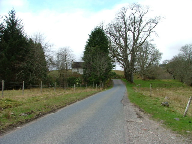
Dail an Arbhair, located in Argyllshire, Scotland, is a stunning landscape characterized by its downs and moorland. Stretching across a vast area, this region offers a diverse and captivating environment for visitors to explore.
The downs of Dail an Arbhair are marked by gently rolling hills and expansive grasslands. These areas are adorned with an array of wildflowers, creating a picturesque scene during the blooming season. The downs provide a tranquil setting, perfect for leisurely walks or picnics, allowing visitors to immerse themselves in the beauty of the surrounding nature.
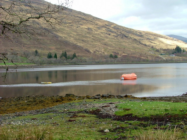
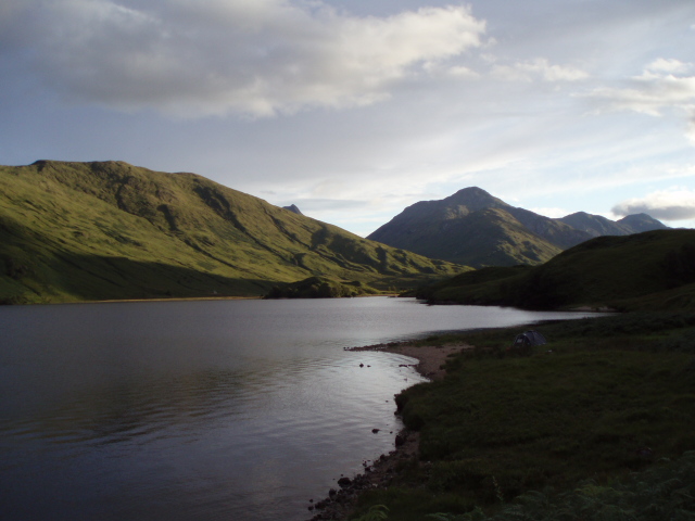
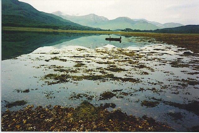
In contrast, the moorland of Dail an Arbhair presents a more rugged and untamed terrain. Covered in heather, bracken, and moss, this landscape showcases a rich palette of earthy tones. The moorland is punctuated by small lochs and streams, adding to its natural charm. It provides a habitat for various wildlife species, such as deer, grouse, and birds of prey, making it an ideal destination for nature enthusiasts and birdwatchers.
Dail an Arbhair also offers breathtaking panoramic views, with the downs and moorland merging seamlessly into the surrounding mountains and hills. The ever-changing weather conditions further enhance the beauty of this region, as sunlight breaks through the clouds, casting dramatic shadows on the landscape.
Visitors to Dail an Arbhair can enjoy a range of outdoor activities such as hiking, wildlife spotting, or simply taking in the serene atmosphere. With its diverse and captivating scenery, this area is a must-visit destination for those seeking a true Scottish wilderness experience.
If you have any feedback on the listing, please let us know in the comments section below.
Dail an Arbhair Images
Images are sourced within 2km of 56.856348/-5.358561 or Grid Reference NM9578. Thanks to Geograph Open Source API. All images are credited.


Dail an Arbhair is located at Grid Ref: NM9578 (Lat: 56.856348, Lng: -5.358561)
Unitary Authority: Highland
Police Authority: Highlands and Islands
What 3 Words
///plugs.clay.desktops. Near Fort William, Highland
Nearby Locations
Related Wikis

Dubh Lighe
Dubh Lighe is a 2-kilometre (1.2 mi) long river in Lochaber, Highland, Scotland that flows the Gleann Dubh Lighe glen (valley), before flowing into Loch...
Battle of Bun Garbhain
The Battle of Bun Garbhain was a Scottish clan battle fought in 1570, in the Scottish Highlands, between the Clan Cameron and the Clan Mackintosh. ��2...

Locheilside railway station
Locheilside railway station is a railway station on the northern shore of Loch Eil in the Highland Council Area of Scotland. This station is on the West...
Kinlocheil
Kinlochiel (Scottish Gaelic: Ceann Loch Iall) is a hamlet on the north west shore of Loch Eil in Lochaber, Scottish Highlands and is in the Scottish council...
Nearby Amenities
Located within 500m of 56.856348,-5.358561Have you been to Dail an Arbhair?
Leave your review of Dail an Arbhair below (or comments, questions and feedback).