Cnoc nam Flùr

Hill, Mountain in Argyllshire

Scotland

Cnoc nam Flùr

West Highland Line at Kinlocheil
West Highland Line at Kinlocheil Credit: Peter Moore

Cnoc nam Flùr, located in Argyllshire, Scotland, is a prominent hill/mountain in the region. Standing at an elevation of 742 meters (2,434 feet), it offers breathtaking panoramic views of the surrounding landscape. Situated in a remote and wild part of Argyllshire, Cnoc nam Flùr is known for its rugged terrain and challenging hiking trails, making it a favorite destination for outdoor enthusiasts and mountaineers.

The hill/mountain is characterized by its rocky and craggy features, with steep slopes and narrow ridges that require careful navigation. The ascent to the summit involves traversing through dense vegetation, including heather and grasses, providing a diverse and picturesque scenery. As hikers make their way up, they are rewarded with stunning vistas of the nearby lochs, glens, and mountains, showcasing the natural beauty of the area.

Cnoc nam Flùr is part of the larger Argyll Forest Park, which covers an extensive area of woodlands, mountains, and lochs. This protected area is home to a diverse range of flora and fauna, including red deer, golden eagles, and roe deer. Nature enthusiasts can expect encounters with these majestic creatures while exploring the hill/mountain.

The hill/mountain is accessible via several hiking routes, each varying in difficulty and length. The ascent can take approximately 4-5 hours, depending on the chosen path and the hiker's pace. It is recommended to be well-prepared, equipped with appropriate hiking gear, and to check weather conditions before embarking on the journey.

Cnoc nam Flùr offers a challenging yet rewarding outdoor experience, allowing visitors to immerse themselves in the natural wonders of Argyllshire's rugged landscapes.

If you have any feedback on the listing, please let us know in the comments section below.

Cnoc nam Flùr Images

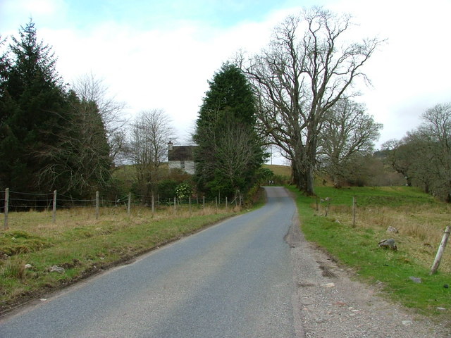
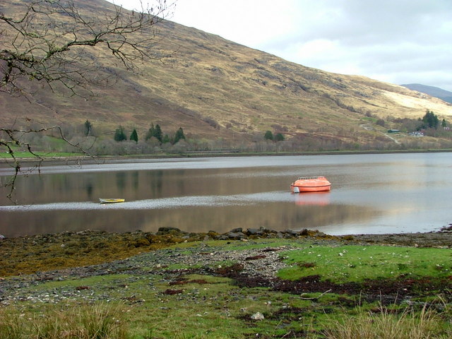
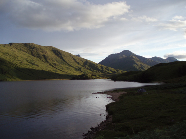
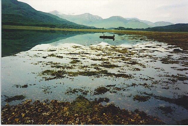
Images are sourced within 2km of 56.856941/-5.3505571 or Grid Reference NM9578. Thanks to Geograph Open Source API. All images are credited.

West Highland Line at Kinlocheil
Level crossing near Kinlocheil
A830 towards Fort William
Lone tree on the shore of Loch Eil near Kinlocheil
The valley floor at the head of Loch Eil
Lon Druim na Saille The valley floor between Coille Druim na Saille and Lon Druim Fearna, above the head of Loch Eil.
Lon Druim na Saille
The valley floor between Coille Druim na Saille and Lon Druim Fearna, above the head of Loch Eil.
House at Drumsallie
House at Drumsallie
Track at the head of Loch Eil
Boats at the head of Loch Eil Viewed from the A861 Ardgour road.
Boats at the head of Loch Eil
Viewed from the A861 Ardgour road.
Large boulder on the shore of Loch Eil
Farm building at Kinlocheil By the side of the A830 Fort William to Mallaig road.
Farm building at Kinlocheil
By the side of the A830 Fort William to Mallaig road.
Level crossing at Kinlocheil Loch Eil is in the background.
Level crossing at Kinlocheil
Loch Eil is in the background.
Torban A wee house on the hill above the A830 Fort William to Mallaig road.
Torban
A wee house on the hill above the A830 Fort William to Mallaig road.
Fionn Lighe enters Loch Eil Taken from the West Coast Railway excursion.
Fionn Lighe enters Loch Eil
Taken from the West Coast Railway excursion.
Fionn Lighe enters Loch Eil
Moorland south of Coille Druim na Saille
Kinlocheil View Viewed on a fine calm morning in August.
Kinlocheil View
Viewed on a fine calm morning in August.
Beautiful Loch Eil Viewed at Kinlocheil on a fine calm August morning.
Beautiful Loch Eil
Viewed at Kinlocheil on a fine calm August morning.
Show me another place!

Cnoc nam Flùr is located at Grid Ref: NM9578 (Lat: 56.856941, Lng: -5.3505571)

Unitary Authority: Highland

Police Authority: Highlands and Islands

What 3 Words

///sweep.apartment.asking. Near Fort William, Highland

Related Wikis

Dubh Lighe

Dubh Lighe is a 2-kilometre (1.2 mi) long river in Lochaber, Highland, Scotland that flows the Gleann Dubh Lighe glen (valley), before flowing into Loch...

Battle of Bun Garbhain

The Battle of Bun Garbhain was a Scottish clan battle fought in 1570, in the Scottish Highlands, between the Clan Cameron and the Clan Mackintosh. ��2...

Locheilside railway station

Locheilside railway station is a railway station on the northern shore of Loch Eil in the Highland Council Area of Scotland. This station is on the West...

Kinlocheil

Kinlochiel (Scottish Gaelic: Ceann Loch Iall) is a hamlet on the north west shore of Loch Eil in Lochaber, Scottish Highlands and is in the Scottish council...

Nearby Amenities

Located within 500m of 56.856941,-5.3505571
Bus Stop
Trislaig Road End
Naptan AtcoCode: 670013003
Naptan Bearing: W
Naptan CommonName: Trislaig Road End
Naptan Indicator: at A861 Road End
Naptan Landmark: A861
Naptan NaptanCode: 45326768
Naptan Street: A830
Naptan Verified: no
Source: naptan_import
Lat/Long: 56.8603264/-5.3490378
Bus Stop
Trislaig Road End
Naptan AtcoCode: 670013003A
Naptan Bearing: E
Naptan CommonName: Trislaig Road End
Naptan Indicator: opp A861 Road End
Naptan Landmark: A861
Naptan NaptanCode: 45326769
Naptan Street: A830
Naptan Verified: no
Source: naptan_import
Lat/Long: 56.8607773/-5.3485257
Drumsallie
Name Gd: Druim na Saille
Place: hamlet
Lat/Long: 56.8584226/-5.3501379
Power: pole
Lat/Long: 56.8608039/-5.3499743
Power: pole
Lat/Long: 56.8601192/-5.352053
Power: pole
Lat/Long: 56.8595678/-5.3536731
Power: pole
Lat/Long: 56.8591792/-5.3548935
Power: pole
Lat/Long: 56.8590986/-5.3564626
Power: pole
Lat/Long: 56.859059/-5.3576803
Power: pole
Lat/Long: 56.8548328/-5.3434599
Power: pole
Lat/Long: 56.854832/-5.34446
Power: pole
Lat/Long: 56.8548271/-5.3454871
Power: pole
Lat/Long: 56.8548508/-5.3464947
Power: pole
Lat/Long: 56.8548803/-5.3475606
Power: pole
Lat/Long: 56.8549/-5.3485308
Power: pole
Lat/Long: 56.8549204/-5.3496477
Power: pole
Lat/Long: 56.8549491/-5.3506717
Power: pole
Lat/Long: 56.8549777/-5.3517123
Power: pole
Lat/Long: 56.855676/-5.3521195
Power: pole
Lat/Long: 56.8561221/-5.352389
Power: pole
Lat/Long: 56.8566975/-5.3527363
Power: pole
Lat/Long: 56.8572591/-5.3530642
Power: pole
Lat/Long: 56.8578386/-5.3532214
Power: pole
Lat/Long: 56.8584279/-5.3533771
Power: pole
Lat/Long: 56.8590025/-5.3535328
Drumfern
Name Gd: Druim Feàrna
Place: isolated_dwelling
Lat/Long: 56.853764/-5.3509427
Ford: yes
Lat/Long: 56.8554579/-5.3539362
Ford: yes
Lat/Long: 56.8556553/-5.3553237
The data included in this document is from www.openstreetmap.org. The data is made available under ODbL.

Have you been to Cnoc nam Flùr?

Leave your review of Cnoc nam Flùr below (or comments, questions and feedback).