A' Chruach
Hill, Mountain in Argyllshire
Scotland
A' Chruach
A' Chruach is a prominent hill located in Argyllshire, Scotland. Situated in the western part of the country, it is part of the wider area known as the Scottish Highlands. A' Chruach stands at an elevation of 512 meters (1,680 feet), making it a notable landmark in the region.
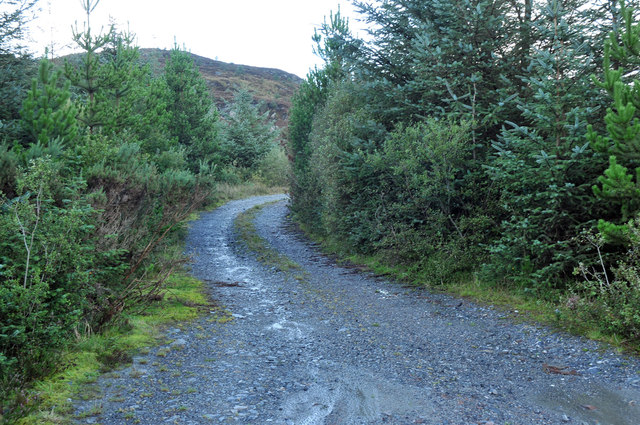
The hill is characterized by its distinctive shape, featuring a pointed summit and steep slopes. Its distinctive appearance has made it a favorite among hikers and climbers, offering a challenging but rewarding ascent. From the summit, visitors are treated to breathtaking panoramic views of the surrounding countryside, including nearby lochs and the vast expanse of rolling hills and mountains.
A' Chruach is situated within a natural landscape rich in biodiversity. The hill is home to a variety of plant and animal species, including heather, ferns, and several bird species. It provides an important habitat for wildlife and is a significant conservation area.
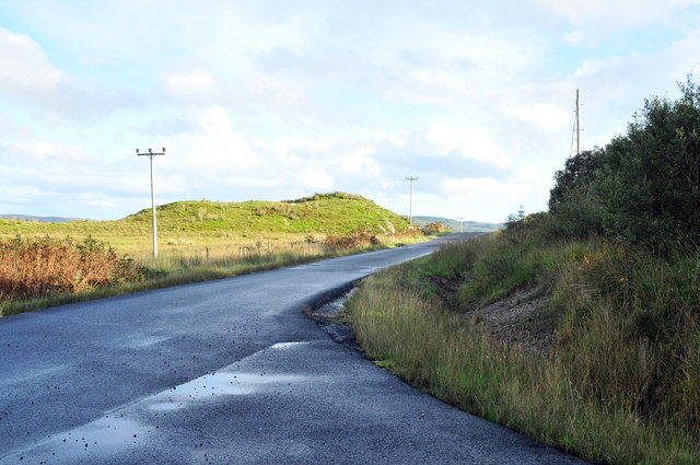
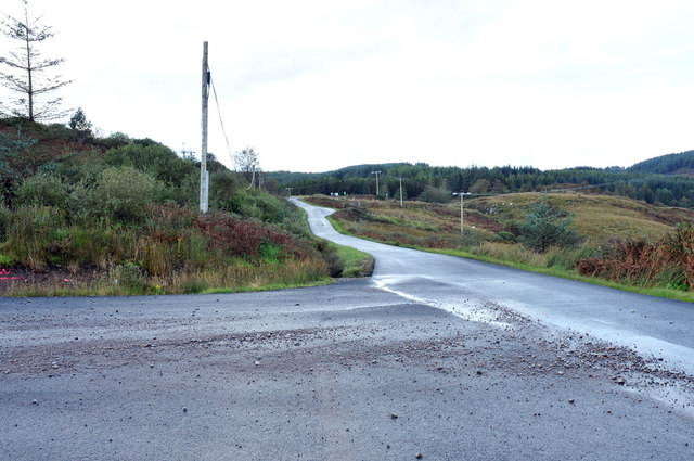
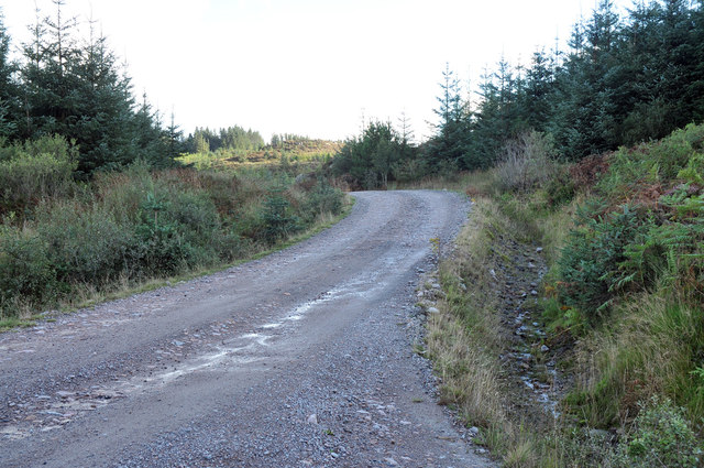
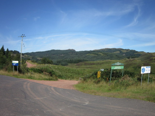
Access to A' Chruach is relatively straightforward, with a number of well-maintained trails and paths leading to the summit. The hill is a popular destination for outdoor enthusiasts, offering opportunities for walking, hiking, and photography. It is recommended that visitors come prepared with appropriate clothing and equipment, as weather conditions can change rapidly in this region.
Overall, A' Chruach is a stunning natural landmark that offers both physical challenges and visual rewards. Its accessibility and natural beauty make it a must-visit destination for those exploring the Argyllshire area.
If you have any feedback on the listing, please let us know in the comments section below.
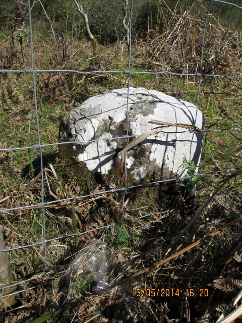
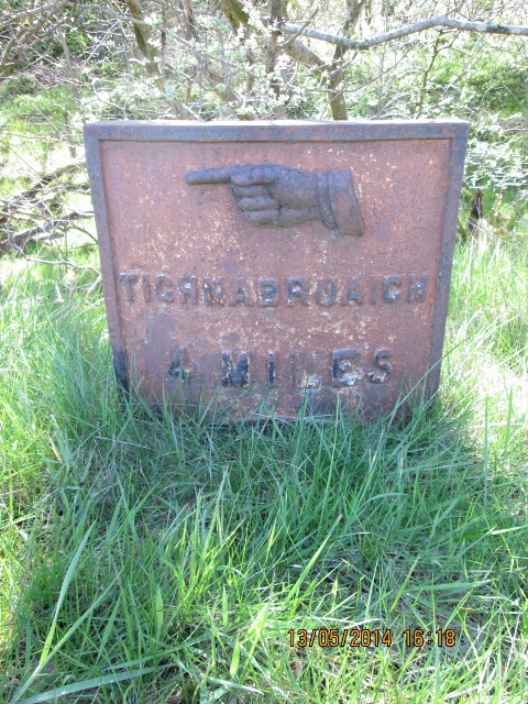
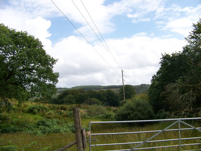
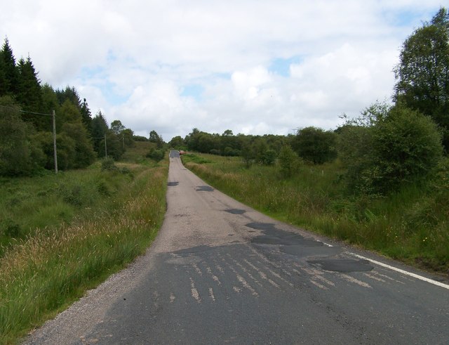
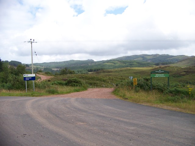
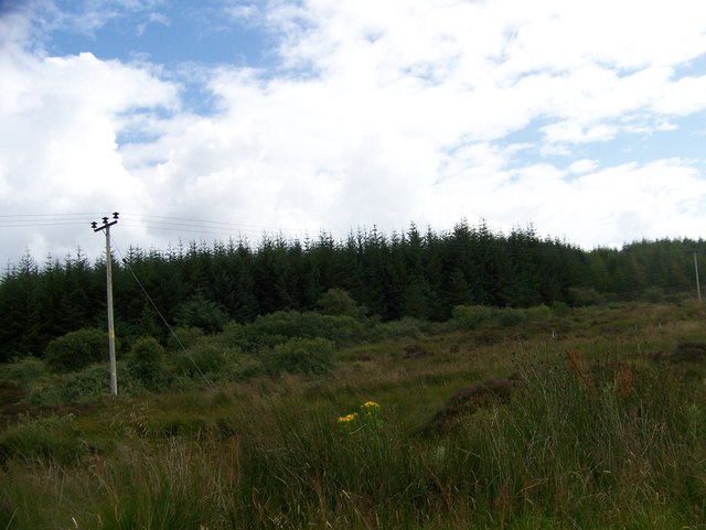
A' Chruach Images
Images are sourced within 2km of 55.911324/-5.2685455 or Grid Reference NR9573. Thanks to Geograph Open Source API. All images are credited.
A' Chruach is located at Grid Ref: NR9573 (Lat: 55.911324, Lng: -5.2685455)
Unitary Authority: Argyll and Bute
Police Authority: Argyll and West Dunbartonshire
What 3 Words
///instance.ratio.darling. Near Tarbert, Argyll & Bute
Nearby Locations
Related Wikis

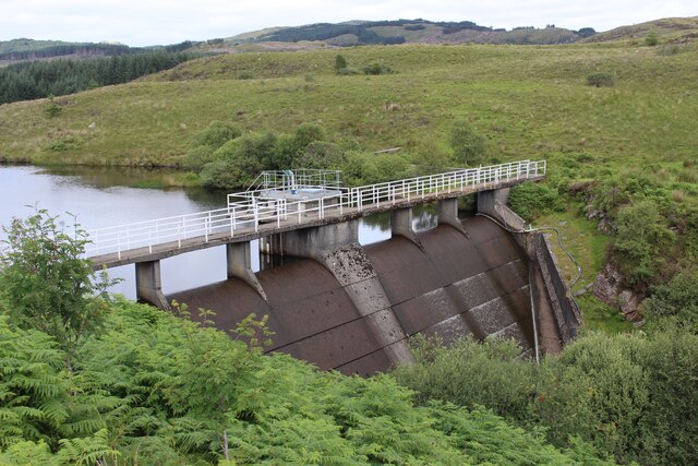
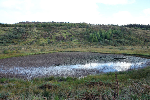
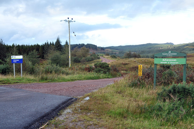
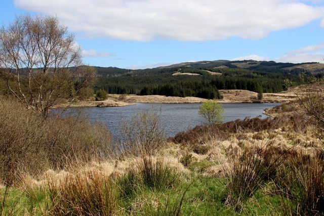
Craignafeich Reservoirs
The Craignafeich Reservoirs (also “Craignafeoch”) are a pair of lochs in Archarossan Forest, 3 kilometres west of Tighnabruaich. The main concrete dam...

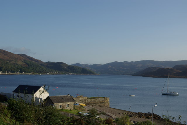
Tighnabruaich
Tighnabruaich; ( ; Scottish Gaelic: Taigh na Bruaich) is a village on the Cowal peninsula, on the western arm of the Kyles of Bute in Argyll and Bute,...

Tighnabruaich Lifeboat Station
Tighnabruaich Lifeboat Station is located in the Kyles of Bute. It has been in use for nearly 40 years. The inshore lifeboat carries out rescues mainly...
Kames, Argyll
Kames (Scottish Gaelic: Camas nam Muclach) is a small village on the Cowal peninsula in Argyll and Bute, Scotland, on the shore of the west arm of the...

Millhouse, Argyll
Millhouse is a village in the parish of Kilfinan. Located on the B8000 inland from Kames in the east and Portavadie in the west, on the Cowal peninsula...

Asgog Loch
Asgog Loch is a natural freshwater loch in Argyll and Bute, Scotland. It is located about 4 kilometres (2.5 mi) southwest of Tighnabruaich, on the Cowal...

Portavadie
Portavadie (Scottish Gaelic: Port a' Mhadaidh) is a village on the shores of Loch Fyne in Argyll and Bute, Scotland.The Portavadie complex was built in...

Polphail
Polphail was a ghost village in Scotland. It was demolished in 2016. == Location == Polphail was located at Portavadie on the west coast of the Cowal Peninsula...
Nearby Amenities
Located within 500m of 55.911324,-5.2685455Have you been to A' Chruach?
Leave your review of A' Chruach below (or comments, questions and feedback).