Creag an Fhithich
Hill, Mountain in Argyllshire
Scotland
Creag an Fhithich
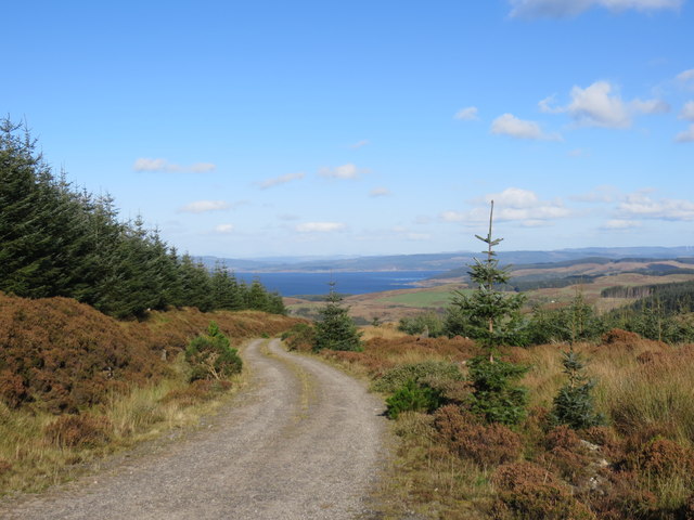
Creag an Fhithich, also known as the Raven's Crag, is a prominent hill located in Argyllshire, Scotland. It is part of the stunning landscape of the West Highlands and is situated within the Loch Awe Forest Park. Rising to an elevation of approximately 531 meters (1,742 feet), this hill offers breathtaking views of the surrounding countryside.
Creag an Fhithich is characterized by its rugged terrain, with steep slopes covered in heather and bracken. The hill is composed mainly of quartzite, which gives it a distinctive appearance. Its exposed rock faces are popular among climbers and provide a challenging ascent for experienced hikers.
The summit of Creag an Fhithich offers panoramic views of the surrounding area, including Loch Awe, the longest freshwater loch in Scotland. On a clear day, it is possible to see as far as the Isle of Mull and the Paps of Jura in the distance.
The hill is also home to a diverse range of flora and fauna. The lower slopes are covered in oak and birch woodlands, while higher up, heather moorland dominates the landscape. The area is known for its rich biodiversity, with various bird species, including the golden eagle and raven, frequently spotted in the vicinity.
Creag an Fhithich is a popular destination for outdoor enthusiasts, offering opportunities for hiking, wildlife observation, and photography. Its remote location and unspoiled natural beauty make it a hidden gem within the Argyllshire region, attracting visitors who seek tranquility and a connection with nature.
If you have any feedback on the listing, please let us know in the comments section below.
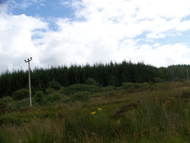
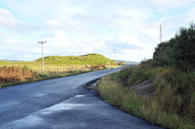
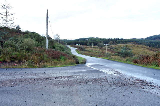
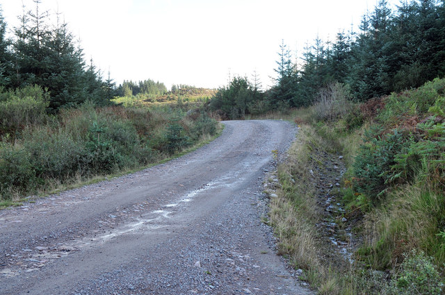
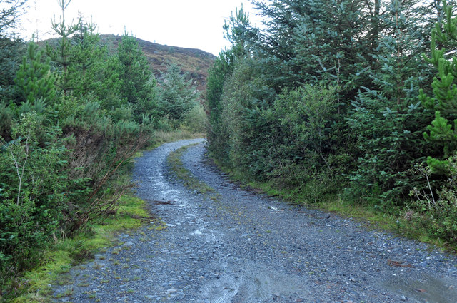
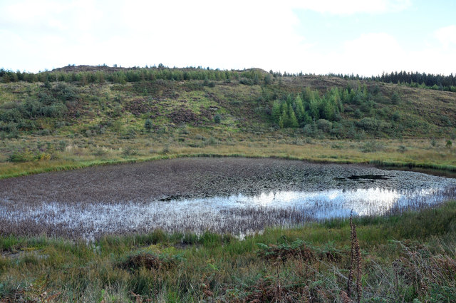
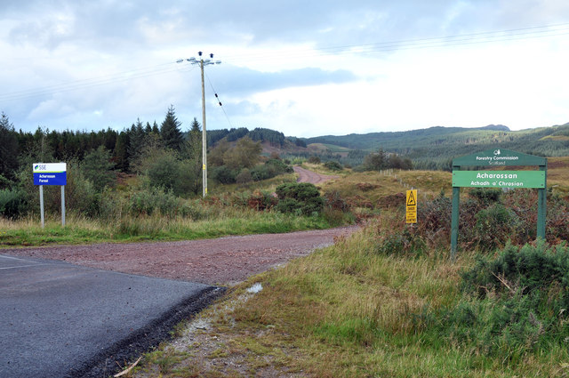
Creag an Fhithich Images
Images are sourced within 2km of 55.909334/-5.2754523 or Grid Reference NR9573. Thanks to Geograph Open Source API. All images are credited.


Creag an Fhithich is located at Grid Ref: NR9573 (Lat: 55.909334, Lng: -5.2754523)
Unitary Authority: Argyll and Bute
Police Authority: Argyll and West Dunbartonshire
What 3 Words
///cement.ticking.button. Near Tarbert, Argyll & Bute
Nearby Locations
Related Wikis

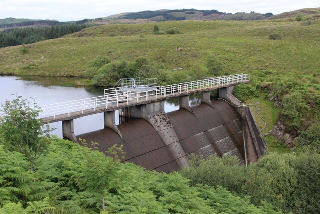
Craignafeich Reservoirs
The Craignafeich Reservoirs (also “Craignafeoch”) are a pair of lochs in Archarossan Forest, 3 kilometres west of Tighnabruaich. The main concrete dam...

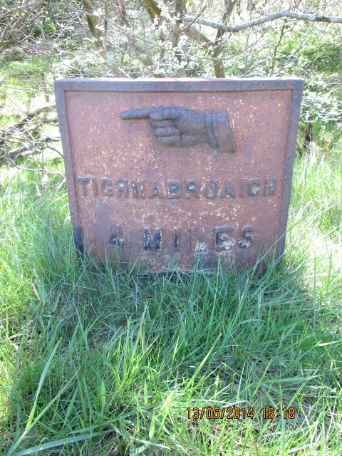
Tighnabruaich
Tighnabruaich; ( ; Scottish Gaelic: Taigh na Bruaich) is a village on the Cowal peninsula, on the western arm of the Kyles of Bute in Argyll and Bute,...

Tighnabruaich Lifeboat Station
Tighnabruaich Lifeboat Station is located in the Kyles of Bute. It was opened by the Royal National Lifeboat Institution (RNLI) in 1967. The station is...

Asgog Loch
Asgog Loch is a natural freshwater loch in Argyll and Bute, Scotland. It is located about 4 kilometres (2.5 mi) southwest of Tighnabruaich, on the Cowal...
Nearby Amenities
Located within 500m of 55.909334,-5.2754523Have you been to Creag an Fhithich?
Leave your review of Creag an Fhithich below (or comments, questions and feedback).