Loch Teth
Lake, Pool, Pond, Freshwater Marsh in Ross-shire
Scotland
Loch Teth
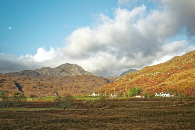
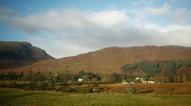
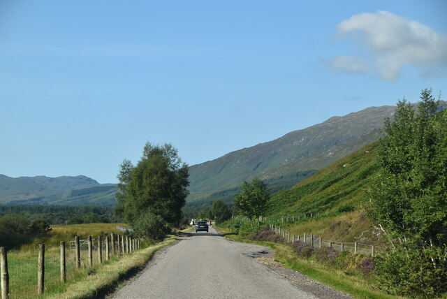
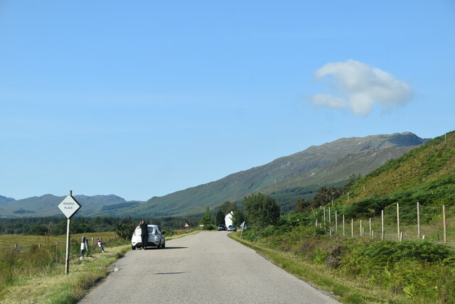
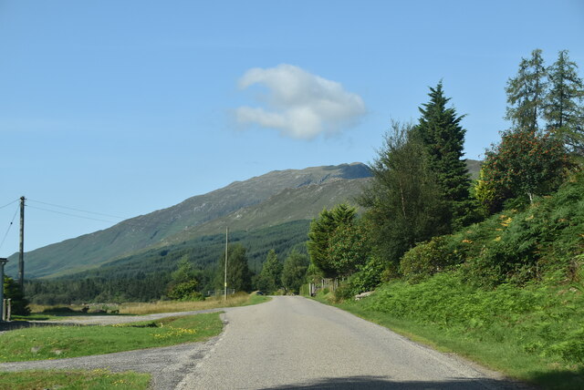
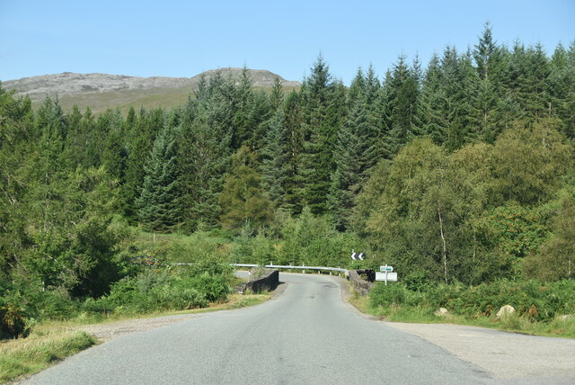
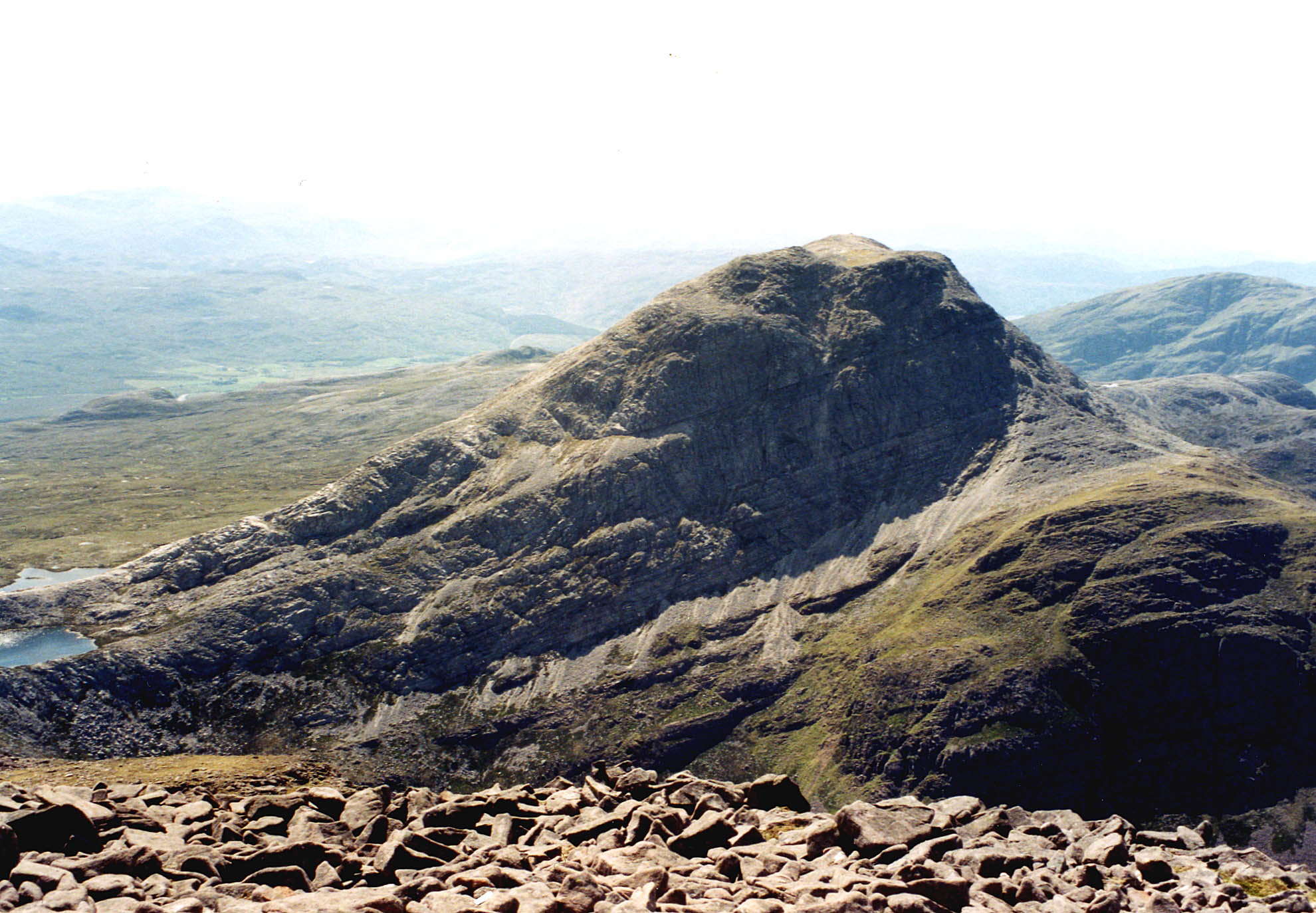
Loch Teth is a picturesque freshwater lake located in Ross-shire, Scotland. Situated amidst the stunning Scottish Highlands, this natural wonder is a popular destination for locals and tourists alike. With its tranquil surroundings and diverse ecosystem, Loch Teth offers a unique and enchanting experience for nature enthusiasts.
Spanning approximately 2 square kilometers, Loch Teth is characterized by its crystal-clear waters and lush vegetation. The lake is fed by several small streams and springs, ensuring a constant flow of freshwater. The shoreline is adorned with a variety of plant species, including reeds, rushes, and water lilies, creating a vibrant and thriving ecosystem.
The diverse wildlife found in and around Loch Teth is a major draw for visitors. The lake is home to various fish species, such as brown trout and pike, making it a popular spot for anglers. Birdwatchers are also in for a treat, as the lake attracts numerous species of birds, including herons, swans, and ducks. The surrounding marshland provides a habitat for a wide range of animal species, such as otters, voles, and amphibians.
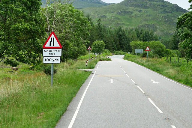
In addition to its natural beauty, Loch Teth also offers recreational activities for visitors. Fishing, boating, and kayaking are popular pastimes, allowing visitors to fully immerse themselves in the serene surroundings. The lake is also surrounded by walking trails, providing opportunities for hikers to explore the breathtaking scenery.
Overall, Loch Teth is a tranquil and captivating freshwater lake, offering a haven for wildlife and a sanctuary for nature lovers. Its idyllic location amidst the Scottish Highlands and its diverse ecosystem make it a must-visit destination for anyone seeking a serene and immersive experience in nature.
If you have any feedback on the listing, please let us know in the comments section below.
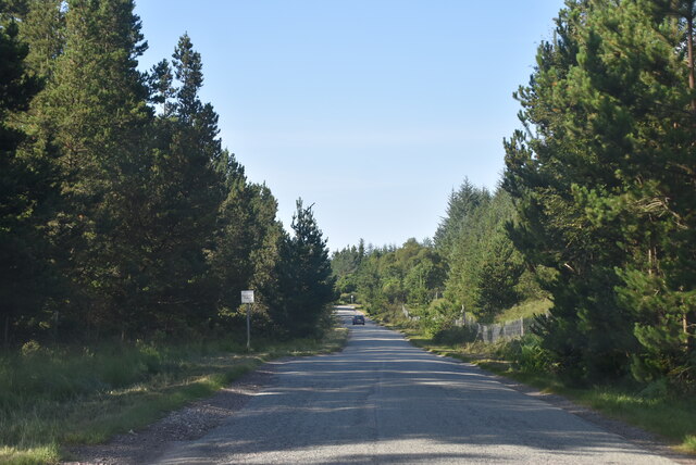
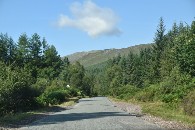
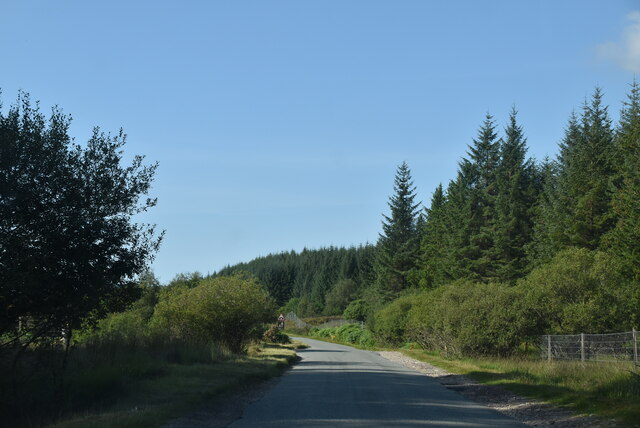
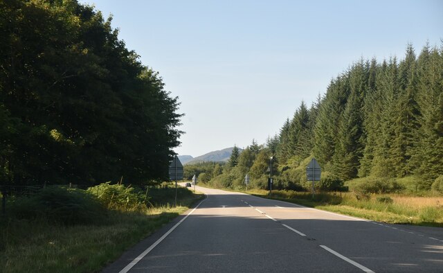
Loch Teth Images
Images are sourced within 2km of 57.438662/-5.4067161 or Grid Reference NG9543. Thanks to Geograph Open Source API. All images are credited.


Loch Teth is located at Grid Ref: NG9543 (Lat: 57.438662, Lng: -5.4067161)
Unitary Authority: Highland
Police Authority: Highlands and Islands
What 3 Words
///organ.perfumes.corrode. Near Lochcarron, Highland
Nearby Locations
Related Wikis

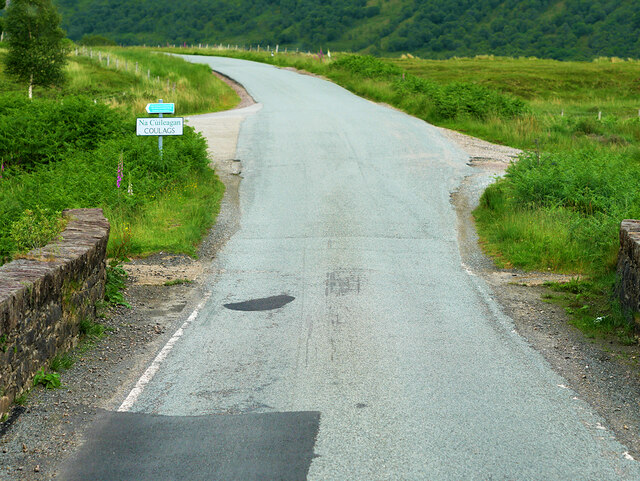
Coulags
Coulags (Scottish Gaelic: Na Cùileagan) is a small hamlet in Glen Carron in Strathcarron, west Ross-shire, Scottish Highlands and is in the Scottish...

Strathcarron, Highland
Strathcarron (Scottish Gaelic: Srath Carrann) is a hamlet, in the Highland council area of Scotland. == Geography == It is situated at the head of the...

River Carron, Wester Ross
River Carron (Scottish Gaelic: Carrann, pronounced [ˈkʰaᵲən̴̪]) is a west coast river in Wester Ross, in the Highlands of Scotland. The river rises in...

Strathcarron railway station
Strathcarron railway station is a remote railway station on the Kyle of Lochalsh Line, serving the small village of Strathcarron and the larger village...

Balnacra
Balnacra (Scottish Gaelic: Beul-àtha na Crà) is a village in Strathcarron, Ross-Shire, Scotland, roughly seven miles from the village of Lochcarron. It...

Fuar Tholl
Fuar Tholl is a mountain in the highlands of Scotland. The mountain is situated in the Coulin deer forest 21 km SW of Achnasheen in the Wester Ross region...

Loch Dùghaill
Loch Dùghaill (also anglicised as Loch Doule or Loch Doughaill) is a freshwater tidal loch on the River Carron in Wester Ross, Scotland. The A890 road...
An Ruadh-stac
An Ruadh-stac is a Scottish mountain situated in the Wester Ross region of the Highland council area. It is located 26 km north east of Kyle of Lochalsh...
Nearby Amenities
Located within 500m of 57.438662,-5.4067161Have you been to Loch Teth?
Leave your review of Loch Teth below (or comments, questions and feedback).