Pairc na Froise
Wood, Forest in Ross-shire
Scotland
Pairc na Froise
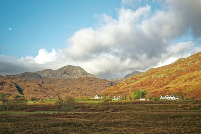
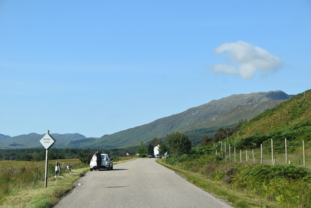
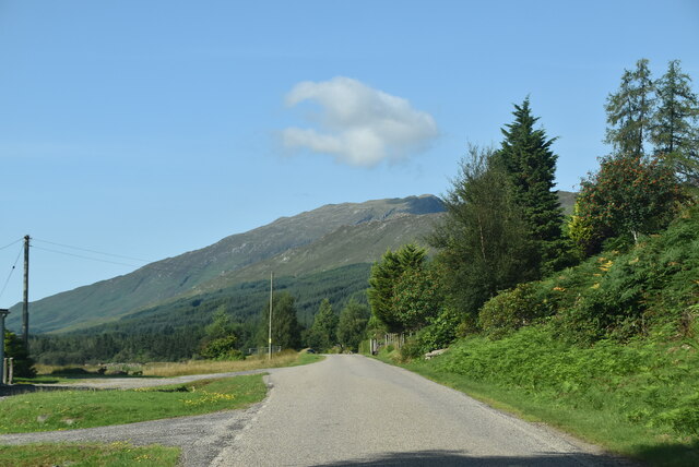
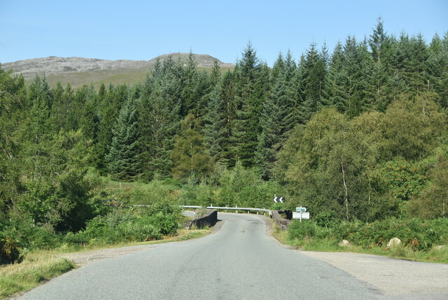
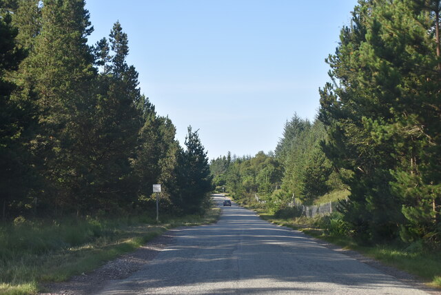
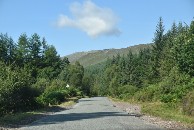
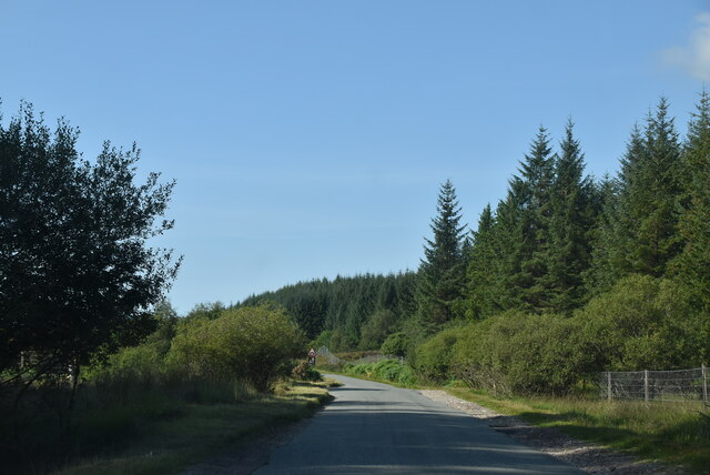
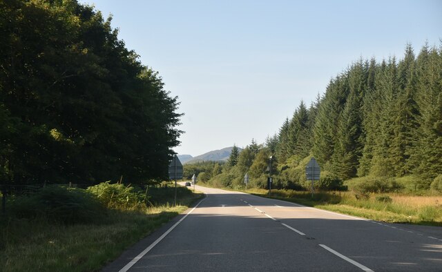
Pairc na Froise, located in Ross-shire, Scotland, is a picturesque wood or forest that offers visitors a serene and tranquil experience. Spanning over a vast area, this natural haven boasts an abundance of native flora and fauna, making it a haven for nature enthusiasts and avid birdwatchers.
The forest is home to a diverse range of tree species, including native Scots pine, birch, and oak, which create a captivating and vibrant landscape throughout the year. The woodland floor is adorned with an array of wildflowers and ferns, providing a colorful tapestry during the spring and summer months.
Pairc na Froise is renowned for its rich biodiversity and is an important habitat for several rare and protected species. Visitors may be lucky enough to spot red squirrels, badgers, and even majestic red deer roaming freely within the forest. Bird lovers can enjoy the sight of various species, such as the elusive capercaillie, golden eagle, and crossbill, among others.
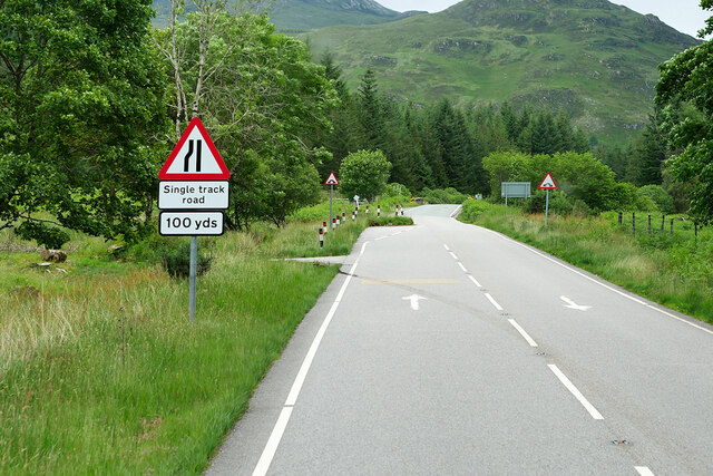
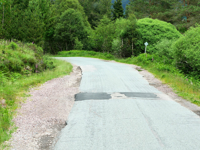
The wood offers a range of walking trails, allowing visitors to explore its beauty at their own pace. These trails guide visitors through enchanting woodland paths, over babbling brooks, and past peaceful lochs, providing a truly immersive experience in nature. Along the way, interpretive signs offer information about the local wildlife and the importance of conservation efforts.
Whether it be for a leisurely stroll, birdwatching, or simply seeking solace in nature, Pairc na Froise offers a captivating escape from the hustle and bustle of everyday life. Its natural beauty and serene atmosphere make it a must-visit destination for anyone seeking a genuine connection with the great outdoors.
If you have any feedback on the listing, please let us know in the comments section below.
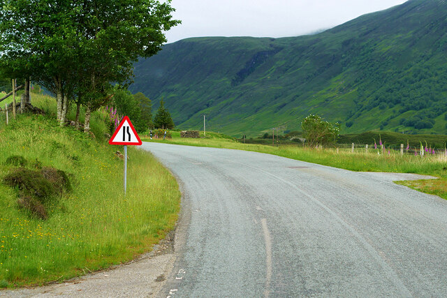
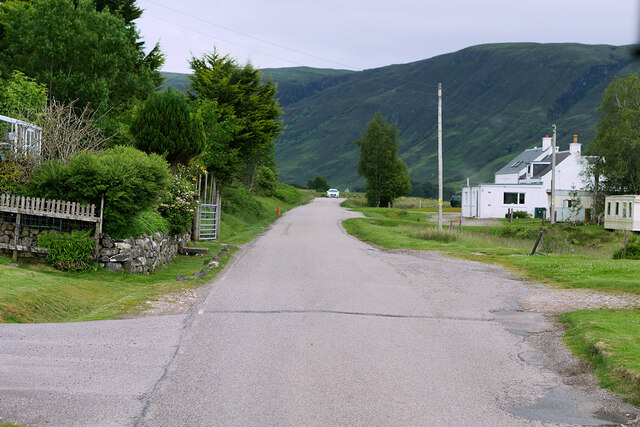
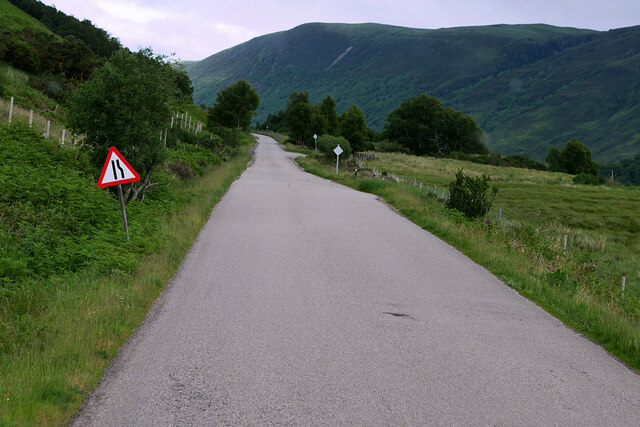
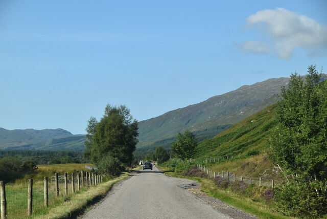
Pairc na Froise Images
Images are sourced within 2km of 57.444151/-5.4138292 or Grid Reference NG9544. Thanks to Geograph Open Source API. All images are credited.


Pairc na Froise is located at Grid Ref: NG9544 (Lat: 57.444151, Lng: -5.4138292)
Unitary Authority: Highland
Police Authority: Highlands and Islands
What 3 Words
///hobble.reserved.accompany. Near Lochcarron, Highland
Nearby Locations
Related Wikis

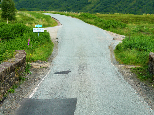
Coulags
Coulags (Scottish Gaelic: Na Cùileagan) is a small hamlet in Glen Carron in Strathcarron, west Ross-shire, Scottish Highlands and is in the Scottish...

River Carron, Wester Ross
River Carron (Scottish Gaelic: Carrann, pronounced [ˈkʰaᵲən̴̪]) is a west coast river in Wester Ross, in the Highlands of Scotland. The river rises in...

Strathcarron, Highland
Strathcarron (Scottish Gaelic: Srath Carrann) is a hamlet, in the Highland council area of Scotland. == Geography == It is situated at the head of the...

Strathcarron railway station
Strathcarron railway station is a remote railway station on the Kyle of Lochalsh Line, serving the small village of Strathcarron and the larger village...
Nearby Amenities
Located within 500m of 57.444151,-5.4138292Have you been to Pairc na Froise?
Leave your review of Pairc na Froise below (or comments, questions and feedback).