Auchadalvorie Muir
Wood, Forest in Argyllshire
Scotland
Auchadalvorie Muir
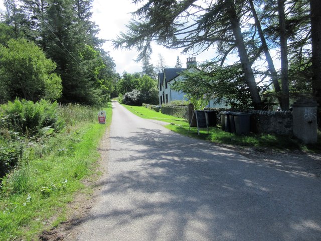
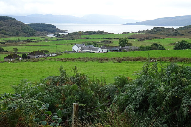
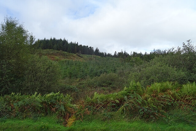
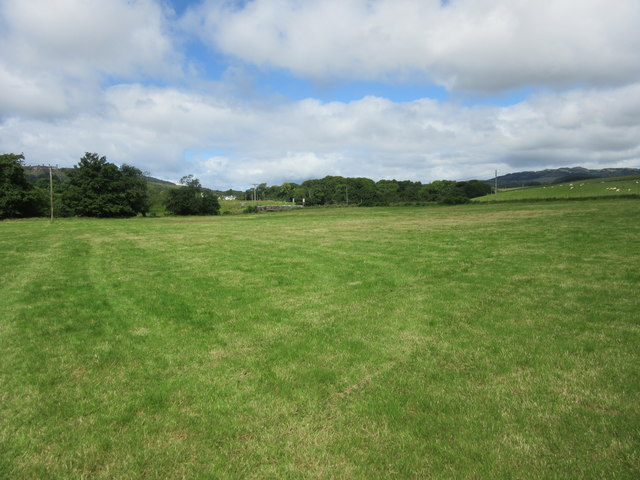
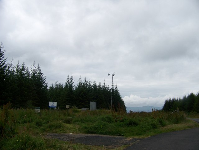
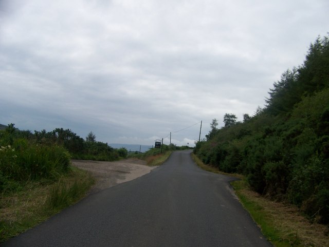
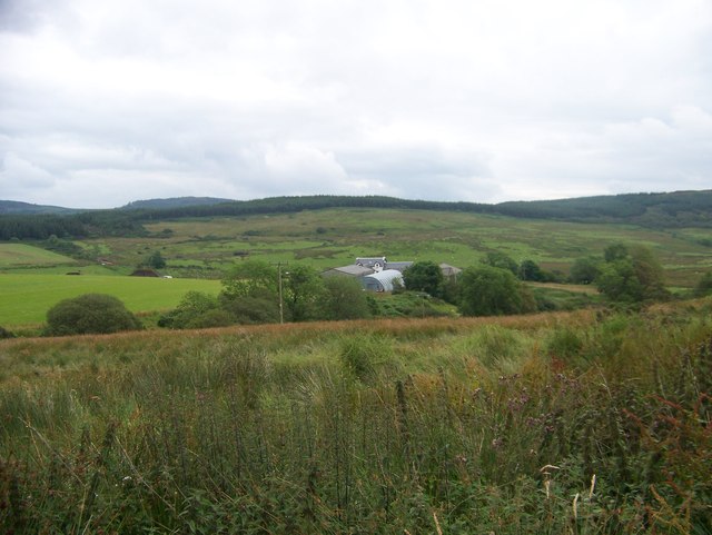
Auchadalvorie Muir is a picturesque woodland area located in Argyllshire, Scotland. Stretching across a vast expanse, it is known for its lush greenery and serene atmosphere. The Muir, which means wood or forest in Scottish Gaelic, is a popular destination for nature enthusiasts and outdoor lovers.
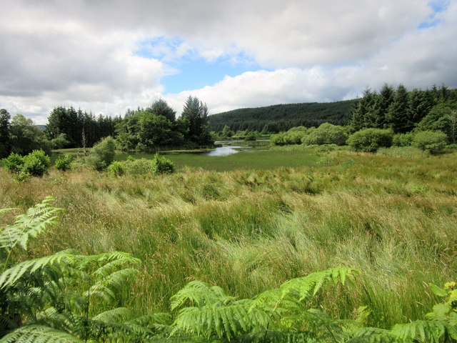
The woodland is characterized by a variety of tree species, including oak, birch, and pine, which form a dense canopy overhead. The forest floor is adorned with a carpet of moss, ferns, and wildflowers, creating a vibrant and enchanting landscape. The diverse flora provides a habitat for various wildlife species, such as red deer, roe deer, and a multitude of bird species, making Auchadalvorie Muir a haven for nature photographers and birdwatchers.
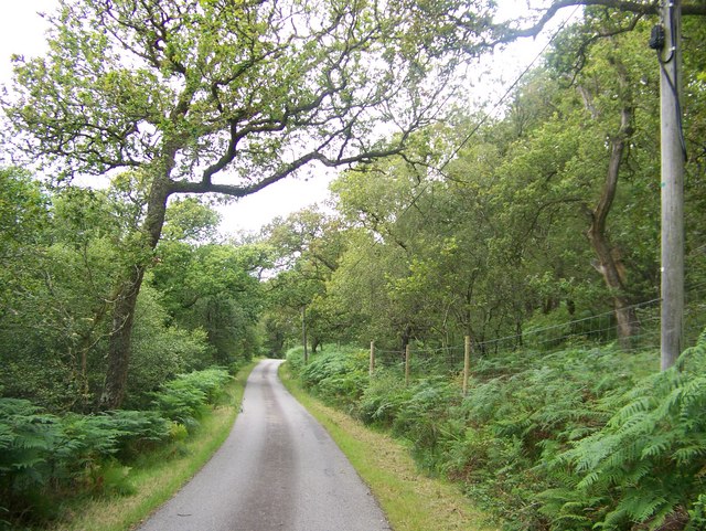
Tranquil walking trails wind through the forest, offering visitors the opportunity to immerse themselves in its natural beauty. These paths are well-maintained and easily accessible, catering to both novice hikers and experienced trekkers. As visitors explore the Muir, they may chance upon hidden streams and small waterfalls, adding to the tranquility of the surroundings.
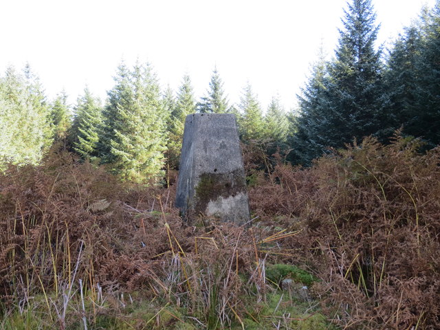
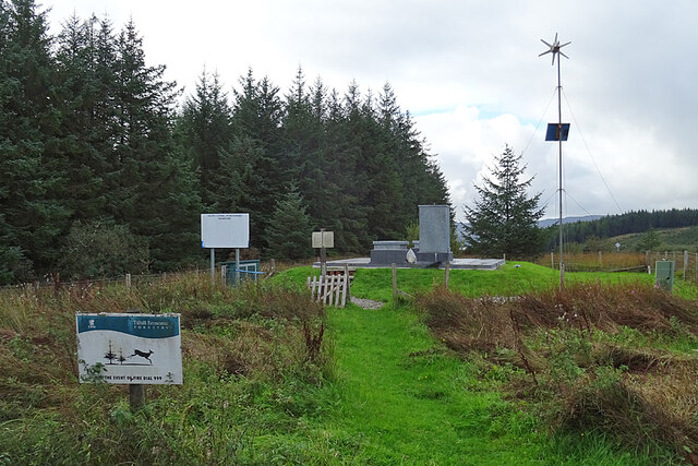
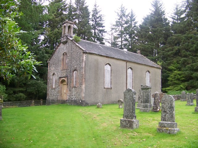
Auchadalvorie Muir is also steeped in history, with ancient ruins and archaeological sites scattered throughout the woodland. These remnants provide glimpses into the past, allowing visitors to connect with the rich cultural heritage of the area.
Overall, Auchadalvorie Muir in Argyllshire is a captivating destination for those seeking solace in nature. Its pristine woodlands, diverse wildlife, and historical significance make it a must-visit location for anyone interested in the natural beauty and cultural history of Scotland.
If you have any feedback on the listing, please let us know in the comments section below.
Auchadalvorie Muir Images
Images are sourced within 2km of 55.873829/-5.2734831 or Grid Reference NR9569. Thanks to Geograph Open Source API. All images are credited.

Auchadalvorie Muir is located at Grid Ref: NR9569 (Lat: 55.873829, Lng: -5.2734831)
Unitary Authority: Argyll and Bute
Police Authority: Argyll and West Dunbartonshire
What 3 Words
///delay.simulations.diamond. Near Tarbert, Argyll & Bute
Nearby Locations
Related Wikis

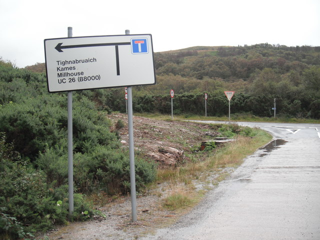
Millhouse, Argyll
Millhouse is a village in the parish of Kilfinan. Located on the B8000 inland from Kames in the east and Portavadie in the west, on the Cowal peninsula...

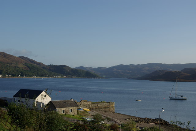
Asgog Loch
Asgog Loch is a natural freshwater loch in Argyll and Bute, Scotland. It is located about 4 kilometres (2.5 mi) southwest of Tighnabruaich, on the Cowal...

Polphail
Polphail was a ghost village in Scotland. It was demolished in 2016. == Location == Polphail was located at Portavadie on the west coast of the Cowal Peninsula...

Portavadie
Portavadie (Scottish Gaelic: Port a' Mhadaidh) is a village on the shores of Loch Fyne in Argyll and Bute, Scotland.The Portavadie complex was built in...
Kames, Argyll
Kames (Scottish Gaelic: Camas nam Muclach) is a small village on the Cowal peninsula in Argyll and Bute, Scotland, on the shore of the west arm of the...

Sgat Mòr and Sgat Beag
Sgat Mòr and Sgat Beag (Scottish Gaelic pronunciation: [s̪kat̪ moːrˠ ɪs̪ s̪kat̪ pɛk]; English: The Skate Islands or, less commonly, Skate Island and Wee...

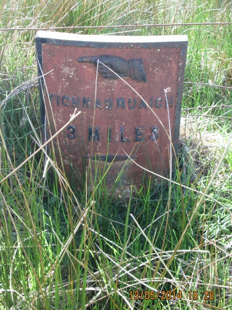
Tighnabruaich
Tighnabruaich; ( ; Scottish Gaelic: Taigh na Bruaich) is a village on the Cowal peninsula, on the western arm of the Kyles of Bute in Argyll and Bute,...

Tighnabruaich Lifeboat Station
Tighnabruaich Lifeboat Station is located in the Kyles of Bute. It has been in use for nearly 40 years. The inshore lifeboat carries out rescues mainly...
Related Videos

Portavadie Marina - Cowal, Argyll & Bute, Scotland
Set in a man-made lagoon on Loch Fyne, Argyll, Scotland, Portavadie is one of the UK's most modern marinas, with 230 sheltered ...

360 5k Portavadie Marina
took an early morning walk with the dogs while it was quiet and no one was around. some of the yatchs are more money than ive ...

2021 Portavadie Camping
Our first camping trip in our new Bell Tent staying at Portavadie Marina.
Nearby Amenities
Located within 500m of 55.873829,-5.2734831Have you been to Auchadalvorie Muir?
Leave your review of Auchadalvorie Muir below (or comments, questions and feedback).