Coed Cox

Wood, Forest in Monmouthshire

Wales

Coed Cox

Brown field near Llancayo, Monmouthshire Located between the B4598 and the River Usk, viewed in mid May 2017.
Brown field near Llancayo, Monmouthshire Credit: Jaggery

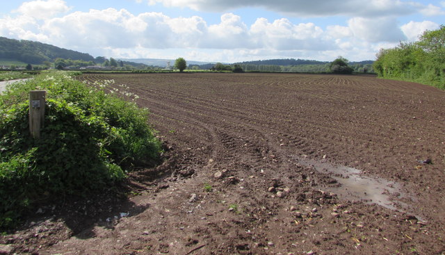
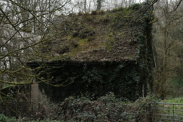
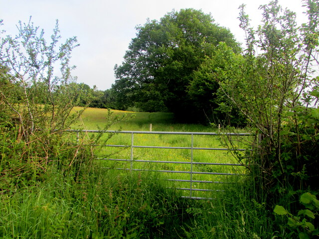
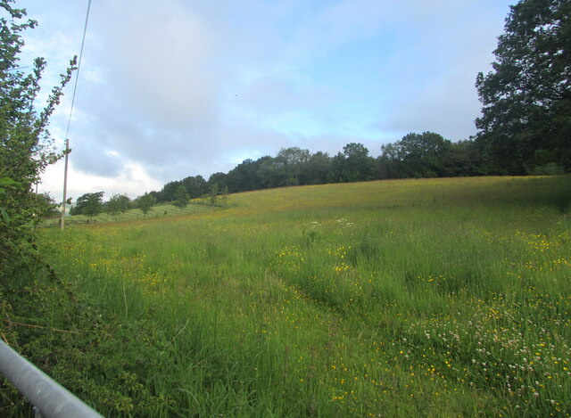
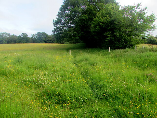
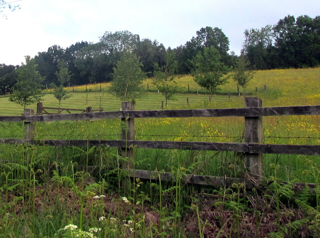
Coed Cox is a picturesque woodland located in Monmouthshire, Wales. Covering an area of approximately 200 acres, it is nestled amidst the stunning landscape of the Forest of Dean. The name "Coed Cox" translates to "Wood, Forest" in Welsh, perfectly reflecting the essence of this natural haven.

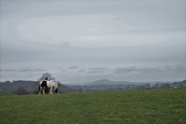
This woodland is renowned for its diverse ecosystem, boasting a rich variety of flora and fauna. The towering trees, predominantly oak and beech, create a dense canopy that provides shade and shelter for a myriad of wildlife species. Visitors can expect to encounter various bird species, including woodpeckers, owls, and numerous songbirds, as well as small mammals like badgers, foxes, and squirrels.

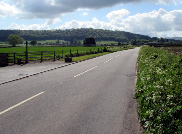
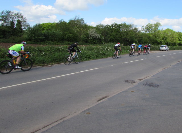
The woodland is crisscrossed by a network of well-maintained trails, making it a popular destination for nature enthusiasts and hikers. These trails offer opportunities for leisurely walks, jogging, and cycling, allowing visitors to fully immerse themselves in the tranquility of the surroundings.

Coed Cox is particularly stunning during the spring and summer months when the forest floor comes alive with a vibrant display of wildflowers, including bluebells, primroses, and foxgloves. The contrast of the colorful blooms against the lush greenery creates a mesmerizing spectacle.

The woodland is also home to a small, babbling brook that meanders through its heart. The soothing sound of running water adds to the overall serenity and charm of Coed Cox, making it an idyllic spot for picnics and relaxation.

Overall, Coed Cox in Monmouthshire is a haven for nature lovers, offering a tranquil escape from the hustle and bustle of everyday life. Its diverse ecosystem, stunning scenery, and well-maintained trails make it a must-visit destination for those seeking a connection with nature.

If you have any feedback on the listing, please let us know in the comments section below.
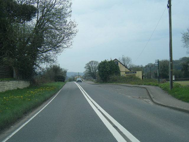
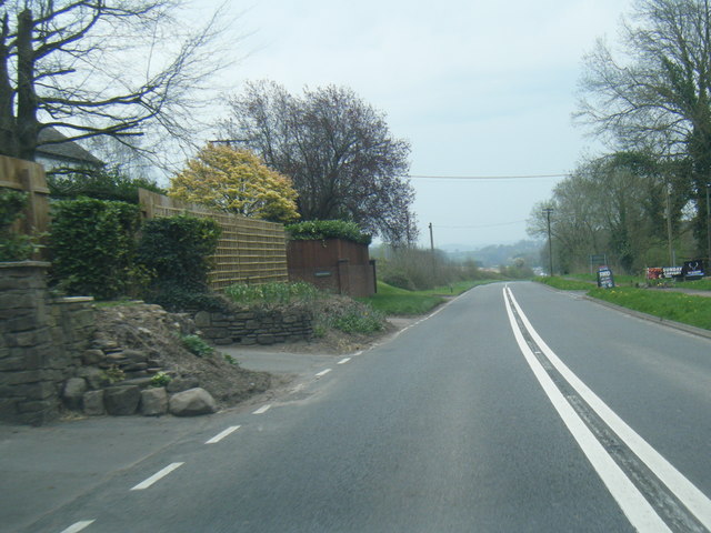
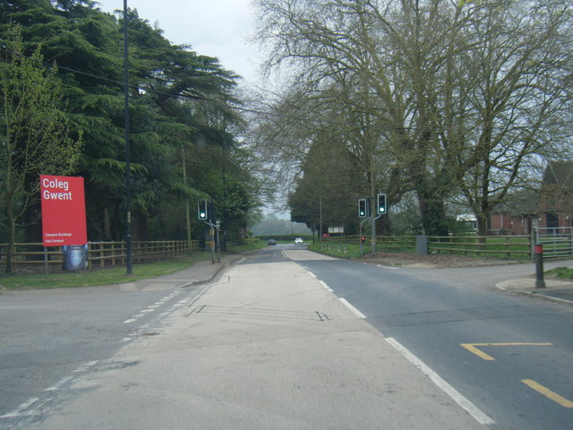
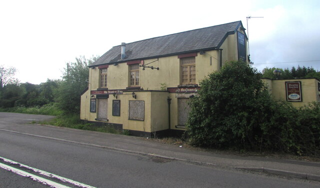
Coed Cox Images

Images are sourced within 2km of 51.715876/-2.9448525 or Grid Reference SO3402. Thanks to Geograph Open Source API. All images are credited.

Brown field near Llancayo, Monmouthshire Located between the B4598 and the River Usk, viewed in mid May 2017.
Brown field near Llancayo, Monmouthshire
Located between the B4598 and the River Usk, viewed in mid May 2017.
Road towards Llancayo and Usk, Monmouthshire Looking to the southeast along the B4598.
Road towards Llancayo and Usk, Monmouthshire
Looking to the southeast along the B4598.
Sunday cyclists on the B4598 in rural Monmouthshire Heading towards Kemeys Commander are a few of many cyclists on the roads 
in this rural area between Usk and Abergavenny on a dry, bright Sunday in May 2017.
Sunday cyclists on the B4598 in rural Monmouthshire
Heading towards Kemeys Commander are a few of many cyclists on the roads in this rural area between Usk and Abergavenny on a dry, bright Sunday in May 2017.
A472 at Monkswood village boundary
A472 at The Beaufort Arms
A472 east of Monkswood
A472 at Coleg Gwent campus entrance
Pumping station on the banks of the Usk This is marked on the map as a pumping station (or more accurately, as "Ppg sta") but whether it's still in use as such, I don't know. It's acquired a lovely "green roof" over time!
Pumping station on the banks of the Usk
This is marked on the map as a pumping station (or more accurately, as "Ppg sta") but whether it's still in use as such, I don't know. It's acquired a lovely "green roof" over time!
Grazing horse On the route of the Usk Valley Walk. I think the hill in the background is The Skirrid, near Abergavenny.
Grazing horse
On the route of the Usk Valley Walk. I think the hill in the background is The Skirrid, near Abergavenny.
Derelict former pub, Monkswood, Monmouthshire Viewed across the A472 in June 2021. <a title="https://www.geograph.org.uk/photo/6859333" href="https://www.geograph.org.uk/photo/6859333">Link</a> to a closer view.
The decaying building use to be the Beaufort Arms pub seen here <a title="https://www.geograph.org.uk/photo/3196617" href="https://www.geograph.org.uk/photo/3196617">Link</a> in 2012.
Derelict former pub, Monkswood, Monmouthshire
Viewed across the A472 in June 2021. Link to a closer view. The decaying building use to be the Beaufort Arms pub seen here Link in 2012.
Former Beaufort Arms pub,  Monkswood, Monmouthshire Derelict building on the south side of the A472 viewed in June 2021.
Former Beaufort Arms pub, Monkswood, Monmouthshire
Derelict building on the south side of the A472 viewed in June 2021.
West along the A472, Monkswood, Monmouthshire Ahead for the village of Little Mill. Behind the camera for the town of Usk.
West along the A472, Monkswood, Monmouthshire
Ahead for the village of Little Mill. Behind the camera for the town of Usk.
Derelict former village pub, Monkswood, Monmouthshire Viewed across the A472 in June 2021. This derelict building used to be the Beaufort Arms pub seen here <a title="https://www.geograph.org.uk/photo/3196625" href="https://www.geograph.org.uk/photo/3196625">Link</a> in 2012.
Derelict former village pub, Monkswood, Monmouthshire
Viewed across the A472 in June 2021. This derelict building used to be the Beaufort Arms pub seen here Link in 2012.
Partly-overgrown field gate, Monkswood, Monmouthshire On the north side of the A472 viewed in June 2021.
Partly-overgrown field gate, Monkswood, Monmouthshire
On the north side of the A472 viewed in June 2021.
View from a field gate, Monkswood, Monmouthshire Looking to the NW from this <a title="https://www.geograph.org.uk/photo/6863966" href="https://www.geograph.org.uk/photo/6863966">Link</a> gate in June 2021.
View from a field gate, Monkswood, Monmouthshire
Looking to the NW from this Link gate in June 2021.
From field gate to field gate, Monkswood, Monmouthshire Looking to the NE from this <a title="https://www.geograph.org.uk/photo/6863966" href="https://www.geograph.org.uk/photo/6863966">Link</a> gate in June 2021.
From field gate to field gate, Monkswood, Monmouthshire
Looking to the NE from this Link gate in June 2021.
Track through a field, Monkswood, Monmouthshire Looking north from this <a title="https://www.geograph.org.uk/photo/6863966" href="https://www.geograph.org.uk/photo/6863966">Link</a> gate in June 2021.
Track through a field, Monkswood, Monmouthshire
Looking north from this Link gate in June 2021.
Trees beyond a wooden fence, Monkswood, Monmouthshire On the north side of the A472, the main road through Monkswood.
Trees beyond a wooden fence, Monkswood, Monmouthshire
On the north side of the A472, the main road through Monkswood.
Show me another place!

Coed Cox is located at Grid Ref: SO3402 (Lat: 51.715876, Lng: -2.9448525)

Unitary Authority: Monmouthshire

Police Authority: Gwent

What 3 Words

///treatable.racked.calm. Near Usk, Monmouthshire
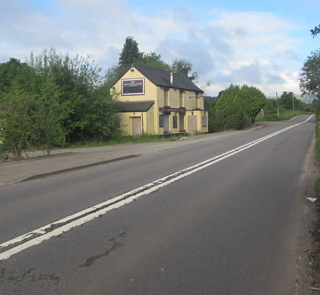
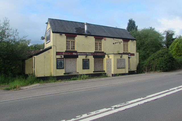
Related Wikis

Battle of Pwll Melyn

The Battle of Pwll Melyn (also known as the Battle of Usk) was a battle between the Welsh and English on 5 May 1405, it was part of the Glyndŵr Rising...

Monkswood, Monmouthshire

Monkswood (Welsh: Coed y Mynach) is a village in Monmouthshire, south east Wales, United Kingdom. == Location == Monkswood is located two miles west of...

ROF Glascoed

ROF Glascoed (today BAE Systems Munitions Glascoed) was built as a UK government-owned, Royal Ordnance Factory (ROF). It was designed as one of 20 munitions...

Glascoed Halt railway station

Glascoed Halt was a request stop on the former Coleford, Monmouth, Usk and Pontypool Railway. It was opened in 1927 to serve the village of Glascoed, Monmouthshire...

Nearby Amenities

Located within 500m of 51.715876,-2.9448525
Monkswood
Name Cy: Coed-y-mynach
Name En: Monkswood
Place: village
Wikidata: Q6900994
Lat/Long: 51.7184221/-2.9493052
Direction: 175
Generator Method: photovoltaic
Generator Output Electricity: yes
Generator Solar Modules: 10
Generator Source: solar
Generator Type: solar_photovoltaic_panel
Location: roof
Power: generator
Lat/Long: 51.7173587/-2.9501362
Direction: 175
Generator Method: photovoltaic
Generator Output Electricity: yes
Generator Solar Modules: 10
Generator Source: solar
Generator Type: solar_photovoltaic_panel
Location: roof
Power: generator
Lat/Long: 51.7173537/-2.9502006
Place Of Worship
St Matthew
Addr City: Monkswood
Addr Postcode: NP15 1QH
Denomination: protestant
Email: kevinhasler@cinw.org.uk
Phone: +44 7836 795 753
Religion: christian
Website: https://www.churchinwales.org.uk/en/structure/church/4967/
Wikidata: Q25999305
Lat/Long: 51.7193596/-2.9472159
The data included in this document is from www.openstreetmap.org. The data is made available under ODbL.

Have you been to Coed Cox?

Leave your review of Coed Cox below (or comments, questions and feedback).