Monkswood
Settlement in Monmouthshire
Wales
Monkswood
The requested URL returned error: 429 Too Many Requests
If you have any feedback on the listing, please let us know in the comments section below.
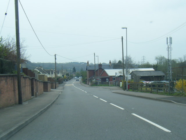
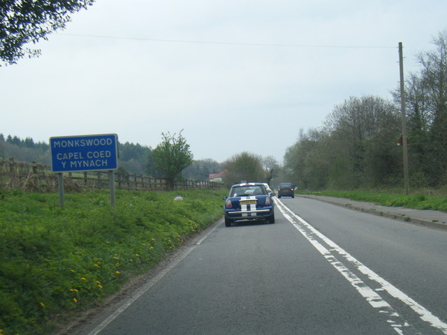
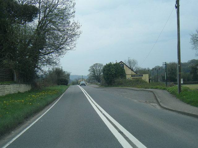
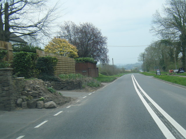
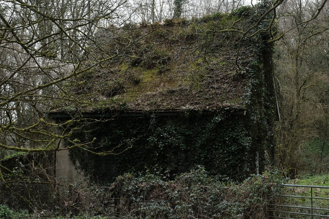
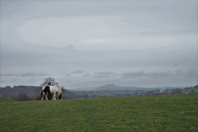
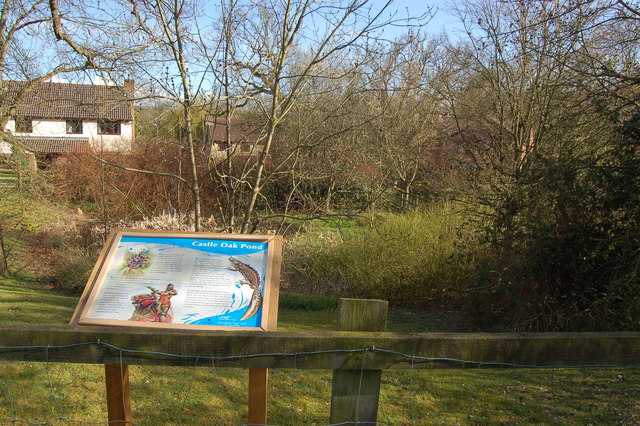
Monkswood Images
Images are sourced within 2km of 51.718382/-2.9552695 or Grid Reference SO3402. Thanks to Geograph Open Source API. All images are credited.


Monkswood is located at Grid Ref: SO3402 (Lat: 51.718382, Lng: -2.9552695)
Unitary Authority: Monmouthshire
Police Authority: Gwent
What 3 Words
///valuables.bongo.destined. Near Usk, Monmouthshire
Nearby Locations
Related Wikis

Monkswood, Monmouthshire
Monkswood (Welsh: Coed y Mynach) is a village in Monmouthshire, south east Wales, United Kingdom. == Location == Monkswood is located two miles west of...
Battle of Pwll Melyn
The Battle of Pwll Melyn (also known as the Battle of Usk) was a battle between the Welsh and English on 5 May 1405, it was part of the Glyndŵr Rising...
Glascoed Halt railway station
Glascoed Halt was a request stop on the former Coleford, Monmouth, Usk and Pontypool Railway. It was opened in 1927 to serve the village of Glascoed, Monmouthshire...
ROF Glascoed
ROF Glascoed (today BAE Systems Munitions Glascoed) was built as a UK government-owned, Royal Ordnance Factory (ROF). It was designed as one of 20 munitions...
Nearby Amenities
Located within 500m of 51.718382,-2.9552695Have you been to Monkswood?
Leave your review of Monkswood below (or comments, questions and feedback).