Pant-yr-ochain Wood
Wood, Forest in Denbighshire
Wales
Pant-yr-ochain Wood
Pant-yr-ochain Wood is a picturesque woodland located in Denbighshire, Wales. Covering an area of approximately 200 acres, this forest is a haven for nature enthusiasts and offers a tranquil escape from the hustle and bustle of everyday life.
The wood is characterized by its diverse range of native tree species, including oak, beech, and birch, which create a rich and vibrant canopy overhead. The forest floor is adorned with a carpet of bluebells and wildflowers during the spring, providing a stunning display of colors and scents.
There are several well-maintained walking trails that wind their way through the wood, allowing visitors to explore the natural beauty at their own pace. These trails offer breathtaking views of the surrounding countryside, with glimpses of rolling hills and meandering streams.
Pant-yr-ochain Wood is home to a variety of wildlife, making it a popular spot for birdwatching and nature photography. Visitors may catch a glimpse of rare species such as red kites and buzzards soaring above the treetops, or spot rabbits and squirrels scurrying along the forest floor.
The wood is open to the public year-round and is managed by local authorities to ensure its preservation. It is a popular destination for families, dog walkers, and outdoor enthusiasts, offering picnic areas and designated spaces for recreational activities.
Overall, Pant-yr-ochain Wood is a hidden gem in Denbighshire, providing a peaceful and enchanting setting for those seeking a connection with nature.
If you have any feedback on the listing, please let us know in the comments section below.
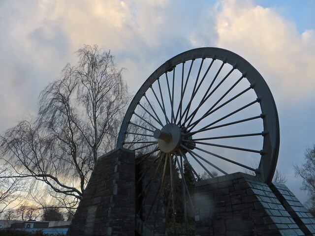
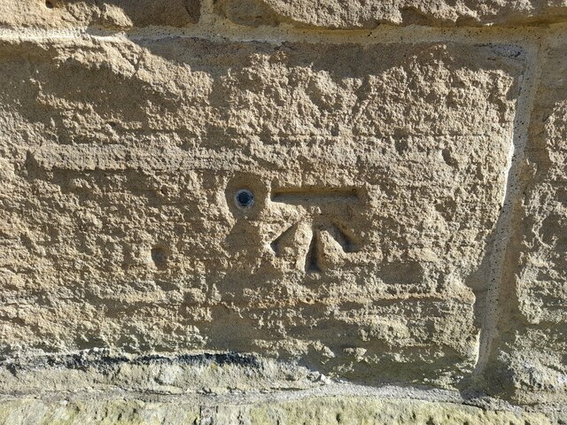
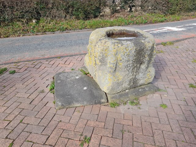
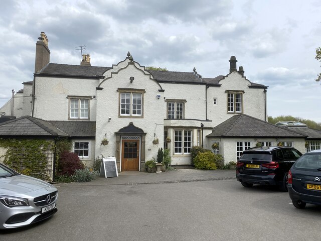
Pant-yr-ochain Wood Images
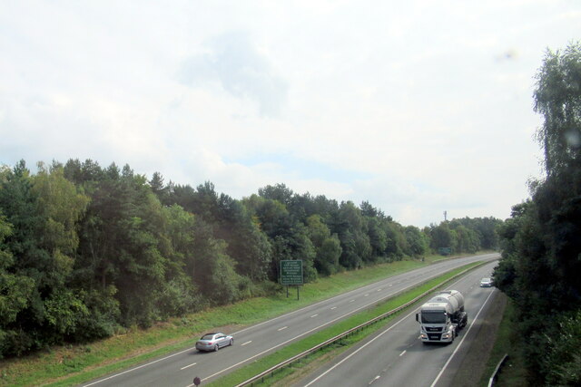
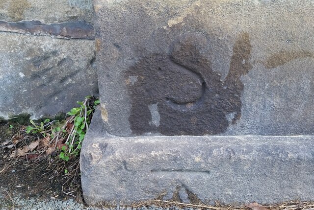
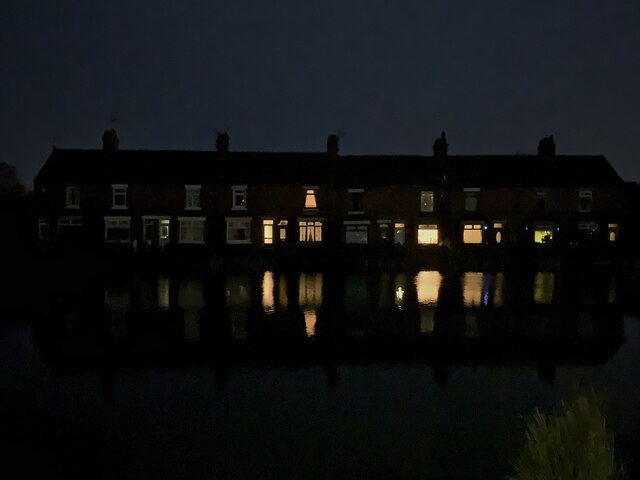
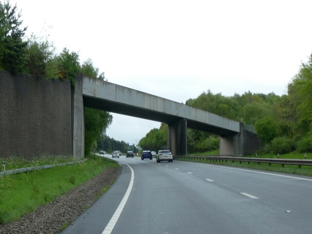
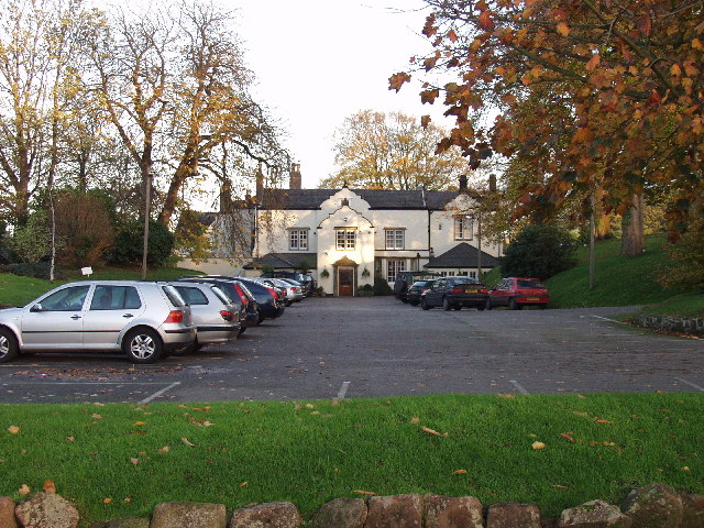
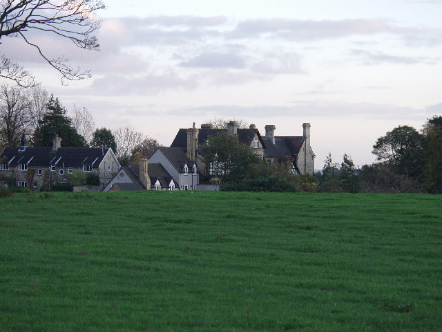
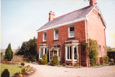
Images are sourced within 2km of 53.070475/-2.9741969 or Grid Reference SJ3453. Thanks to Geograph Open Source API. All images are credited.


Pant-yr-ochain Wood is located at Grid Ref: SJ3453 (Lat: 53.070475, Lng: -2.9741969)
Unitary Authority: Wrexham
Police Authority: North Wales
What 3 Words
///soil.learns.slap. Near Gresford, Wrexham
Nearby Locations
Related Wikis
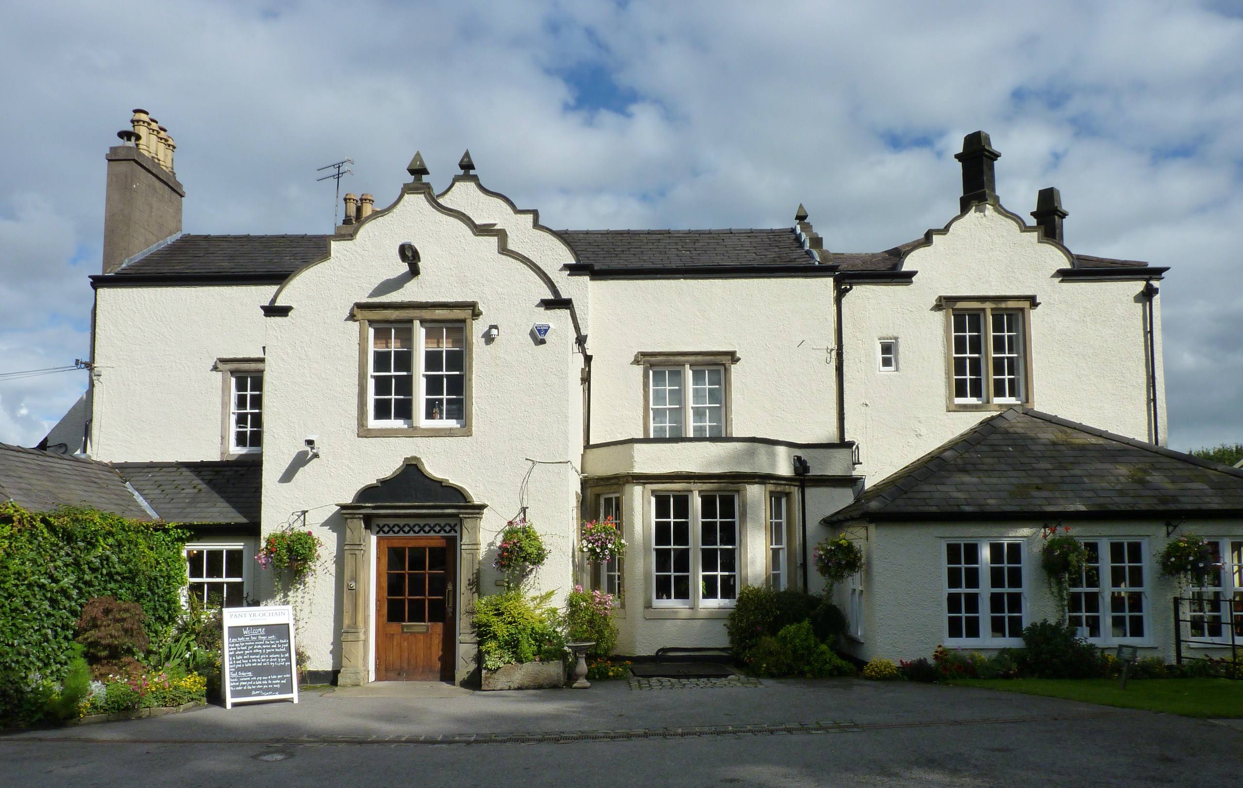
Pant-yr-Ochain
Pant-yr-Ochain is a historic country house and public house, near Gresford, Wrexham, in North Wales. The Grade II listed building is located in hilly terrain...
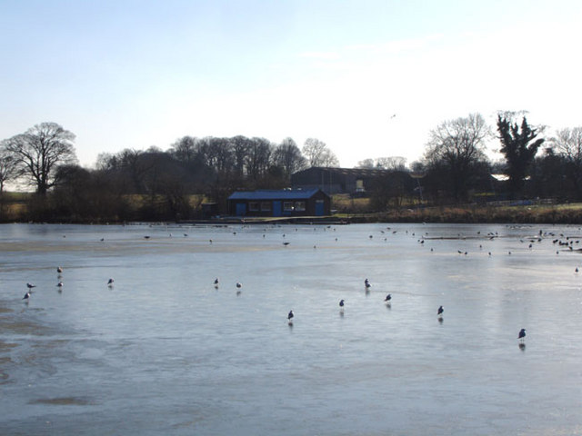
The Flash (lake)
The Flash (Welsh: Y Flash or historically Pwll Gwenllian) or Gresford Flash is a lake located near Borras and Gresford, in Wrexham County Borough, Wales...
Borras
Borras (; historically Welsh: Bwras) is a hamlet in Wrexham County Borough, Wales to the north-east of the city of Wrexham. It is part of the community...
Borras Park
Borras Park (Welsh: Parc Borras) is a suburb and electoral ward in the community of Acton, Wrexham, Wrexham County Borough, Wales. The name is derived...
Nearby Amenities
Located within 500m of 53.070475,-2.9741969Have you been to Pant-yr-ochain Wood?
Leave your review of Pant-yr-ochain Wood below (or comments, questions and feedback).