Hafod Wood
Wood, Forest in Denbighshire
Wales
Hafod Wood
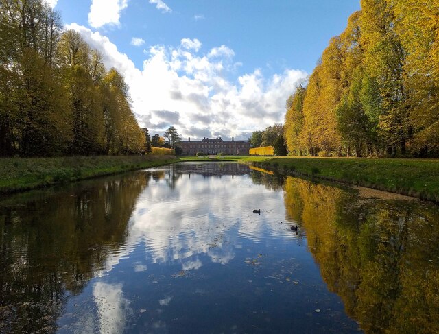
Hafod Wood is a picturesque forest located in Denbighshire, Wales. Covering an area of approximately 200 hectares, it is nestled within the Clwydian Range and Dee Valley Area of Outstanding Natural Beauty. The wood is situated near the village of Glyn Ceiriog, south of Llangollen, and offers a tranquil escape for nature lovers and outdoor enthusiasts.
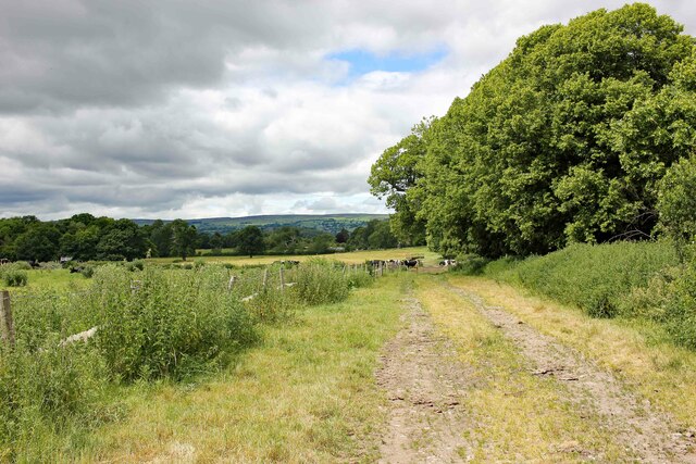
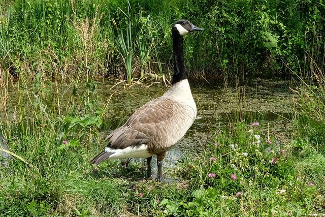
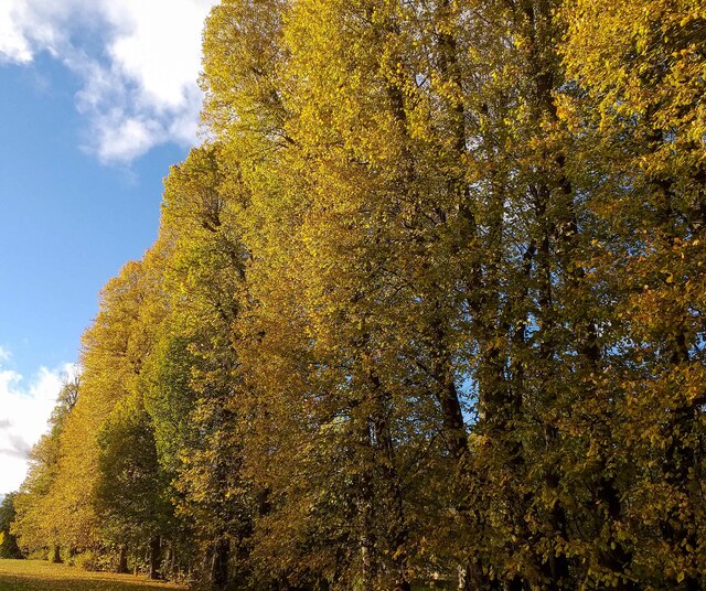
The forest is predominantly composed of native broadleaf trees, including oak, birch, and beech, which create a dense canopy overhead. This lush vegetation provides a habitat for a variety of wildlife, including red squirrels, woodpeckers, and various species of butterflies.
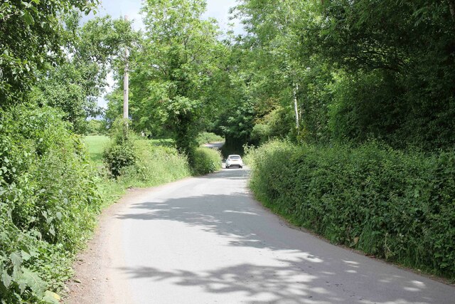
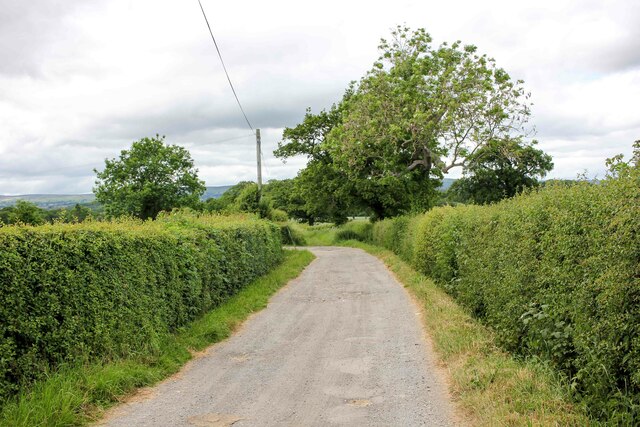
Visitors to Hafod Wood can explore the numerous footpaths that wind through the forest, leading to breathtaking viewpoints and hidden gems. The wood boasts several well-maintained trails, such as the Ceiriog Trail and the Penycloddiau Circular Walk, which offer stunning vistas of the surrounding countryside.
The wood also holds historical significance, as it is home to an ancient hillfort known as Penycloddiau. This Iron Age fort sits atop a hill and provides visitors with a glimpse into the area's rich past.
Hafod Wood offers a range of recreational activities, including walking, cycling, and birdwatching. It is a popular destination for families, dog walkers, and nature enthusiasts, providing a peaceful retreat away from the hustle and bustle of daily life. With its breathtaking natural beauty and historical significance, Hafod Wood is a must-visit destination for anyone seeking to immerse themselves in the tranquility of the Welsh countryside.
If you have any feedback on the listing, please let us know in the comments section below.
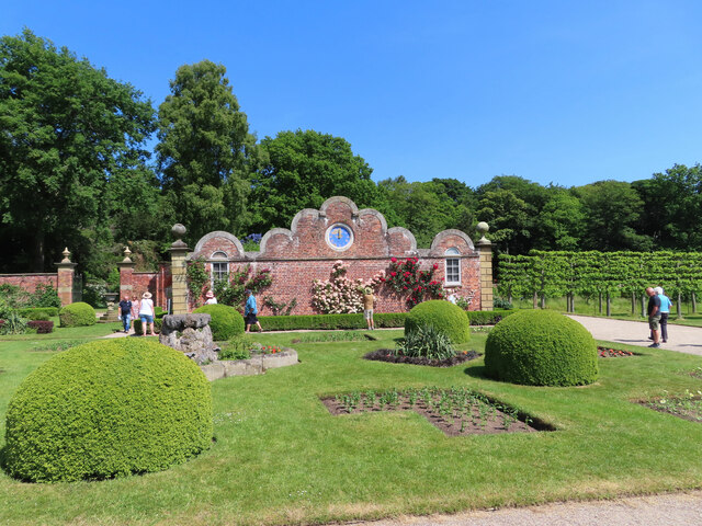
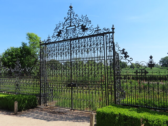
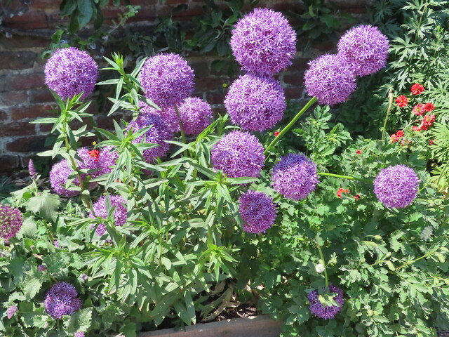
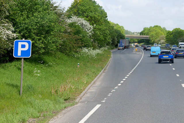
Hafod Wood Images
Images are sourced within 2km of 53.019073/-3.0129906 or Grid Reference SJ3247. Thanks to Geograph Open Source API. All images are credited.


Hafod Wood is located at Grid Ref: SJ3247 (Lat: 53.019073, Lng: -3.0129906)
Unitary Authority: Wrexham
Police Authority: North Wales
What 3 Words
///driving.distanced.removers. Near Rhosllanerchrugog, Wrexham
Nearby Locations
Related Wikis

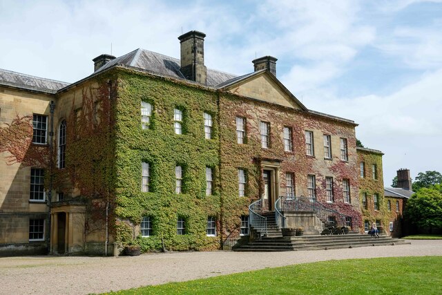
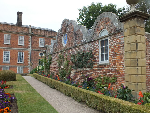
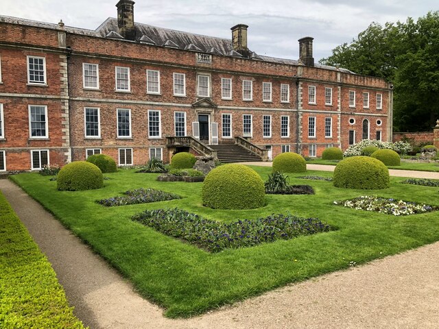
Erddig
Erddig Hall (Welsh: Neuadd Erddig; or simply Erddig; Welsh pronunciation: [ˈɛrðɪɡ]) is a Grade-I listed National Trust property near Wrexham, North Wales...
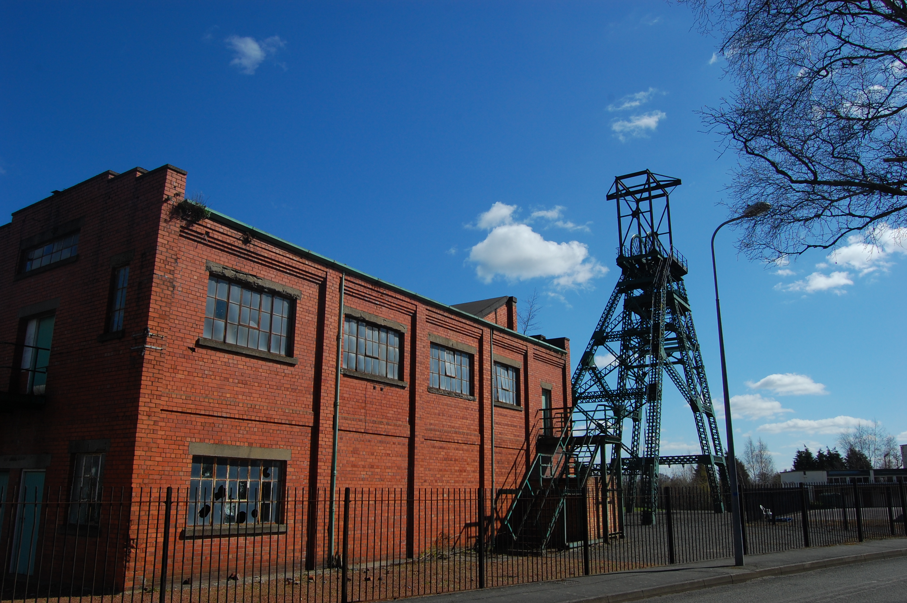
Bersham Colliery
Bersham Colliery was a large coal mine located near Rhostyllen in Wrexham County Borough, Wales. The mine accessed seams found in the Denbighshire Coalfield...

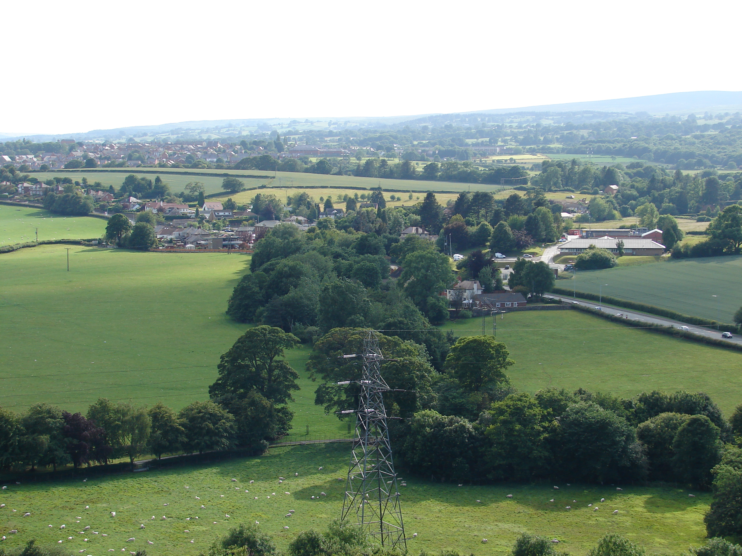
Bonc yr Hafod
Bonc yr Hafod (Welsh for 'Hafod Bank') is a country park, on the former site of Hafod Colliery, near Johnstown and Pentre Bychan in Wrexham County Borough...

Rhos railway station
Rhos railway station was a station in Rhosllannerchrugog, Wrexham, Wales on the Shrewsbury and Chester Railway. It was located in a remote spot almost...
Pentre Bychan
Pentre Bychan (lit. 'little village') is a semi-rural hamlet in Wrexham County Borough, Wales. Variously spelled as either one word or two (Pentre Bychan...
Rhostyllen
Rhostyllen () is a village in Wrexham County Borough, Wales, south-west of the city of Wrexham. At the time of the 2001 census, area Wrexham 014A, which...
Rhostyllen F.C.
Rhostyllen Football Club is a Welsh football club from Rhostyllen in Wrexham County Borough. The club was founded in 2015 and they currently play in the...
Rhostyllen railway station
Rhostyllen (pronounced [r̥ɔsˈtəɬən], Ross-tuth-l'n) was a minor railway station of the Great Western Railway, located on the Rhos Branch just off the Shrewsbury...
Nearby Amenities
Located within 500m of 53.019073,-3.0129906Have you been to Hafod Wood?
Leave your review of Hafod Wood below (or comments, questions and feedback).