Forest Wood
Wood, Forest in Denbighshire
Wales
Forest Wood
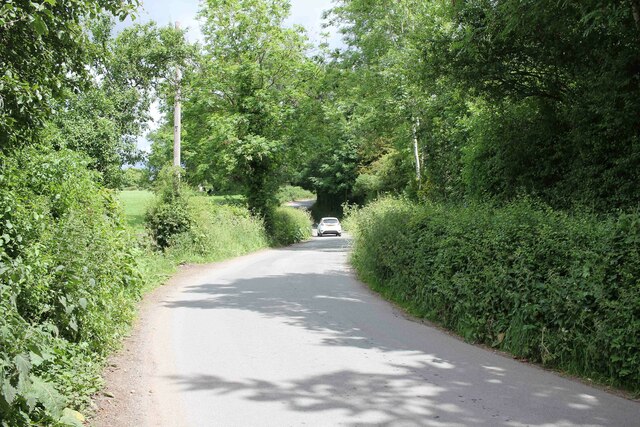
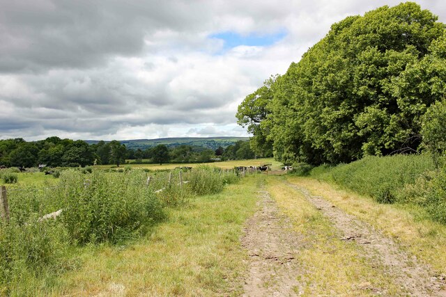
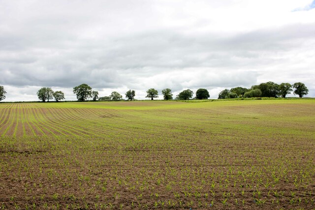
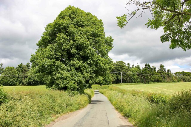
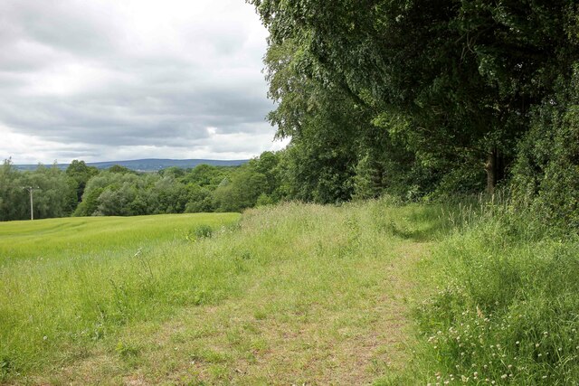
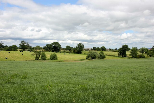
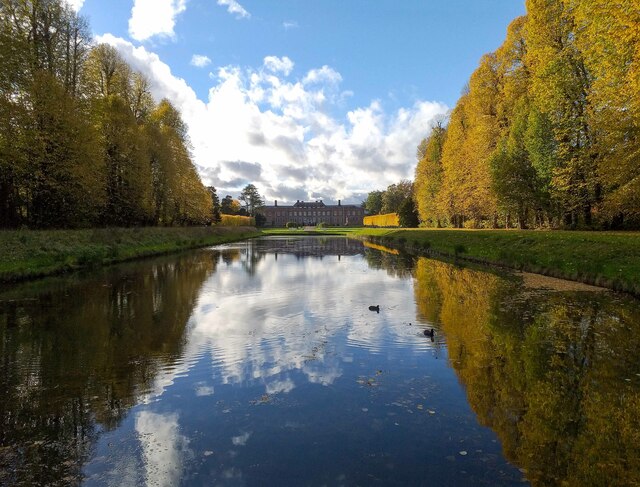
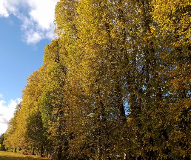
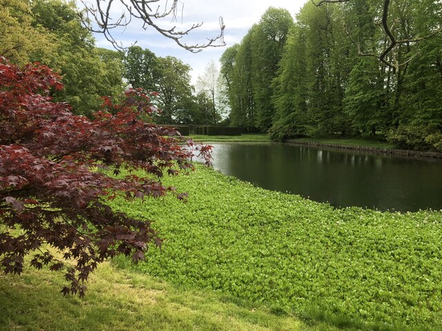
Forest Wood is a picturesque woodland located in Denbighshire, Wales. Covering an area of approximately 100 acres, it is nestled amidst the rolling hills and valleys of the county. The wood is predominantly composed of deciduous trees such as oak, beech, and ash, creating a rich and diverse ecosystem.
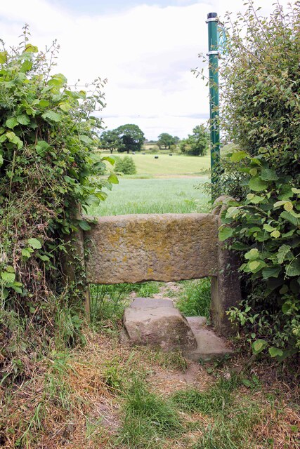
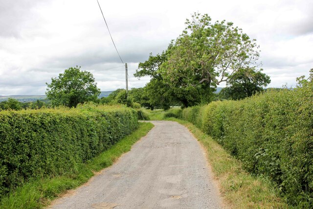
Known for its natural beauty, Forest Wood offers visitors a tranquil escape from the hustle and bustle of everyday life. The dense canopy of trees provides a cool and shaded environment, making it an ideal spot for nature enthusiasts and hikers. The wood is crisscrossed with a network of well-maintained walking paths, allowing visitors to explore its hidden corners and discover the abundant wildlife that calls it home.
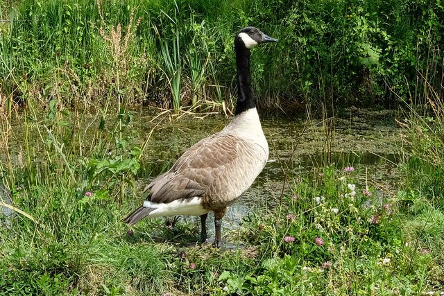
Birdwatchers will be delighted by the variety of avian species that can be spotted in Forest Wood. From the melodious songs of thrushes and blackbirds to the elusive sight of woodpeckers and owls, the wood is a haven for birdlife. In spring, the woodland floor is carpeted with a vibrant display of wildflowers, adding to the natural beauty of the surroundings.
Forest Wood is not only valued for its natural charm but also for its historical significance. The wood has been a part of the local landscape for centuries and is believed to have been used for timber production in the past. Today, it is managed by the local authorities to preserve its ecological integrity and ensure its accessibility to the public.
Overall, Forest Wood is a gem in Denbighshire, offering visitors a chance to immerse themselves in the beauty of nature while enjoying a peaceful and rejuvenating experience.
If you have any feedback on the listing, please let us know in the comments section below.
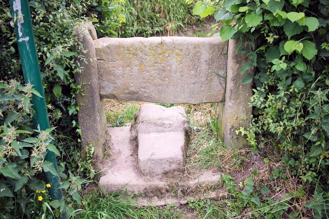
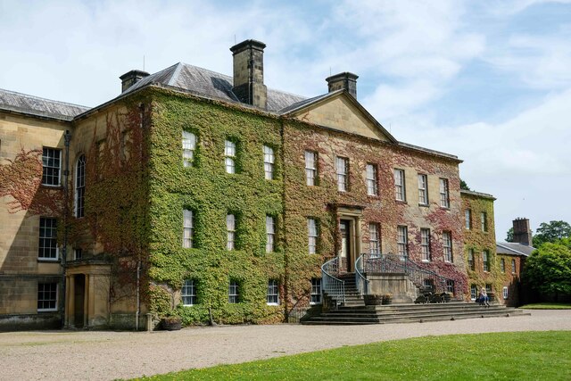
Forest Wood Images
Images are sourced within 2km of 53.023048/-3.0011715 or Grid Reference SJ3247. Thanks to Geograph Open Source API. All images are credited.
Forest Wood is located at Grid Ref: SJ3247 (Lat: 53.023048, Lng: -3.0011715)
Unitary Authority: Wrexham
Police Authority: North Wales
What 3 Words
///spelled.smallest.presumes. Near Marchwiel, Wrexham
Nearby Locations
Related Wikis

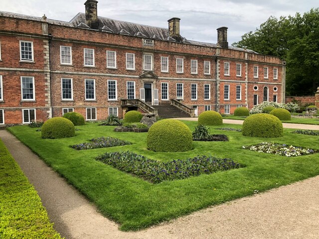
Erddig
Erddig Hall (Welsh: Neuadd Erddig; or simply Erddig; Welsh pronunciation: [ˈɛrðɪɡ]) is a Grade-I listed National Trust property near Wrexham, North Wales...

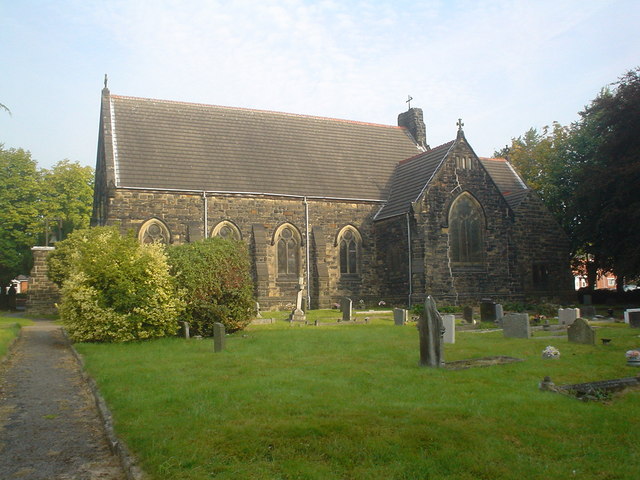
Marchwiel Hall
Marchwiel Hall is a Grade II listed building in the village of Marchwiel, Wrexham County Borough in North Wales. == History == Marchwiel Hall was a seat...
Rhostyllen
Rhostyllen () is a village in Wrexham County Borough, Wales, south-west of the city of Wrexham. At the time of the 2001 census, area Wrexham 014A, which...
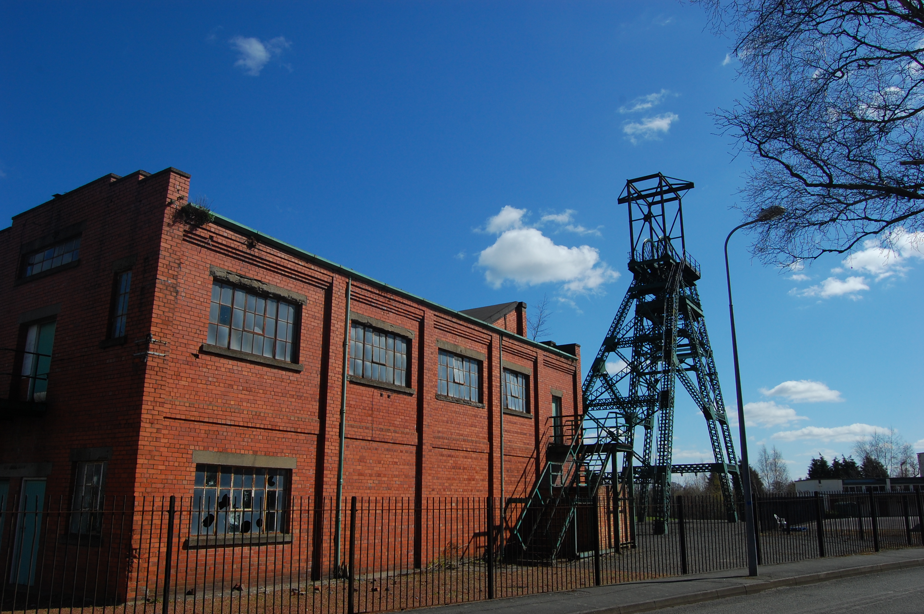
Bersham Colliery
Bersham Colliery was a large coal mine located near Rhostyllen in Wrexham County Borough, Wales. The mine accessed seams found in the Denbighshire Coalfield...
Nearby Amenities
Located within 500m of 53.023048,-3.0011715Have you been to Forest Wood?
Leave your review of Forest Wood below (or comments, questions and feedback).