Cistern Wood
Wood, Forest in Denbighshire
Wales
Cistern Wood
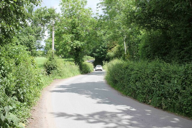
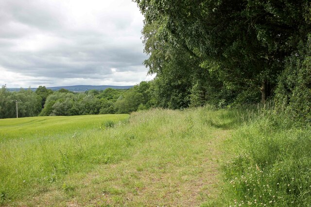
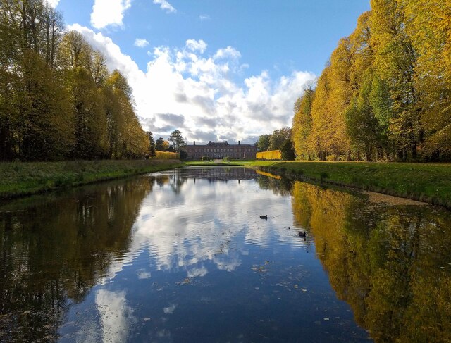
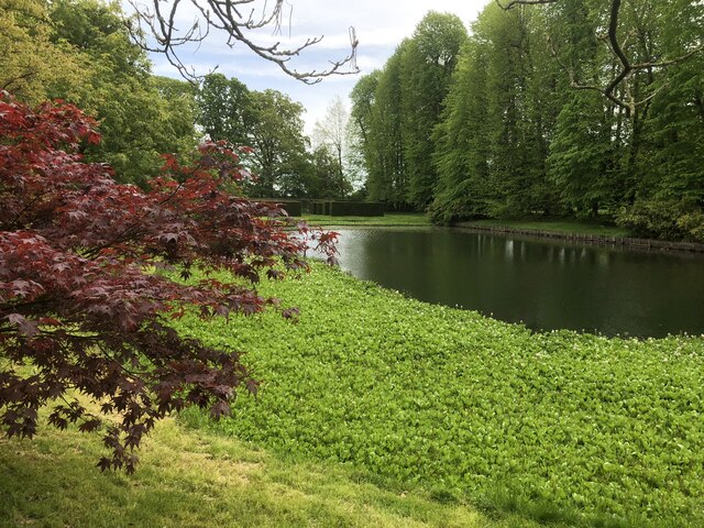
Cistern Wood is a picturesque forest located in Denbighshire, Wales. Covering an area of approximately 100 acres, this woodland is a popular destination for nature enthusiasts and outdoor adventurers alike.
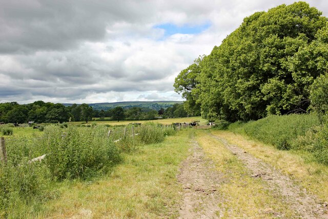
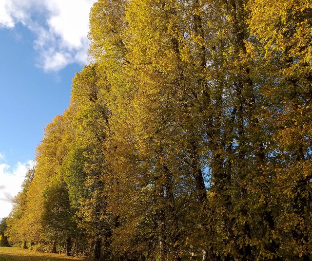
Situated near the village of Llanferres, Cistern Wood boasts a diverse range of flora and fauna, making it a haven for wildlife. The forest is predominantly composed of ancient oak trees, some of which are estimated to be over 500 years old. These majestic trees provide a dense canopy, creating a tranquil and shaded environment for visitors to explore.
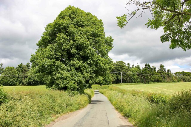
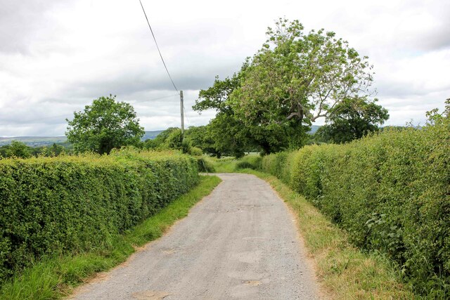
The woodland is crisscrossed by a network of well-maintained footpaths, allowing visitors to wander through the forest and admire its natural beauty. There are various trails of different lengths and difficulties, catering to both casual walkers and more experienced hikers. Along the way, visitors may come across enchanting streams and small cascades that add to the charm of the wood.
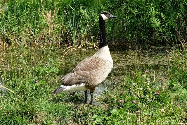
Cistern Wood is also home to a wide variety of wildlife. Birdwatchers can spot numerous species, including woodpeckers, nuthatches, and jays. The forest is also frequented by mammals such as foxes, badgers, and deer, providing ample opportunities for wildlife enthusiasts to observe and appreciate these creatures in their natural habitat.
Overall, Cistern Wood offers a serene and idyllic setting for nature lovers to immerse themselves in the beauty of the Welsh countryside. With its ancient trees, scenic trails, and abundant wildlife, this woodland is a must-visit destination for anyone seeking a peaceful escape in Denbighshire.
If you have any feedback on the listing, please let us know in the comments section below.
Cistern Wood Images
Images are sourced within 2km of 53.024888/-3.0068499 or Grid Reference SJ3247. Thanks to Geograph Open Source API. All images are credited.
Cistern Wood is located at Grid Ref: SJ3247 (Lat: 53.024888, Lng: -3.0068499)
Unitary Authority: Wrexham
Police Authority: North Wales
What 3 Words
///grazes.inversely.stun. Near Wrexham
Nearby Locations
Related Wikis

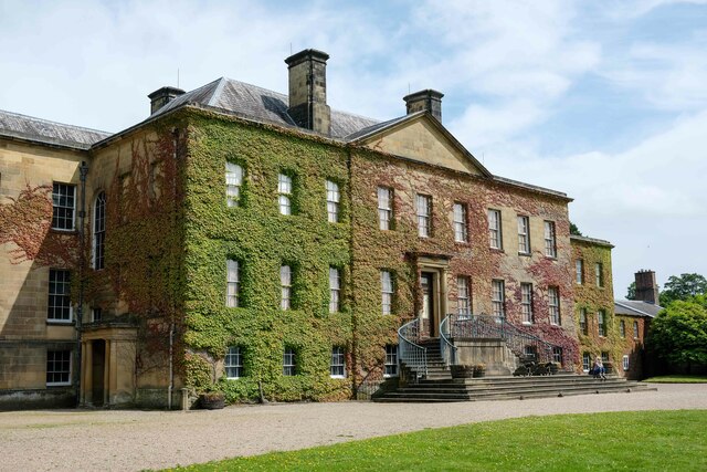
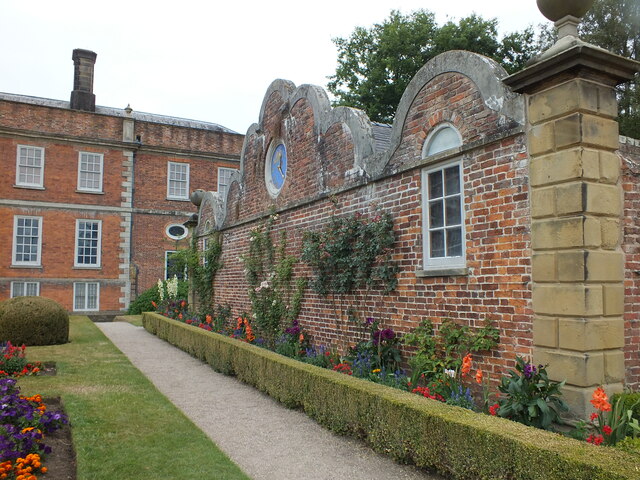
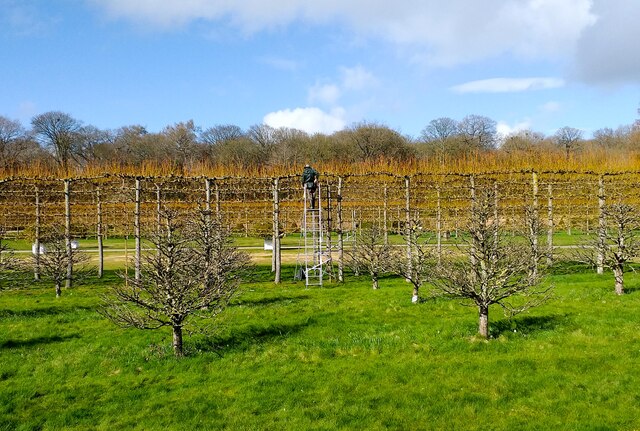
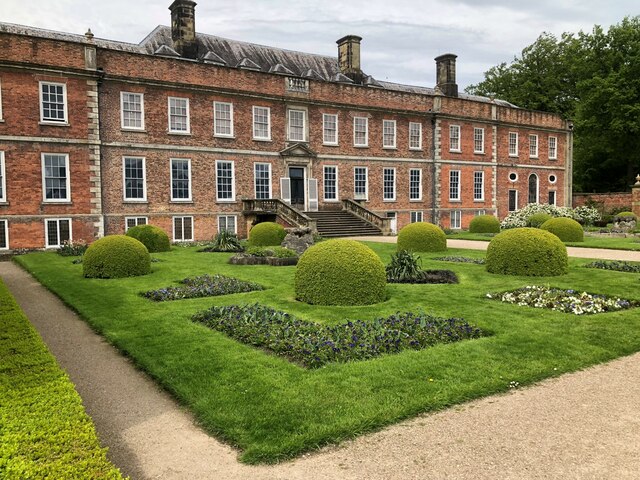
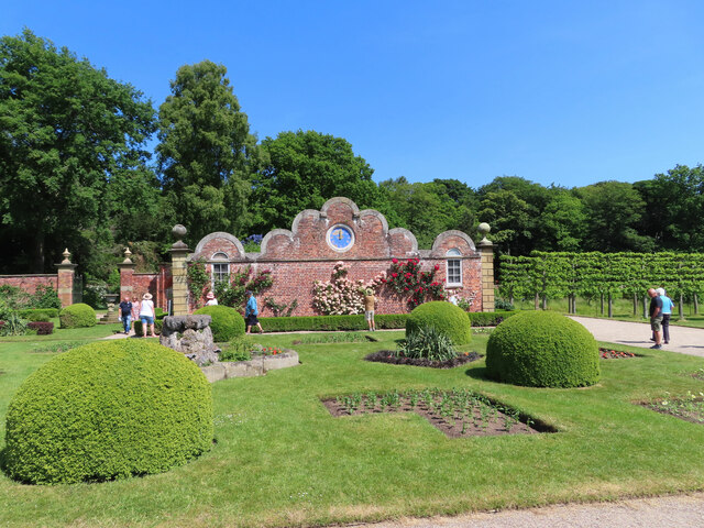
Erddig
Erddig Hall (Welsh: Neuadd Erddig; or simply Erddig; Welsh pronunciation: [ˈɛrðɪɡ]) is a Grade-I listed National Trust property near Wrexham, North Wales...
Rhostyllen
Rhostyllen () is a village in Wrexham County Borough, Wales, south-west of the city of Wrexham. At the time of the 2001 census, area Wrexham 014A, which...
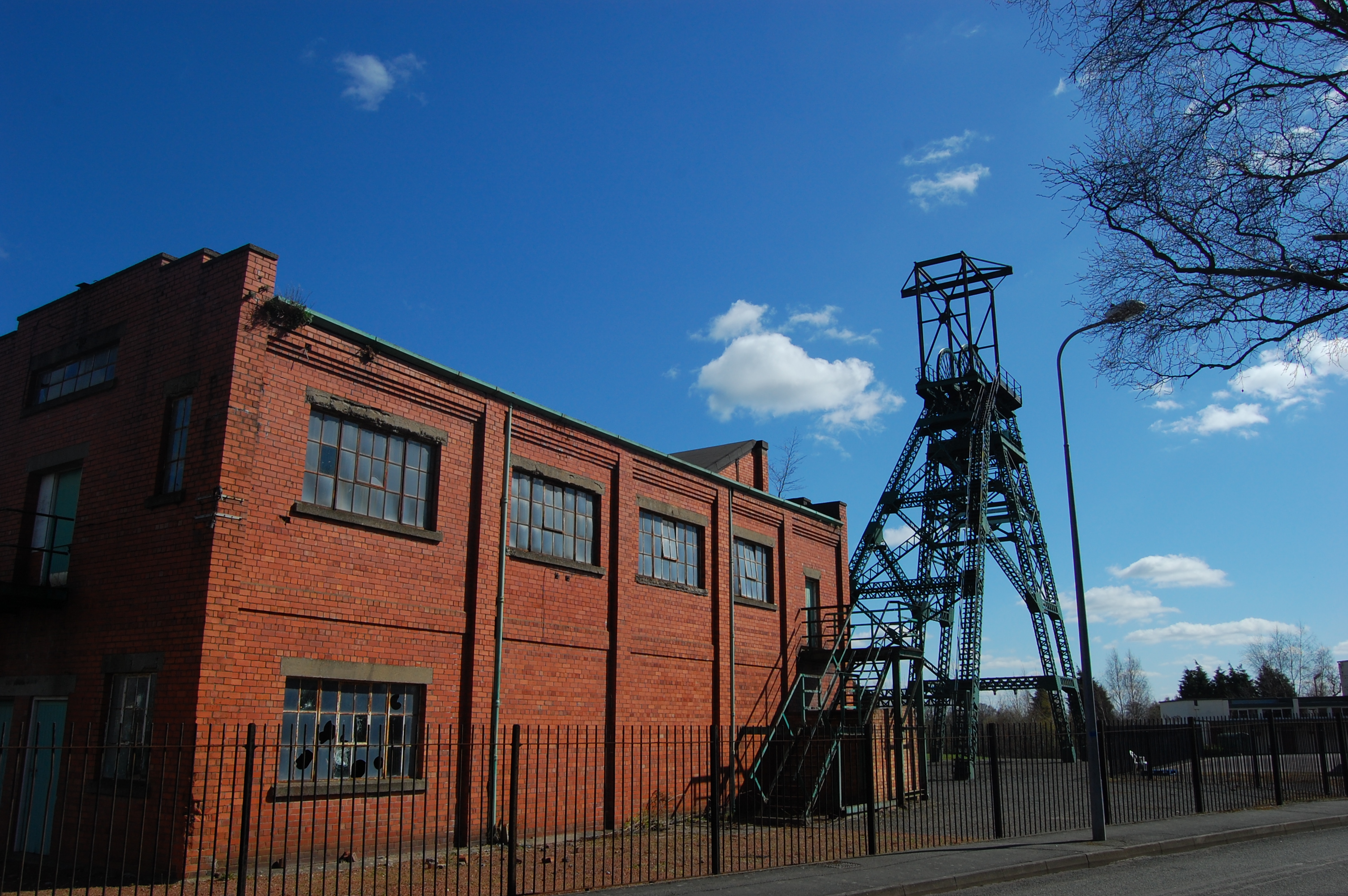
Bersham Colliery
Bersham Colliery was a large coal mine located near Rhostyllen in Wrexham County Borough, Wales. The mine accessed seams found in the Denbighshire Coalfield...

St Joseph's Catholic and Anglican High School
St Joseph's Catholic and Anglican High School (Welsh: Ysgol Uwchradd Gatholig ac Anglicanaidd Sant Joseff) is a secondary school in Wrexham, Wales, located...
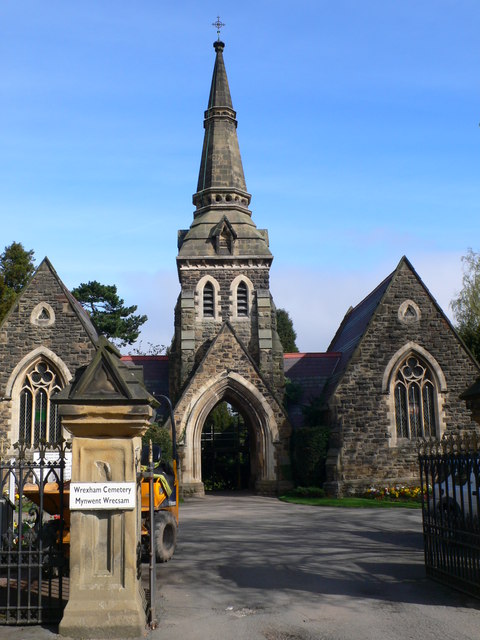
Wrexham Cemetery
Wrexham Cemetery (Welsh: Mynwent Wrecsam) is a Victorian garden cemetery in Wrexham, North Wales, which served as the main burial site for the city. It...
Rhostyllen railway station
Rhostyllen (pronounced [r̥ɔsˈtəɬən], Ross-tuth-l'n) was a minor railway station of the Great Western Railway, located on the Rhos Branch just off the Shrewsbury...

Offa, Wrexham
Offa is a community and electoral ward in Wrexham County Borough, Wales, covering most of the south-western portion of the city of Wrexham. It is bordered...
Rhostyllen F.C.
Rhostyllen Football Club is a Welsh football club from Rhostyllen in Wrexham County Borough. The club was founded in 2015 and they currently play in the...
Nearby Amenities
Located within 500m of 53.024888,-3.0068499Have you been to Cistern Wood?
Leave your review of Cistern Wood below (or comments, questions and feedback).