The Rookery
Wood, Forest in Denbighshire
Wales
The Rookery
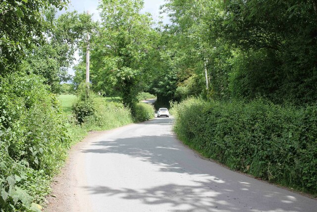
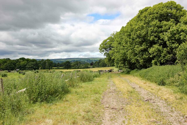
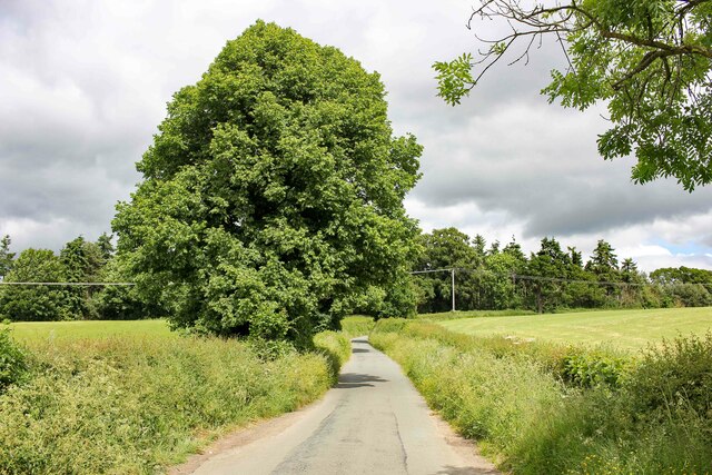
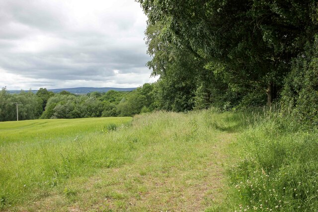
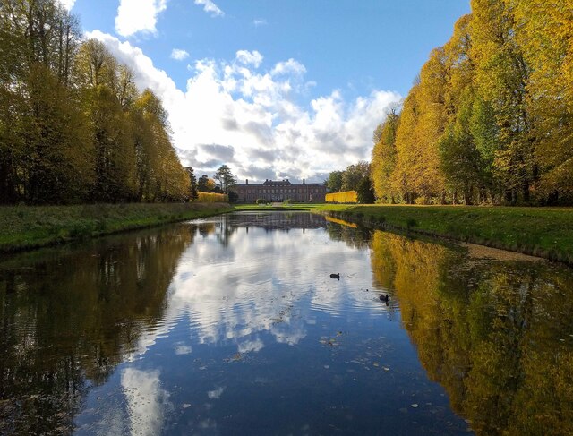
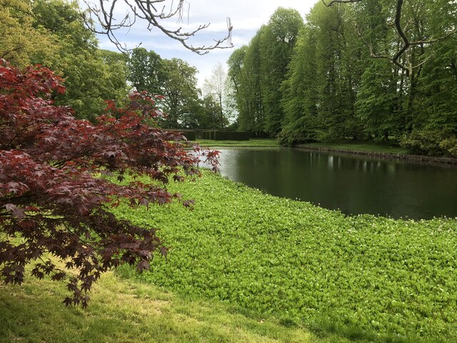
The Rookery is a picturesque wood located in Denbighshire, a county in north-east Wales. Situated in the heart of an enchanting forest, The Rookery showcases the natural beauty of the Welsh countryside. Spanning over several acres, this woodland area is a haven for nature lovers, hikers, and wildlife enthusiasts.
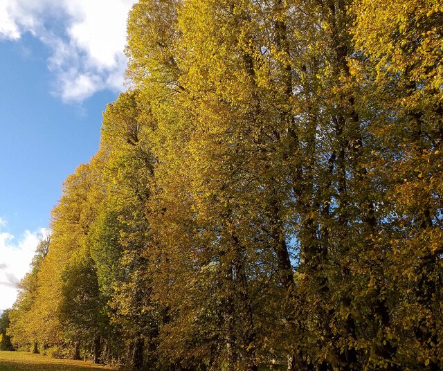
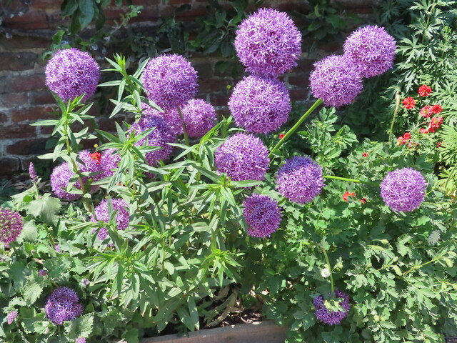
The wood is composed of a diverse range of mature trees, including oak, beech, and birch, which provide a lush canopy, allowing dappled sunlight to filter through. The forest floor is covered in a thick carpet of moss, ferns, and wildflowers, creating a truly enchanting atmosphere. Walking trails wind through the wood, leading visitors on an immersive journey through this serene and tranquil landscape.
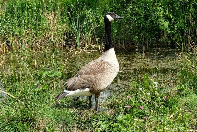
Home to a variety of bird species, The Rookery is a haven for birdwatchers. Visitors may catch glimpses of woodpeckers, owls, and blackbirds among the branches, while the sweet melodies of songbirds fill the air. The wood is also inhabited by various small mammals, such as squirrels and rabbits, adding to its vibrant ecosystem.
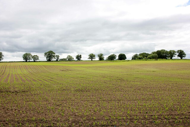
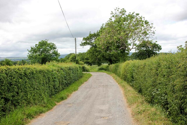
The Rookery offers visitors an opportunity to connect with nature and escape the hustle and bustle of everyday life. Its peaceful ambiance and scenic beauty make it an ideal location for picnics, photography, and simply taking in the sights and sounds of the woodland. With its idyllic setting and rich biodiversity, The Rookery is a true gem of Denbighshire, providing a magical experience for all who venture into its depths.
If you have any feedback on the listing, please let us know in the comments section below.
The Rookery Images
Images are sourced within 2km of 53.023946/-3.0076927 or Grid Reference SJ3247. Thanks to Geograph Open Source API. All images are credited.
The Rookery is located at Grid Ref: SJ3247 (Lat: 53.023946, Lng: -3.0076927)
Unitary Authority: Wrexham
Police Authority: North Wales
What 3 Words
///limitless.addicted.asked. Near Wrexham
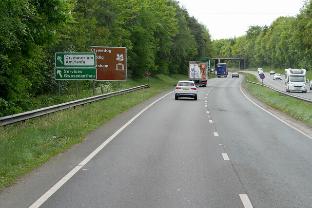
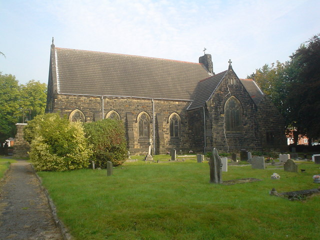
Nearby Locations
Related Wikis

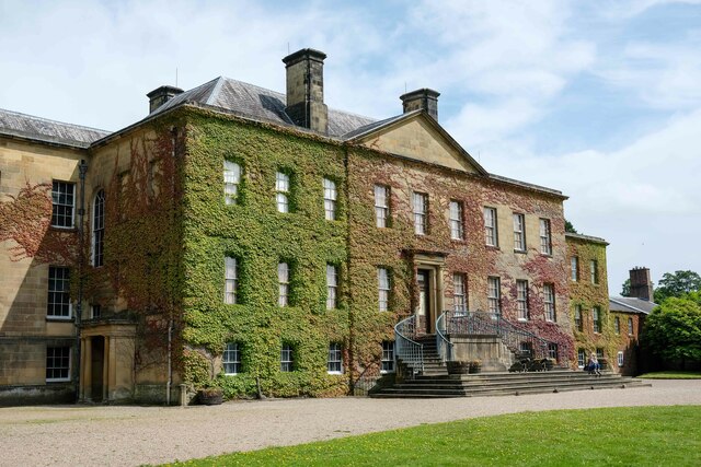
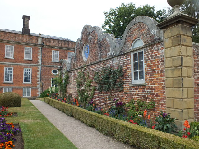
Erddig
Erddig Hall (Welsh: Neuadd Erddig; or simply Erddig; Welsh pronunciation: [ˈɛrðɪɡ]) is a Grade-I listed National Trust property near Wrexham, North Wales...
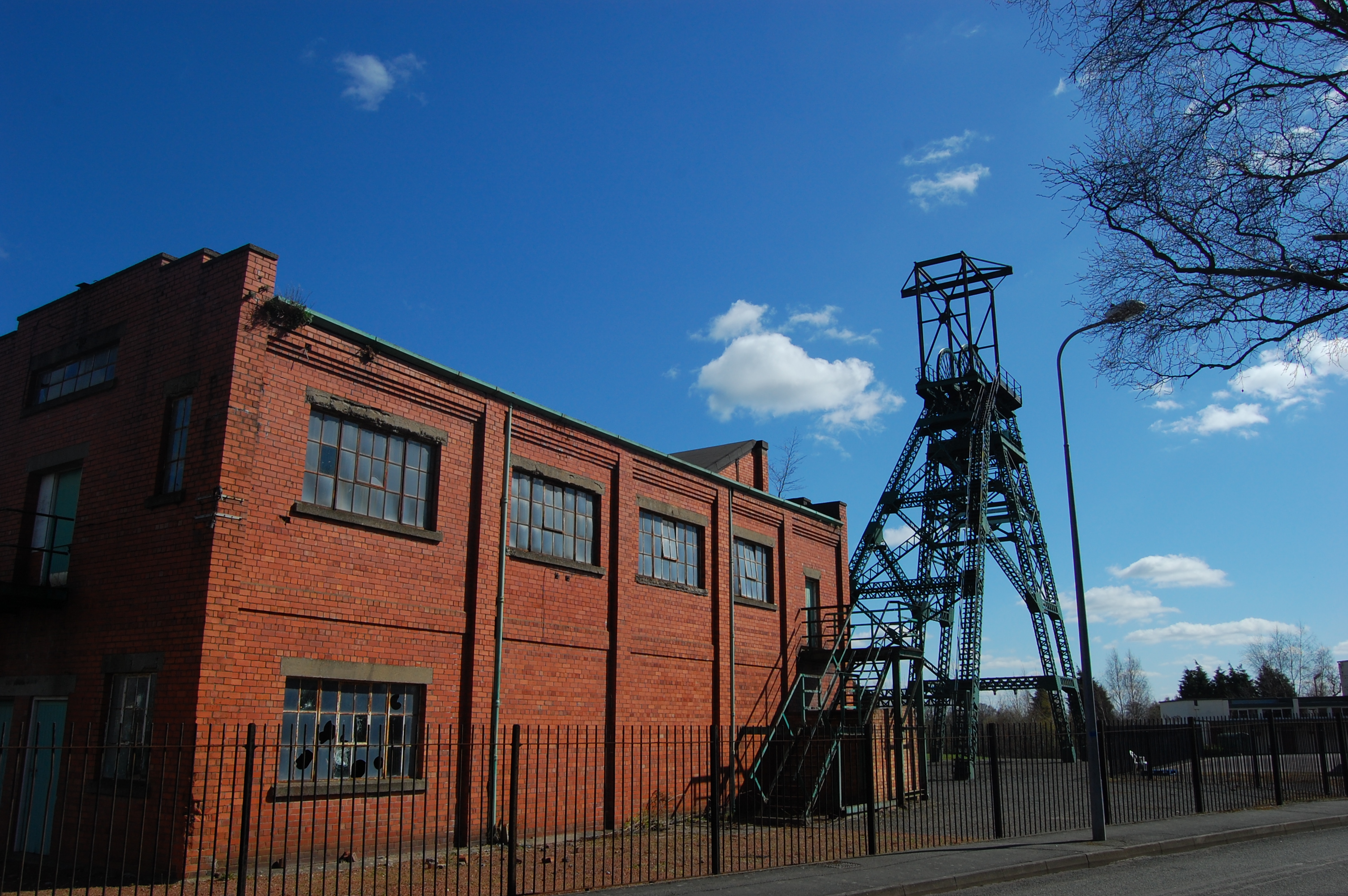
Bersham Colliery
Bersham Colliery was a large coal mine located near Rhostyllen in Wrexham County Borough, Wales. The mine accessed seams found in the Denbighshire Coalfield...
Rhostyllen
Rhostyllen () is a village in Wrexham County Borough, Wales, south-west of the city of Wrexham. At the time of the 2001 census, area Wrexham 014A, which...

St Joseph's Catholic and Anglican High School
St Joseph's Catholic and Anglican High School (Welsh: Ysgol Uwchradd Gatholig ac Anglicanaidd Sant Joseff) is a secondary school in Wrexham, Wales, located...
Rhostyllen railway station
Rhostyllen (pronounced [r̥ɔsˈtəɬən], Ross-tuth-l'n) was a minor railway station of the Great Western Railway, located on the Rhos Branch just off the Shrewsbury...
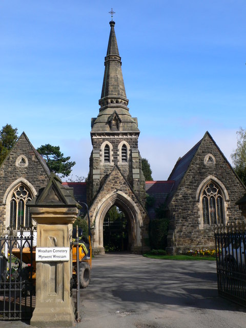
Wrexham Cemetery
Wrexham Cemetery (Welsh: Mynwent Wrecsam) is a Victorian garden cemetery in Wrexham, North Wales, which served as the main burial site for the city. It...
Rhostyllen F.C.
Rhostyllen Football Club is a Welsh football club from Rhostyllen in Wrexham County Borough. The club was founded in 2015 and they currently play in the...

Bonc yr Hafod
Bonc yr Hafod (Welsh for 'Hafod Bank') is a country park, on the former site of Hafod Colliery, near Johnstown and Pentre Bychan in Wrexham County Borough...
Nearby Amenities
Located within 500m of 53.023946,-3.0076927Have you been to The Rookery?
Leave your review of The Rookery below (or comments, questions and feedback).