Gravelhole Wood

Wood, Forest in Flintshire

Wales

Gravelhole Wood

Park Farm, Broughton
Park Farm, Broughton Credit: Eirian Evans

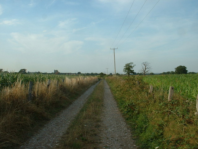
Gravelhole Wood is a picturesque woodland located in the county of Flintshire, Wales. This enchanting forest covers an area of approximately 100 acres and is nestled amidst the rolling countryside, offering visitors a tranquil escape from the hustle and bustle of everyday life.

The wood is characterized by its diverse range of tree species, including oak, beech, ash, and birch. These majestic trees create a dense canopy that filters sunlight, casting dappled shadows on the forest floor, adding to the magical ambiance of the wood. The undergrowth is rich with ferns, mosses, and wildflowers, creating a vibrant tapestry of colors and textures.

Gravelhole Wood is home to a plethora of wildlife, including various bird species such as woodpeckers, owls, and thrushes. Visitors may also spot small mammals like squirrels, badgers, and foxes as they explore the winding trails that meander through the wood. The tranquil atmosphere and abundance of wildlife make this woodland a popular destination for nature enthusiasts and birdwatchers alike.

The wood is easily accessible, with a well-maintained network of footpaths and trails that allow visitors to explore its hidden treasures. Additionally, there are picnic areas and benches strategically placed, providing the perfect opportunity to relax and enjoy the serene surroundings.

Overall, Gravelhole Wood is a haven for nature lovers, offering a truly immersive experience in the heart of Flintshire's countryside. Whether it be a leisurely stroll, birdwatching, or simply appreciating the beauty of nature, this enchanting woodland is sure to captivate visitors of all ages.

If you have any feedback on the listing, please let us know in the comments section below.

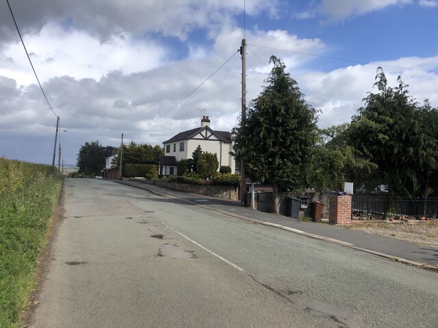
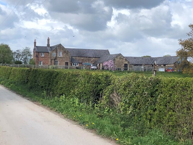
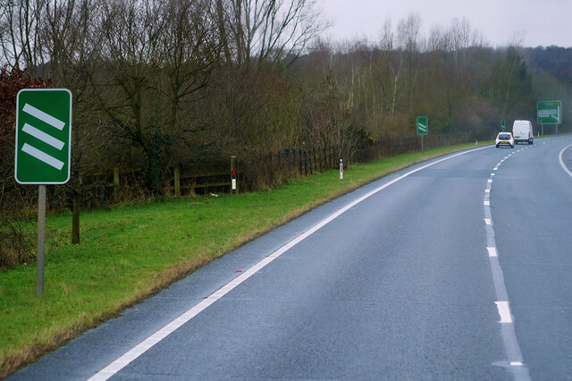
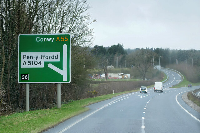
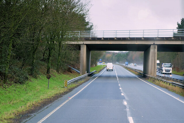
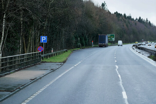
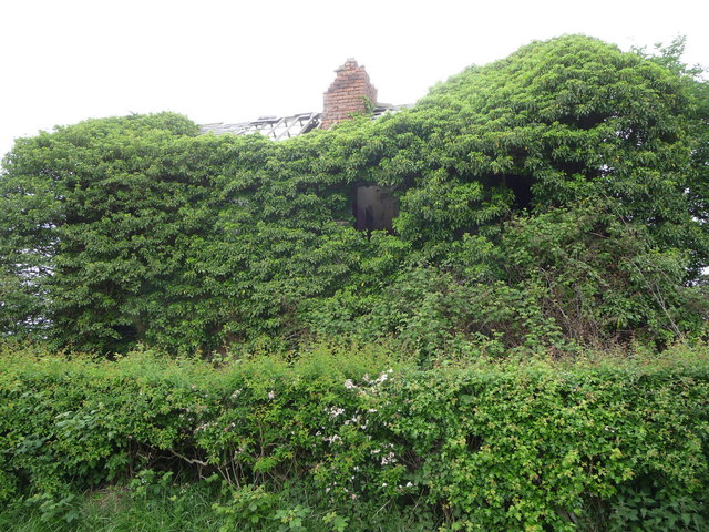
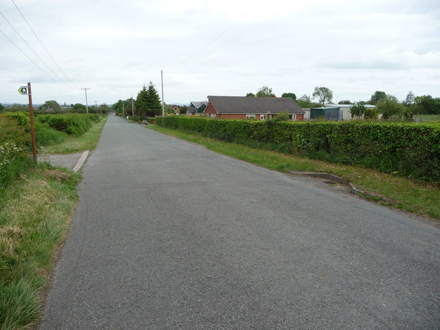
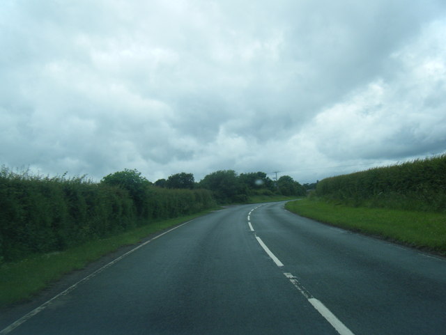
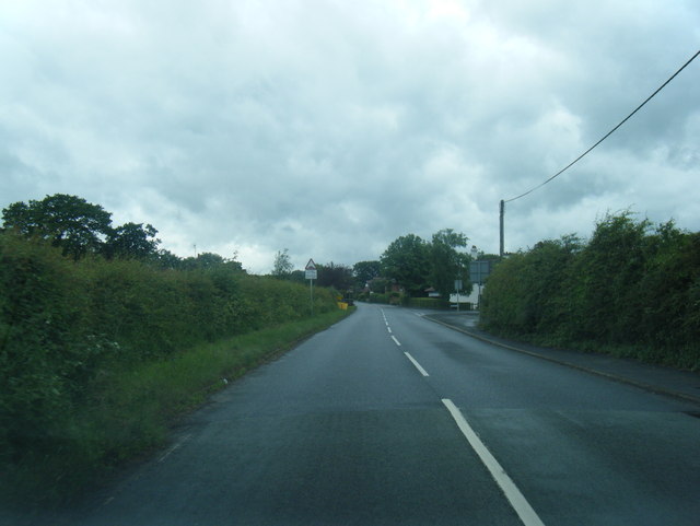
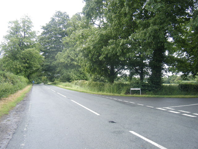
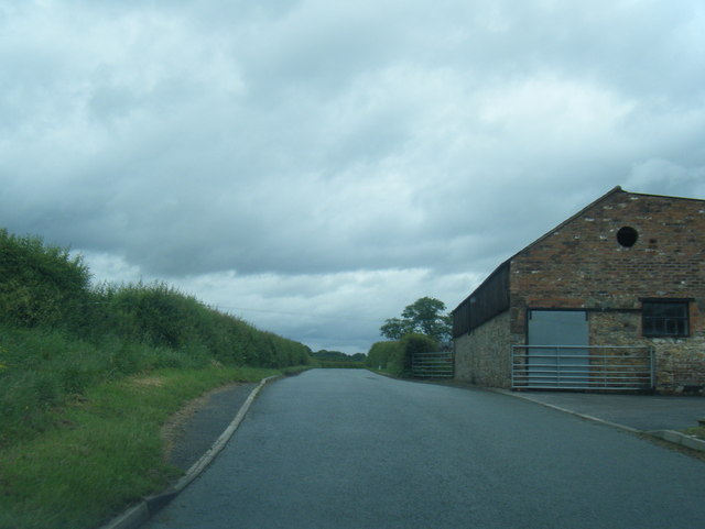
Gravelhole Wood Images

Images are sourced within 2km of 53.156876/-3.0156792 or Grid Reference SJ3262. Thanks to Geograph Open Source API. All images are credited.

Park Farm, Broughton
Dilapidated house at Park Farm
House on Old Warren, Broughton
Cherry Orchard House On Cherry Orchard Road. a private road in Hawarden Park
Cherry Orchard House
On Cherry Orchard Road. a private road in Hawarden Park
Farm in the Hawarden Estate On Cherry Orchard Road
Farm in the Hawarden Estate
On Cherry Orchard Road
Airbus Beluga #3 approaching Hawarden Airport The Airbus Beluga #3 transporter plane approaching Hawarden Airport, viewed from the Broughton Shopping Centre.
Airbus Beluga #3 approaching Hawarden Airport
The Airbus Beluga #3 transporter plane approaching Hawarden Airport, viewed from the Broughton Shopping Centre.
North Wales Expressway towards Junction 36 at Broughton The A55, also known as the North Wales Expressway (Gwibffordd Gogledd Cymru), is the major road in North Wales running for 88 miles between Chester and Holyhead via Conwy and Bangor. 

The A55 is a very high quality road, much of it rebuilt since the 1970s in response to traffic problems in Colwyn Bay, Colwyn and Llandudno caused by traffic having to pass through town centres on totally unsuitable streets, (especially in Conwy where lorries often scraped their paintwork as they passed through 12th century arches in the town's walls), leading to the construction of an east-west expressway bypassing the urban centres. It is a dual carriageway primary route for its entire length with the exception of the point where it crosses the Britannia Bridge over the Menai Strait. All of its junctions are grade separated except for two roundabouts; one east of Penmaenmawr and one in Llanfairfechan. The road originally ran from Chester to Bangor but was extended parallel to the A5 across Anglesey right into Holyhead Docks in 2001.

<span class="nowrap"><a title="http://www.sabre-roads.org.uk/wiki/index.php?title=A55" rel="nofollow ugc noopener" href="http://www.sabre-roads.org.uk/wiki/index.php?title=A55">Link</a><img style="margin-left:2px;" alt="External link" title="External link - shift click to open in new window" src="https://s1.geograph.org.uk/img/external.png" width="10" height="10"/></span>  SABRE
North Wales Expressway towards Junction 36 at Broughton
The A55, also known as the North Wales Expressway (Gwibffordd Gogledd Cymru), is the major road in North Wales running for 88 miles between Chester and Holyhead via Conwy and Bangor. The A55 is a very high quality road, much of it rebuilt since the 1970s in response to traffic problems in Colwyn Bay, Colwyn and Llandudno caused by traffic having to pass through town centres on totally unsuitable streets, (especially in Conwy where lorries often scraped their paintwork as they passed through 12th century arches in the town's walls), leading to the construction of an east-west expressway bypassing the urban centres. It is a dual carriageway primary route for its entire length with the exception of the point where it crosses the Britannia Bridge over the Menai Strait. All of its junctions are grade separated except for two roundabouts; one east of Penmaenmawr and one in Llanfairfechan. The road originally ran from Chester to Bangor but was extended parallel to the A5 across Anglesey right into Holyhead Docks in 2001. LinkExternal link SABRE
North Wales Expressway (A55)  at Junction 36 The A55, also known as the North Wales Expressway (Gwibffordd Gogledd Cymru), is the major road in North Wales running for 88 miles between Chester and Holyhead via Conwy and Bangor. 

The A55 is a very high quality road, much of it rebuilt since the 1970s in response to traffic problems in Colwyn Bay, Colwyn and Llandudno caused by traffic having to pass through town centres on totally unsuitable streets, (especially in Conwy where lorries often scraped their paintwork as they passed through 12th century arches in the town's walls), leading to the construction of an east-west expressway bypassing the urban centres. It is a dual carriageway primary route for its entire length with the exception of the point where it crosses the Britannia Bridge over the Menai Strait. All of its junctions are grade separated except for two roundabouts; one east of Penmaenmawr and one in Llanfairfechan. The road originally ran from Chester to Bangor but was extended parallel to the A5 across Anglesey right into Holyhead Docks in 2001.

<span class="nowrap"><a title="http://www.sabre-roads.org.uk/wiki/index.php?title=A55" rel="nofollow ugc noopener" href="http://www.sabre-roads.org.uk/wiki/index.php?title=A55">Link</a><img style="margin-left:2px;" alt="External link" title="External link - shift click to open in new window" src="https://s1.geograph.org.uk/img/external.png" width="10" height="10"/></span>  SABRE
North Wales Expressway (A55) at Junction 36
The A55, also known as the North Wales Expressway (Gwibffordd Gogledd Cymru), is the major road in North Wales running for 88 miles between Chester and Holyhead via Conwy and Bangor. The A55 is a very high quality road, much of it rebuilt since the 1970s in response to traffic problems in Colwyn Bay, Colwyn and Llandudno caused by traffic having to pass through town centres on totally unsuitable streets, (especially in Conwy where lorries often scraped their paintwork as they passed through 12th century arches in the town's walls), leading to the construction of an east-west expressway bypassing the urban centres. It is a dual carriageway primary route for its entire length with the exception of the point where it crosses the Britannia Bridge over the Menai Strait. All of its junctions are grade separated except for two roundabouts; one east of Penmaenmawr and one in Llanfairfechan. The road originally ran from Chester to Bangor but was extended parallel to the A5 across Anglesey right into Holyhead Docks in 2001. LinkExternal link SABRE
North Wales Expressway (A55), Bridge at Junction 36 The A55, also known as the North Wales Expressway (Gwibffordd Gogledd Cymru), is the major road in North Wales running for 88 miles between Chester and Holyhead via Conwy and Bangor. 

The A55 is a very high quality road, much of it rebuilt since the 1970s in response to traffic problems in Colwyn Bay, Colwyn and Llandudno caused by traffic having to pass through town centres on totally unsuitable streets, (especially in Conwy where lorries often scraped their paintwork as they passed through 12th century arches in the town's walls), leading to the construction of an east-west expressway bypassing the urban centres. It is a dual carriageway primary route for its entire length with the exception of the point where it crosses the Britannia Bridge over the Menai Strait. All of its junctions are grade separated except for two roundabouts; one east of Penmaenmawr and one in Llanfairfechan. The road originally ran from Chester to Bangor but was extended parallel to the A5 across Anglesey right into Holyhead Docks in 2001.

<span class="nowrap"><a title="http://www.sabre-roads.org.uk/wiki/index.php?title=A55" rel="nofollow ugc noopener" href="http://www.sabre-roads.org.uk/wiki/index.php?title=A55">Link</a><img style="margin-left:2px;" alt="External link" title="External link - shift click to open in new window" src="https://s1.geograph.org.uk/img/external.png" width="10" height="10"/></span>  SABRE
North Wales Expressway (A55), Bridge at Junction 36
The A55, also known as the North Wales Expressway (Gwibffordd Gogledd Cymru), is the major road in North Wales running for 88 miles between Chester and Holyhead via Conwy and Bangor. The A55 is a very high quality road, much of it rebuilt since the 1970s in response to traffic problems in Colwyn Bay, Colwyn and Llandudno caused by traffic having to pass through town centres on totally unsuitable streets, (especially in Conwy where lorries often scraped their paintwork as they passed through 12th century arches in the town's walls), leading to the construction of an east-west expressway bypassing the urban centres. It is a dual carriageway primary route for its entire length with the exception of the point where it crosses the Britannia Bridge over the Menai Strait. All of its junctions are grade separated except for two roundabouts; one east of Penmaenmawr and one in Llanfairfechan. The road originally ran from Chester to Bangor but was extended parallel to the A5 across Anglesey right into Holyhead Docks in 2001. LinkExternal link SABRE
Layby on the North Wales Expressway (A55) The A55, also known as the North Wales Expressway (Gwibffordd Gogledd Cymru), is the major road in North Wales running for 88 miles between Chester and Holyhead via Conwy and Bangor. 

The A55 is a very high quality road, much of it rebuilt since the 1970s in response to traffic problems in Colwyn Bay, Colwyn and Llandudno caused by traffic having to pass through town centres on totally unsuitable streets, (especially in Conwy where lorries often scraped their paintwork as they passed through 12th century arches in the town's walls), leading to the construction of an east-west expressway bypassing the urban centres. It is a dual carriageway primary route for its entire length with the exception of the point where it crosses the Britannia Bridge over the Menai Strait. All of its junctions are grade separated except for two roundabouts; one east of Penmaenmawr and one in Llanfairfechan. The road originally ran from Chester to Bangor but was extended parallel to the A5 across Anglesey right into Holyhead Docks in 2001.

<span class="nowrap"><a title="http://www.sabre-roads.org.uk/wiki/index.php?title=A55" rel="nofollow ugc noopener" href="http://www.sabre-roads.org.uk/wiki/index.php?title=A55">Link</a><img style="margin-left:2px;" alt="External link" title="External link - shift click to open in new window" src="https://s1.geograph.org.uk/img/external.png" width="10" height="10"/></span>  SABRE
Layby on the North Wales Expressway (A55)
The A55, also known as the North Wales Expressway (Gwibffordd Gogledd Cymru), is the major road in North Wales running for 88 miles between Chester and Holyhead via Conwy and Bangor. The A55 is a very high quality road, much of it rebuilt since the 1970s in response to traffic problems in Colwyn Bay, Colwyn and Llandudno caused by traffic having to pass through town centres on totally unsuitable streets, (especially in Conwy where lorries often scraped their paintwork as they passed through 12th century arches in the town's walls), leading to the construction of an east-west expressway bypassing the urban centres. It is a dual carriageway primary route for its entire length with the exception of the point where it crosses the Britannia Bridge over the Menai Strait. All of its junctions are grade separated except for two roundabouts; one east of Penmaenmawr and one in Llanfairfechan. The road originally ran from Chester to Bangor but was extended parallel to the A5 across Anglesey right into Holyhead Docks in 2001. LinkExternal link SABRE
Horses in pasture near Park Farm A handsome gelding and a grey mare graze in fields near Park Farm. A tiny bit of Hawarden Castle is visible through trees in the distance.
Horses in pasture near Park Farm
A handsome gelding and a grey mare graze in fields near Park Farm. A tiny bit of Hawarden Castle is visible through trees in the distance.
Overgrown property near Park Farm This thoroughly overgrown, ivy-clad ruined building seems to have once been a residence. The chimney is the only visible portion, apart from a window. The roof tiles are gone and I bet it has a resident owl or two.
Overgrown property near Park Farm
This thoroughly overgrown, ivy-clad ruined building seems to have once been a residence. The chimney is the only visible portion, apart from a window. The roof tiles are gone and I bet it has a resident owl or two.
Public footpath sign near Broughton Old metal signage on a turn off this long straight road.
Public footpath sign near Broughton
Old metal signage on a turn off this long straight road.
Main Road west of Lower Kinnerton
Main Road approaching Kinnerton Lane junction
Kinnerton Lane/Lesters Lane junction
Lesters Lane at Crab Mill Farm
Kinnerton Old Road at Silverwell
Show me another place!

Gravelhole Wood is located at Grid Ref: SJ3262 (Lat: 53.156876, Lng: -3.0156792)

Unitary Authority: Flintshire

Police Authority: North Wales

What 3 Words

///apart.weedy.engineers. Near Broughton, Flintshire

Nearby Locations

Gravelhole Wood Warren

Related Wikis

Broughton Hall, Flintshire

Broughton Hall was a large country house that was located in Broughton, Flintshire, Wales. It was demolished in the early 1970s and houses now exist on...

Higher Kinnerton

Higher Kinnerton is a village and community within rural Flintshire, Wales, close to the Wales-England border. Its sister village, Lower Kinnerton, is...

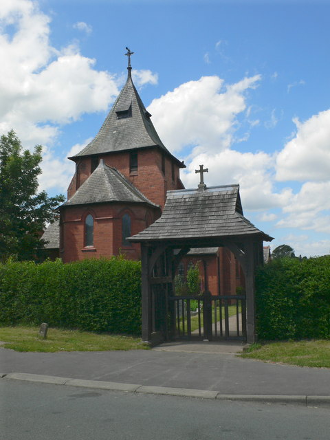
All Saints Church, Higher Kinnerton

All Saints Church is in Main Road, Higher Kinnerton, Flintshire, Wales. It is an active Anglican parish church in the Diocese of Chester, the archdeaconry...

Penymynydd

Penymynydd is a small village in Flintshire, Wales, merging with the larger neighbouring village of Penyffordd. The name Penymynydd is Welsh, meaning...

Kinnerton railway station

Kinnerton railway station was a station in Higher Kinnerton, Flintshire, Wales. The station was opened on 2 February 1891 and closed on 30 April 1962....

Lower Kinnerton Hall

Lower Kinnerton Hall, also known as Bridge Farmhouse, stands adjacent to the England-Wales border to the west of the village of Lower Kinnerton, Cheshire...

Mold Railway

The Mold Railway was a railway company that built a line in north-east Wales. The line linked Mold to Chester and it opened on 14 August 1849. The company...

Hope & Pen-y-ffordd railway station

Hope & Pen-y-ffordd railway station was a station in Penyffordd, Flintshire, Wales. The station was opened on 14 August 1849 and closed on 30 April 1962...

Nearby Amenities

Located within 500m of 53.156876,-3.0156792
Ref: 71
Lat/Long: 53.1561972/-3.0219076
Warren Hall
Place: hamlet
Lat/Long: 53.1589108/-3.014074
Power: pole
Lat/Long: 53.1560934/-3.0113617
Power: pole
Lat/Long: 53.155479/-3.0122361
Power: pole
Lat/Long: 53.1548404/-3.0131212
Power: pole
Lat/Long: 53.1542791/-3.0139178
Power: pole
Lat/Long: 53.1538513/-3.0110398
Power: pole
Lat/Long: 53.1539703/-3.0124533
Power: pole
Lat/Long: 53.154078/-3.0138508
Power: pole
Lat/Long: 53.1542228/-3.015267
Power: pole
Lat/Long: 53.1553712/-3.0223802
Power: pole
Lat/Long: 53.1551201/-3.0206018
Power: pole
Lat/Long: 53.1544592/-3.0167127
Power: pole
Lat/Long: 53.1547021/-3.0181208
Power: pole
Lat/Long: 53.1549594/-3.0196658
The data included in this document is from www.openstreetmap.org. The data is made available under ODbL.

Have you been to Gravelhole Wood?

Leave your review of Gravelhole Wood below (or comments, questions and feedback).