Caerhun
Settlement in Caernarfonshire
Wales
Caerhun
Caerhun is a small rural village located in the county of Caernarfonshire, in North Wales. Situated on the banks of the River Conwy, it is nestled within the beautiful Conwy Valley, surrounded by picturesque countryside and rolling hills.
The village is known for its rich historical heritage, with evidence of human settlement dating back to the Roman era. The most notable landmark in Caerhun is the Caerhun Roman Fort, which was established in the 1st century AD and played a significant role in the region's military history. The fort's ruins and defensive walls still stand, attracting history enthusiasts and archaeologists alike.
Caerhun is a small, close-knit community with a population of around 300 residents. It offers a peaceful and idyllic setting, making it an attractive destination for those seeking a tranquil retreat. The village boasts a charming church, St. Mary's, which dates back to the 12th century and features stunning medieval architecture.
The surrounding area of Caerhun offers ample opportunities for outdoor activities and exploration. The nearby Snowdonia National Park provides a haven for hikers, climbers, and nature lovers, with its majestic mountain ranges, beautiful lakes, and abundant wildlife.
Despite its rural location, Caerhun is conveniently situated just a short drive away from the market town of Conwy and the popular seaside resort of Llandudno. This allows residents and visitors to access a wider range of amenities, including shops, restaurants, and entertainment options.
In conclusion, Caerhun is a quaint village in Caernarfonshire, Wales, renowned for its historical significance, natural beauty, and peaceful atmosphere, making it an appealing destination for both history enthusiasts and those seeking a tranquil retreat.
If you have any feedback on the listing, please let us know in the comments section below.
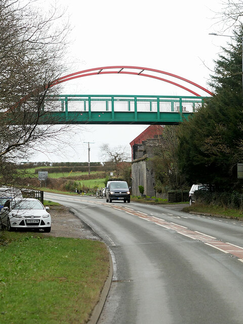
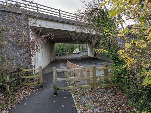
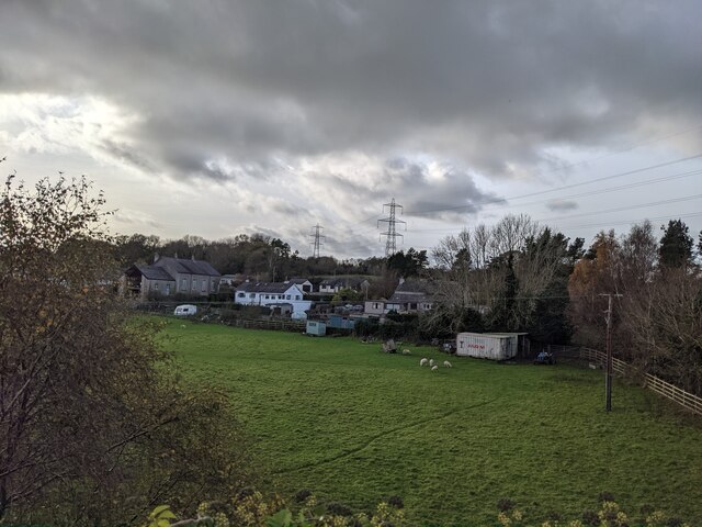
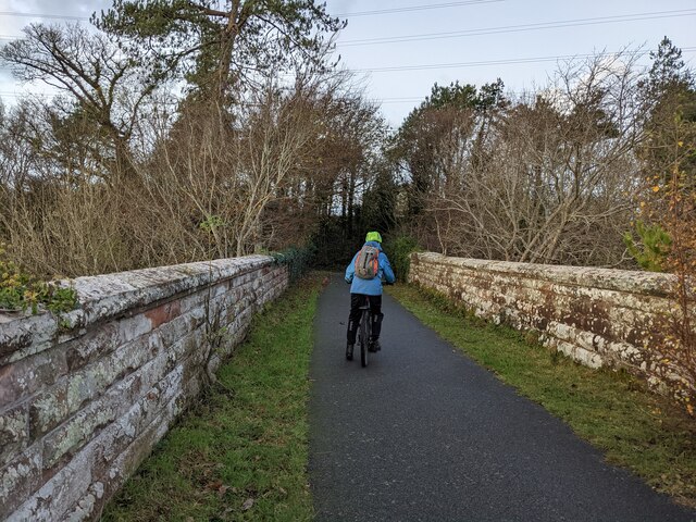
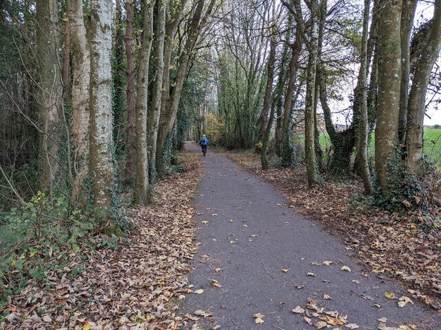
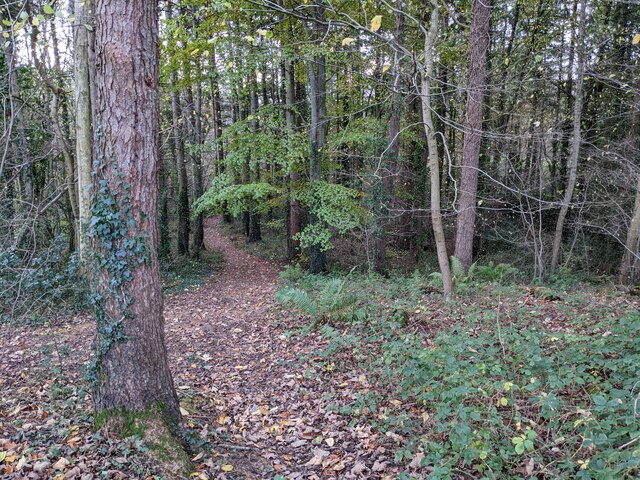
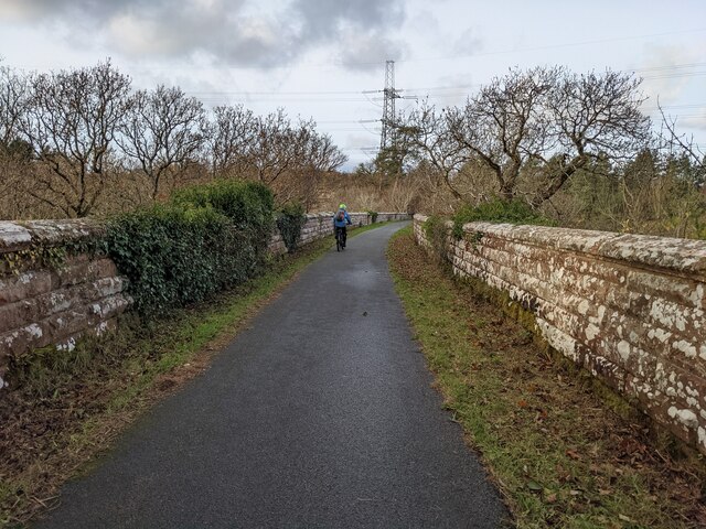
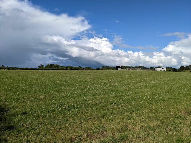
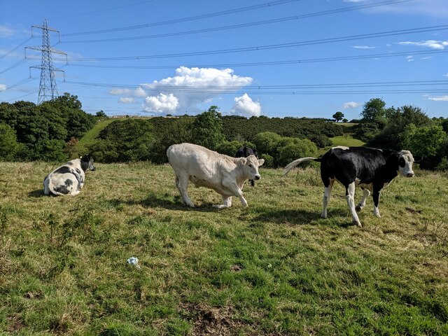
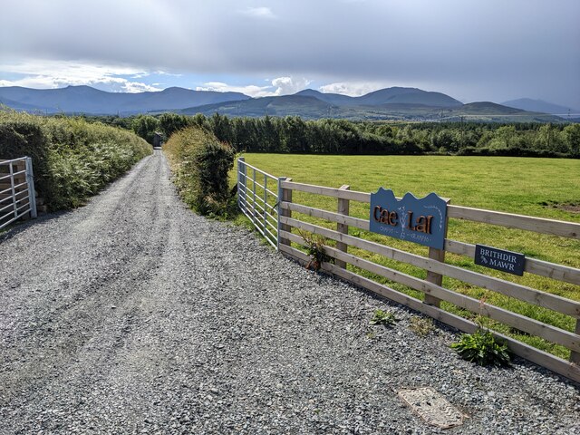
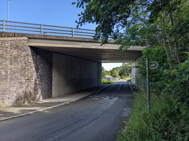
Caerhun Images
Images are sourced within 2km of 53.199414/-4.1371 or Grid Reference SH5769. Thanks to Geograph Open Source API. All images are credited.


Caerhun is located at Grid Ref: SH5769 (Lat: 53.199414, Lng: -4.1371)
Unitary Authority: Gwynedd
Police Authority: North Wales
What 3 Words
///trailers.haggling.barks. Near Bangor, Gwynedd
Nearby Locations
Related Wikis

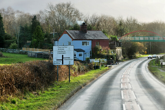
Glasinfryn
Glasinfryn is a small village in Gwynedd, Wales. It is situated between the village of Tregarth and the city of Bangor, Gwynedd, and in the community of...

Felin Hen Halt railway station
Felin Hen Halt railway station was a station in Glasinfryn, Gwynedd, Wales on the Bethesda branch line. The station was opened on 1 July 1884 and closed...
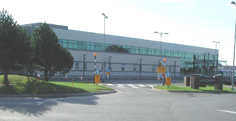
Ysbyty Gwynedd
Ysbyty Gwynedd (English: Gwynedd Hospital) is a district general hospital in Bangor, Gwynedd, Wales. It is managed by Betsi Cadwaladr University Health...

Minffordd Hospital
Minffordd Hospital (Welsh: Ysbyty Minffordd) was a health facility in Bangor, Gwynedd, Wales. It was managed by the Betsi Cadwaladr University Health Board...

Pentir
Pentir is a community and electoral ward in the county of Gwynedd, Wales, and is 124 miles (199.9 km) from Cardiff and 205 miles (329.4 km) from London...

Hendre (Bangor electoral ward)
Hendre is one of eight electoral wards in the city of Bangor, Gwynedd, Wales. The ward covers part of the city south of the city centre, including West...
Aber Dinlle Fault
The Aber Dinlle Fault is a SW-NE trending fault in North Wales. It forms part of the Menai Strait Fault System, with the Berw and Dinorwic Faults. It lies...
Friars School, Bangor
Friars School is a school in Bangor, Gwynedd, and the second oldest extant school in Wales. == History == === 1557 Establishment === The school was founded...
Nearby Amenities
Located within 500m of 53.199414,-4.1371Have you been to Caerhun?
Leave your review of Caerhun below (or comments, questions and feedback).