Coed Heddwch

Wood, Forest in Caernarfonshire

Wales

Coed Heddwch

A typical road bridge over the A55, near Bangor An Eastbound view, showing the snow-covered mountains of Snowdonia ahead. This section of the A55 makes up the Bangor Bypass and opened in 1983.
A typical road bridge over the A55, near Bangor Credit: Oliver Mills

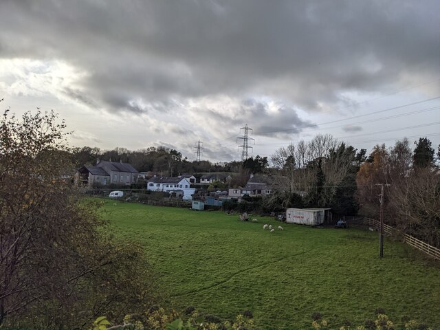
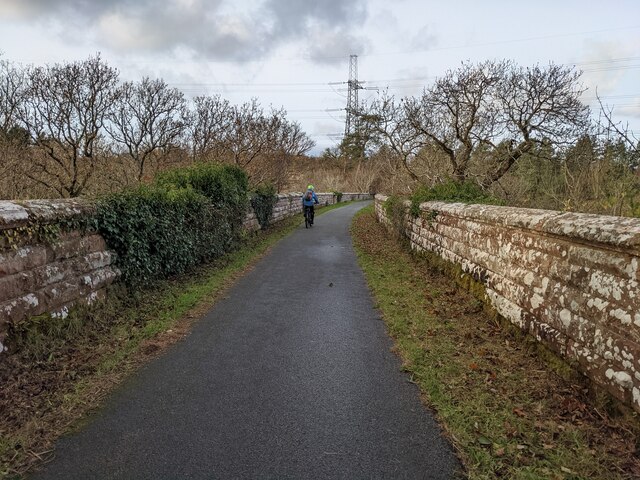
Coed Heddwch is a mesmerizing woodland located in Caernarfonshire, Wales. With its name meaning "Wood of Peace," it evokes a sense of tranquility and natural beauty. Spread over a vast area, the forest offers a diverse range of flora and fauna, making it an ideal destination for nature enthusiasts and hikers.

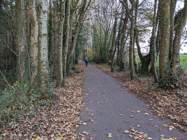
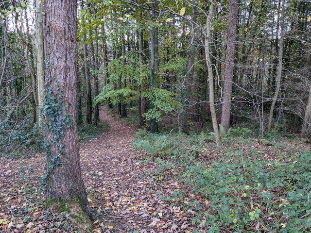
The woodland is primarily composed of broadleaved trees, including oak, birch, and beech, which create a dense canopy overhead. This canopy provides a sheltered environment, allowing an array of smaller plants and wildflowers to flourish on the forest floor. Visitors can expect to encounter vibrant bluebells, delicate primroses, and ferns, adding to the enchanting atmosphere.

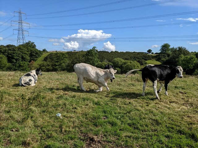
Coed Heddwch is also home to a variety of wildlife, making it a haven for animal lovers. Lucky observers may catch a glimpse of elusive creatures like red squirrels, foxes, and badgers. Birdwatchers will be delighted by the diverse avian population, with species such as woodpeckers, owls, and various songbirds frequently spotted.

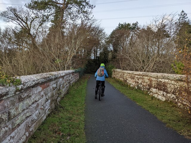
The forest offers a network of well-marked trails, catering to different abilities and preferences. Whether seeking a leisurely stroll or a more challenging hike, visitors can immerse themselves in the serene surroundings. The trails wind through ancient woodland, revealing picturesque views of the surrounding countryside.

Coed Heddwch is not only a natural treasure but also an important historical site. It is believed that the woodland has been in existence for centuries, with remnants of ancient settlements and burial mounds discovered within its borders. This rich history adds an additional layer of intrigue for those exploring the area.

Overall, Coed Heddwch is a captivating woodland that offers a peaceful retreat in the heart of Caernarfonshire. With its breathtaking scenery, diverse wildlife, and fascinating history, it is a destination that appeals to both nature enthusiasts and history buffs alike.

If you have any feedback on the listing, please let us know in the comments section below.
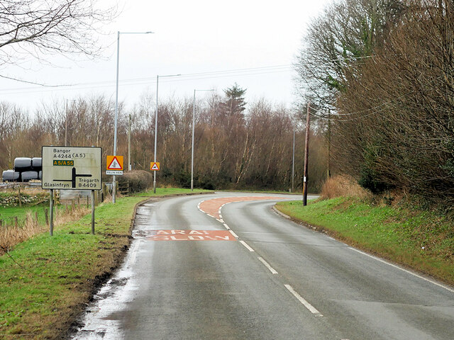
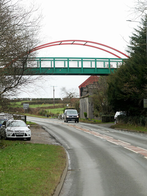
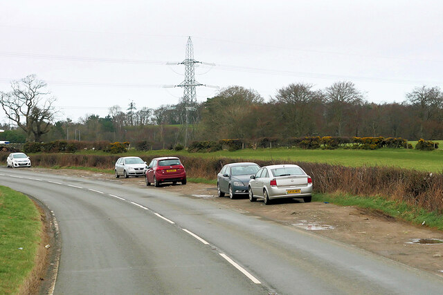
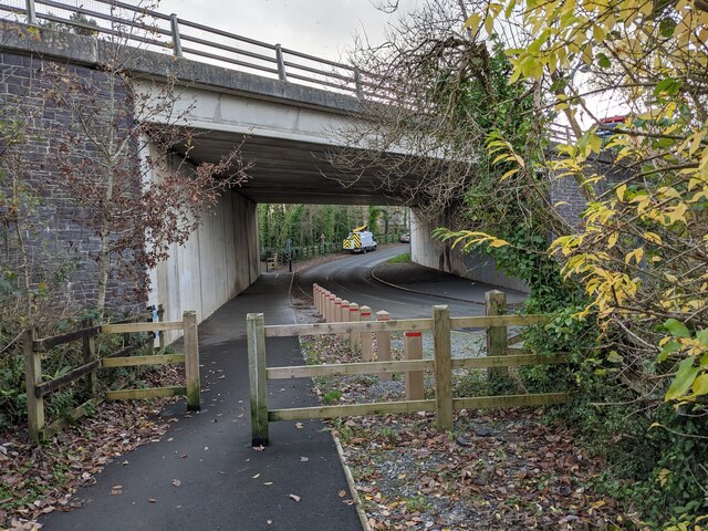
Coed Heddwch Images

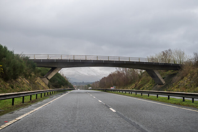
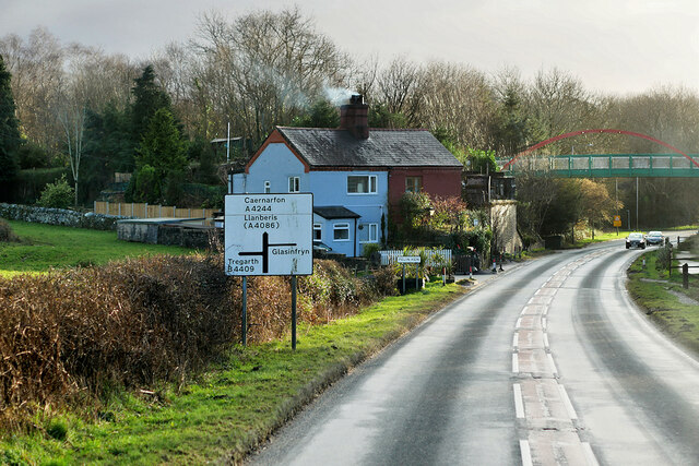
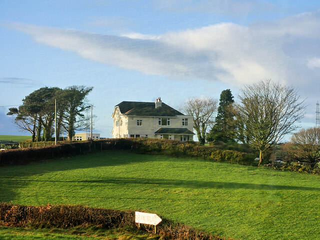
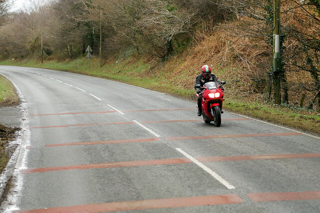
Images are sourced within 2km of 53.199078/-4.1367619 or Grid Reference SH5769. Thanks to Geograph Open Source API. All images are credited.

A typical road bridge over the A55, near Bangor An Eastbound view, showing the snow-covered mountains of Snowdonia ahead. This section of the A55 makes up the Bangor Bypass and opened in 1983.
A typical road bridge over the A55, near Bangor
An Eastbound view, showing the snow-covered mountains of Snowdonia ahead. This section of the A55 makes up the Bangor Bypass and opened in 1983.
A4244, Felin Hen Road The A4244 is a relatively short (6½ miles) rural A-road in north Caernarfonshire. It connects the A5/A55 (near the Llys-y-gwynt junction) with the A4086 at Brynrefail, just outside Llanberis.
A4244, Felin Hen Road
The A4244 is a relatively short (6½ miles) rural A-road in north Caernarfonshire. It connects the A5/A55 (near the Llys-y-gwynt junction) with the A4086 at Brynrefail, just outside Llanberis.
Large House near to Pentir
Motorcyclist on the A4244 near to Pentir
A4244 near Felin-hên
Footbridge over Felin Hen Road The A4244 is a relatively short (6½ miles) rural A-road in north Caernarfonshire. It connects the A5/A55 (near the Llys-y-gwynt junction) with the A4086 at Brynrefail, just outside Llanberis.
Footbridge over Felin Hen Road
The A4244 is a relatively short (6½ miles) rural A-road in north Caernarfonshire. It connects the A5/A55 (near the Llys-y-gwynt junction) with the A4086 at Brynrefail, just outside Llanberis.
Layby on the A4244 near to  Glasinfryn The A4244 is a relatively short (6½ miles) rural A-road in north Caernarfonshire. It connects the A5/A55 (near the Llys-y-gwynt junction) with the A4086 at Brynrefail, just outside Llanberis.
Layby on the A4244 near to Glasinfryn
The A4244 is a relatively short (6½ miles) rural A-road in north Caernarfonshire. It connects the A5/A55 (near the Llys-y-gwynt junction) with the A4086 at Brynrefail, just outside Llanberis.
Eddie Stobart truck, Bangor
Eddie Stobart tanker, Bangor kathleen Amy H5953 PF19 WDK
Eddie Stobart tanker, Bangor
kathleen Amy H5953 PF19 WDK
Lôn Las Ogwen passes under the A55
Field and houses near Lôn Las Ogwen
Solid walls on the bridge over the Afon Cegin
A good biking surface on Lôn Las Ogwen
The last of the leaves in the woodland Next to Lôn Las Ogwen.
The last of the leaves in the woodland
Next to Lôn Las Ogwen.
Sandstone walls on Lôn Las Ogwen
A large field near Fodol Newydd
Cattle near Pont Cae-cerig
The lane to Brithdir Mawr The larger sign is for Cae Lai 'campio glampio' - an invented phrase, I think! But it does sound better than 'glamping'.
The lane to Brithdir Mawr
The larger sign is for Cae Lai 'campio glampio' - an invented phrase, I think! But it does sound better than 'glamping'.
Show me another place!

Coed Heddwch is located at Grid Ref: SH5769 (Lat: 53.199078, Lng: -4.1367619)

Unitary Authority: Gwynedd

Police Authority: North Wales

What 3 Words

///party.footpath.windmills. Near Bangor, Gwynedd

Related Wikis

Glasinfryn

Glasinfryn is a small village in Gwynedd, Wales. It is situated between the village of Tregarth and the city of Bangor, Gwynedd, and in the community of...

Felin Hen Halt railway station

Felin Hen Halt railway station was a station in Glasinfryn, Gwynedd, Wales on the Bethesda branch line. The station was opened on 1 July 1884 and closed...

Ysbyty Gwynedd

Ysbyty Gwynedd (English: Gwynedd Hospital) is a district general hospital in Bangor, Gwynedd, Wales. It is managed by Betsi Cadwaladr University Health...

Pentir

Pentir is a community and electoral ward in the county of Gwynedd, Wales, and is 124 miles (199.9 km) from Cardiff and 205 miles (329.4 km) from London...

Minffordd Hospital

Minffordd Hospital (Welsh: Ysbyty Minffordd) was a health facility in Bangor, Gwynedd, Wales. It was managed by the Betsi Cadwaladr University Health Board...

Hendre (Bangor electoral ward)

Hendre is one of eight electoral wards in the city of Bangor, Gwynedd, Wales. The ward covers part of the city south of the city centre, including West...

Aber Dinlle Fault

The Aber Dinlle Fault is a SW-NE trending fault in North Wales. It forms part of the Menai Strait Fault System, with the Berw and Dinorwic Faults. It lies...

Friars School, Bangor

Friars School is a school in Bangor, Gwynedd, and the second oldest extant school in Wales. == History == === 1557 Establishment === The school was founded...

Nearby Amenities

Located within 500m of 53.199078,-4.1367619
Post Box
Operator: Royal Mail
Operator Wikidata: Q638098
Lat/Long: 53.1993357/-4.137181
Bus Stop
Bus: yes
Public Transport: platform
Lat/Long: 53.1991234/-4.1372179
Phone
Emergency: phone
Lat/Long: 53.1998336/-4.1296808
Power: tower
Lat/Long: 53.1985938/-4.1424897
Power: tower
Lat/Long: 53.2010553/-4.1420873
Power: pole
Lat/Long: 53.1967664/-4.1332029
Power: pole
Lat/Long: 53.1993427/-4.1437072
Power: pole
Lat/Long: 53.1984655/-4.1356981
Power: pole
Lat/Long: 53.1984761/-4.1390018
Power: pole
Lat/Long: 53.1982309/-4.1381765
Power: pole
Lat/Long: 53.1975305/-4.1340325
Power: pole
Lat/Long: 53.198745/-4.139936
Caerhun
Place: village
Lat/Long: 53.1989406/-4.1357904
Power: pole
Lat/Long: 53.198982/-4.1413901
Power: pole
Lat/Long: 53.1990935/-4.1354111
Power: pole
Lat/Long: 53.1998193/-4.1351667
Power: pole
Lat/Long: 53.2006148/-4.1356769
Power: pole
Lat/Long: 53.1998541/-4.1367043
Power: pole
Lat/Long: 53.2003098/-4.1376044
Power: pole
Lat/Long: 53.2005916/-4.1381557
Power: pole
Lat/Long: 53.2008033/-4.1385943
Power: pole
Lat/Long: 53.2011931/-4.1358242
Power: pole
Lat/Long: 53.201622/-4.1359852
Power: pole
Lat/Long: 53.2026263/-4.1359921
Power: pole
Lat/Long: 53.2030216/-4.1364796
Power: pole
Lat/Long: 53.2029074/-4.1369627
Power: pole
Lat/Long: 53.2025475/-4.1374804
Shelter
Shelter Type: public_transport
Lat/Long: 53.1993029/-4.1371332
Parking
Access: yes
Fee: no
Parking: layby
Lat/Long: 53.1999076/-4.1303022
The data included in this document is from www.openstreetmap.org. The data is made available under ODbL.

Have you been to Coed Heddwch?

Leave your review of Coed Heddwch below (or comments, questions and feedback).