Pant-caerhun

Settlement in Caernarfonshire

Wales

Pant-caerhun

A typical road bridge over the A55, near Bangor An Eastbound view, showing the snow-covered mountains of Snowdonia ahead. This section of the A55 makes up the Bangor Bypass and opened in 1983.
A typical road bridge over the A55, near Bangor Credit: Oliver Mills

Pant-caerhun is a village located in the county of Caernarfonshire, Wales. Situated just 4 miles south of the town of Caernarfon, it is nestled within the picturesque countryside of Snowdonia National Park. The village is surrounded by rolling hills and offers stunning views of the nearby Menai Strait.

The origins of Pant-caerhun can be traced back to ancient times, with evidence of human activity in the area dating back to the Iron Age. The village takes its name from an Iron Age hillfort, Caerhun, which is located nearby. The hillfort is a significant historical site and attracts visitors interested in exploring its ancient ruins.

Pant-caerhun is a small, close-knit community with a population of around 300 residents. It is known for its peaceful and rural atmosphere, making it an ideal place for those seeking a tranquil lifestyle. The village is home to a charming parish church, St. Mary's, which has stood for centuries and is a focal point for local religious activities.

Despite its small size, Pant-caerhun offers a range of amenities to its residents. These include a community hall, a primary school, and a local pub that serves as a social hub for the village. Additionally, the surrounding area provides ample opportunities for outdoor activities such as hiking, cycling, and fishing, attracting nature enthusiasts from both near and far.

Overall, Pant-caerhun is a quiet and idyllic village that offers a peaceful escape from the hustle and bustle of modern life. Its rich history, stunning natural surroundings, and strong sense of community make it a desirable place to live for those seeking a slower pace of life in the heart of Wales.

If you have any feedback on the listing, please let us know in the comments section below.
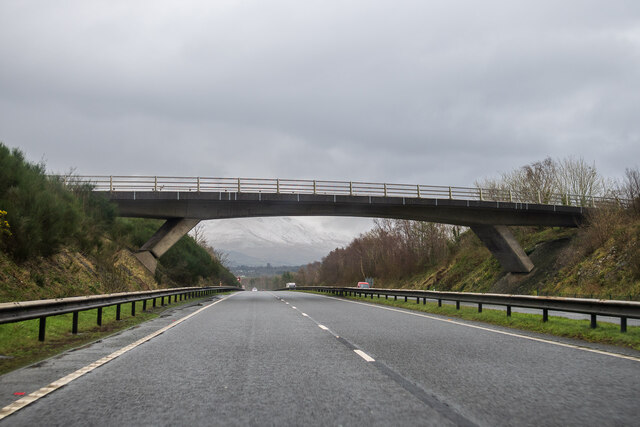
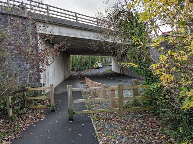
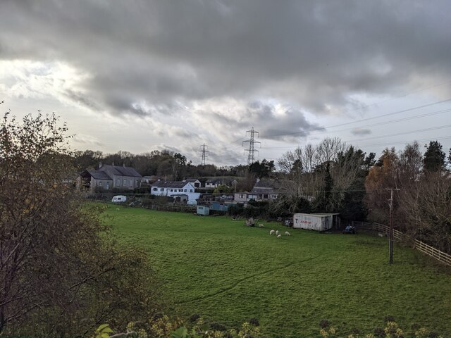
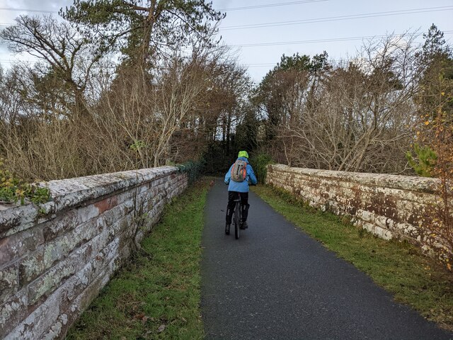
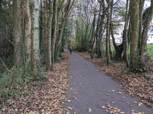
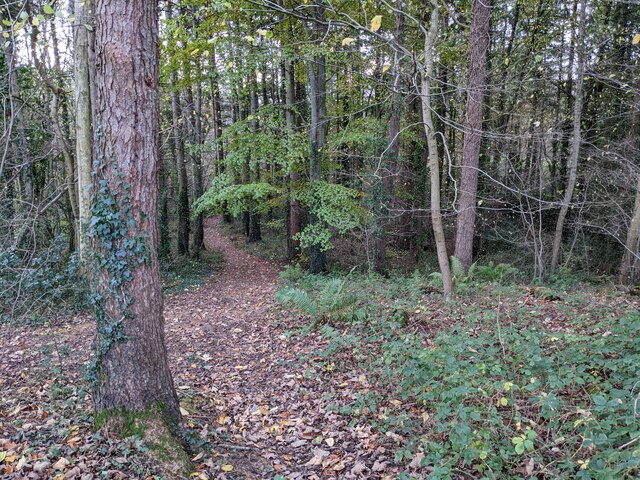
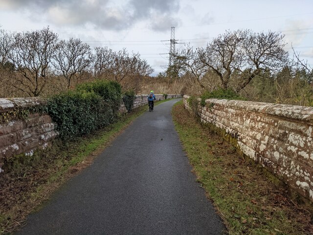
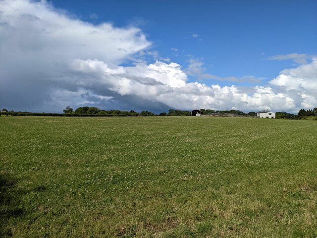
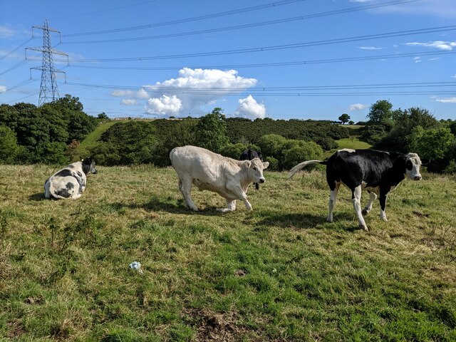
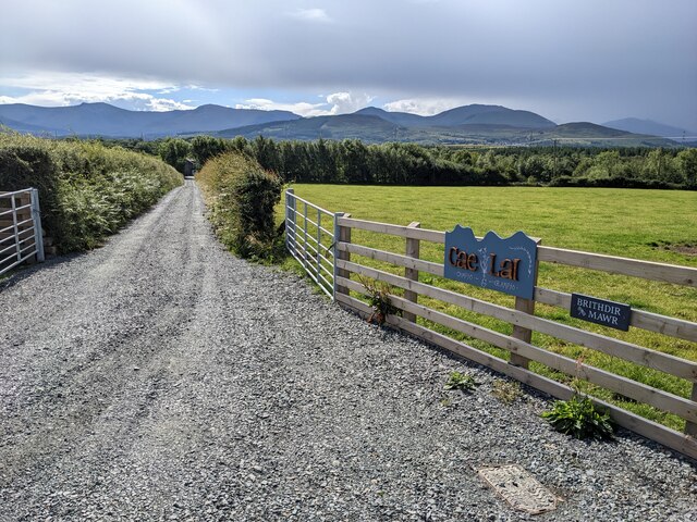
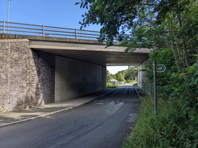
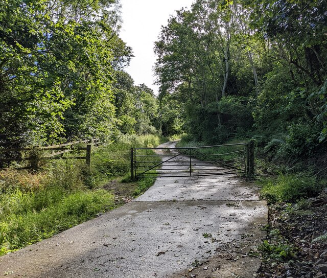
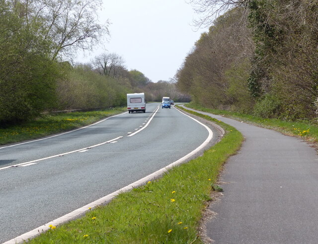
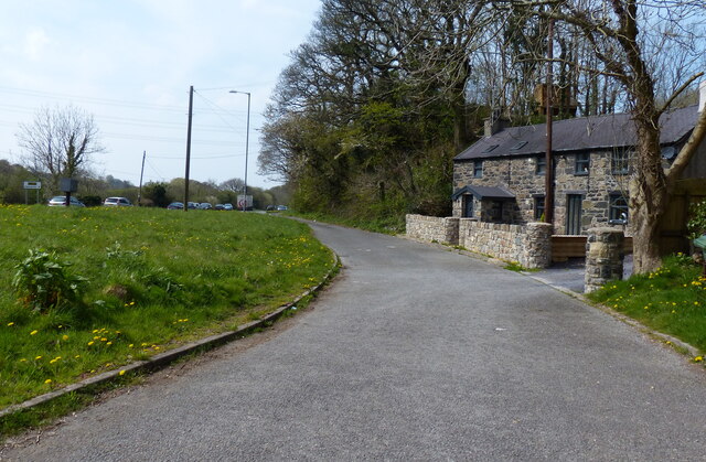
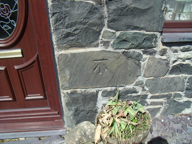
Pant-caerhun Images

Images are sourced within 2km of 53.202075/-4.139119 or Grid Reference SH5769. Thanks to Geograph Open Source API. All images are credited.

A typical road bridge over the A55, near Bangor An Eastbound view, showing the snow-covered mountains of Snowdonia ahead. This section of the A55 makes up the Bangor Bypass and opened in 1983.
A typical road bridge over the A55, near Bangor
An Eastbound view, showing the snow-covered mountains of Snowdonia ahead. This section of the A55 makes up the Bangor Bypass and opened in 1983.
Eddie Stobart truck, Bangor
Eddie Stobart tanker, Bangor kathleen Amy H5953 PF19 WDK
Eddie Stobart tanker, Bangor
kathleen Amy H5953 PF19 WDK
Lôn Las Ogwen passes under the A55
Field and houses near Lôn Las Ogwen
Solid walls on the bridge over the Afon Cegin
A good biking surface on Lôn Las Ogwen
The last of the leaves in the woodland Next to Lôn Las Ogwen.
The last of the leaves in the woodland
Next to Lôn Las Ogwen.
Sandstone walls on Lôn Las Ogwen
A large field near Fodol Newydd
Cattle near Pont Cae-cerig
The lane to Brithdir Mawr The larger sign is for Cae Lai 'campio glampio' - an invented phrase, I think! But it does sound better than 'glamping'.
The lane to Brithdir Mawr
The larger sign is for Cae Lai 'campio glampio' - an invented phrase, I think! But it does sound better than 'glamping'.
The grassy lane to Brithdir
An underpass below the A55
A bridleway next to the A55 The A55 major highway is hidden by the trees to the left.
A bridleway next to the A55
The A55 major highway is hidden by the trees to the left.
A4087 towards Y Felinheli
Llys Orwig along the A4087
Benchmark at  Four Alls, Pant-caerhun This benchmark is located on SE face of Four Alls in Pant-caerhun & it is shown in the current Ordnance Survey database at a height of 85.7890m above the Newlyn datum.
Benchmark at Four Alls, Pant-caerhun
This benchmark is located on SE face of Four Alls in Pant-caerhun & it is shown in the current Ordnance Survey database at a height of 85.7890m above the Newlyn datum.
Show me another place!

Pant-caerhun is located at Grid Ref: SH5769 (Lat: 53.202075, Lng: -4.139119)

Unitary Authority: Gwynedd

Police Authority: North Wales

Also known as: Pant Caerhun

What 3 Words

///spoiled.exhale.profited. Near Bangor, Gwynedd

Related Wikis

Glasinfryn

Glasinfryn is a small village in Gwynedd, Wales. It is situated between the village of Tregarth and the city of Bangor, Gwynedd, and in the community of...
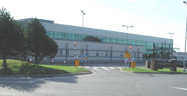
Ysbyty Gwynedd

Ysbyty Gwynedd (English: Gwynedd Hospital) is a district general hospital in Bangor, Gwynedd, Wales. It is managed by Betsi Cadwaladr University Health...

Minffordd Hospital

Minffordd Hospital (Welsh: Ysbyty Minffordd) was a health facility in Bangor, Gwynedd, Wales. It was managed by the Betsi Cadwaladr University Health Board...

Hendre (Bangor electoral ward)

Hendre is one of eight electoral wards in the city of Bangor, Gwynedd, Wales. The ward covers part of the city south of the city centre, including West...

Friars School, Bangor

Friars School is a school in Bangor, Gwynedd, and the second oldest extant school in Wales. == History == === 1557 Establishment === The school was founded...

Ysgol Tryfan

Ysgol Tryfan is a bilingual (Welsh - English) comprehensive school for pupils aged 11–18, situated in Bangor, Gwynedd. 471 pupils were enrolled at the...

Glyder (electoral ward)

Glyder is an electoral ward in the city of Bangor, Gwynedd, Wales, electing councillors to the city council and Gwynedd Council. == Description == The...

Felin Hen Halt railway station

Felin Hen Halt railway station was a station in Glasinfryn, Gwynedd, Wales on the Bethesda branch line. The station was opened on 1 July 1884 and closed...

Nearby Amenities

Located within 500m of 53.202075,-4.139119
Post Box
Operator: Royal Mail
Operator Wikidata: Q638098
Lat/Long: 53.1993357/-4.137181
Bus Stop
Bus: yes
Public Transport: platform
Lat/Long: 53.1991234/-4.1372179
Perfeddgoed
Is In: Wales
Is In Country: United Kingdom
Is In County: Gwynedd
Place: hamlet
Lat/Long: 53.2052095/-4.1404987
Power: tower
Source: Bing
Lat/Long: 53.204712/-4.1370445
Power: tower
Source: Bing
Lat/Long: 53.2040758/-4.1333967
Power: pole
Lat/Long: 53.2058927/-4.1352207
Power: pole
Lat/Long: 53.2020451/-4.1435577
Power: pole
Lat/Long: 53.2016173/-4.1445464
Power: tower
Lat/Long: 53.1985938/-4.1424897
Power: pole
Lat/Long: 53.2024483/-4.1426156
Power: pole
Lat/Long: 53.2048083/-4.1373343
Power: pole
Lat/Long: 53.2029688/-4.1414274
Power: pole
Lat/Long: 53.2026604/-4.1421355
Power: pole
Lat/Long: 53.2054269/-4.1361461
Power: tower
Lat/Long: 53.2010553/-4.1420873
Power: tower
Lat/Long: 53.2026073/-4.1417708
Power: pole
Lat/Long: 53.2039835/-4.1392032
Power: pole
Lat/Long: 53.2009714/-4.1458718
Power: pole
Lat/Long: 53.2035111/-4.1402504
Power: tower
Lat/Long: 53.2033964/-4.1401292
Power: pole
Lat/Long: 53.1993427/-4.1437072
Power: pole
Lat/Long: 53.1984655/-4.1356981
Power: pole
Lat/Long: 53.1984761/-4.1390018
Power: pole
Lat/Long: 53.1982309/-4.1381765
Power: pole
Lat/Long: 53.198745/-4.139936
Power: pole
Lat/Long: 53.1994649/-4.1450751
Caerhun
Place: village
Lat/Long: 53.1989406/-4.1357904
Power: pole
Lat/Long: 53.198982/-4.1413901
Power: pole
Lat/Long: 53.1990935/-4.1354111
Power: pole
Lat/Long: 53.1998193/-4.1351667
Power: pole
Lat/Long: 53.2006148/-4.1356769
Power: pole
Lat/Long: 53.1998541/-4.1367043
Power: pole
Lat/Long: 53.2003098/-4.1376044
Power: pole
Lat/Long: 53.2005916/-4.1381557
Power: pole
Lat/Long: 53.2008033/-4.1385943
Power: pole
Lat/Long: 53.2011931/-4.1358242
Power: pole
Lat/Long: 53.201622/-4.1359852
Power: pole
Lat/Long: 53.2026263/-4.1359921
Power: pole
Lat/Long: 53.2030216/-4.1364796
Power: pole
Lat/Long: 53.2029074/-4.1369627
Power: pole
Lat/Long: 53.2025475/-4.1374804
Power: pole
Lat/Long: 53.2035934/-4.1359747
Power: pole
Lat/Long: 53.2041239/-4.135517
Power: pole
Lat/Long: 53.2047116/-4.1348868
Power: pole
Lat/Long: 53.2037095/-4.1365112
Power: pole
Lat/Long: 53.2042259/-4.1370796
Shelter
Shelter Type: public_transport
Lat/Long: 53.1993029/-4.1371332
The data included in this document is from www.openstreetmap.org. The data is made available under ODbL.

Have you been to Pant-caerhun?

Leave your review of Pant-caerhun below (or comments, questions and feedback).