Caerhowel

Settlement in Montgomeryshire

Wales

Caerhowel

Beech trees on Ffridd Faldwyn There are many massive beeches on the old hillfort.
Beech trees on Ffridd Faldwyn Credit: Mike Parker

The requested URL returned error: 429 Too Many Requests

If you have any feedback on the listing, please let us know in the comments section below.
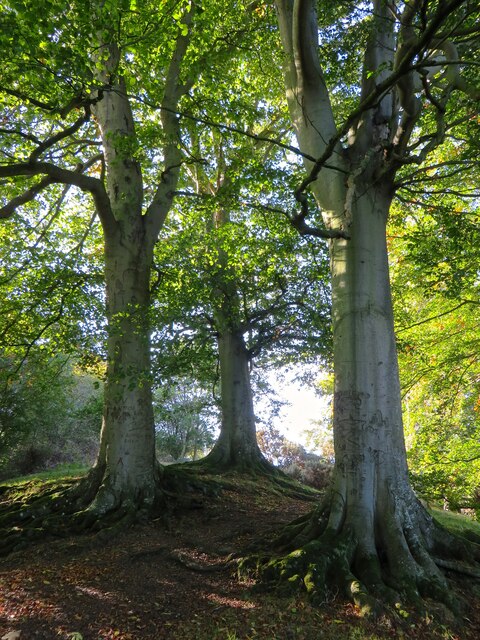
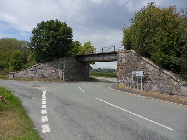
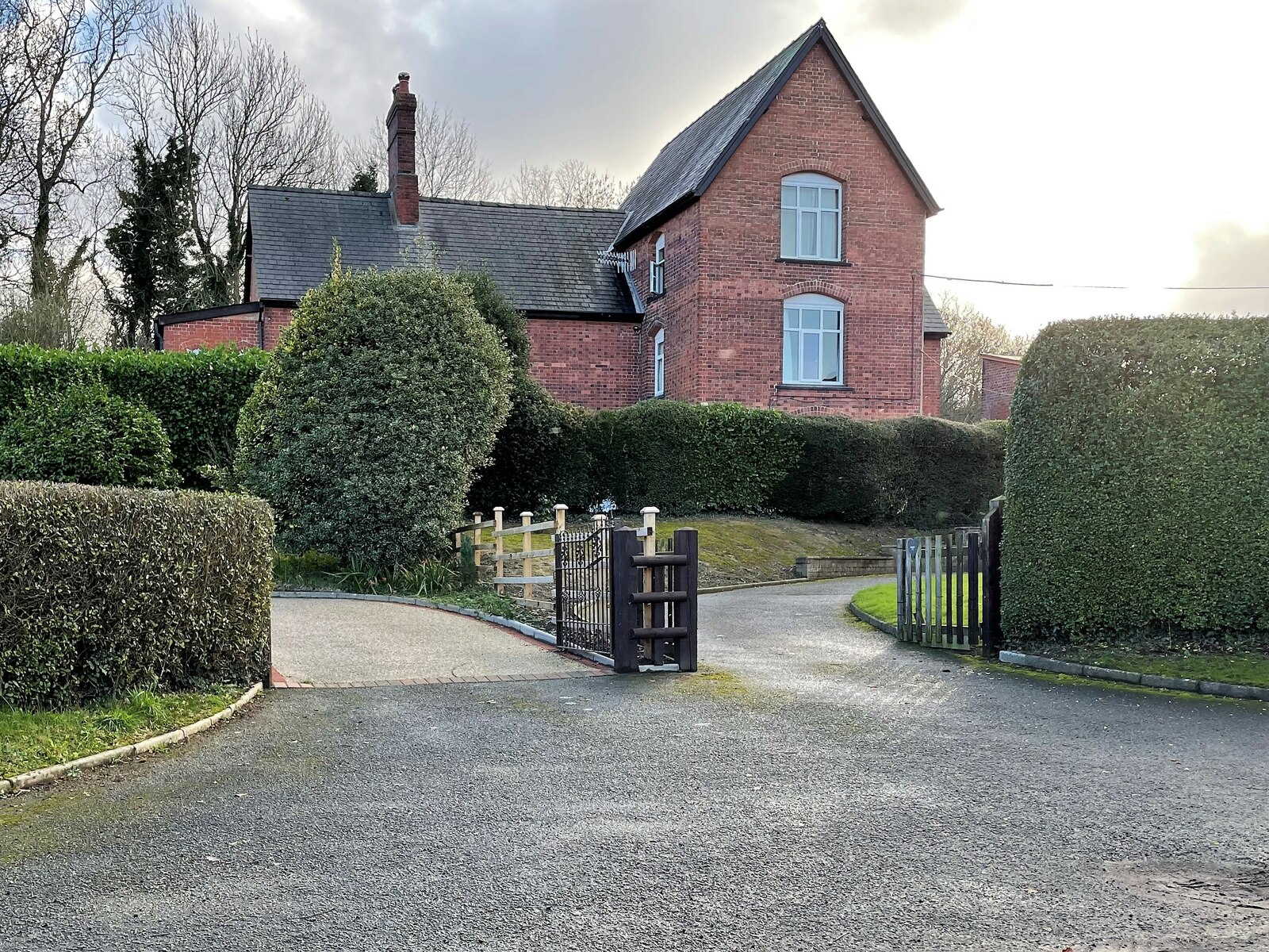
Caerhowel Images

Images are sourced within 2km of 52.575023/-3.176207 or Grid Reference SO2098. Thanks to Geograph Open Source API. All images are credited.

Beech trees on Ffridd Faldwyn There are many massive beeches on the old hillfort.
Beech trees on Ffridd Faldwyn
There are many massive beeches on the old hillfort.
Hen Domen and the Severn valley View from Ffridd Faldwyn, the Iron Age precursor of Montgomery, towards its Norman successor, the site of the original castle, the wooded mound now known as Hen Domen.
Hen Domen and the Severn valley
View from Ffridd Faldwyn, the Iron Age precursor of Montgomery, towards its Norman successor, the site of the original castle, the wooded mound now known as Hen Domen.
Lane and level crossing at Rhydwhyman Rhydwhyman is a corruption of Rhyd Chwima, "the swift ford" (which lies just the position of the photographer, on the River Severn).
Lane and level crossing at Rhydwhyman
Rhydwhyman is a corruption of Rhyd Chwima, "the swift ford" (which lies just the position of the photographer, on the River Severn).
Montgomery railway station (site), Powys Opened in 1861 by the Oswestry & Newtown Railway, soon to become part of the Cambrian Railway, this station closed in 1965.
Forecourt, from the road. Dating from 1871 when the station  was rebuilt, this is now a private residence. What is now the Shrewsbury to Machynlleth railway line is behind the building.
For more information, see <span class="nowrap"><a title="http://www.disused-stations.org.uk/m/montgomery/index.shtml" rel="nofollow ugc noopener" href="http://www.disused-stations.org.uk/m/montgomery/index.shtml">Link</a><img style="margin-left:2px;" alt="External link" title="External link - shift click to open in new window" src="https://s1.geograph.org.uk/img/external.png" width="10" height="10"/></span>.
Montgomery railway station (site), Powys
Opened in 1861 by the Oswestry & Newtown Railway, soon to become part of the Cambrian Railway, this station closed in 1965. Forecourt, from the road. Dating from 1871 when the station was rebuilt, this is now a private residence. What is now the Shrewsbury to Machynlleth railway line is behind the building. For more information, see LinkExternal link.
Barns at Rhydwhyman
Barns at Rhydwhyman
Toll Cottage, Montgomery, B4388 Former Toll House 1.5 km North of the town near the turning for the hamlet of Hendomen.
It served the Montgomery Second District Turnpike Trust in the 19ᵗʰ C.

Milestone Society National ID: POW.MON
Toll Cottage, Montgomery, B4388
Former Toll House 1.5 km North of the town near the turning for the hamlet of Hendomen. It served the Montgomery Second District Turnpike Trust in the 19ᵗʰ C. Milestone Society National ID: POW.MON
The Montgomeryshire War Memorial in May After a dry April and some heavy grazing by sheep this field is somewhat bare but still has excellent views to Town Hill and surrounding area.
The Montgomeryshire War Memorial in May
After a dry April and some heavy grazing by sheep this field is somewhat bare but still has excellent views to Town Hill and surrounding area.
Railway bridge Over the B4385
Railway bridge
Over the B4385
Upland scene near Montgomery A view from the edge of the old hillfort to Town Hill and the Montgomeryshire War Memorial.
Upland scene near Montgomery
A view from the edge of the old hillfort to Town Hill and the Montgomeryshire War Memorial.
The Montgomeryshire War Memorial in summer One of my fave spots for a picnic lunch; a quiet spot, great and thought provoking view and a life-affirming place to remember the sacrifice of others.
The Montgomeryshire War Memorial in summer
One of my fave spots for a picnic lunch; a quiet spot, great and thought provoking view and a life-affirming place to remember the sacrifice of others.
Path with view to Montgomery Castle The castle stands atop this massive rocky outcrop.
Path with view to Montgomery Castle
The castle stands atop this massive rocky outcrop.
Hendomen village and phone box
East from Hendomen village
B4385 at crossroads near Hendomen
B4385 east of Hendomen crossroads
Lane to Hendomen The lane leads of the B4385 to the tiny settlement of Hendomen. Hendomen (which translates as 'old mound' in English) was the site of the first castle at Montgomery.
Lane to Hendomen
The lane leads of the B4385 to the tiny settlement of Hendomen. Hendomen (which translates as 'old mound' in English) was the site of the first castle at Montgomery.
Farmland at Hendomen Looking down from the hamlet at Hemdonen across very wet fields.
Farmland at Hendomen
Looking down from the hamlet at Hemdonen across very wet fields.
Rhydwhyman Level Crossing This crossing is controlled by miniature red/green warning lights. If the light shows green the motorist opens the two gates, checks that the light is still showing green, and drives quickly across.
Rhydwhyman Level Crossing
This crossing is controlled by miniature red/green warning lights. If the light shows green the motorist opens the two gates, checks that the light is still showing green, and drives quickly across.
Show me another place!

Caerhowel is located at Grid Ref: SO2098 (Lat: 52.575023, Lng: -3.176207)

Unitary Authority: Powys

Police Authority: Dyfed Powys

What 3 Words

///crank.whites.pronouns. Near Welshpool, Powys

Nearby Locations

Caerhowel

Related Wikis

Montgomery railway station

Montgomery railway station served the town of Montgomery, Powys, Wales between 1861 and 1965. == History == The Oswestry and Newtown Railway (O&NR) was...

Caerhowel Bridge

Caerhowel Bridge (Welsh: Pont Caerhywel) is a two-arch cast-iron, Grade II listed bridge over the River Severn, west of Caerhowel, Powys, Wales. The 6...

Hen Domen

Hen Domen Welsh, meaning "old mound", is the site of a medieval timber motte-and-bailey castle in Powys, Wales. It is the site of the original Montgomery...

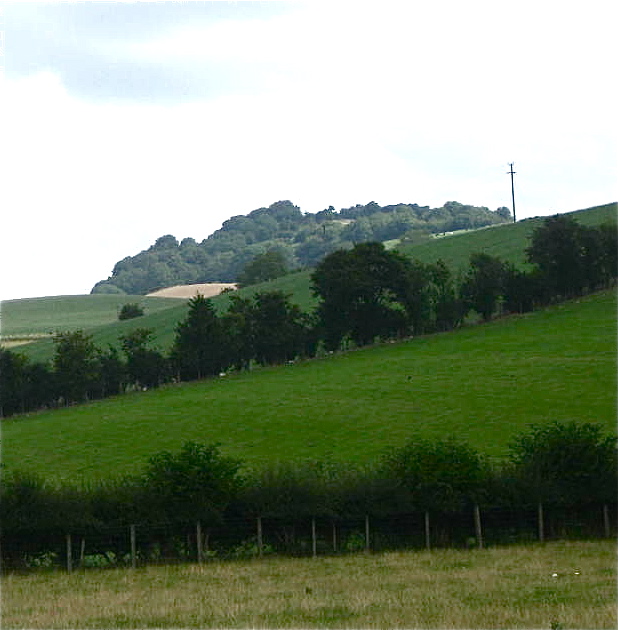
Ffridd Faldwyn, Montgomery

Ffridd Faldwyn is an Iron Age hillfort in northern Powys, in the former county of Montgomeryshire, It is sited on a prominent hill west of Montgomery,...

Nearby Amenities

Located within 500m of 52.575023,-3.176207
Give Way
Direction: forward
Lat/Long: 52.5720421/-3.1811005
Montgomery
Historic Railway: station
Railway: site
Wikidata: Q6905839
Wikipedia: en:Montgomery railway station
Lat/Long: 52.573892/-3.1748112
Give Way
Direction: forward
Lat/Long: 52.5723319/-3.1813069
Direction: SSE
Generator Method: photovoltaic
Generator Output Electricity: yes
Generator Solar Modules: 16
Generator Source: solar
Generator Type: solar_photovoltaic_panel
Location: roof
Power: generator
Lat/Long: 52.5757256/-3.1724042
Direction: SSE
Generator Method: photovoltaic
Generator Output Electricity: yes
Generator Solar Modules: 16
Generator Source: solar
Generator Type: solar_photovoltaic_panel
Location: roof
Power: generator
Lat/Long: 52.5756441/-3.1726965
Direction: ESE
Generator Method: photovoltaic
Generator Output Electricity: yes
Generator Solar Modules: 16
Generator Source: solar
Generator Type: solar_photovoltaic_panel
Location: roof
Power: generator
Lat/Long: 52.574658/-3.1747404
Direction: 170
Generator Method: photovoltaic
Generator Output Electricity: yes
Generator Solar Modules: 16
Generator Source: solar
Generator Type: solar_photovoltaic_panel
Location: roof
Power: generator
Lat/Long: 52.5756556/-3.173072
Direction: 125
Generator Method: photovoltaic
Generator Output Electricity: yes
Generator Solar Modules: 16
Generator Source: solar
Generator Type: solar_photovoltaic_panel
Location: roof
Power: generator
Lat/Long: 52.5754058/-3.1738556
Direction: 95
Generator Method: photovoltaic
Generator Output Electricity: yes
Generator Solar Modules: 21
Generator Source: solar
Generator Type: solar_photovoltaic_panel
Location: roof
Power: generator
Lat/Long: 52.5753801/-3.1748286
Caerhowel
Place: village
Lat/Long: 52.5749672/-3.1746813
Pub
The Lion Hotel
Addr City: Caerhowel
Website: https://www.facebook.com/thelionhotelcaerhowel/
Lat/Long: 52.5733154/-3.1784161
The data included in this document is from www.openstreetmap.org. The data is made available under ODbL.

Have you been to Caerhowel?

Leave your review of Caerhowel below (or comments, questions and feedback).