Caeriw
Settlement in Pembrokeshire
Wales
Caeriw
The requested URL returned error: 429 Too Many Requests
If you have any feedback on the listing, please let us know in the comments section below.
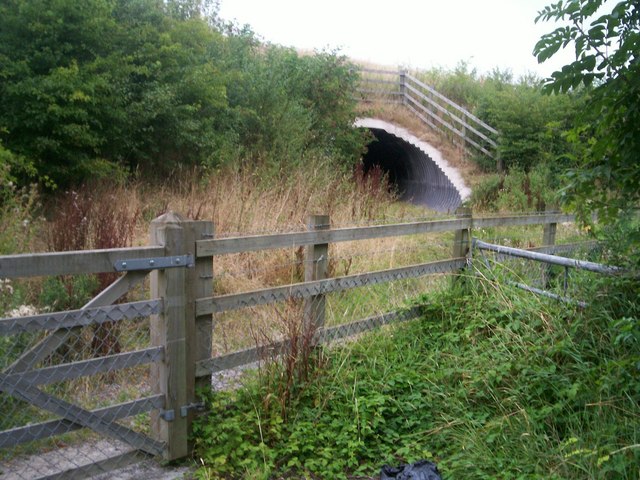
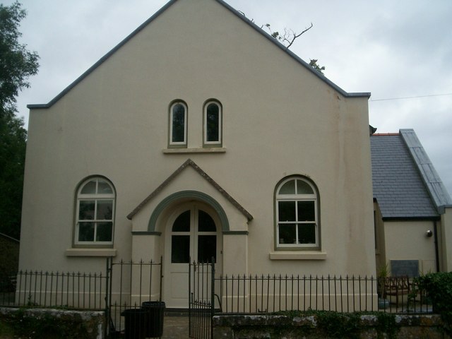
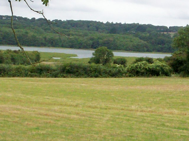
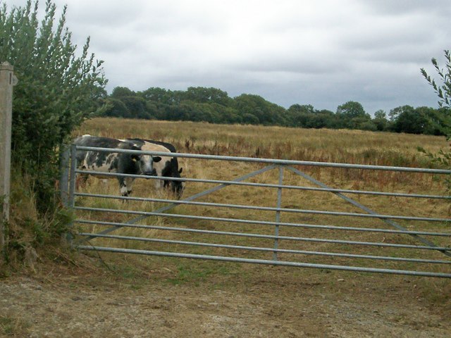
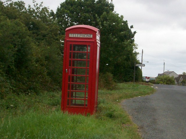
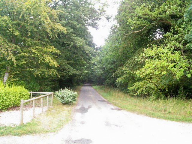
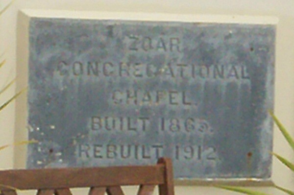
Caeriw Images
Images are sourced within 2km of 51.697351/-4.82382 or Grid Reference SN0403. Thanks to Geograph Open Source API. All images are credited.


Caeriw is located at Grid Ref: SN0403 (Lat: 51.697351, Lng: -4.82382)
Unitary Authority: Pembrokeshire
Police Authority: Dyfed Powys
Also known as: Carew
What 3 Words
///enchanted.galaxy.surpassed. Near Jeffreyston, Pembrokeshire
Nearby Locations
Related Wikis

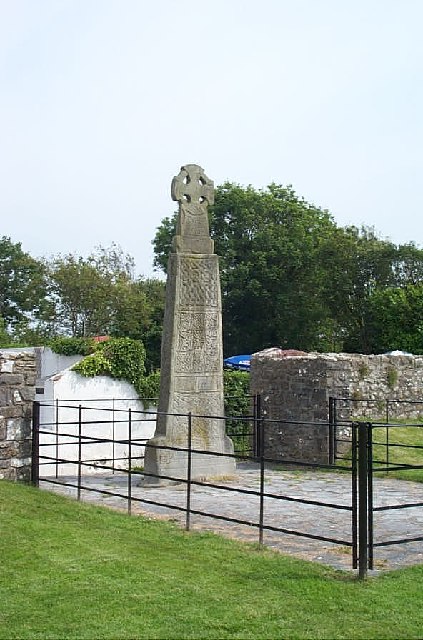
Carew Cross
Carew Cross (Welsh: Croes Caeriw) is an 11th-century Grade I listed monument in the village of Carew, Pembrokeshire, Wales. == Description == The cross...

Carew, Pembrokeshire
Carew (Welsh: Caeriw) is a village, parish and community on an inlet of Milford Haven in the former Hundred of Narberth, Pembrokeshire, West Wales, 4 miles...

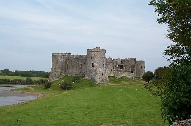
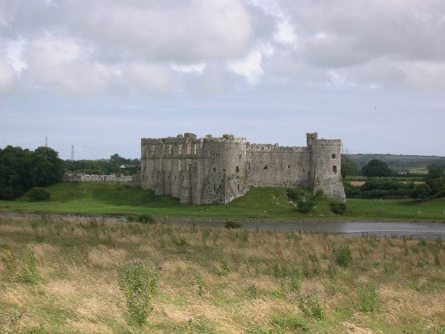
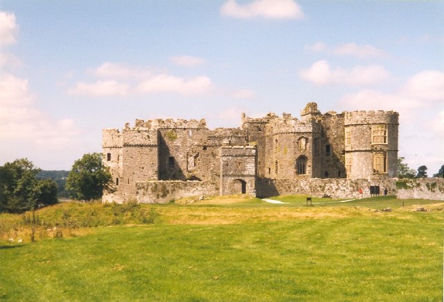
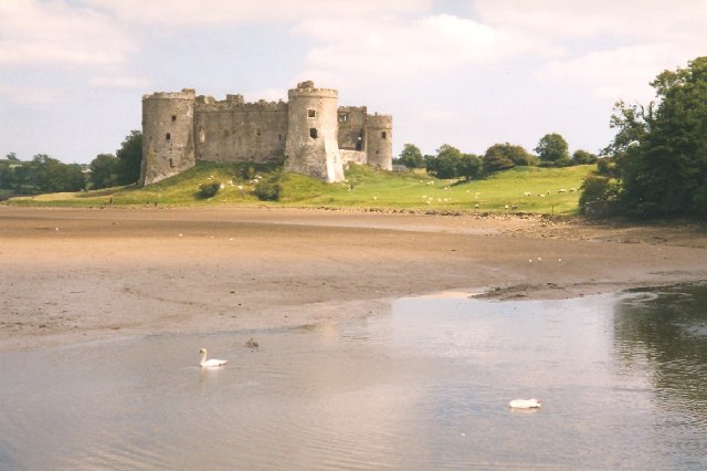
Carew Castle
Carew Castle (Welsh: Castell Caeriw) is a castle in the civil parish of Carew in Pembrokeshire, Wales. The Carew family take their name from this site...
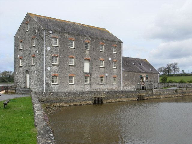
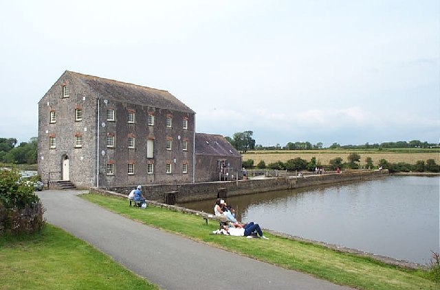
Carew Tidal Mill
Carew Tidal Mill (Welsh: Melin Caeriw), also called the French Mill, is a corn mill in Pembrokeshire, Wales, powered by tidal water. It was built around...
Nearby Amenities
Located within 500m of 51.697351,-4.82382Have you been to Caeriw?
Leave your review of Caeriw below (or comments, questions and feedback).