Carew Meadows
Downs, Moorland in Pembrokeshire
Wales
Carew Meadows
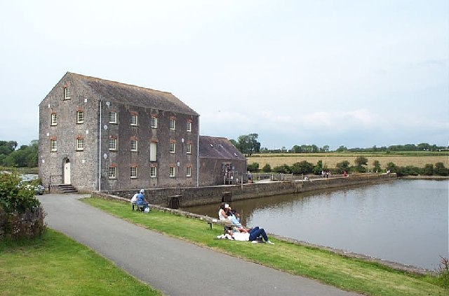
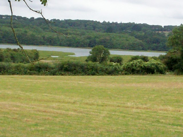
Carew Meadows in Pembrokeshire, Wales, is a picturesque area that offers a diverse and stunning landscape of downs and moorland. Located near the village of Carew, this natural beauty spot spans over a large area and is a popular destination for nature enthusiasts and hikers alike.
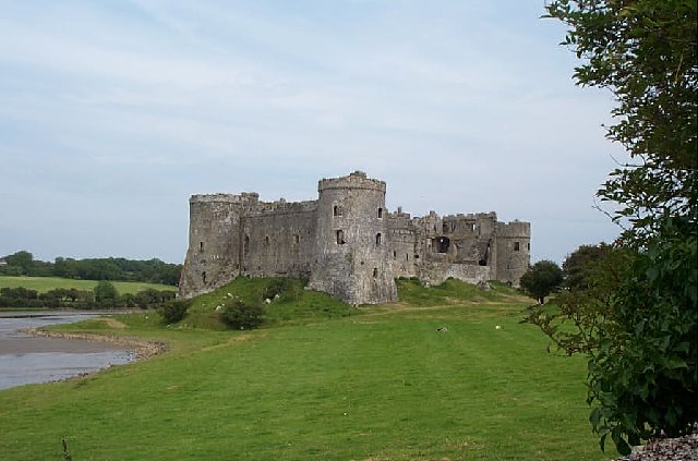
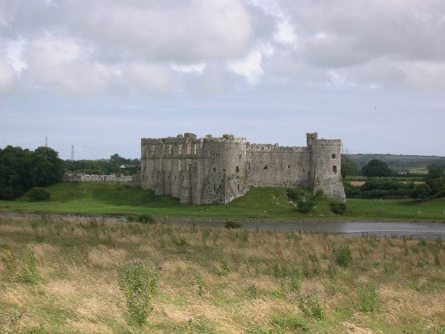
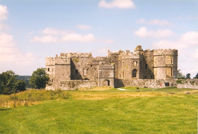
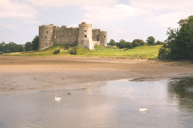
The meadows are characterized by their rolling hills covered in lush green grass and wildflowers, creating a vibrant and colorful display throughout the year. The gentle slopes provide breathtaking views of the surrounding countryside and the nearby Carew Castle, adding to the charm and appeal of the area.
The downs in Carew Meadows are notable for their exposed limestone rocks and cliffs, presenting a unique geological feature. These cliffs serve as nesting sites for various bird species, including peregrine falcons and kestrels, making it a haven for birdwatchers. The moorland, on the other hand, showcases a more rugged and wild landscape, with gorse bushes, heather, and scattered trees dotting the terrain.
Visitors to Carew Meadows can explore the area through a network of footpaths and trails that crisscross the meadows, providing opportunities for leisurely walks and challenging hikes. Along the way, they may encounter grazing livestock, such as sheep and cows, adding to the bucolic atmosphere.
Overall, Carew Meadows in Pembrokeshire is a remarkable natural gem that showcases the beauty and diversity of the Welsh countryside. Whether strolling through the downs or venturing into the moorland, visitors are sure to be captivated by the stunning scenery and rich wildlife that this area has to offer.
If you have any feedback on the listing, please let us know in the comments section below.
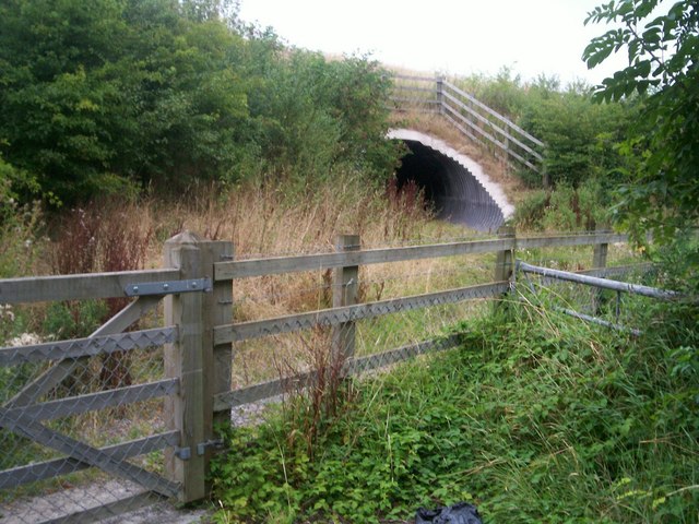
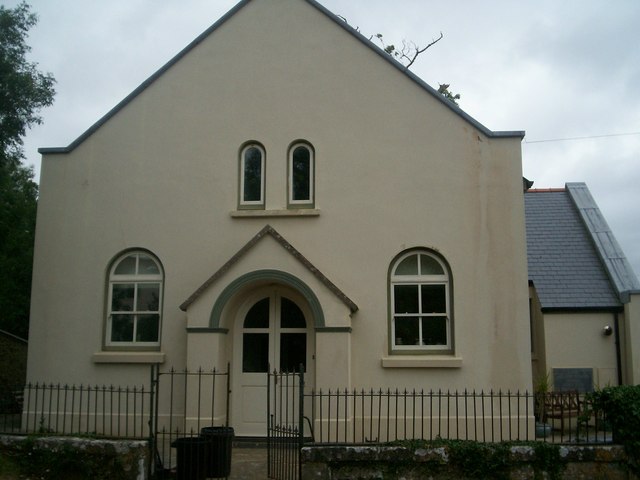
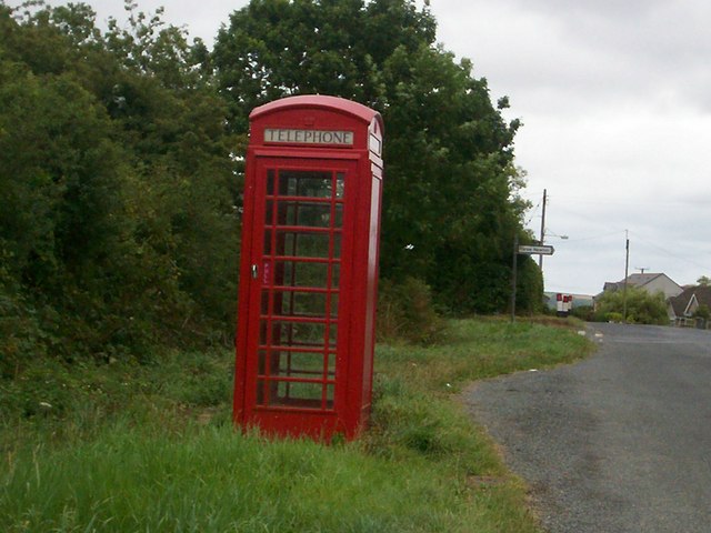
Carew Meadows Images
Images are sourced within 2km of 51.695284/-4.8268299 or Grid Reference SN0403. Thanks to Geograph Open Source API. All images are credited.


Carew Meadows is located at Grid Ref: SN0403 (Lat: 51.695284, Lng: -4.8268299)
Unitary Authority: Pembrokeshire
Police Authority: Dyfed Powys
What 3 Words
///hopping.unto.conspired. Near Jeffreyston, Pembrokeshire
Nearby Locations
Related Wikis

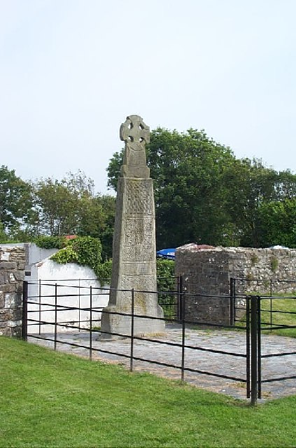
Carew Cross
Carew Cross (Welsh: Croes Caeriw) is an 11th-century Grade I listed monument in the village of Carew, Pembrokeshire, Wales. == Description == The cross...

Carew, Pembrokeshire
Carew (Welsh: Caeriw) is a village, parish and community on an inlet of Milford Haven in the former Hundred of Narberth, Pembrokeshire, West Wales, 4 miles...

Carew Castle
Carew Castle (Welsh: Castell Caeriw) is a castle in the civil parish of Carew in Pembrokeshire, Wales. The Carew family take their name from this site...

Old Mortuary Chapel, Carew
Old Mortuary Chapel is a medieval Grade I listed building in St Mary's churchyard, Carew, Pembrokeshire, Wales. == Structure == The building has two storeys...
Nearby Amenities
Located within 500m of 51.695284,-4.8268299Have you been to Carew Meadows?
Leave your review of Carew Meadows below (or comments, questions and feedback).