Clwyd Forest

Wood, Forest in Flintshire

Wales

Clwyd Forest

Tardd-y-dwr
Tardd-y-dwr Credit: David Dixon

The requested URL returned error: 429 Too Many Requests

If you have any feedback on the listing, please let us know in the comments section below.
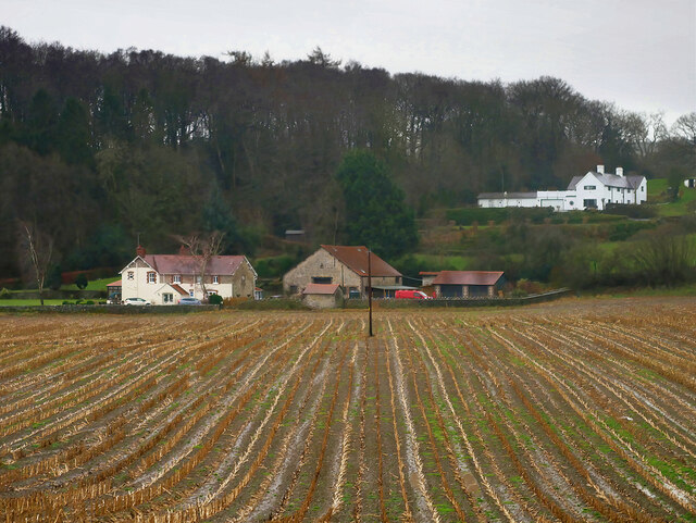
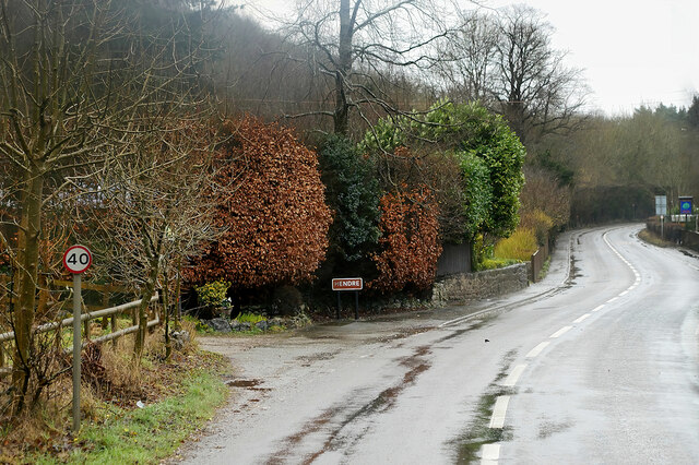
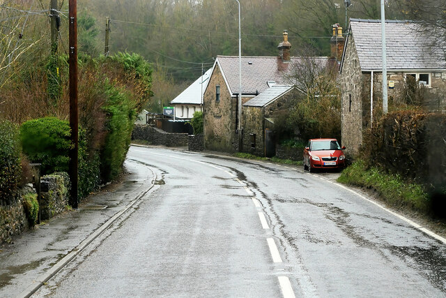
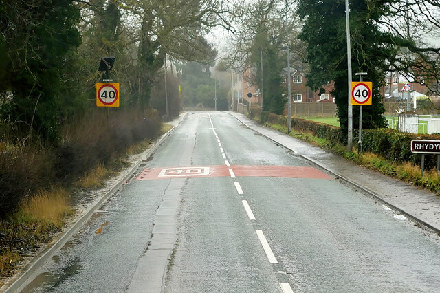
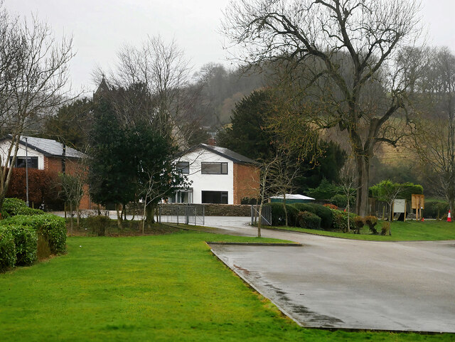
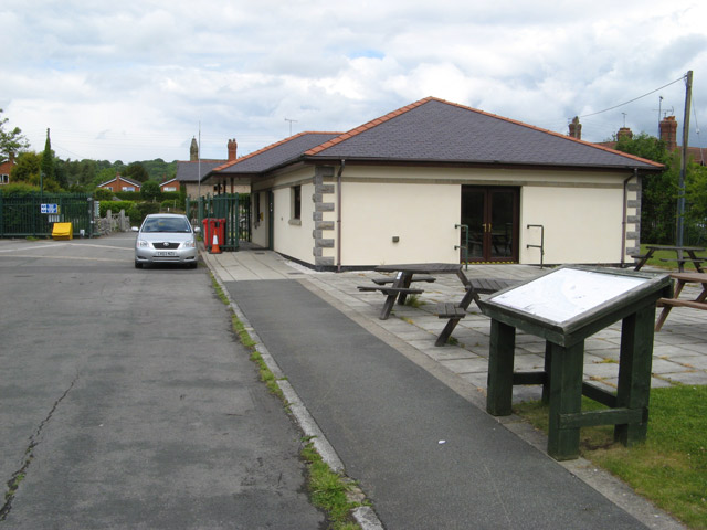
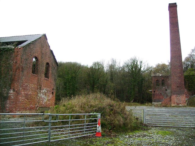
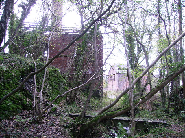
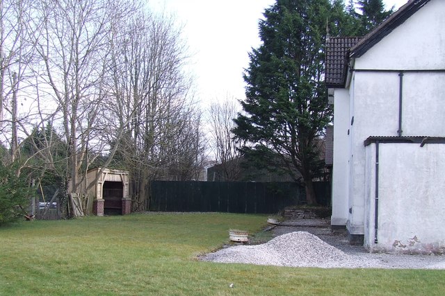
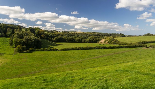
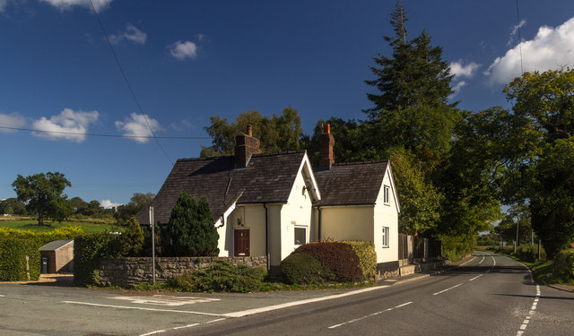
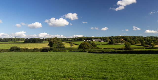
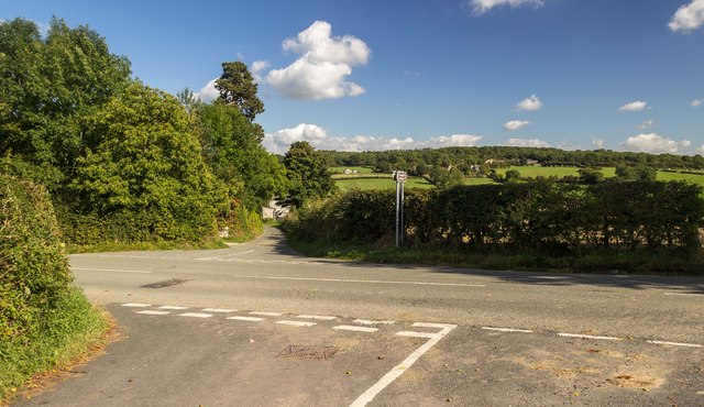
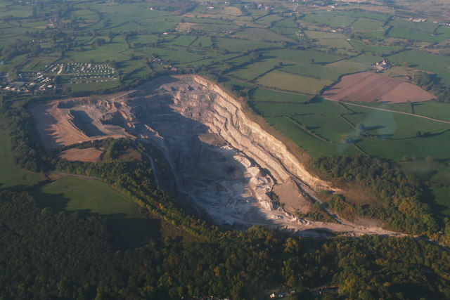
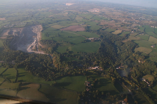
Clwyd Forest Images

Images are sourced within 2km of 53.197109/-3.2147359 or Grid Reference SJ1867. Thanks to Geograph Open Source API. All images are credited.

Tardd-y-dwr
Tardd-y-dwr
A541, Hendre The A541 runs for 26 miles, linking St Asaph with Wrexham. Its northern end starts at the crossroads in the middle of the village of Trefnant (just south of St Asaph). It ends at Wrexham, where it joins the B5101 road. On the way, it passes the town of Mold and also passes through many villages.
A541, Hendre
The A541 runs for 26 miles, linking St Asaph with Wrexham. Its northern end starts at the crossroads in the middle of the village of Trefnant (just south of St Asaph). It ends at Wrexham, where it joins the B5101 road. On the way, it passes the town of Mold and also passes through many villages.
Hendre, A541 The A541 runs for 26 miles, linking St Asaph with Wrexham. Its northern end starts at the crossroads in the middle of the village of Trefnant (just south of St Asaph). It ends at Wrexham, where it joins the B5101 road. On the way, it passes the town of Mold and also passes through many villages.
Hendre, A541
The A541 runs for 26 miles, linking St Asaph with Wrexham. Its northern end starts at the crossroads in the middle of the village of Trefnant (just south of St Asaph). It ends at Wrexham, where it joins the B5101 road. On the way, it passes the town of Mold and also passes through many villages.
A541, Rhydymwyn The A541 runs for 26 miles, linking St Asaph with Wrexham. Its northern end starts at the crossroads in the middle of the village of Trefnant (just south of St Asaph). It ends at Wrexham, where it joins the B5101 road. On the way, it passes the town of Mold and also passes through many villages.
A541, Rhydymwyn
The A541 runs for 26 miles, linking St Asaph with Wrexham. Its northern end starts at the crossroads in the middle of the village of Trefnant (just south of St Asaph). It ends at Wrexham, where it joins the B5101 road. On the way, it passes the town of Mold and also passes through many villages.
Rhydymwyn Rhydymwyn is a village located in the upper Alyn valley in Flintshire. Once a district of Mold, it was recognised as a separate parish from 1865. 

The village takes its placename from the ford across the River Alyn (now replaced by a small iron bridge); the name in Welsh means 'Ford of the Ore' (<span class="nowrap"><a title="https://en.wikipedia.org/wiki/Rhydymwyn" rel="nofollow ugc noopener" href="https://en.wikipedia.org/wiki/Rhydymwyn">Link</a><img style="margin-left:2px;" alt="External link" title="External link - shift click to open in new window" src="https://s1.geograph.org.uk/img/external.png" width="10" height="10"/></span> Wikipedia).
Rhydymwyn
Rhydymwyn is a village located in the upper Alyn valley in Flintshire. Once a district of Mold, it was recognised as a separate parish from 1865. The village takes its placename from the ford across the River Alyn (now replaced by a small iron bridge); the name in Welsh means 'Ford of the Ore' (LinkExternal link Wikipedia).
17 Nant Alyn Road The new building at the Rhydymwyn Valley nature reserve which is headquarters to the North East Wales Wildlife.
17 Nant Alyn Road
The new building at the Rhydymwyn Valley nature reserve which is headquarters to the North East Wales Wildlife.
A541 near Tardd-Y-Wyr
Engine House at Taylor's Shaft, Hendre Lead Mines Engine House built during WW1 to revive the lead mines, and another similar building. The brick chimney is very tall.
Engine House at Taylor's Shaft, Hendre Lead Mines
Engine House built during WW1 to revive the lead mines, and another similar building. The brick chimney is very tall.
Engine House at Taylor's Shaft, Hendre Lead Mines WW1 lead mining buildings taken from the footbridge over the stream
Engine House at Taylor's Shaft, Hendre Lead Mines
WW1 lead mining buildings taken from the footbridge over the stream
Rhydymwyn Station Site of the disused station at Rhydymwyn on the former railway line between Mold and Denbigh.
Rhydymwyn Station
Site of the disused station at Rhydymwyn on the former railway line between Mold and Denbigh.
Gelli Farmland near Gelli.
Gelli
Farmland near Gelli.
Railway Cottage Railway Cottage alongside the A541.
Railway Cottage
Railway Cottage alongside the A541.
Cefn-mely View of Cefn-mely farm.
Cefn-mely
View of Cefn-mely farm.
Four Crosses Crossroads at Four Crosses.
Four Crosses
Crossroads at Four Crosses.
Hersedd Farm, Hendre A view down the drive from the farmyard, towards the minor road.
Hersedd Farm, Hendre
A view down the drive from the farmyard, towards the minor road.
Show me another place!

Clwyd Forest is located at Grid Ref: SJ1867 (Lat: 53.197109, Lng: -3.2147359)

Unitary Authority: Flintshire

Police Authority: North Wales

What 3 Words

///shortcuts.shuts.whisk. Near Halkyn, Flintshire

Related Wikis

Cilcain Hall

Cilcain Hall is a country house 2 miles (3 km) north-northeast of the village of Cilcain, Flintshire, Wales (grid reference SJ185683). It was built in...

Star Crossing Halt railway station

Star Crossing Halt railway station was a station between Nannerch and Cilcain, Flintshire, Wales. The station was opened on 2 November 1914 and closed...

Rhydymwyn F.C.

Rhydymwyn F.C. is a football club from Rhydymwyn, Wales. They play in the North East Wales Football League in the tier five Championship Division. Their...

Ogof Hesp Alyn

Ogof Hesp Alyn (Welsh for: Dry Alyn Cave) was discovered by North Wales Caving Club in 1973 in the Alyn Gorge near Cilcain, Flintshire, Wales. Reaching...

Nearby Amenities

Located within 500m of 53.197109,-3.2147359
Pub
The Royal Oak
Lat/Long: 53.1998546/-3.2160546
Coed-Y-Felin nature reserve (NWWT). Small parking area (3 cars).
Lat/Long: 53.2005327/-3.2168931
Direction: W
Generator Method: photovoltaic
Generator Output Electricity: yes
Generator Solar Modules: 3
Generator Source: solar
Generator Type: solar_photovoltaic_panel
Location: roof
Power: generator
Lat/Long: 53.2002992/-3.2166841
Direction: 185
Generator Method: photovoltaic
Generator Output Electricity: yes
Generator Solar Modules: 16
Generator Source: solar
Generator Type: solar_photovoltaic_panel
Location: roof
Power: generator
Lat/Long: 53.1990968/-3.2134822
Direction: E
Generator Method: photovoltaic
Generator Output Electricity: yes
Generator Solar Modules: 6
Generator Source: solar
Generator Type: solar_photovoltaic_panel
Location: roof
Power: generator
Lat/Long: 53.2002492/-3.2166432
Direction: W
Generator Method: photovoltaic
Generator Output Electricity: yes
Generator Solar Modules: 6
Generator Source: solar
Generator Type: solar_photovoltaic_panel
Location: roof
Power: generator
Lat/Long: 53.2002504/-3.2166794
Direction: 230
Generator Method: photovoltaic
Generator Output Electricity: yes
Generator Solar Modules: 4
Generator Source: solar
Generator Type: solar_photovoltaic_panel
Location: roof
Power: generator
Lat/Long: 53.1955233/-3.2133917
Direction: 140
Generator Method: photovoltaic
Generator Output Electricity: yes
Generator Solar Modules: 4
Generator Source: solar
Generator Type: solar_photovoltaic_panel
Location: roof
Power: generator
Lat/Long: 53.1954927/-3.2133025
Direction: 140
Generator Method: photovoltaic
Generator Output Electricity: yes
Generator Solar Modules: 6
Generator Source: solar
Generator Type: solar_photovoltaic_panel
Location: roof
Power: generator
Lat/Long: 53.1954574/-3.2133796
Direction: SSE
Generator Method: photovoltaic
Generator Output Electricity: yes
Generator Solar Modules: 13
Generator Source: solar
Generator Type: solar_photovoltaic_panel
Location: roof
Power: generator
Lat/Long: 53.1948333/-3.2141018
The data included in this document is from www.openstreetmap.org. The data is made available under ODbL.

Have you been to Clwyd Forest?

Leave your review of Clwyd Forest below (or comments, questions and feedback).