Cilcain Wood
Wood, Forest in Flintshire
Wales
Cilcain Wood

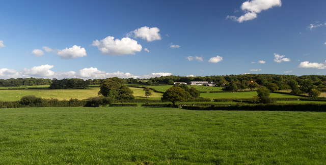
Cilcain Wood is a charming woodland located in the county of Flintshire, Wales. It covers an area of approximately 100 acres and is situated near the village of Cilcain, nestled within the Clwydian Range Area of Outstanding Natural Beauty. The wood is known for its diverse range of flora and fauna, providing a haven for nature enthusiasts and wildlife alike.
The wood features a mix of deciduous and coniferous trees, including oak, beech, birch, and spruce, creating a beautiful tapestry of colors throughout the seasons. The forest floor is covered in a lush carpet of wildflowers, such as bluebells and primroses, adding to the enchanting atmosphere.
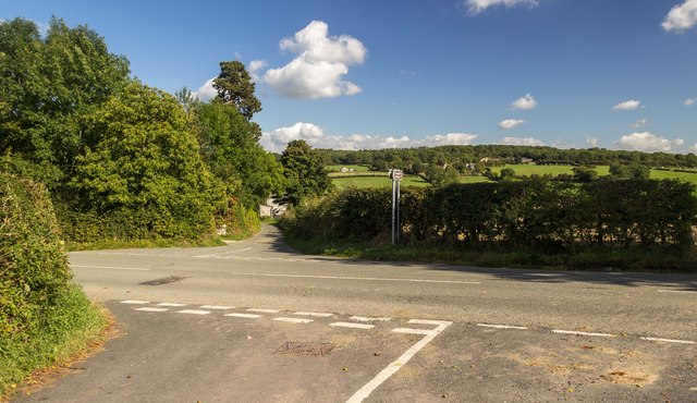
Walking trails wind their way through the wood, allowing visitors to explore its beauty at their own pace. These trails provide opportunities to spot various species of birds, including woodpeckers, owls, and songbirds. Squirrels and rabbits can also be seen darting through the undergrowth.
Cilcain Wood is a popular destination for outdoor activities, such as hiking, picnicking, and nature photography. It offers a peaceful escape from the hustle and bustle of everyday life, providing a tranquil setting for relaxation and reflection.
The wood is managed by a local conservation organization, ensuring its preservation and the protection of its wildlife. The organization also organizes educational programs and guided walks to raise awareness about the importance of woodland habitats.
Overall, Cilcain Wood is a delightful natural treasure, offering a serene and picturesque experience for visitors to enjoy the wonders of nature in Flintshire.
If you have any feedback on the listing, please let us know in the comments section below.
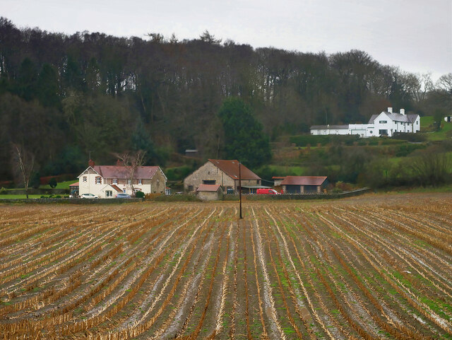
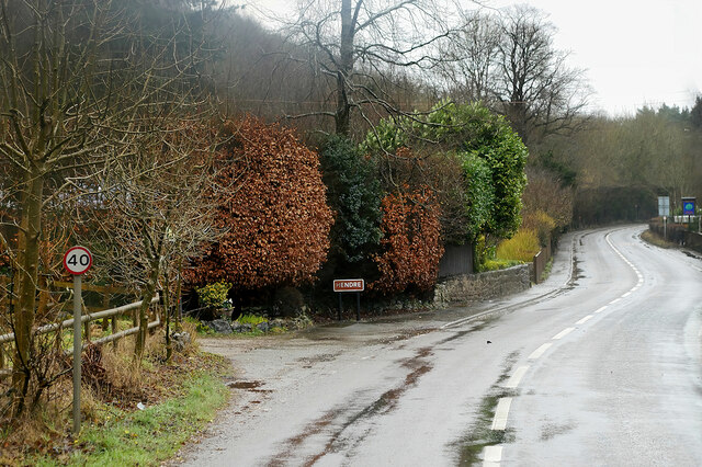
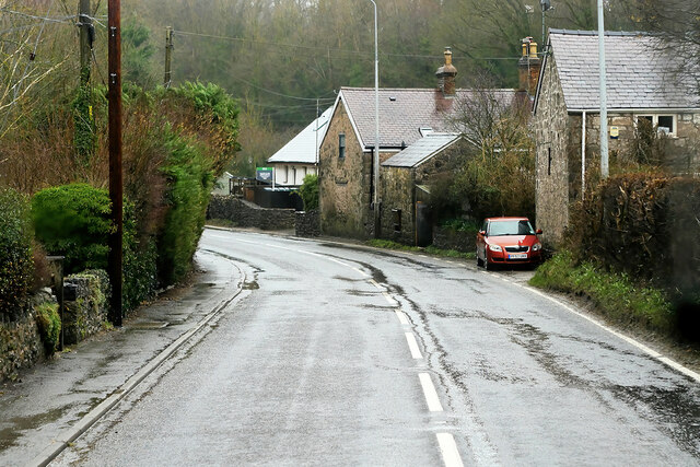
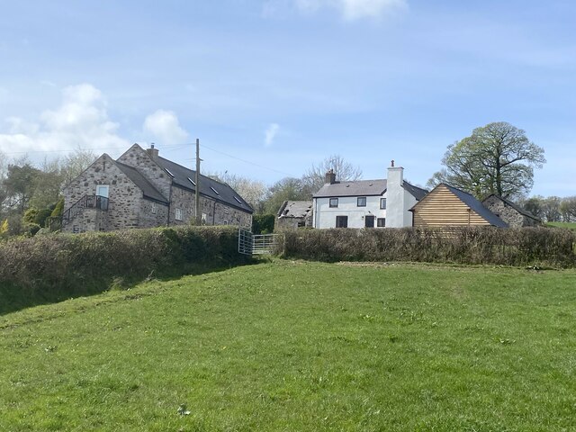
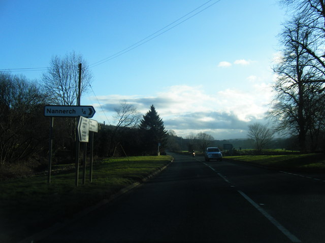
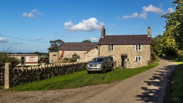
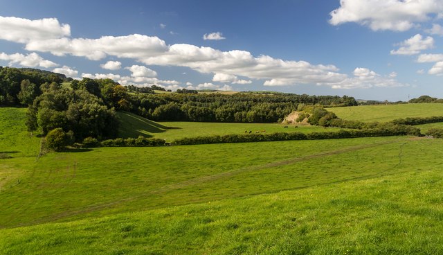
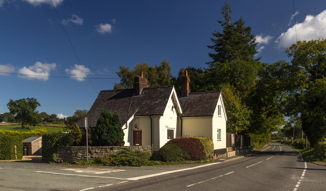
Cilcain Wood Images
Images are sourced within 2km of 53.196761/-3.2276897 or Grid Reference SJ1867. Thanks to Geograph Open Source API. All images are credited.


Cilcain Wood is located at Grid Ref: SJ1867 (Lat: 53.196761, Lng: -3.2276897)
Unitary Authority: Flintshire
Police Authority: North Wales
What 3 Words
///gender.likening.convey. Near Halkyn, Flintshire
Nearby Locations
Related Wikis

Star Crossing Halt railway station
Star Crossing Halt railway station was a station between Nannerch and Cilcain, Flintshire, Wales. The station was opened on 2 November 1914 and closed...
Cilcain Hall
Cilcain Hall is a country house 2 miles (3 km) north-northeast of the village of Cilcain, Flintshire, Wales (grid reference SJ185683). It was built in...
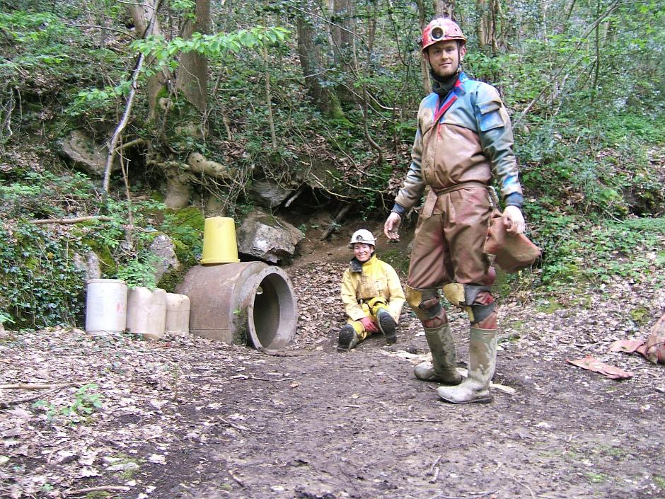
Ogof Nadolig
Ogof Nadolig is a cave in the Alyn Gorge near Cilcain, Flintshire, Wales. It is mostly crawling, 300 metres (980 ft) long, and ends with a shaft up to...
Nannerch railway station
Nannerch railway station was a station in Nannerch, Flintshire, Wales. The station was opened on 6 September 1869 and closed on 30 April 1962. == References... ==
Ogof Hen Ffynhonnau
Ogof Hen Ffynhonnau (sometimes known in English as Poacher's Cave) lies in the Alyn Gorge in Flintshire, Wales close to Ogof Hesp Alyn. It was discovered...

Clwydian Range
The Clwydian Range (Welsh: Bryniau Clwyd; also known as the Clwydian Hills; or simply the Clwyds) is a series of hills in the north-east of Wales that...
Ogof Hesp Alyn
Ogof Hesp Alyn (Welsh for: Dry Alyn Cave) was discovered by North Wales Caving Club in 1973 in the Alyn Gorge near Cilcain, Flintshire, Wales. Reaching...
Mold and Denbigh Junction Railway
The Mold and Denbigh Junction Railway was a railway company that built a 16-mile (26 km) railway line in North Wales. It formed a link between the Mold...
Nearby Amenities
Located within 500m of 53.196761,-3.2276897Have you been to Cilcain Wood?
Leave your review of Cilcain Wood below (or comments, questions and feedback).