Coed Fron-drain

Wood, Forest in Flintshire

Wales

Coed Fron-drain

A541, Nannerch The A541 runs for 26 miles, linking St Asaph with Wrexham. Its northern end starts at the crossroads in the middle of the village of Trefnant (just south of St Asaph). It ends at Wrexham, where it joins the B5101 road. On the way, it passes the town of Mold and also passes through many villages.
A541, Nannerch Credit: David Dixon

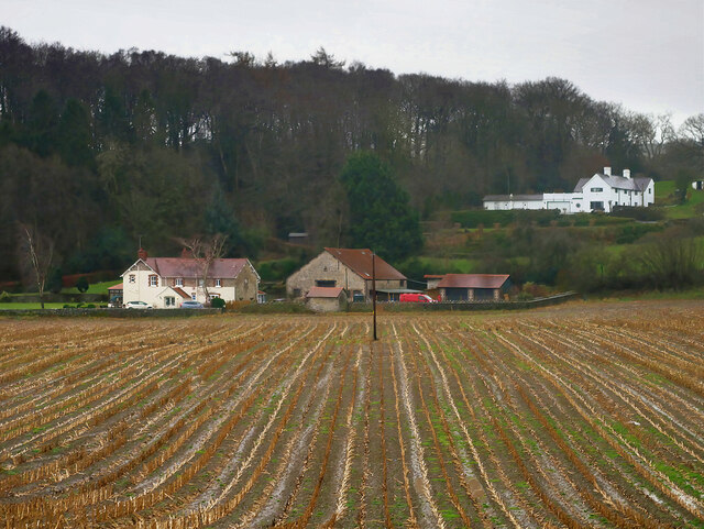
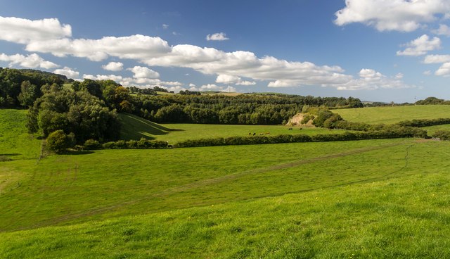
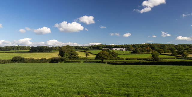
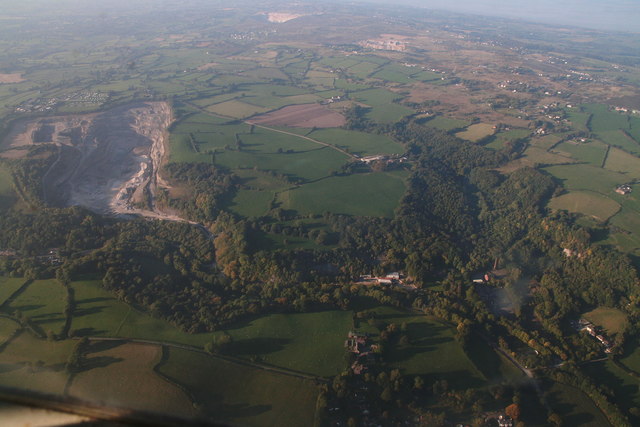
Coed Fron-drain is a picturesque woodland located in Flintshire, Wales. Spanning over an area of approximately 100 acres, it is a true haven for nature lovers and outdoor enthusiasts. The woodland is situated within the larger Clwydian Range and Dee Valley Area of Outstanding Natural Beauty, ensuring its preservation and protection.

The woodland is characterized by its dense canopy of deciduous and coniferous trees, creating a stunning tapestry of colors throughout the year. Ancient oak and beech trees dominate the landscape, providing a habitat for a wide variety of flora and fauna. The forest floor is adorned with a rich carpet of wildflowers, including bluebells, primroses, and wood anemones, adding to the enchanting atmosphere of the woodland.

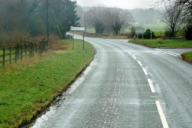
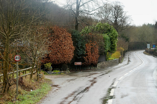
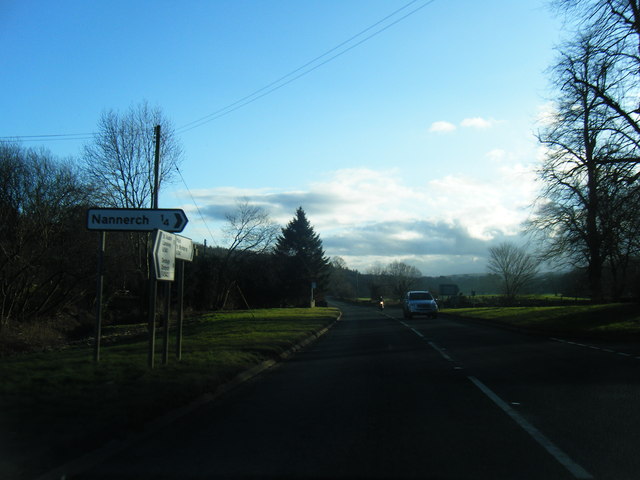
Coed Fron-drain offers a network of well-maintained trails and footpaths, allowing visitors to explore its beauty at their own pace. The paths wind through the forest, crossing babbling brooks and passing by hidden glades, creating a sense of tranquility and escape from the outside world. It is a popular spot for hiking, nature walks, and birdwatching.

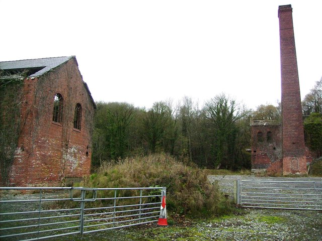
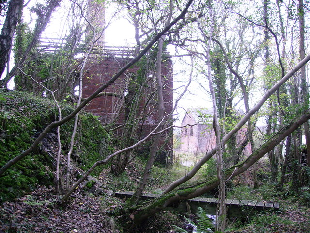
The woodland is not only a natural paradise but also holds historical significance. Ruins of a medieval settlement can be found within its boundaries, providing a glimpse into the area's past. The site is also home to a variety of wildlife, including deer, squirrels, and a multitude of bird species.

Coed Fron-drain is a true gem of Flintshire, offering a sanctuary for both nature enthusiasts and history buffs alike. Its natural beauty and diverse ecosystem make it a must-visit destination for anyone seeking a peaceful retreat in the heart of the Welsh countryside.

If you have any feedback on the listing, please let us know in the comments section below.

Coed Fron-drain Images

Images are sourced within 2km of 53.201306/-3.2210676 or Grid Reference SJ1867. Thanks to Geograph Open Source API. All images are credited.

A541, Nannerch The A541 runs for 26 miles, linking St Asaph with Wrexham. Its northern end starts at the crossroads in the middle of the village of Trefnant (just south of St Asaph). It ends at Wrexham, where it joins the B5101 road. On the way, it passes the town of Mold and also passes through many villages.
A541, Nannerch
The A541 runs for 26 miles, linking St Asaph with Wrexham. Its northern end starts at the crossroads in the middle of the village of Trefnant (just south of St Asaph). It ends at Wrexham, where it joins the B5101 road. On the way, it passes the town of Mold and also passes through many villages.
A451 east of Nannerch The A541 runs for 26 miles, linking St Asaph with Wrexham. Its northern end starts at the crossroads in the middle of the village of Trefnant (just south of St Asaph). It ends at Wrexham, where it joins the B5101 road. On the way, it passes the town of Mold and also passes through many villages.
A451 east of Nannerch
The A541 runs for 26 miles, linking St Asaph with Wrexham. Its northern end starts at the crossroads in the middle of the village of Trefnant (just south of St Asaph). It ends at Wrexham, where it joins the B5101 road. On the way, it passes the town of Mold and also passes through many villages.
Tardd-y-dwr
Tardd-y-dwr
A541, Hendre The A541 runs for 26 miles, linking St Asaph with Wrexham. Its northern end starts at the crossroads in the middle of the village of Trefnant (just south of St Asaph). It ends at Wrexham, where it joins the B5101 road. On the way, it passes the town of Mold and also passes through many villages.
A541, Hendre
The A541 runs for 26 miles, linking St Asaph with Wrexham. Its northern end starts at the crossroads in the middle of the village of Trefnant (just south of St Asaph). It ends at Wrexham, where it joins the B5101 road. On the way, it passes the town of Mold and also passes through many villages.
Hendre, A541 The A541 runs for 26 miles, linking St Asaph with Wrexham. Its northern end starts at the crossroads in the middle of the village of Trefnant (just south of St Asaph). It ends at Wrexham, where it joins the B5101 road. On the way, it passes the town of Mold and also passes through many villages.
Hendre, A541
The A541 runs for 26 miles, linking St Asaph with Wrexham. Its northern end starts at the crossroads in the middle of the village of Trefnant (just south of St Asaph). It ends at Wrexham, where it joins the B5101 road. On the way, it passes the town of Mold and also passes through many villages.
A541 south of Nannerch
A541 near Tardd-Y-Wyr
Engine House at Taylor's Shaft, Hendre Lead Mines Engine House built during WW1 to revive the lead mines, and another similar building. The brick chimney is very tall.
Engine House at Taylor's Shaft, Hendre Lead Mines
Engine House built during WW1 to revive the lead mines, and another similar building. The brick chimney is very tall.
Engine House at Taylor's Shaft, Hendre Lead Mines WW1 lead mining buildings taken from the footbridge over the stream
Engine House at Taylor's Shaft, Hendre Lead Mines
WW1 lead mining buildings taken from the footbridge over the stream
Gelli-bach Farmhouse under renovation at Gelli-bach.
Gelli-bach
Farmhouse under renovation at Gelli-bach.
Gelli Farmland near Gelli.
Gelli
Farmland near Gelli.
Railway Cottage Railway Cottage alongside the A541.
Railway Cottage
Railway Cottage alongside the A541.
Cefn-mely View of Cefn-mely farm.
Cefn-mely
View of Cefn-mely farm.
Hersedd Farm, Hendre A view down the drive from the farmyard, towards the minor road.
Hersedd Farm, Hendre
A view down the drive from the farmyard, towards the minor road.
View of minor road from Hersedd Farm The minor road runs from Moel-y-crio to the A541 Mold–Denbigh road.
View of minor road from Hersedd Farm
The minor road runs from Moel-y-crio to the A541 Mold–Denbigh road.
Show me another place!

Coed Fron-drain is located at Grid Ref: SJ1867 (Lat: 53.201306, Lng: -3.2210676)

Unitary Authority: Flintshire

Police Authority: North Wales

What 3 Words

///blink.vocally.upgrading. Near Halkyn, Flintshire

Related Wikis

Cilcain Hall

Cilcain Hall is a country house 2 miles (3 km) north-northeast of the village of Cilcain, Flintshire, Wales (grid reference SJ185683). It was built in...

Star Crossing Halt railway station

Star Crossing Halt railway station was a station between Nannerch and Cilcain, Flintshire, Wales. The station was opened on 2 November 1914 and closed...

Nannerch railway station

Nannerch railway station was a station in Nannerch, Flintshire, Wales. The station was opened on 6 September 1869 and closed on 30 April 1962. == References... ==

Mold and Denbigh Junction Railway

The Mold and Denbigh Junction Railway was a railway company that built a 16-mile (26 km) railway line in North Wales. It formed a link between the Mold...

Rhydymwyn F.C.

Rhydymwyn F.C. is a football club from Rhydymwyn, Wales. They play in the North East Wales Football League in the tier five Championship Division. Their...
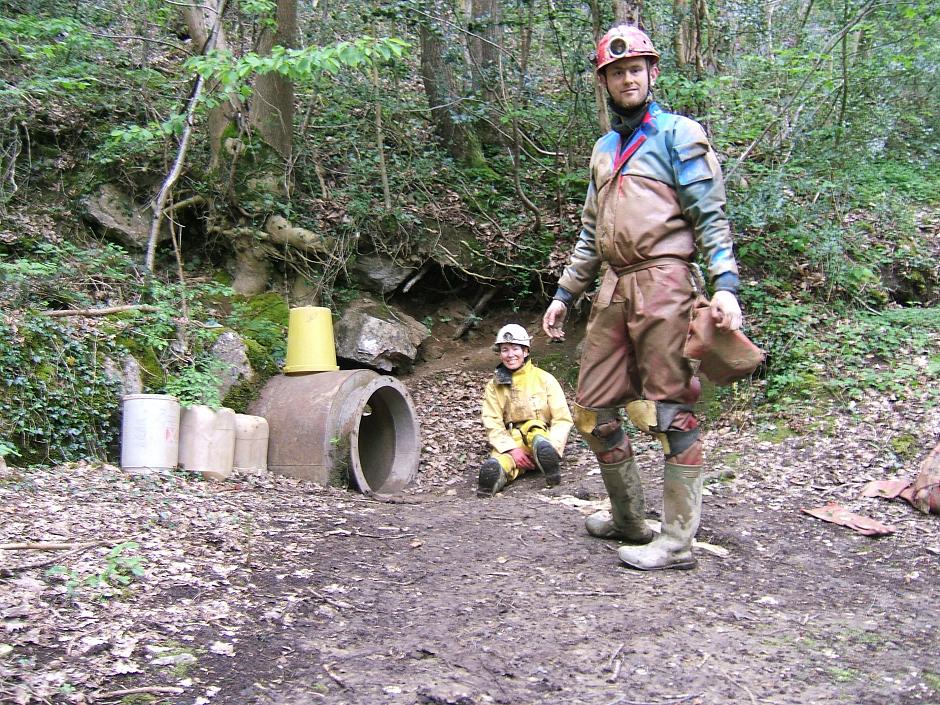
Ogof Nadolig

Ogof Nadolig is a cave in the Alyn Gorge near Cilcain, Flintshire, Wales. It is mostly crawling, 300 metres (980 ft) long, and ends with a shaft up to...

Ogof Hesp Alyn

Ogof Hesp Alyn (Welsh for: Dry Alyn Cave) was discovered by North Wales Caving Club in 1973 in the Alyn Gorge near Cilcain, Flintshire, Wales. Reaching...

Ogof Hen Ffynhonnau

Ogof Hen Ffynhonnau (sometimes known in English as Poacher's Cave) lies in the Alyn Gorge in Flintshire, Wales close to Ogof Hesp Alyn. It was discovered...

Nearby Amenities

Located within 500m of 53.201306,-3.2210676
Pub
The Royal Oak
Lat/Long: 53.1998546/-3.2160546
Coed-Y-Felin nature reserve (NWWT). Small parking area (3 cars).
Lat/Long: 53.2005327/-3.2168931
Direction: W
Generator Method: photovoltaic
Generator Output Electricity: yes
Generator Solar Modules: 3
Generator Source: solar
Generator Type: solar_photovoltaic_panel
Location: roof
Power: generator
Lat/Long: 53.2002992/-3.2166841
Direction: E
Generator Method: photovoltaic
Generator Output Electricity: yes
Generator Solar Modules: 6
Generator Source: solar
Generator Type: solar_photovoltaic_panel
Location: roof
Power: generator
Lat/Long: 53.2002492/-3.2166432
Direction: W
Generator Method: photovoltaic
Generator Output Electricity: yes
Generator Solar Modules: 6
Generator Source: solar
Generator Type: solar_photovoltaic_panel
Location: roof
Power: generator
Lat/Long: 53.2002504/-3.2166794
The data included in this document is from www.openstreetmap.org. The data is made available under ODbL.

Have you been to Coed Fron-drain?

Leave your review of Coed Fron-drain below (or comments, questions and feedback).