Coed Mwynbwll
Wood, Forest in Flintshire
Wales
Coed Mwynbwll
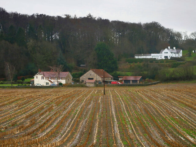
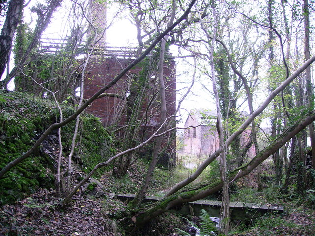
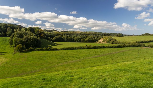
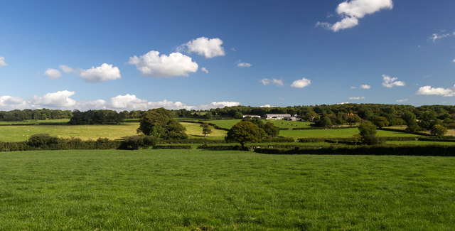
Coed Mwynbwll, located in Flintshire, Wales, is a picturesque woodland area known for its natural beauty and rich history. Covering an area of approximately 100 hectares, this enchanting forest is a haven for nature enthusiasts and history buffs alike.
The woodland, which translates to "Wood of the Pleasure Palace" in English, boasts a diverse range of tree species, including oak, birch, and beech, creating a vibrant and serene atmosphere. The forest's lush greenery provides a home to a variety of wildlife, including red squirrels, badgers, and numerous bird species, making it a popular spot for birdwatching and wildlife photography.
Coed Mwynbwll has a captivating history that dates back centuries. The forest was once part of the estate of the Lady of Mold, and remnants of a medieval deer park can still be found within its boundaries. Additionally, the site has archaeological significance, with traces of prehistoric settlements and ancient burial mounds discovered in the area.
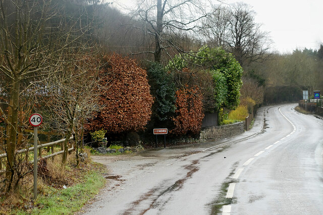
Visitors to Coed Mwynbwll can explore its many walking trails and enjoy the tranquility of the surroundings. The forest offers a range of recreational activities, including hiking, cycling, and picnicking, making it an ideal destination for families and outdoor enthusiasts. Interpretative signs are strategically placed throughout the forest, providing interesting facts and insights into the area's natural and historical features.
Overall, Coed Mwynbwll is a captivating woodland retreat that offers a unique blend of natural beauty and historical charm. Whether one seeks a peaceful stroll through nature or a glimpse into the past, this Flintshire gem is sure to leave a lasting impression.
If you have any feedback on the listing, please let us know in the comments section below.
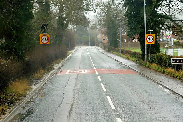
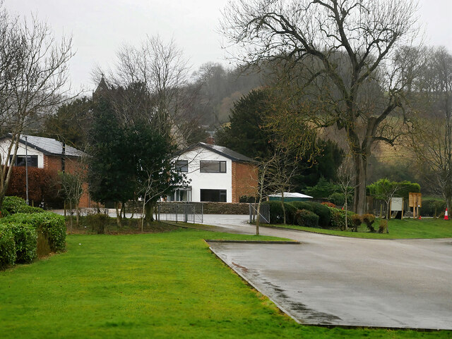
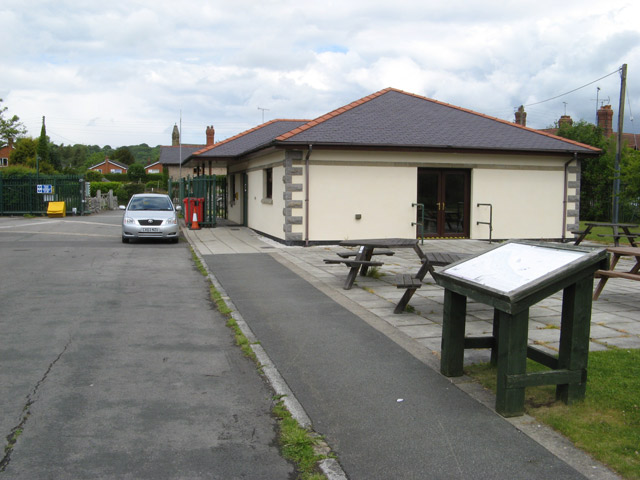
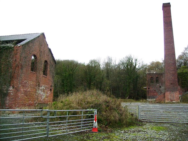
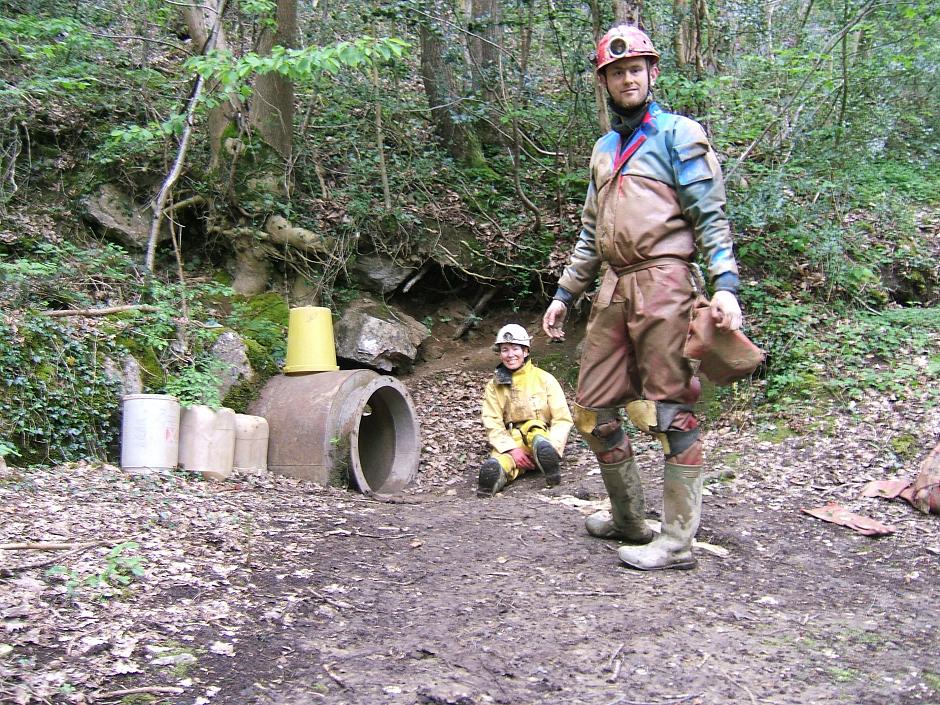
Coed Mwynbwll Images
Images are sourced within 2km of 53.195483/-3.2198842 or Grid Reference SJ1867. Thanks to Geograph Open Source API. All images are credited.


Coed Mwynbwll is located at Grid Ref: SJ1867 (Lat: 53.195483, Lng: -3.2198842)
Unitary Authority: Flintshire
Police Authority: North Wales
What 3 Words
///encloses.fizzy.code. Near Halkyn, Flintshire
Nearby Locations
Related Wikis

Cilcain Hall
Cilcain Hall is a country house 2 miles (3 km) north-northeast of the village of Cilcain, Flintshire, Wales (grid reference SJ185683). It was built in...
Star Crossing Halt railway station
Star Crossing Halt railway station was a station between Nannerch and Cilcain, Flintshire, Wales. The station was opened on 2 November 1914 and closed...
Ogof Nadolig
Ogof Nadolig is a cave in the Alyn Gorge near Cilcain, Flintshire, Wales. It is mostly crawling, 300 metres (980 ft) long, and ends with a shaft up to...
Ogof Hen Ffynhonnau
Ogof Hen Ffynhonnau (sometimes known in English as Poacher's Cave) lies in the Alyn Gorge in Flintshire, Wales close to Ogof Hesp Alyn. It was discovered...
Ogof Hesp Alyn
Ogof Hesp Alyn (Welsh for: Dry Alyn Cave) was discovered by North Wales Caving Club in 1973 in the Alyn Gorge near Cilcain, Flintshire, Wales. Reaching...
Rhydymwyn F.C.
Rhydymwyn F.C. is a football club from Rhydymwyn, Wales. They play in the North East Wales Football League in the tier five Championship Division. Their...

Rhydymwyn railway station
Rhydymwyn railway station was a station in Rhydymwyn, Flintshire, Wales. The station was opened on 6 September 1869, closed to passengers on 30 April 1962...
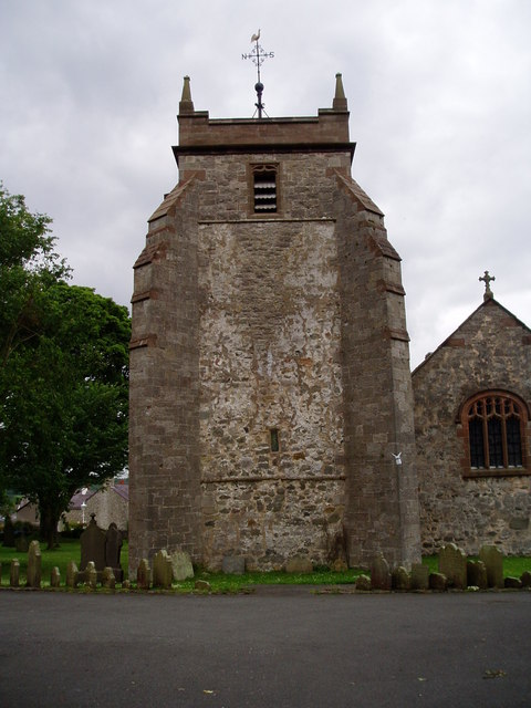
St Mary's Church, Cilcain
St Mary's Church, Cilcain, is in the village of Cilcain, Flintshire, Wales. It is an active Anglican church in the Bro Famau group of parishes, in the...
Nearby Amenities
Located within 500m of 53.195483,-3.2198842Have you been to Coed Mwynbwll?
Leave your review of Coed Mwynbwll below (or comments, questions and feedback).