Coed Dafarn-galed

Wood, Forest in Flintshire

Wales

Coed Dafarn-galed

A541, Nannerch The A541 runs for 26 miles, linking St Asaph with Wrexham. Its northern end starts at the crossroads in the middle of the village of Trefnant (just south of St Asaph). It ends at Wrexham, where it joins the B5101 road. On the way, it passes the town of Mold and also passes through many villages.
A541, Nannerch Credit: David Dixon

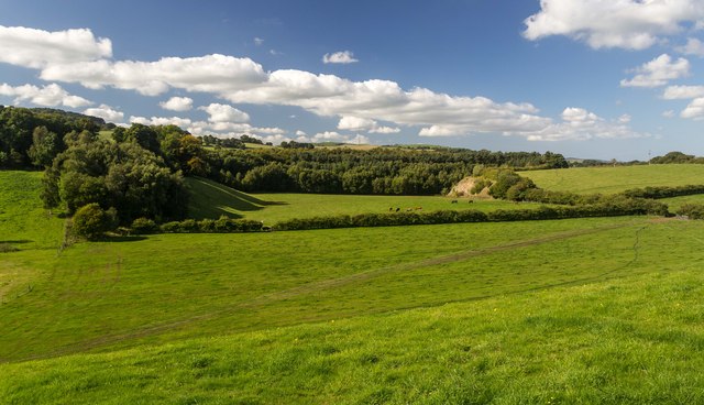
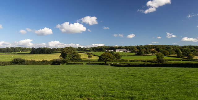
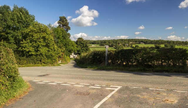
Coed Dafarn-galed is a woodland situated in the county of Flintshire, Wales. Covering an area of approximately 50 hectares, it is nestled within the picturesque Clwydian Range and Dee Valley Area of Outstanding Natural Beauty. The site is easily accessible, located just off the A494 road between the towns of Mold and Ruthin.

The woodland is predominantly composed of mixed coniferous and broadleaf trees, creating a diverse and vibrant ecosystem. Species such as oak, beech, birch, and spruce can be found throughout, providing a rich habitat for various wildlife. The forest floor is adorned with an array of native flora, including bluebells, ferns, and mosses, further enhancing the natural beauty of the area.

Coed Dafarn-galed offers numerous recreational opportunities for visitors. There are several well-maintained trails winding through the woodland, suitable for walking, jogging, or cycling. These paths provide stunning views of the surrounding countryside and the chance to spot woodland creatures such as squirrels, deer, and a variety of bird species.

The woodland also serves as a popular destination for nature enthusiasts and photographers, as it offers a tranquil and peaceful setting to observe and capture the beauty of the natural world. Additionally, educational activities and events are occasionally organized within the site, allowing visitors to learn more about the local flora and fauna.

Overall, Coed Dafarn-galed is a charming woodland that offers a sanctuary for nature lovers and outdoor enthusiasts alike. Its scenic beauty, diverse ecosystem, and recreational opportunities make it a must-visit destination for those seeking to experience the natural wonders of Flintshire.

If you have any feedback on the listing, please let us know in the comments section below.

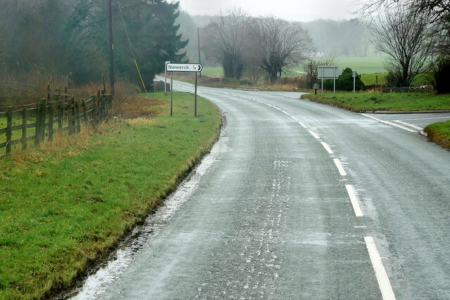
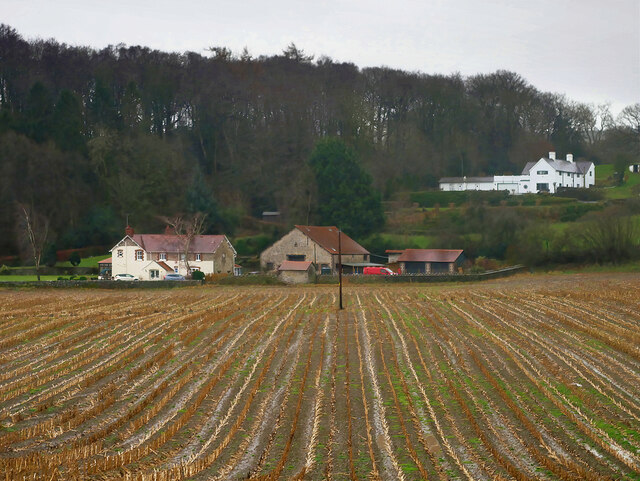
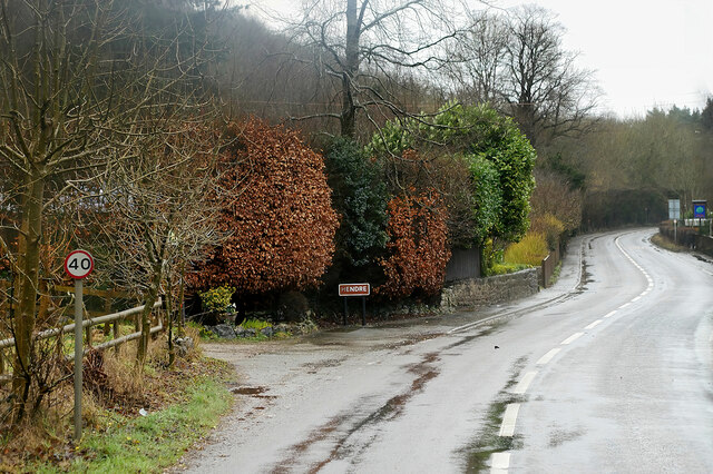
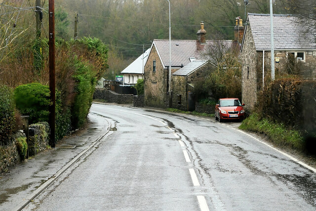
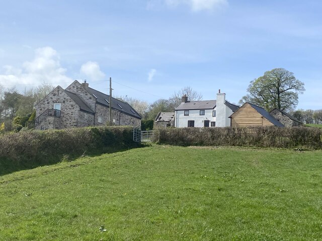
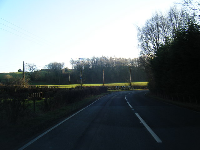
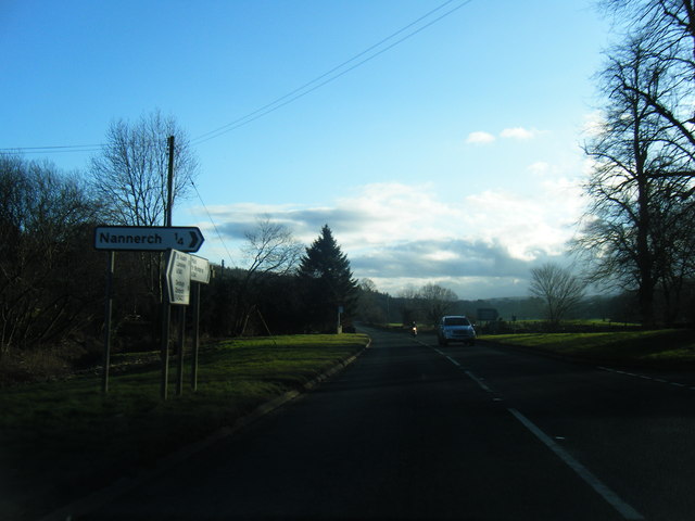
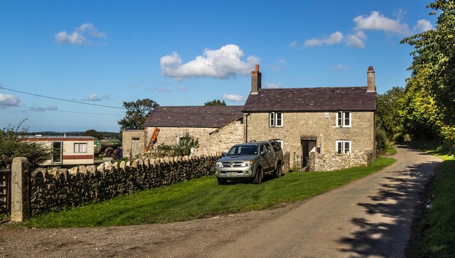
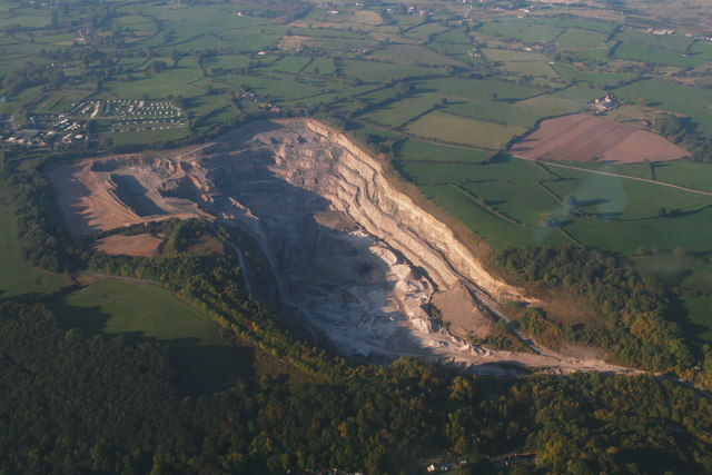
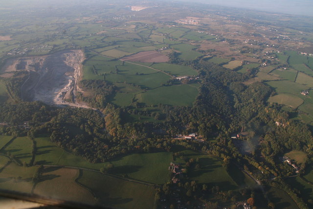
Coed Dafarn-galed Images

Images are sourced within 2km of 53.201426/-3.2286165 or Grid Reference SJ1867. Thanks to Geograph Open Source API. All images are credited.

A541, Nannerch The A541 runs for 26 miles, linking St Asaph with Wrexham. Its northern end starts at the crossroads in the middle of the village of Trefnant (just south of St Asaph). It ends at Wrexham, where it joins the B5101 road. On the way, it passes the town of Mold and also passes through many villages.
A541, Nannerch
The A541 runs for 26 miles, linking St Asaph with Wrexham. Its northern end starts at the crossroads in the middle of the village of Trefnant (just south of St Asaph). It ends at Wrexham, where it joins the B5101 road. On the way, it passes the town of Mold and also passes through many villages.
A451 east of Nannerch The A541 runs for 26 miles, linking St Asaph with Wrexham. Its northern end starts at the crossroads in the middle of the village of Trefnant (just south of St Asaph). It ends at Wrexham, where it joins the B5101 road. On the way, it passes the town of Mold and also passes through many villages.
A451 east of Nannerch
The A541 runs for 26 miles, linking St Asaph with Wrexham. Its northern end starts at the crossroads in the middle of the village of Trefnant (just south of St Asaph). It ends at Wrexham, where it joins the B5101 road. On the way, it passes the town of Mold and also passes through many villages.
Tardd-y-dwr
Tardd-y-dwr
A541, Hendre The A541 runs for 26 miles, linking St Asaph with Wrexham. Its northern end starts at the crossroads in the middle of the village of Trefnant (just south of St Asaph). It ends at Wrexham, where it joins the B5101 road. On the way, it passes the town of Mold and also passes through many villages.
A541, Hendre
The A541 runs for 26 miles, linking St Asaph with Wrexham. Its northern end starts at the crossroads in the middle of the village of Trefnant (just south of St Asaph). It ends at Wrexham, where it joins the B5101 road. On the way, it passes the town of Mold and also passes through many villages.
Hendre, A541 The A541 runs for 26 miles, linking St Asaph with Wrexham. Its northern end starts at the crossroads in the middle of the village of Trefnant (just south of St Asaph). It ends at Wrexham, where it joins the B5101 road. On the way, it passes the town of Mold and also passes through many villages.
Hendre, A541
The A541 runs for 26 miles, linking St Asaph with Wrexham. Its northern end starts at the crossroads in the middle of the village of Trefnant (just south of St Asaph). It ends at Wrexham, where it joins the B5101 road. On the way, it passes the town of Mold and also passes through many villages.
Gors Farm
Gors Farm
Metal stile There are a number of these metal stiles in this area. They are robust and not liable to rot or become slippery after rain.
Metal stile
There are a number of these metal stiles in this area. They are robust and not liable to rot or become slippery after rain.
Junction of farm tracks
A541 near Nannerch
A541 near Nannerch
A541 south of Nannerch
A541 near Tardd-Y-Wyr
Gelli-bach Farmhouse under renovation at Gelli-bach.
Gelli-bach
Farmhouse under renovation at Gelli-bach.
Gelli Farmland near Gelli.
Gelli
Farmland near Gelli.
Railway Cottage Railway Cottage alongside the A541.
Railway Cottage
Railway Cottage alongside the A541.
Cefn-mely View of Cefn-mely farm.
Cefn-mely
View of Cefn-mely farm.
Four Crosses Crossroads at Four Crosses.
Four Crosses
Crossroads at Four Crosses.
Show me another place!

Coed Dafarn-galed is located at Grid Ref: SJ1867 (Lat: 53.201426, Lng: -3.2286165)

Unitary Authority: Flintshire

Police Authority: North Wales

What 3 Words

///spoils.defenders.sands. Near Halkyn, Flintshire

Related Wikis

Star Crossing Halt railway station

Star Crossing Halt railway station was a station between Nannerch and Cilcain, Flintshire, Wales. The station was opened on 2 November 1914 and closed...

Cilcain Hall

Cilcain Hall is a country house 2 miles (3 km) north-northeast of the village of Cilcain, Flintshire, Wales (grid reference SJ185683). It was built in...

Nannerch railway station

Nannerch railway station was a station in Nannerch, Flintshire, Wales. The station was opened on 6 September 1869 and closed on 30 April 1962. == References... ==

Mold and Denbigh Junction Railway

The Mold and Denbigh Junction Railway was a railway company that built a 16-mile (26 km) railway line in North Wales. It formed a link between the Mold...

Penbedw

Penbedw is a country estate near Nannerch, Flintshire, Wales. Penbedw Hall was demolished by developers some time after 1969.Its parks and gardens are...

Nannerch

Nannerch is a village and community in Flintshire, Wales, located within the Clwydian Range and Dee Valley Area of Outstanding Natural Beauty. At the 2001...

Clwydian Range

The Clwydian Range (Welsh: Bryniau Clwyd; also known as the Clwydian Hills; or simply the Clwyds) is a series of hills in the north-east of Wales that...

Ogof Nadolig

Ogof Nadolig is a cave in the Alyn Gorge near Cilcain, Flintshire, Wales. It is mostly crawling, 300 metres (980 ft) long, and ends with a shaft up to...

Nearby Amenities

Located within 500m of 53.201426,-3.2286165
Ref: 43
Lat/Long: 53.2013369/-3.2360392
Tarddydwr Halt
Alt Name: Star Crossing
Historic Railway: station
Railway: site
Lat/Long: 53.2014833/-3.2357186
Direction: 165
Generator Method: photovoltaic
Generator Output Electricity: yes
Generator Solar Modules: 16
Generator Source: solar
Generator Type: solar_photovoltaic_panel
Location: roof
Power: generator
Lat/Long: 53.2055948/-3.2272849
The data included in this document is from www.openstreetmap.org. The data is made available under ODbL.

Have you been to Coed Dafarn-galed?

Leave your review of Coed Dafarn-galed below (or comments, questions and feedback).