Coed Sêl
Wood, Forest in Merionethshire
Wales
Coed Sêl
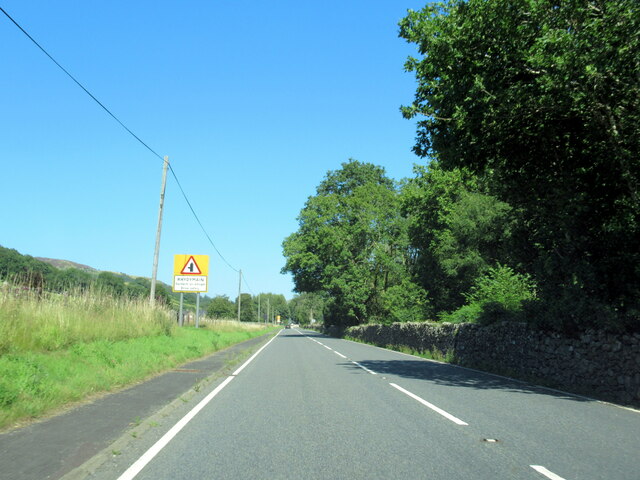
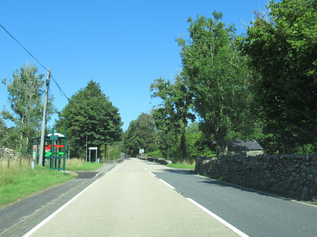
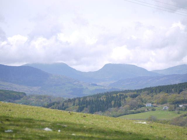
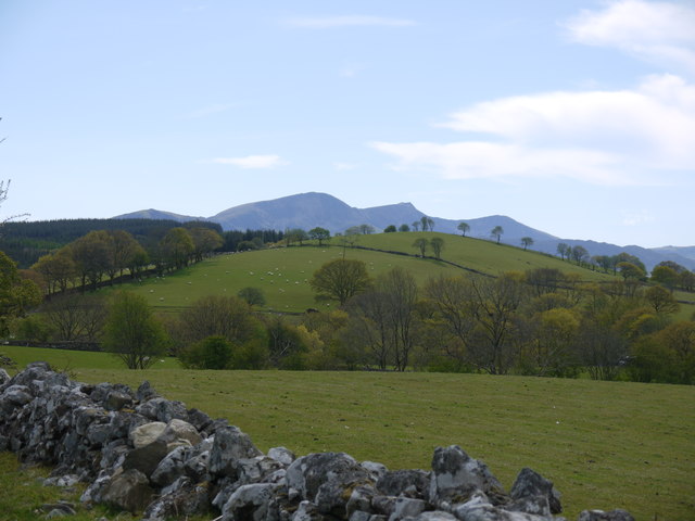
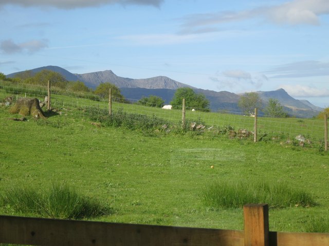
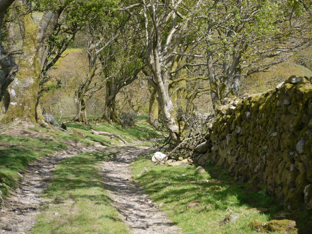
Coed Sêl, located in the county of Merionethshire, Wales, is a picturesque woodland area known for its natural beauty and diverse flora and fauna. With an approximate size of 100 hectares, the woodland is situated near the village of Llanuwchllyn, offering visitors a tranquil and serene environment to explore.
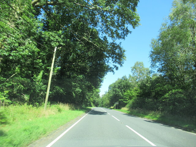
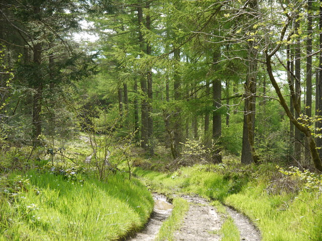
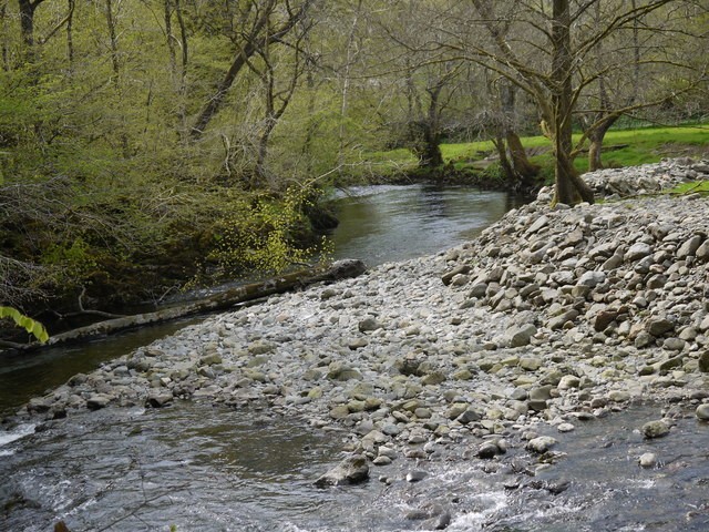
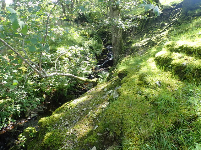
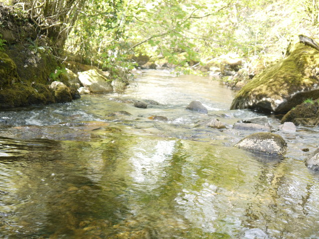
The forest features a variety of tree species, including oak, birch, ash, and rowan, which create a dense and vibrant canopy. The forest floor is covered in a rich carpet of mosses, ferns, and wildflowers, enhancing the enchanting atmosphere of the woodland. Several small streams meander through the area, adding to the overall charm and providing a habitat for various aquatic species.
Coed Sêl is a haven for wildlife enthusiasts, as it is home to a diverse array of animals. Red squirrels, badgers, foxes, and a variety of birds, such as woodpeckers and owls, can be spotted among the trees. The woodland also attracts migratory birds, making it an excellent spot for birdwatching during the appropriate seasons.
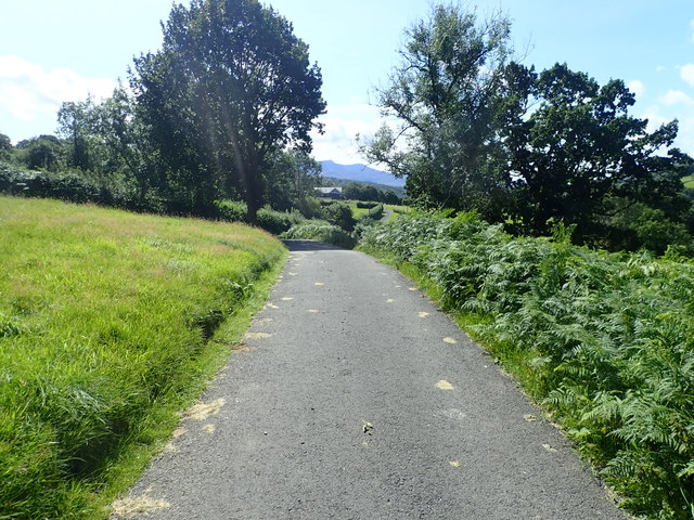
The forest offers a network of well-maintained walking trails, allowing visitors to explore its beauty while enjoying the peaceful ambiance. These paths vary in difficulty, catering to both casual walkers and more experienced hikers. Along the way, informative signs provide details about the flora and fauna found in the area, enhancing the educational experience.
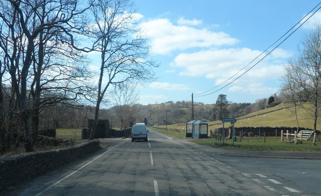
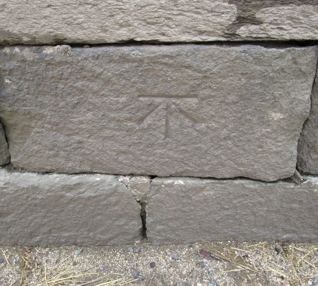
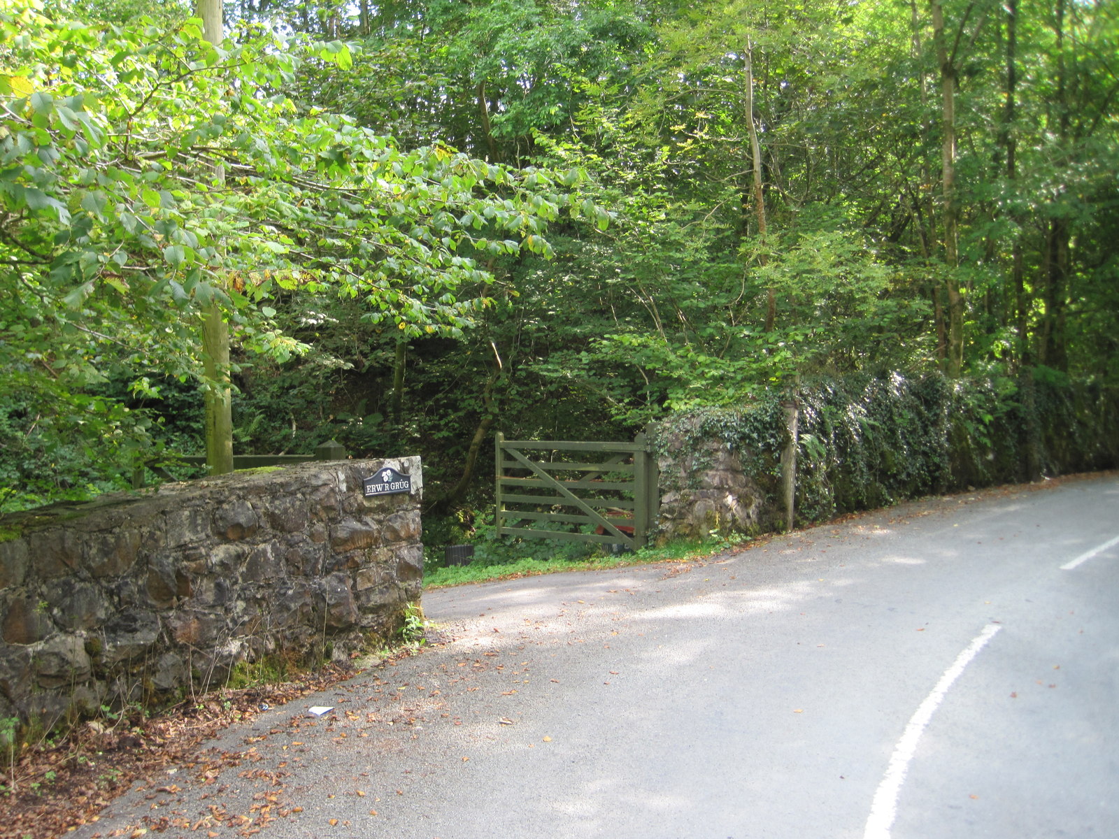
Coed Sêl is not only a place of natural beauty but also holds historical significance. The woodland was once part of a larger estate and is surrounded by ancient stone walls, remnants of its past. Today, it is managed by a local conservation organization, ensuring its preservation for future generations to enjoy.
If you have any feedback on the listing, please let us know in the comments section below.
Coed Sêl Images
Images are sourced within 2km of 52.769553/-3.7899204 or Grid Reference SH7920. Thanks to Geograph Open Source API. All images are credited.

Coed Sêl is located at Grid Ref: SH7920 (Lat: 52.769553, Lng: -3.7899204)
Unitary Authority: Gwynedd
Police Authority: North Wales
What 3 Words
///flukes.blush.copy. Near Dolgellau, Gwynedd
Nearby Locations
Related Wikis
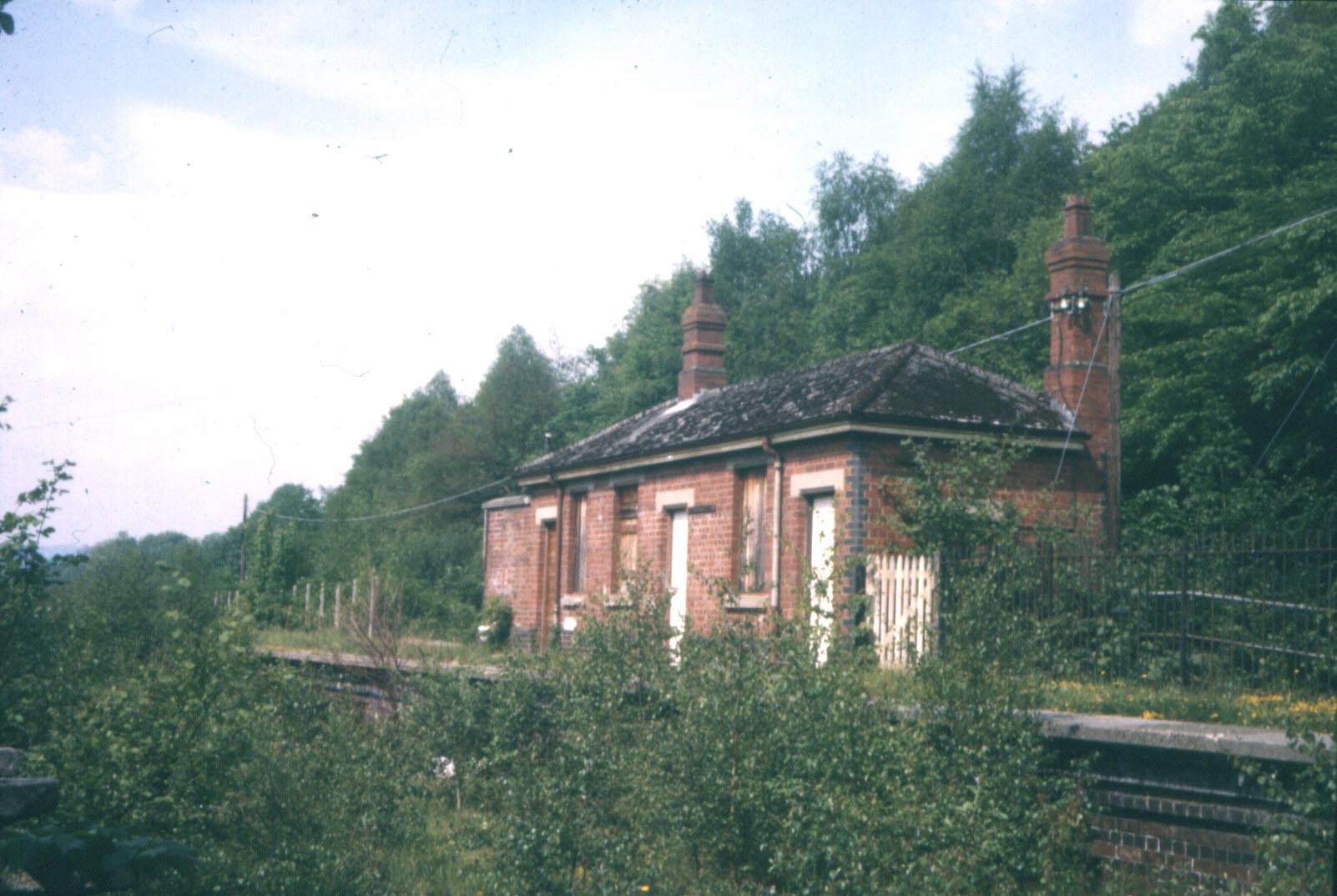
Wnion Halt railway station
Wnion Halt (Pron: Oon-y'n) in Gwynedd, Wales, was on the Ruabon to Barmouth line. The station was situated in a narrow part of the Wnion Valley next to...

Brithdir and Llanfachreth
Brithdir and Llanfachreth is a community in the county of Gwynedd, Wales, near Dolgellau, and is 93.1 miles (149.8 km) from Cardiff and 178.4 miles (287...
Bont Newydd railway station
Bont Newydd railway station (sometimes shown as Bontnewydd) in Gwynedd, Wales, was a station on the now-closed Ruabon to Barmouth line. Originally a single...

Brithdir, Gwynedd
Brithdir is a small hamlet on the outskirts of Dolgellau, Gwynedd in the community of Brithdir and Llanfachreth. The Arts and Crafts Movement St Mark's...
Drws-y-Nant
Drws-y-Nant is a village in Gwynedd, Wales. It was formerly served by the Drws-y-Nant railway station but this closed in 1965.

Allt y Benglog National Nature Reserve
Allt y Benglog is a small national nature reserve near Dolgellau in Wales.Its position on the lower slopes of Rhobell Fawr, one of north Wales’ extinct...

Meirionnydd
Meirionnydd is a coastal and mountainous region of Wales. It has been a kingdom, a cantref, a district and, as Merionethshire, a county. == Kingdom... ==

Drws-y-Nant railway station
Drws-y-Nant railway station (Pron: Droos-a-Nant) in Gwynedd, Wales, was formerly a station on the Ruabon to Barmouth line. The station had two platforms...
Nearby Amenities
Located within 500m of 52.769553,-3.7899204Have you been to Coed Sêl?
Leave your review of Coed Sêl below (or comments, questions and feedback).