Coed Cefn-creuan-uchaf
Wood, Forest in Merionethshire
Wales
Coed Cefn-creuan-uchaf
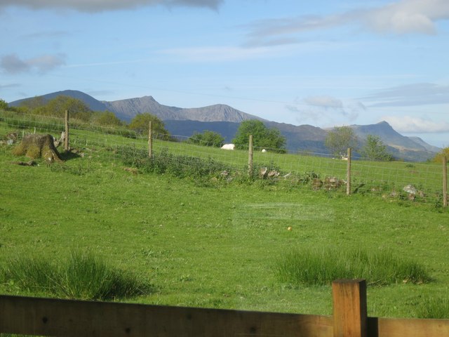
Coed Cefn-creuan-uchaf, located in Merionethshire, is a stunning woodland area known for its natural beauty and diverse flora and fauna. The name translates to "Wood, Forest" in English, which aptly describes the landscape of this enchanting place.
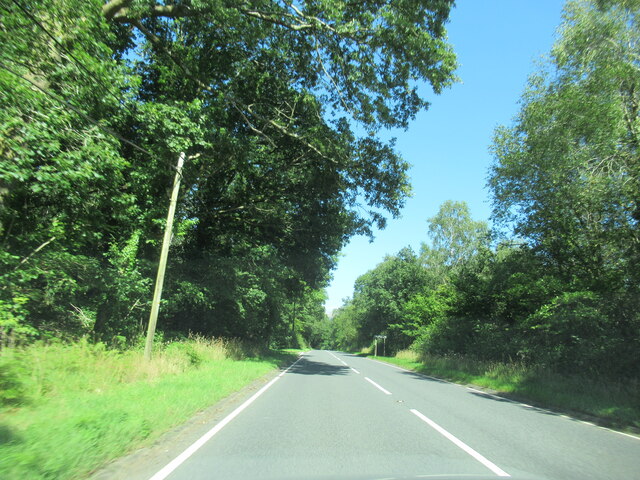
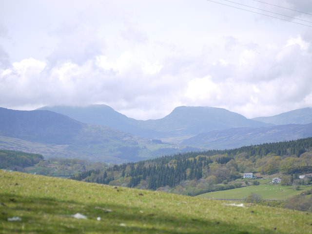
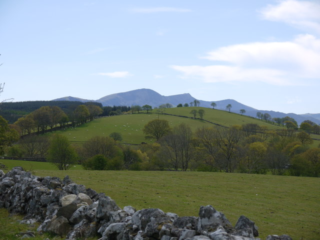
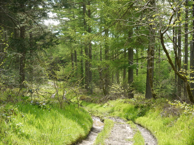
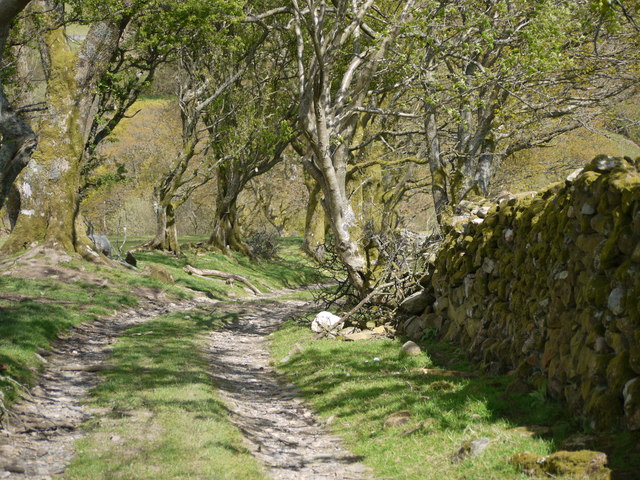
Situated in the heart of the Welsh countryside, Coed Cefn-creuan-uchaf covers a vast area of land, offering visitors an opportunity to immerse themselves in nature and escape the hustle and bustle of everyday life. The woodland is characterized by a mix of deciduous and coniferous trees, creating a rich tapestry of colors throughout the seasons.
The forest is home to a wide variety of wildlife, including deer, foxes, badgers, and a plethora of bird species. Nature enthusiasts can enjoy birdwatching, as the woodland serves as a habitat for species such as woodpeckers, owls, and warblers. Additionally, the forest floor is adorned with an array of wildflowers, making it a haven for botany enthusiasts.
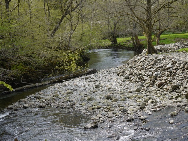
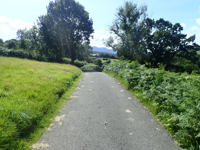
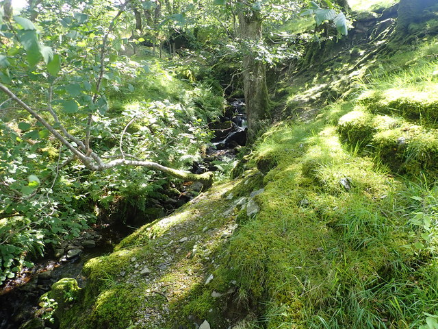
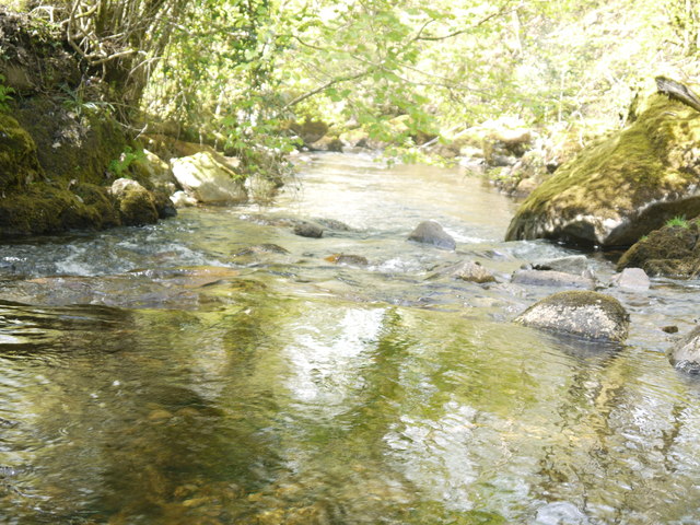
Coed Cefn-creuan-uchaf offers numerous walking trails and pathways, allowing visitors to explore the woodland at their own pace. These paths lead to hidden spots, including babbling brooks, secluded picnic areas, and breathtaking viewpoints. The tranquil atmosphere and the soothing sound of nature make it an ideal destination for those seeking relaxation and rejuvenation.
In conclusion, Coed Cefn-creuan-uchaf is a picturesque woodland in Merionethshire, Wales. With its diverse ecosystem, abundant wildlife, and scenic walking trails, it offers a perfect retreat for nature lovers and anyone seeking solace in the beauty of the natural world.
If you have any feedback on the listing, please let us know in the comments section below.
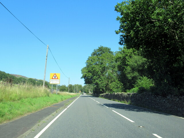
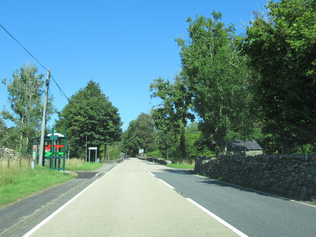
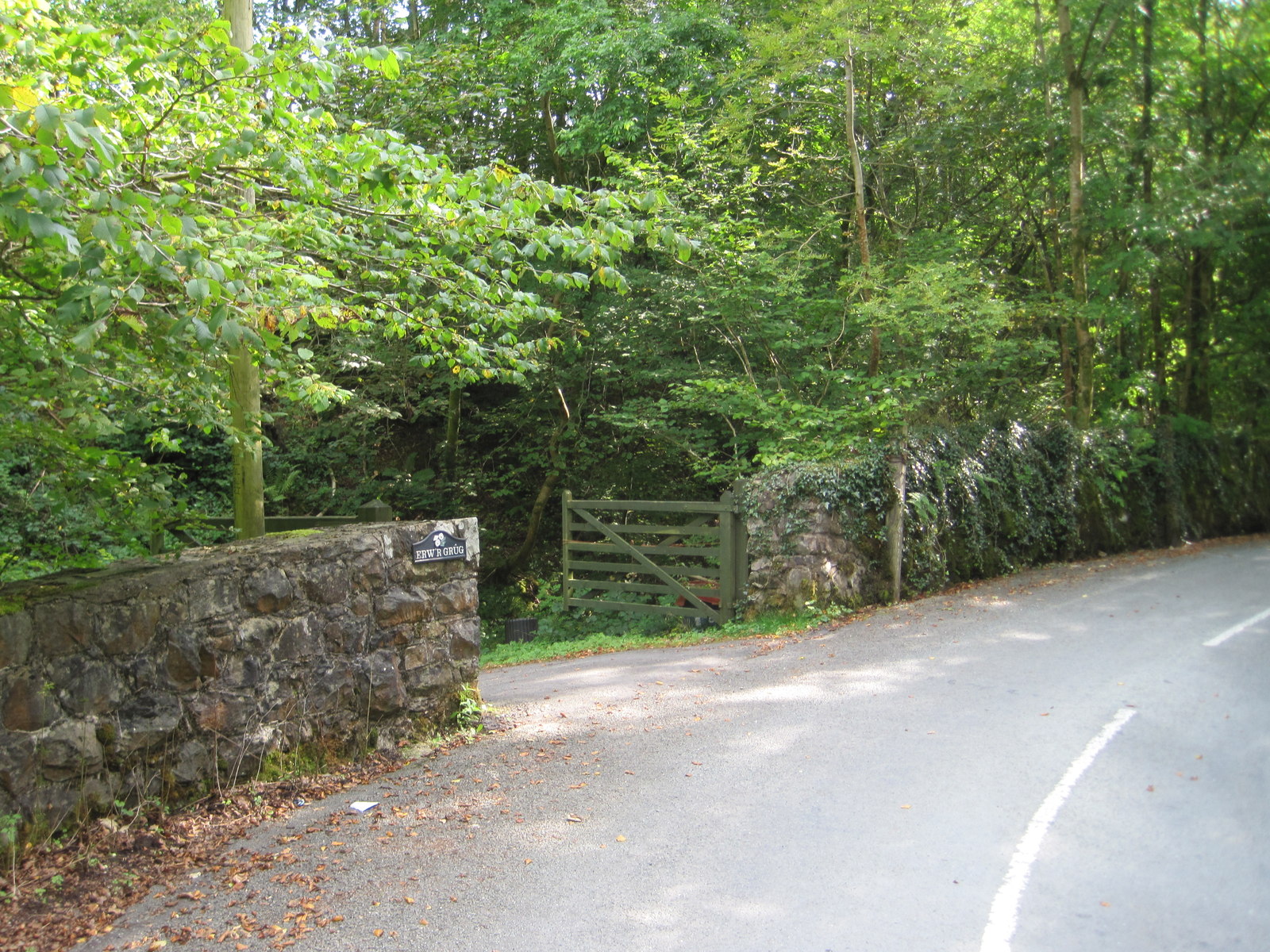
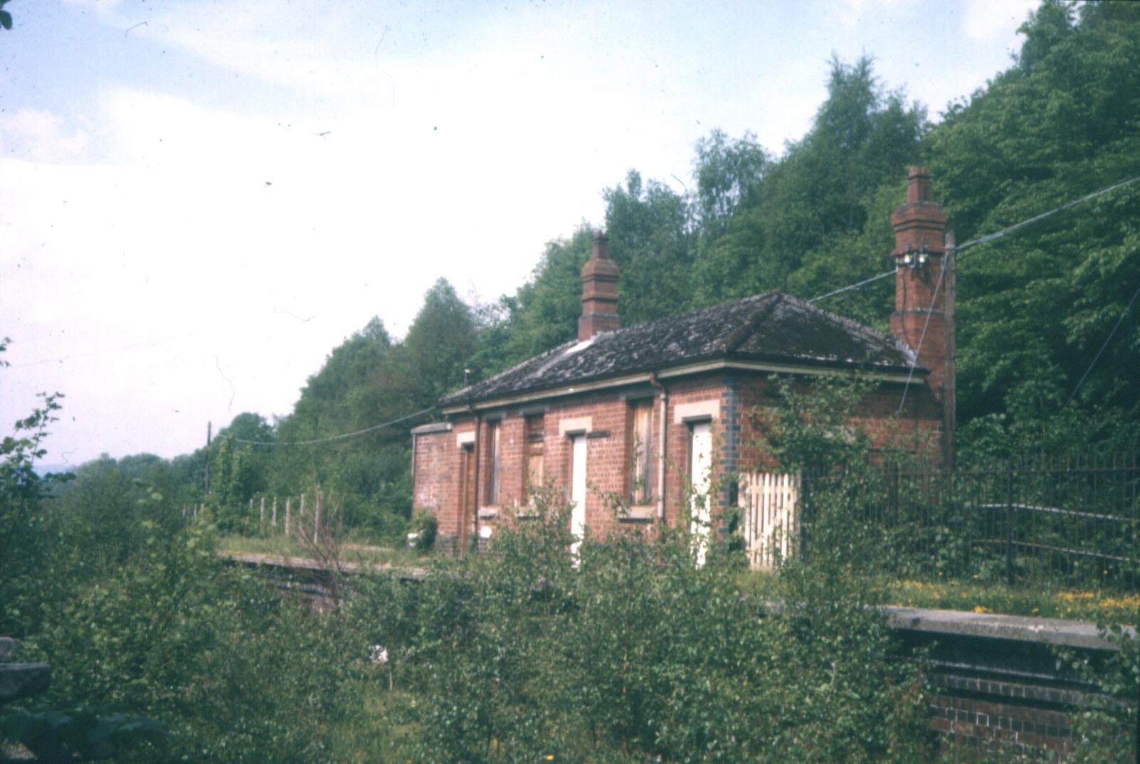
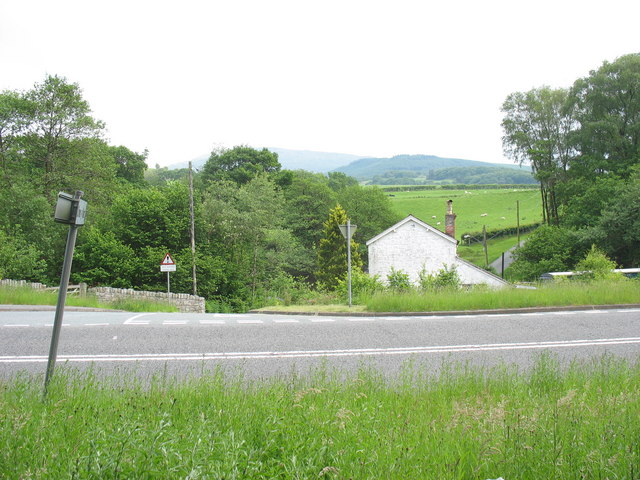
Coed Cefn-creuan-uchaf Images
Images are sourced within 2km of 52.767505/-3.7873907 or Grid Reference SH7920. Thanks to Geograph Open Source API. All images are credited.


Coed Cefn-creuan-uchaf is located at Grid Ref: SH7920 (Lat: 52.767505, Lng: -3.7873907)
Unitary Authority: Gwynedd
Police Authority: North Wales
What 3 Words
///compress.host.steamed. Near Dolgellau, Gwynedd
Nearby Locations
Related Wikis
Wnion Halt railway station
Wnion Halt (Pron: Oon-y'n) in Gwynedd, Wales, was on the Ruabon to Barmouth line. The station was situated in a narrow part of the Wnion Valley next to...

Brithdir and Llanfachreth
Brithdir and Llanfachreth is a community in the county of Gwynedd, Wales, near Dolgellau, and is 93.1 miles (149.8 km) from Cardiff and 178.4 miles (287...
Bont Newydd railway station
Bont Newydd railway station (sometimes shown as Bontnewydd) in Gwynedd, Wales, was a station on the now-closed Ruabon to Barmouth line. Originally a single...

Brithdir, Gwynedd
Brithdir is a small hamlet on the outskirts of Dolgellau, Gwynedd in the community of Brithdir and Llanfachreth. The Arts and Crafts Movement St Mark's...
Drws-y-Nant
Drws-y-Nant is a village in Gwynedd, Wales. It was formerly served by the Drws-y-Nant railway station but this closed in 1965.

Pen y Brynfforchog
Pen y Brynfforchog is subsidiary summit of Glasgwm in North Wales forming part of the Aran range in southern Snowdonia.It is separated from Glasgwm by...

Meirionnydd
Meirionnydd is a coastal and mountainous region of Wales. It has been a kingdom, a cantref, a district and, as Merionethshire, a county. == Kingdom... ==

Allt y Benglog National Nature Reserve
Allt y Benglog is a small national nature reserve near Dolgellau in Wales.Its position on the lower slopes of Rhobell Fawr, one of north Wales’ extinct...
Nearby Amenities
Located within 500m of 52.767505,-3.7873907Have you been to Coed Cefn-creuan-uchaf?
Leave your review of Coed Cefn-creuan-uchaf below (or comments, questions and feedback).