Bryn coed Ifor
Settlement in Merionethshire
Wales
Bryn coed Ifor
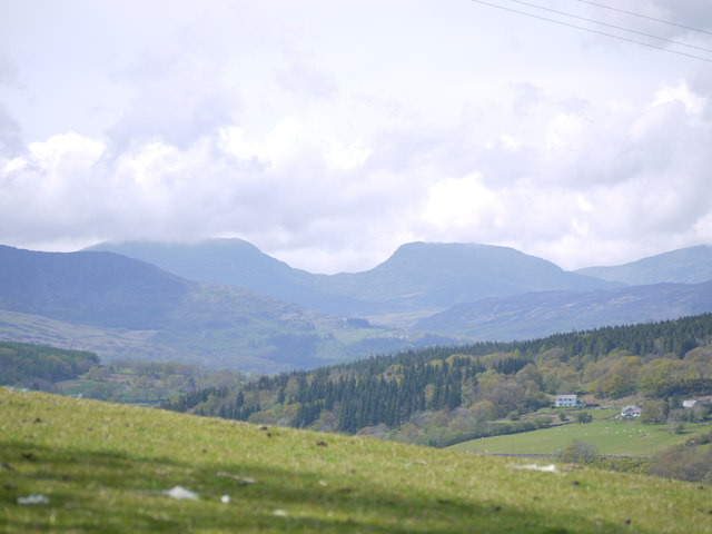
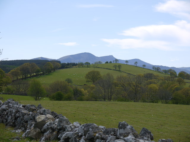
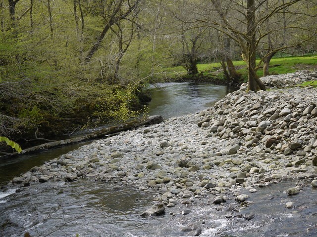
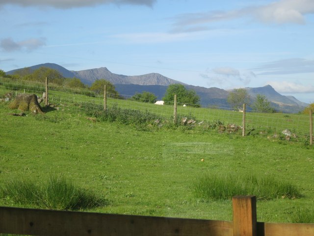
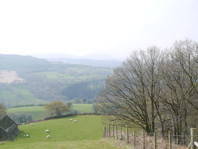
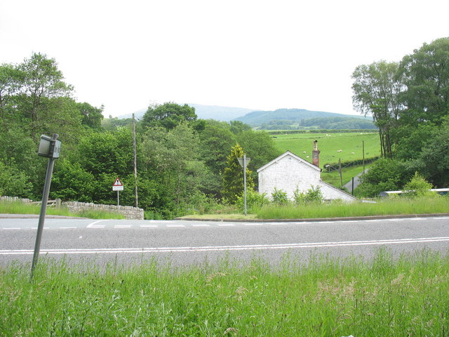
Bryn coed Ifor is a small village located in the county of Merionethshire, Wales. Situated in the beautiful countryside of Snowdonia National Park, it offers breathtaking views of the surrounding mountains and valleys. The village is nestled on the banks of the River Dyfi, which adds to its natural charm.
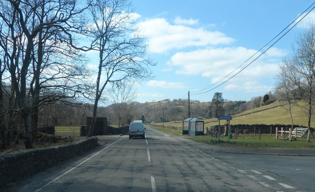
With a population of around 200 residents, Bryn coed Ifor is known for its tight-knit community and friendly atmosphere. The village is predominantly residential, with a few small businesses catering to the needs of the locals. Amenities such as a post office, a local convenience store, and a village hall can be found within the vicinity.
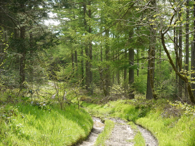
Nature enthusiasts and outdoor lovers are drawn to Bryn coed Ifor due to its proximity to numerous hiking trails and outdoor activities. The village is an excellent base for exploring the picturesque landscapes of Snowdonia, offering opportunities for walking, cycling, and wildlife spotting.
Historically, Bryn coed Ifor has deep roots in Welsh culture. The village is proud of its heritage and traditions, with occasional events and festivals celebrating the local culture. The Welsh language is still widely spoken within the community, adding to the sense of identity and pride.
Overall, Bryn coed Ifor is a tranquil village that offers a peaceful retreat for both residents and visitors. Its stunning surroundings, strong community spirit, and access to outdoor pursuits make it an appealing destination for those seeking a rural escape in the heart of Wales.
If you have any feedback on the listing, please let us know in the comments section below.
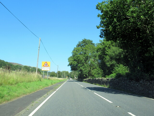
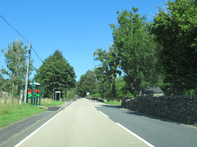
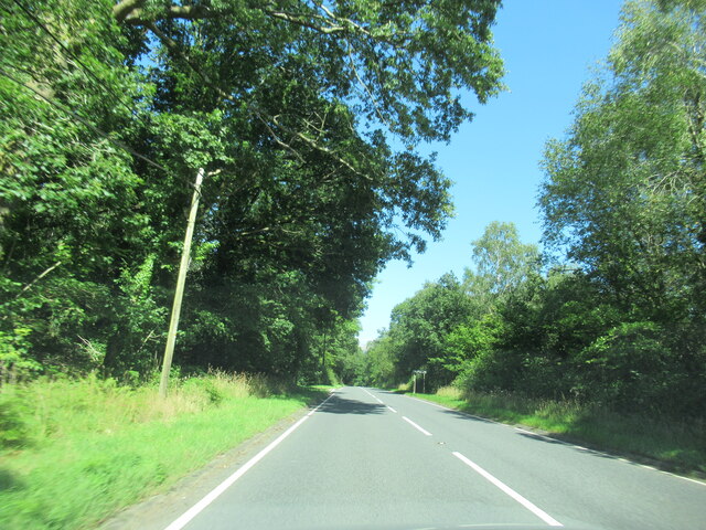
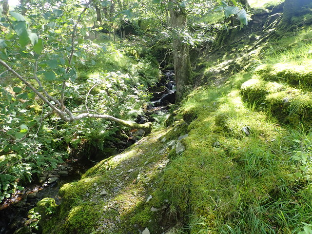
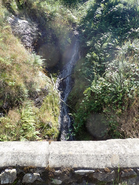
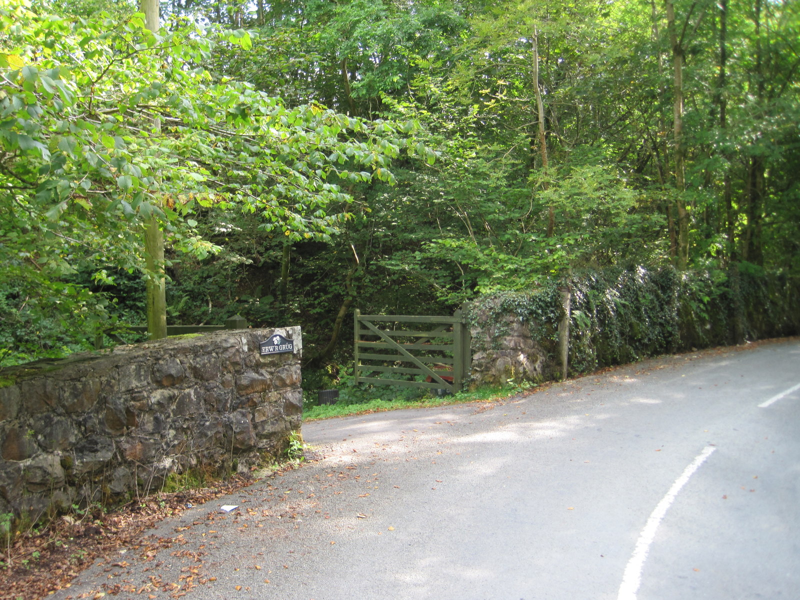
Bryn coed Ifor Images
Images are sourced within 2km of 52.769785/-3.785796 or Grid Reference SH7920. Thanks to Geograph Open Source API. All images are credited.
Bryn coed Ifor is located at Grid Ref: SH7920 (Lat: 52.769785, Lng: -3.785796)
Unitary Authority: Gwynedd
Police Authority: North Wales
What 3 Words
///envisage.impaired.locker. Near Dolgellau, Gwynedd
Nearby Locations
Related Wikis
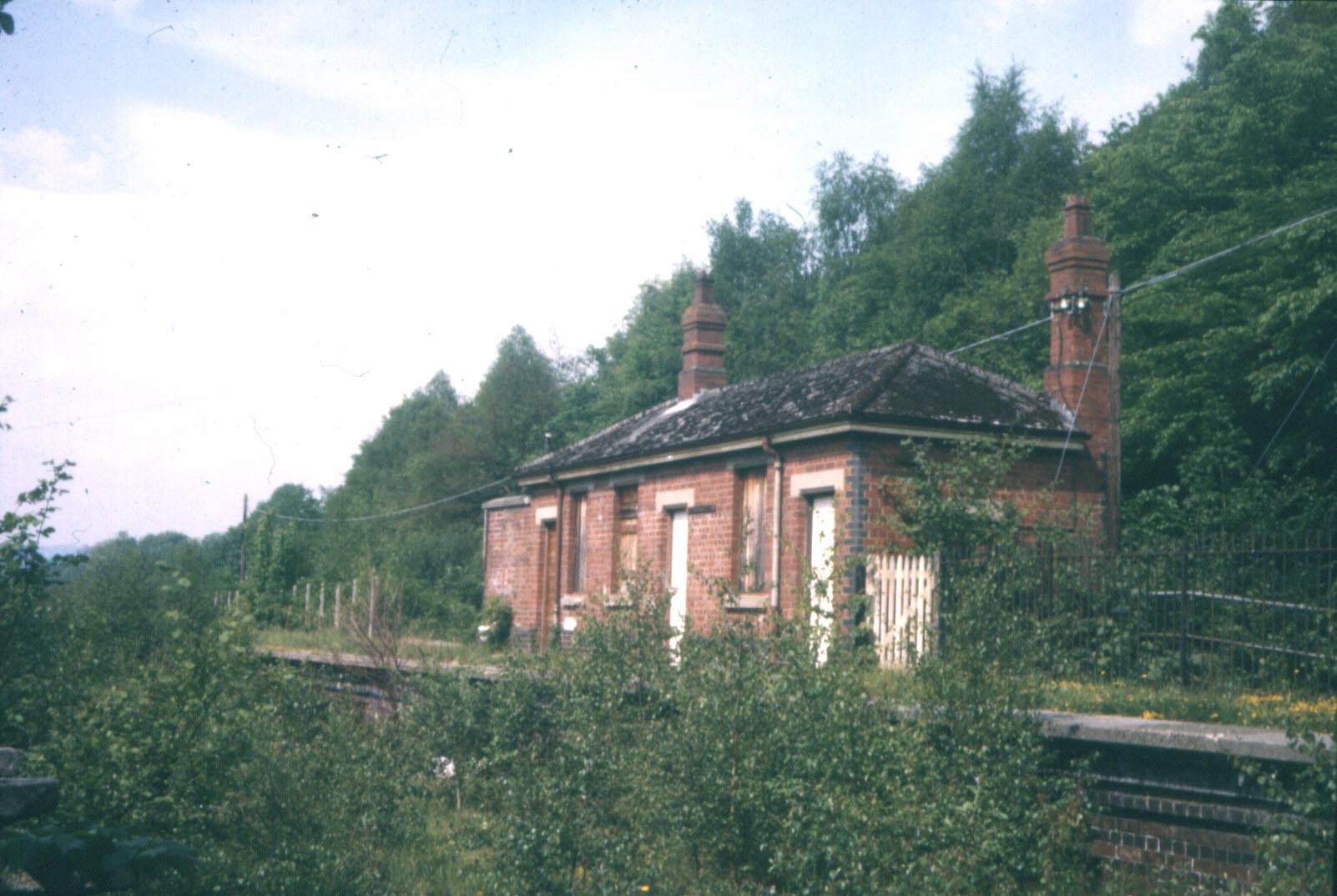
Wnion Halt railway station
Wnion Halt (Pron: Oon-y'n) in Gwynedd, Wales, was on the Ruabon to Barmouth line. The station was situated in a narrow part of the Wnion Valley next to...

Brithdir and Llanfachreth
Brithdir and Llanfachreth is a community in the county of Gwynedd, Wales, near Dolgellau, and is 93.1 miles (149.8 km) from Cardiff and 178.4 miles (287...
Bont Newydd railway station
Bont Newydd railway station (sometimes shown as Bontnewydd) in Gwynedd, Wales, was a station on the now-closed Ruabon to Barmouth line. Originally a single...
Drws-y-Nant
Drws-y-Nant is a village in Gwynedd, Wales. It was formerly served by the Drws-y-Nant railway station but this closed in 1965.
Nearby Amenities
Located within 500m of 52.769785,-3.785796Have you been to Bryn coed Ifor?
Leave your review of Bryn coed Ifor below (or comments, questions and feedback).