Bryn-coed-Ifor
Settlement in Merionethshire
Wales
Bryn-coed-Ifor
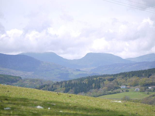
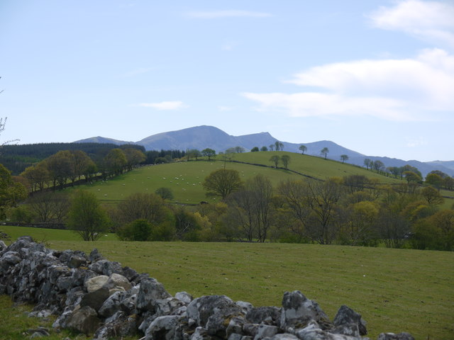
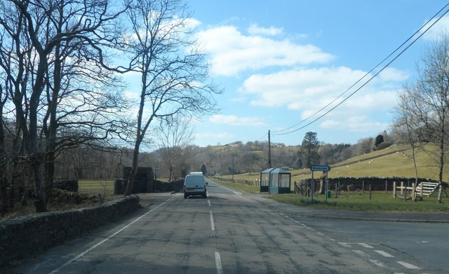
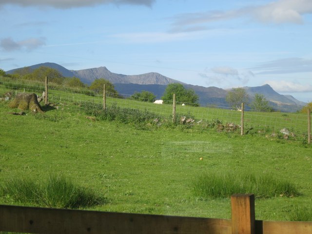
Bryn-coed-Ifor is a small village located in the historic county of Merionethshire, Wales. Situated in the scenic and mountainous region of Snowdonia National Park, it is surrounded by breathtaking natural beauty. The village is nestled between the towns of Dolgellau and Bala, making it an ideal location for those seeking a peaceful retreat away from the bustling city life.
Bryn-coed-Ifor is home to a close-knit community that takes pride in its Welsh heritage. The local residents are known for their warmth and friendliness, welcoming visitors with open arms. The village has a rich history, dating back to the medieval times when it served as an important stopover on the trade route between the coast and the upland areas.
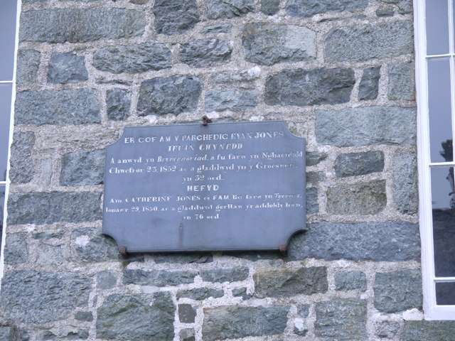
One of the notable landmarks in Bryn-coed-Ifor is the St. Ifor's Church, a charming place of worship that dates back to the 14th century. The church features stunning architecture and is a popular destination for history enthusiasts and tourists alike.
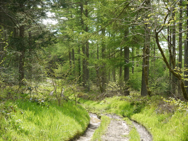
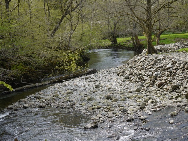
The village is also an excellent base for outdoor enthusiasts and nature lovers. It offers a plethora of activities, including hiking, mountain biking, and fishing in the nearby rivers and lakes. The surrounding mountains provide a haven for climbers and thrill-seekers, with opportunities for challenging ascents and breathtaking views.
In terms of amenities, Bryn-coed-Ifor has a few local shops and a traditional pub, where locals and visitors can gather and enjoy a pint of locally brewed ale. For more extensive facilities and services, the nearby towns of Dolgellau and Bala offer a wider range of options.
Overall, Bryn-coed-Ifor is a hidden gem in the heart of Wales, offering a peaceful retreat and access to stunning natural landscapes.
If you have any feedback on the listing, please let us know in the comments section below.
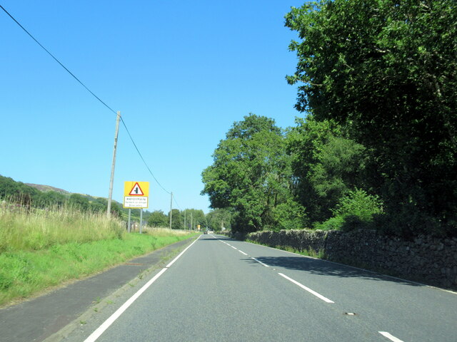
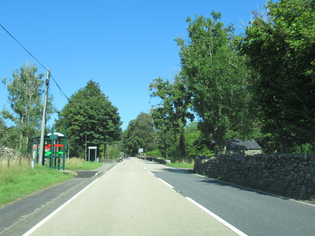
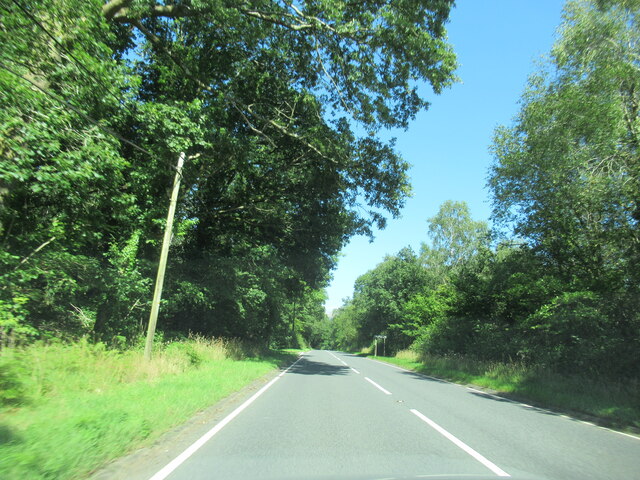
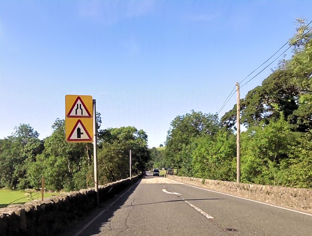
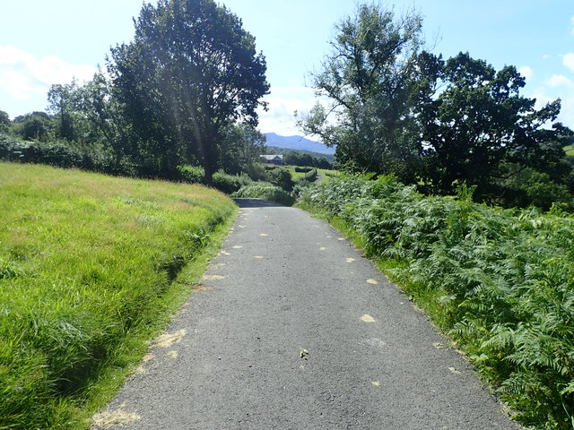
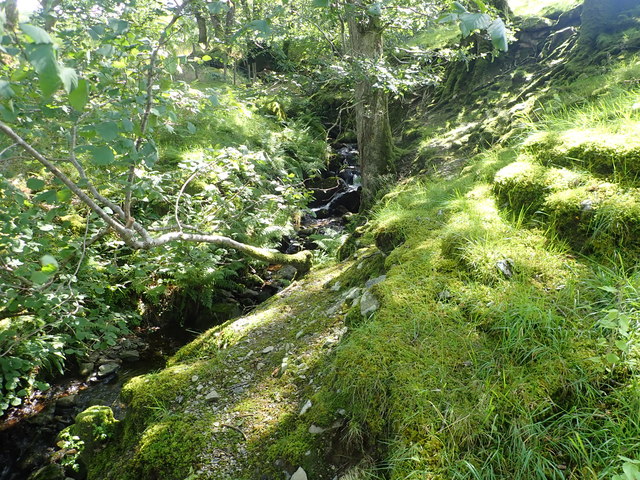
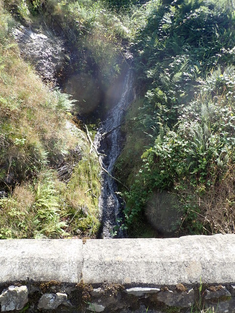
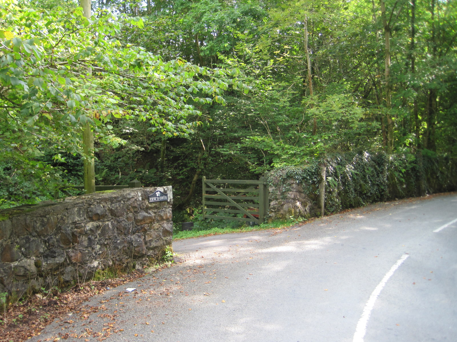
Bryn-coed-Ifor Images
Images are sourced within 2km of 52.769877/-3.7887182 or Grid Reference SH7920. Thanks to Geograph Open Source API. All images are credited.

Bryn-coed-Ifor is located at Grid Ref: SH7920 (Lat: 52.769877, Lng: -3.7887182)
Unitary Authority: Gwynedd
Police Authority: North Wales
What 3 Words
///clattered.implanted.clap. Near Dolgellau, Gwynedd
Nearby Locations
Related Wikis
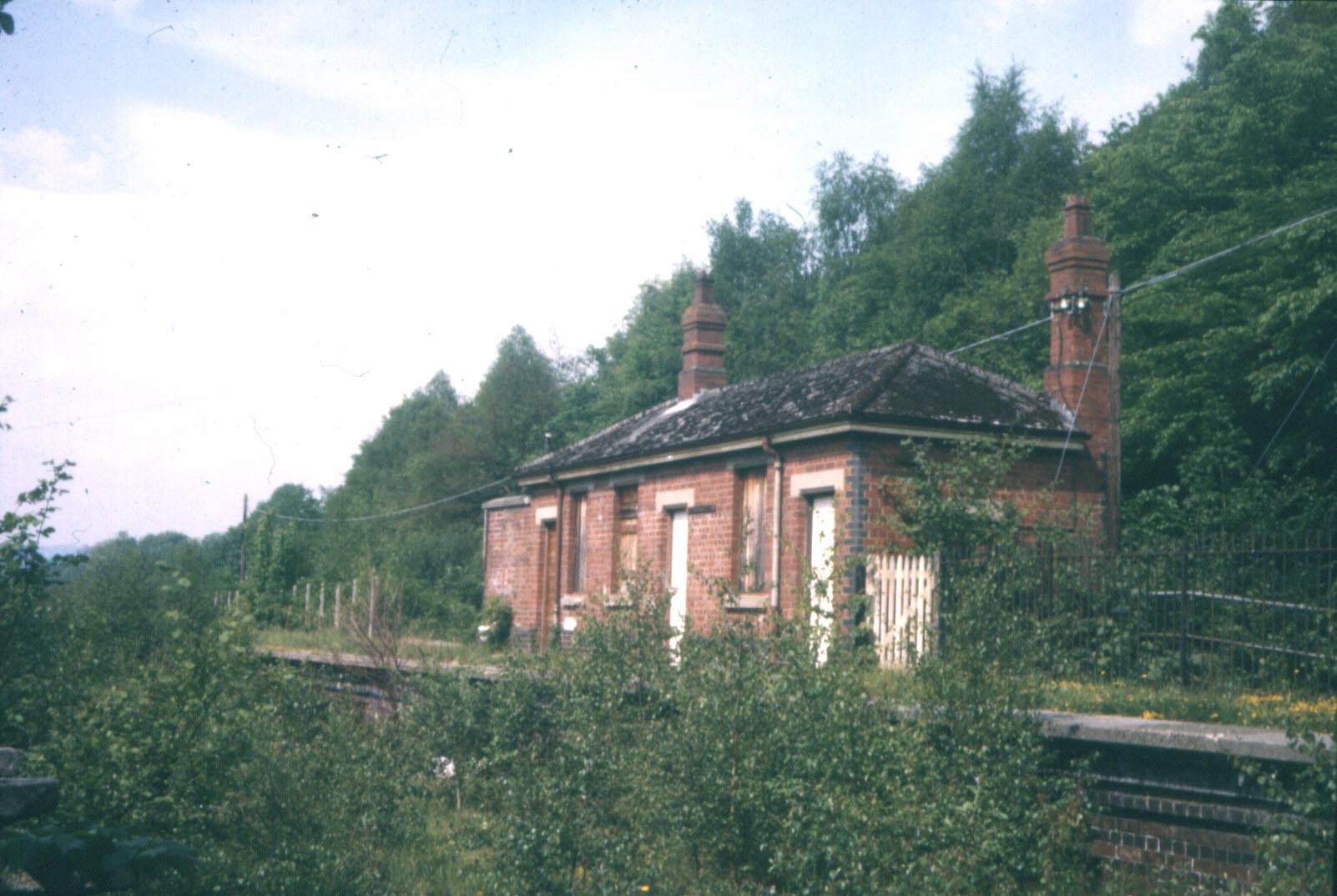
Wnion Halt railway station
Wnion Halt (Pron: Oon-y'n) in Gwynedd, Wales, was on the Ruabon to Barmouth line. The station was situated in a narrow part of the Wnion Valley next to...

Brithdir and Llanfachreth
Brithdir and Llanfachreth is a community in the county of Gwynedd, Wales, near Dolgellau, and is 93.1 miles (149.8 km) from Cardiff and 178.4 miles (287...
Bont Newydd railway station
Bont Newydd railway station (sometimes shown as Bontnewydd) in Gwynedd, Wales, was a station on the now-closed Ruabon to Barmouth line. Originally a single...

Brithdir, Gwynedd
Brithdir is a small hamlet on the outskirts of Dolgellau, Gwynedd in the community of Brithdir and Llanfachreth. The Arts and Crafts Movement St Mark's...
Nearby Amenities
Located within 500m of 52.769877,-3.7887182Have you been to Bryn-coed-Ifor?
Leave your review of Bryn-coed-Ifor below (or comments, questions and feedback).