Brynglas
Settlement in Merionethshire
Wales
Brynglas

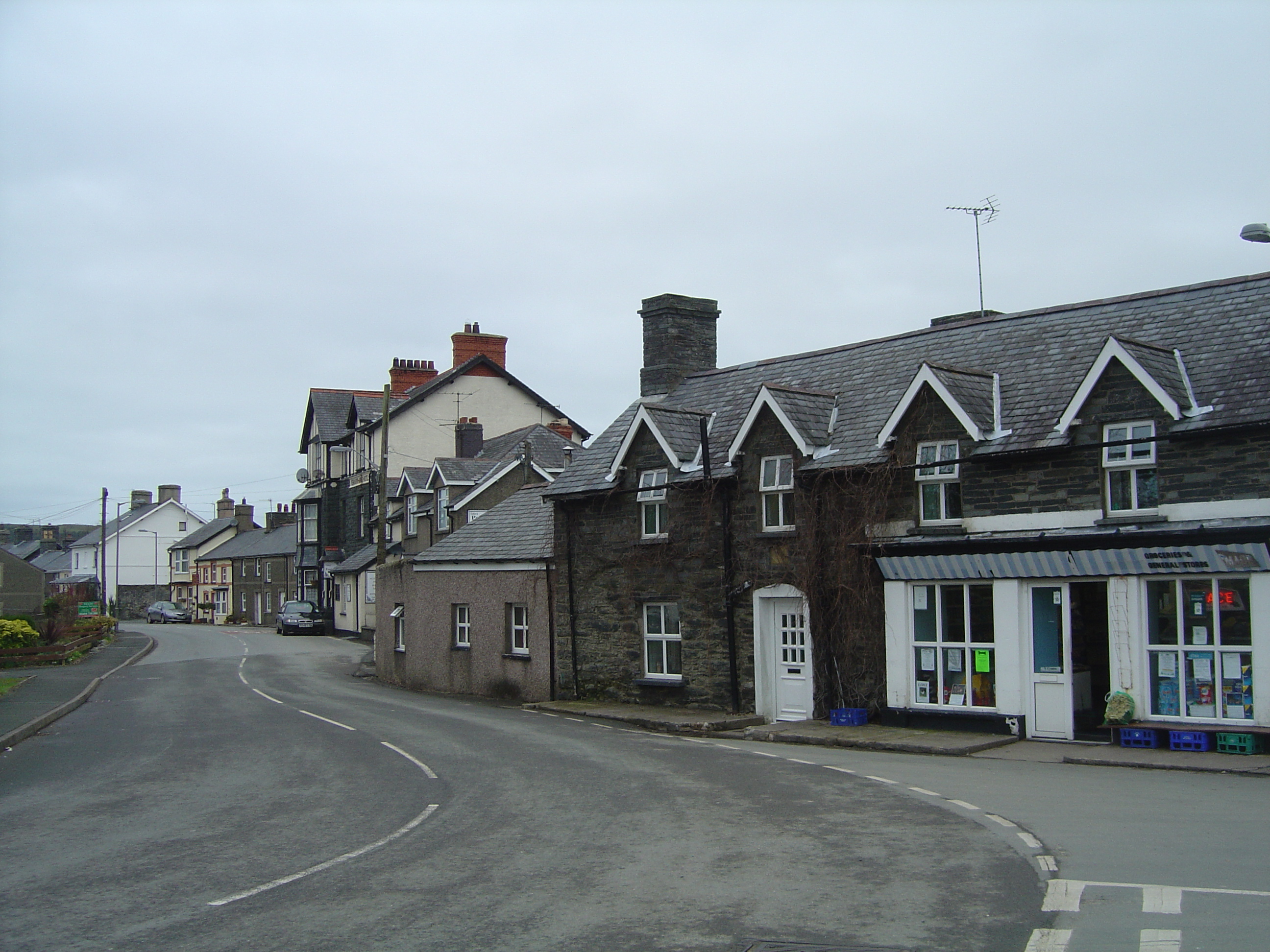
Brynglas is a small village located in the county of Merionethshire, Wales. Situated in the stunning Snowdonia National Park, it is surrounded by breathtaking natural beauty, making it a popular destination for outdoor enthusiasts and nature lovers.
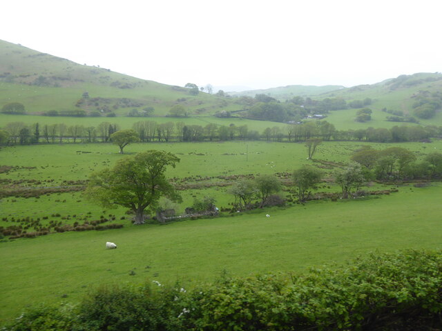
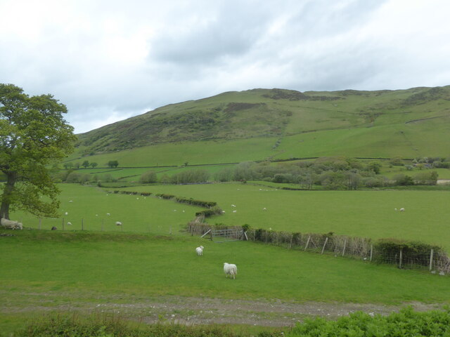
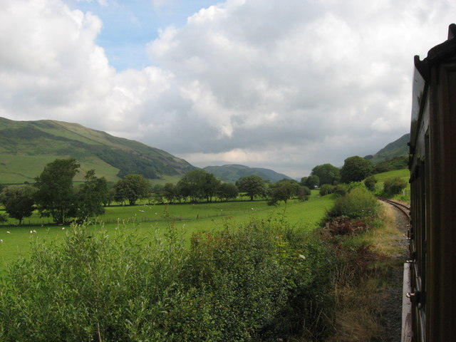
The village is nestled amidst rolling hills, with the River Mawddach flowing nearby, offering picturesque views and tranquil surroundings. Its location provides easy access to a wealth of outdoor activities, including hiking, mountain biking, and fishing. The nearby Cader Idris mountain range attracts climbers and walkers from far and wide.
Despite its small size, Brynglas has a close-knit community that takes pride in its heritage and local traditions. The village features a number of charming cottages, some of which date back centuries, giving visitors a glimpse into its historical past.
Although Brynglas is predominantly a residential area, there are a few amenities available to its residents and visitors. A small convenience store provides essential supplies, while a local pub offers a cozy setting to socialize and enjoy a traditional Welsh pint.
For those seeking a peaceful retreat away from the hustle and bustle of city life, Brynglas provides a perfect escape. Its idyllic setting, combined with its proximity to the natural wonders of Snowdonia, make it an ideal destination for those seeking a balance of relaxation and outdoor adventure.
If you have any feedback on the listing, please let us know in the comments section below.
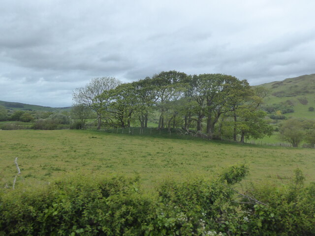
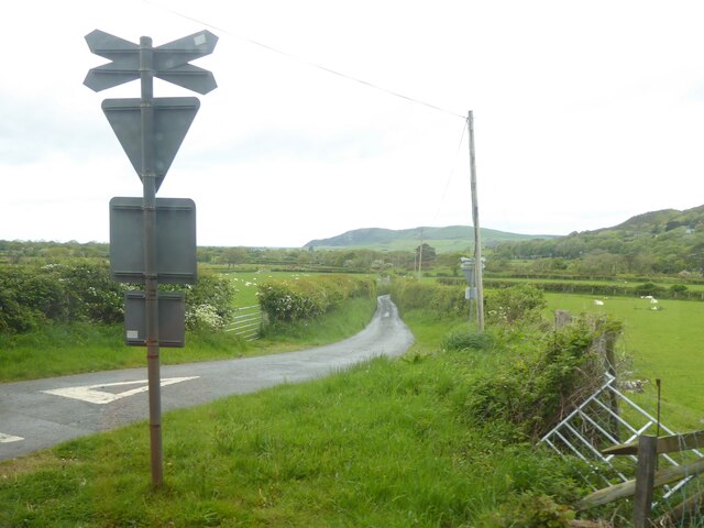
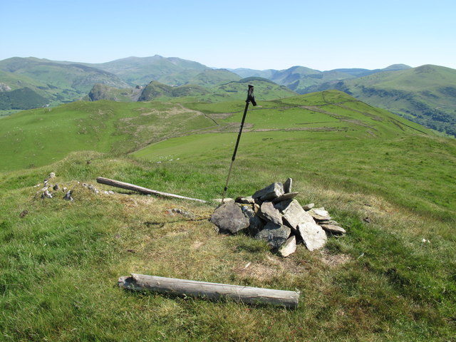
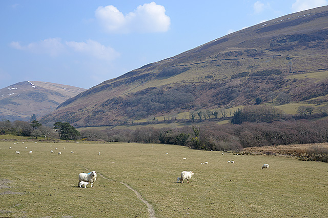
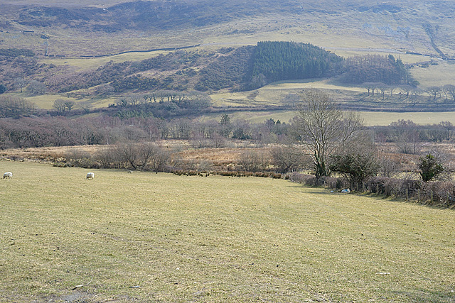
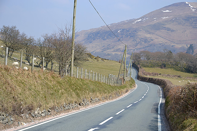
Brynglas Images
Images are sourced within 2km of 52.608093/-4.027181 or Grid Reference SH6203. Thanks to Geograph Open Source API. All images are credited.


Brynglas is located at Grid Ref: SH6203 (Lat: 52.608093, Lng: -4.027181)
Unitary Authority: Gwynedd
Police Authority: North Wales
What 3 Words
///luckier.satin.pink. Near Tywyn, Gwynedd
Related Wikis

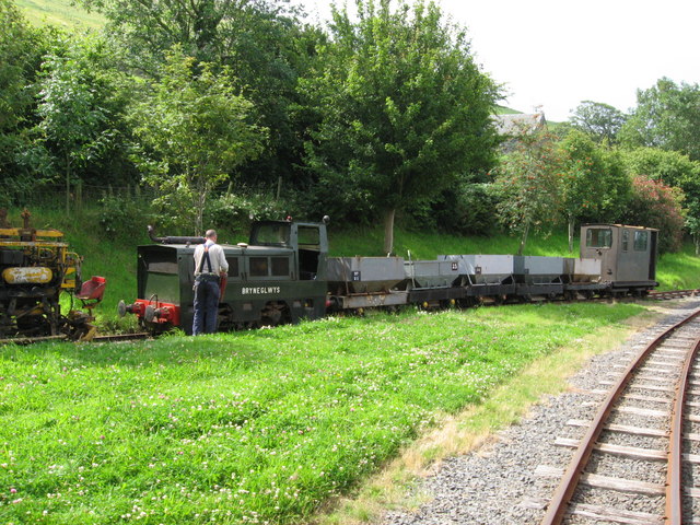
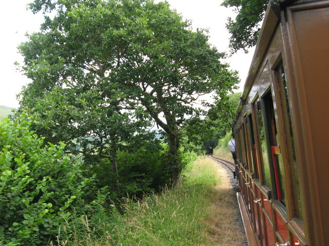
Brynglas railway station
Brynglas railway station (also known as Bryn-glas railway station) is a request stop on the Talyllyn Railway, serving the hamlet of Pandy near Bryn-crug...

Rhydyronen railway station
Rhydyronen railway station (also known as Rhyd-yr-onen railway station) is a request stop on the Talyllyn Railway, near Tywyn, Gwynedd in mid-Wales. It...
Bryncrug
Bryncrug (), sometimes spelt Bryn-crug, is a village and community in Gwynedd, Wales. Afon Fathew flows through the village and into the River Dysynni...

Abertrinant
Abertrinant is a small settlement in Gwynedd, Wales. It is 7 kilometres (4 mi) northeast of the town of Tywyn. == External links == www.geograph.co.uk...
Nearby Amenities
Located within 500m of 52.608093,-4.027181Have you been to Brynglas?
Leave your review of Brynglas below (or comments, questions and feedback).