Bryn Common

Settlement in Flintshire

Wales

Bryn Common

Concrete structure, Nant y Ffrith This large concrete base is next to the footbridge and has the rough-cast concrete look of a 1930s or 40s industrial building. What was its purpose? Mining? There are mounting bolts and nearby coils of old wire rope. There is a mine level near.
Concrete structure, Nant y Ffrith Credit: John Harrison

The requested URL returned error: 429 Too Many Requests

If you have any feedback on the listing, please let us know in the comments section below.
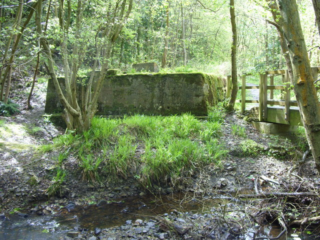
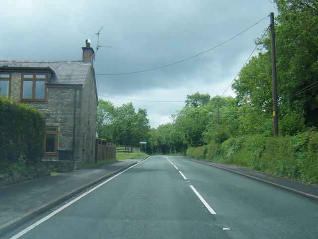
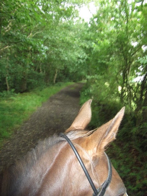
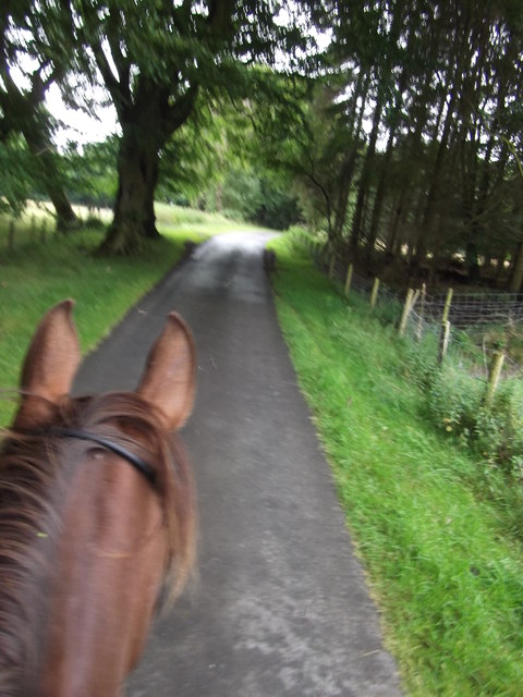
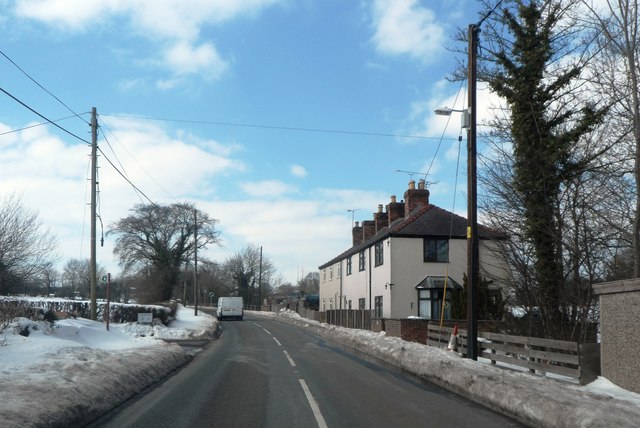
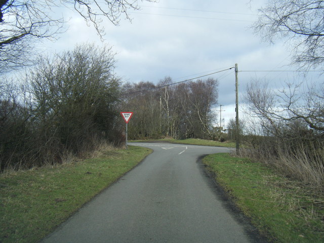
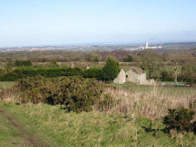
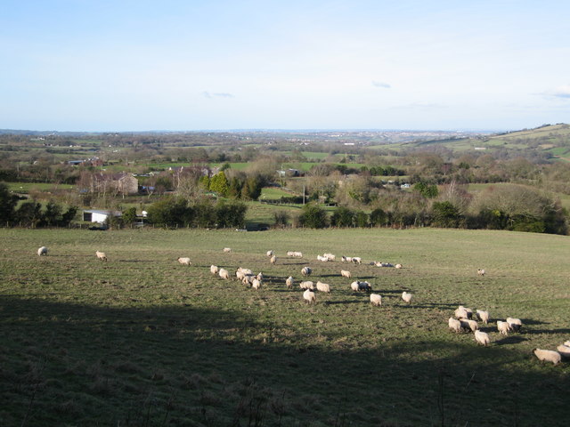
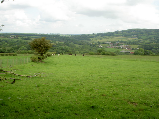
Bryn Common Images

Images are sourced within 2km of 53.096053/-3.1065544 or Grid Reference SJ2656. Thanks to Geograph Open Source API. All images are credited.

Concrete structure, Nant y Ffrith This large concrete base is next to the footbridge and has the rough-cast concrete look of a 1930s or 40s industrial building. What was its purpose? Mining? There are mounting bolts and nearby coils of old wire rope. There is a mine level near.
Concrete structure, Nant y Ffrith
This large concrete base is next to the footbridge and has the rough-cast concrete look of a 1930s or 40s industrial building. What was its purpose? Mining? There are mounting bolts and nearby coils of old wire rope. There is a mine level near.
Corwen Road at Treuddyn petrol station
A5104 west of Treuddyn
Leafy bridleway From the Old Smithy near Llanfynydd Flintshire. It's a really nice path.
Leafy bridleway
From the Old Smithy near Llanfynydd Flintshire. It's a really nice path.
Lane going towards Wern Ganol A really quiet lane continuing off the bridleway from The Smithy near Llanfynydd. A pleasant ride with a switched on horse! - ears pricked!
Lane going towards Wern Ganol
A really quiet lane continuing off the bridleway from The Smithy near Llanfynydd. A pleasant ride with a switched on horse! - ears pricked!
Llanfynydd Flintshire Riding on horseback through Llanfynydd.  The Garage is on the left. We were heading back to where we left our trailer.
Llanfynydd Flintshire
Riding on horseback through Llanfynydd. The Garage is on the left. We were heading back to where we left our trailer.
Treuddyn petrol station
Cottages on the A5104
Lane junction near Cae Hic Bach
Ffordd Y Blaenau lane junction
Stile for footpath through grazing field heading for B5101
Land surrounding Ffrith Farm buildings  with a view The land in this area is predominantly grazing. In the distance on the right is the Cement works at Padeswood; on the left is Buckley and in the far left distance you can see Liverpool Cathedral from the footpath at this point.
Land surrounding Ffrith Farm buildings with a view
The land in this area is predominantly grazing. In the distance on the right is the Cement works at Padeswood; on the left is Buckley and in the far left distance you can see Liverpool Cathedral from the footpath at this point.
Footbridge and stile on footpath through grazing fields
Mini waterfall on the River Cegidog As it passes through a steep mixed woodland valley
Mini waterfall on the River Cegidog
As it passes through a steep mixed woodland valley
Agricultural building near Cae-rheinallt Farm It is predominantly grazing land in the surrounding area
Agricultural building near Cae-rheinallt Farm
It is predominantly grazing land in the surrounding area
Sheep crossing field towards Cae-rheinallt isaf
Abandoned agricultural roller in field of swedes
Boardwalk over stream heading for footbridge On a footpath near Cae-rheinallt isaf
Boardwalk over stream heading for footbridge
On a footpath near Cae-rheinallt isaf
Show me another place!

Bryn Common is located at Grid Ref: SJ2656 (Lat: 53.096053, Lng: -3.1065544)

Unitary Authority: Flintshire

Police Authority: North Wales

What 3 Words

///stepping.tougher.bonfires. Near Treuddyn, Flintshire

Nearby Locations

Bryn Common

Related Wikis

North East Wales

North East Wales (Welsh: Gogledd-Ddwyrain Cymru) is an area or region of Wales, commonly defined as a grouping of the principal areas of Denbighshire,...

North East Wales National Park

A national park has been proposed to replace the Clwydian Range and Dee Valley AONB in the north-east of Wales. Proposals for the then Clwydian Range AONB...

Llanfynydd railway station

Llanfynydd railway station was a station in Llanfynydd, Flintshire, Wales. The station was opened on 2 May 1898, closed to passengers on 27 March 1950...

Llanfynydd, Flintshire

Llanfynydd is a village, local government community and electoral ward in Flintshire, Wales. Its name is derived from the Welsh words llan ("enclosure...

Nearby Amenities

Located within 500m of 53.096053,-3.1065544
Cae Rheinallt
Alt Name: Caerheinallt
Ele: 324
Natural: peak
Lat/Long: 53.0935559/-3.106279
The data included in this document is from www.openstreetmap.org. The data is made available under ODbL.

Have you been to Bryn Common?

Leave your review of Bryn Common below (or comments, questions and feedback).