Coed Maenan
Wood, Forest in Caernarfonshire
Wales
Coed Maenan
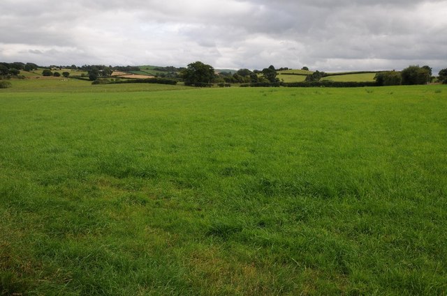
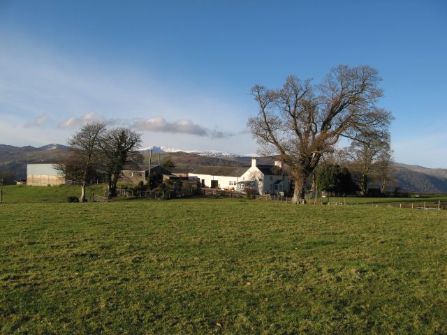
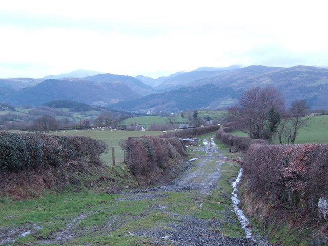
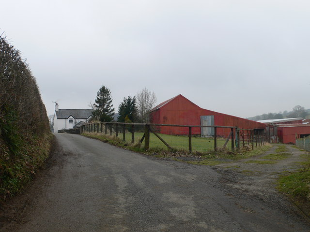
Coed Maenan, located in Caernarfonshire, Wales, is a vast woodland area that stretches across approximately 200 acres. Situated near the village of Maenan, this ancient forest offers a serene and picturesque setting for nature enthusiasts and visitors alike.
The woodland is characterized by its diverse range of tree species, including oak, beech, and birch, creating a rich and vibrant ecosystem. The forest floor is adorned with an array of colorful wildflowers during the spring and summer months, providing a delightful sight for visitors to behold.
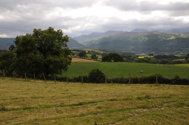
Coed Maenan is home to numerous wildlife species, attracting birdwatchers and nature photographers. Visitors may spot various bird species, such as the Eurasian jay, the great spotted woodpecker, and the red kite. Deer can also be occasionally seen grazing in the meadows, adding to the enchanting atmosphere of the woodland.
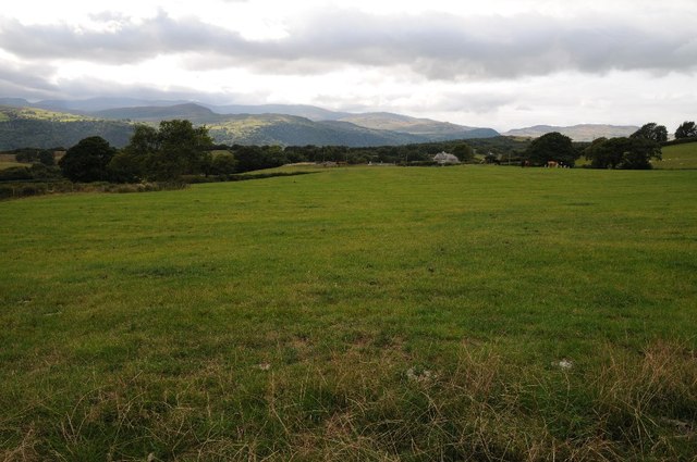
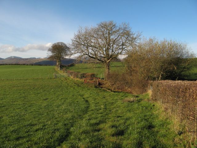
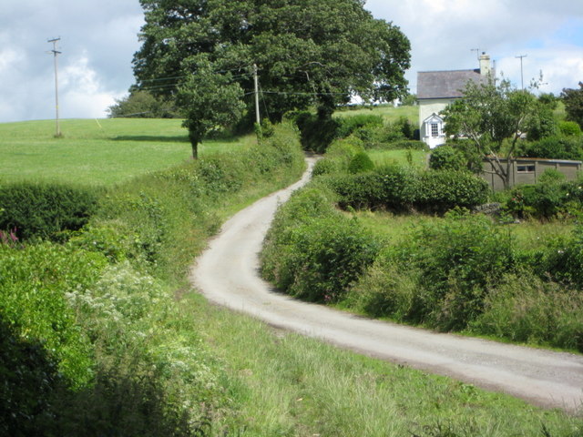
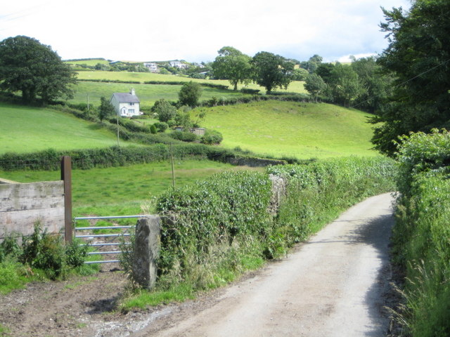
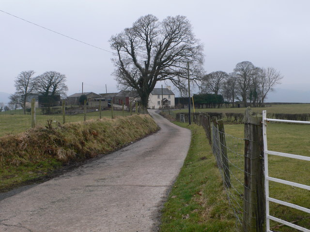
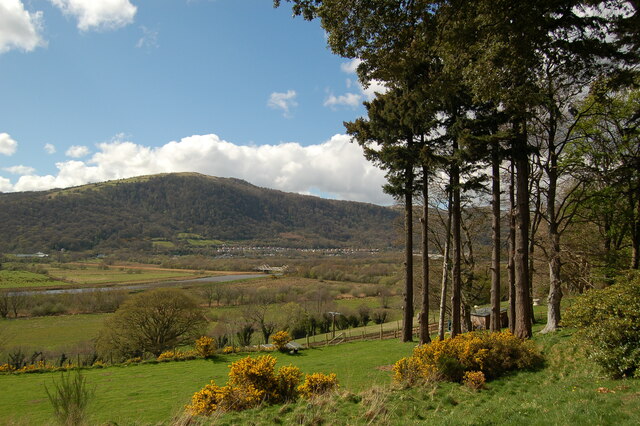
There are several walking trails throughout Coed Maenan, offering visitors the opportunity to explore the forest at their own pace. The paths wind through the trees, leading to hidden clearings and viewpoints where breathtaking vistas of the surrounding countryside can be enjoyed.
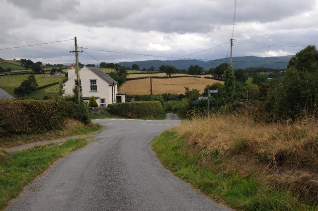
In addition to its natural beauty, Coed Maenan has a rich history. The woodland has been managed by the local community for generations, and remnants of ancient settlements can still be found within its boundaries, providing a glimpse into the past.
Overall, Coed Maenan is a captivating woodland retreat that offers a serene escape from the hustle and bustle of everyday life. Its diverse flora and fauna, along with its historical significance, make it a must-visit destination for nature lovers and history enthusiasts alike.
If you have any feedback on the listing, please let us know in the comments section below.
Coed Maenan Images
Images are sourced within 2km of 53.173313/-3.8065524 or Grid Reference SH7965. Thanks to Geograph Open Source API. All images are credited.


Coed Maenan is located at Grid Ref: SH7965 (Lat: 53.173313, Lng: -3.8065524)
Unitary Authority: Conwy
Police Authority: North Wales
What 3 Words
///inhaled.opposing.incorrect. Near Llanrwst, Conwy
Nearby Locations
Related Wikis

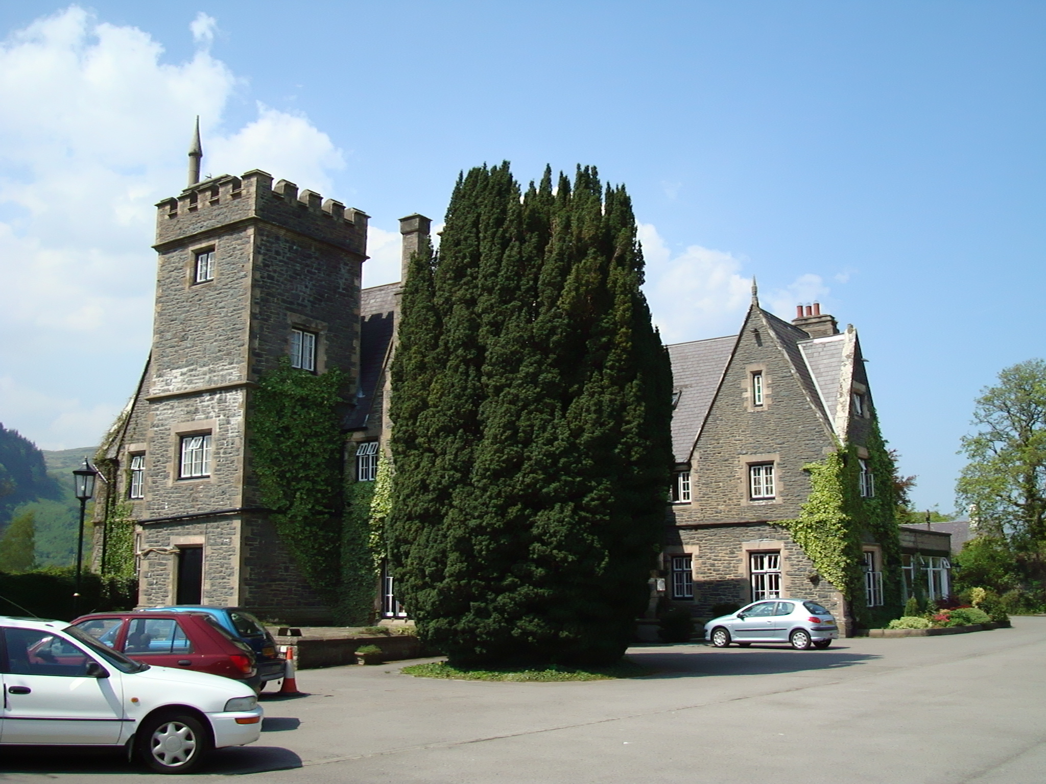
Maenan Hall
Maenan Hall is a Grade I-listed hall house north west of the village of Llanddoged, Conwy, Wales. This late medieval country mansion has fine decorative...
Maenan
Maenan is a rural settlement in Conwy, Wales, located approximately 4 miles to the north of Llanrwst and 3 miles to the south of the village of Eglwysbach...

Cadair Ifan Goch
Cadair Ifan Goch (Chair of Ifan Goch, the Giant) is a crag located above the Conwy Valley in North Wales in the community of Llanddoged and Maenan, and...

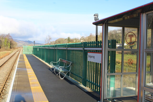
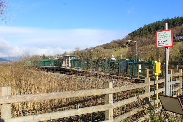
Dolgarrog railway station
Dolgarrog railway station is an unstaffed halt, and a request stop, on the Conwy Valley Line from Llandudno Junction to Blaenau Ffestiniog. The station...
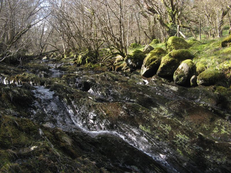
Afon Ddu
Afon Ddu (Welsh for black river) is the name of several rivers in Snowdonia in north-west Wales: The largest of these flows from Llyn Cowlyd on the south...

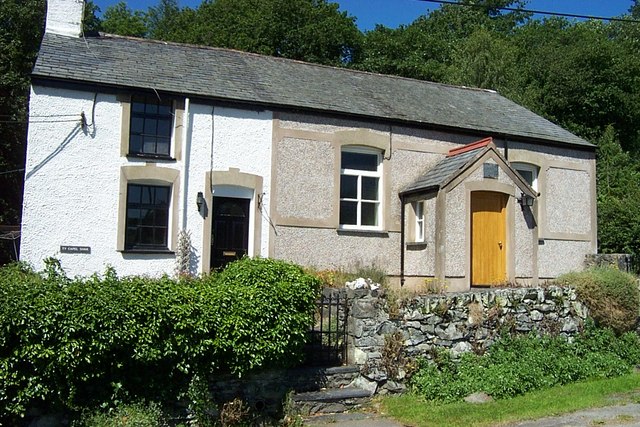
Llanddoged
Llanddoged is a small village which lies in the hills a little over a mile to the north of Llanrwst, in Conwy county borough, Wales. The village itself...
Nod Glas Formation
The Nod Glas Formation (also known as the Nod Glas Black Shale, the Cadnant Shale, the Penarwel Mudstones or just Nod Glas) is an Ordovician lithostratigraphic...
Llanddoged and Maenan
Llanddoged and Maenan (Welsh: Llanddoged a Maenan) is a community in Conwy County Borough, in Wales. It is located in the Conwy Valley, on the eastern...
Nearby Amenities
Located within 500m of 53.173313,-3.8065524Have you been to Coed Maenan?
Leave your review of Coed Maenan below (or comments, questions and feedback).