Coed Carreg Seler
Wood, Forest in Caernarfonshire
Wales
Coed Carreg Seler
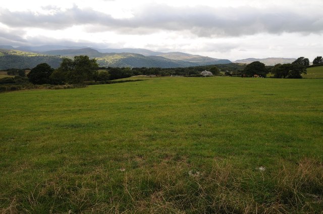
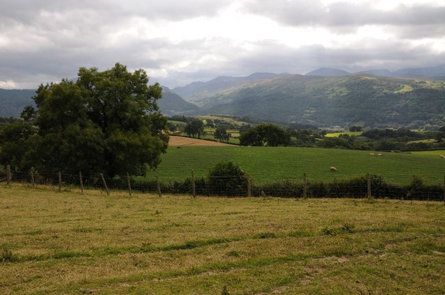
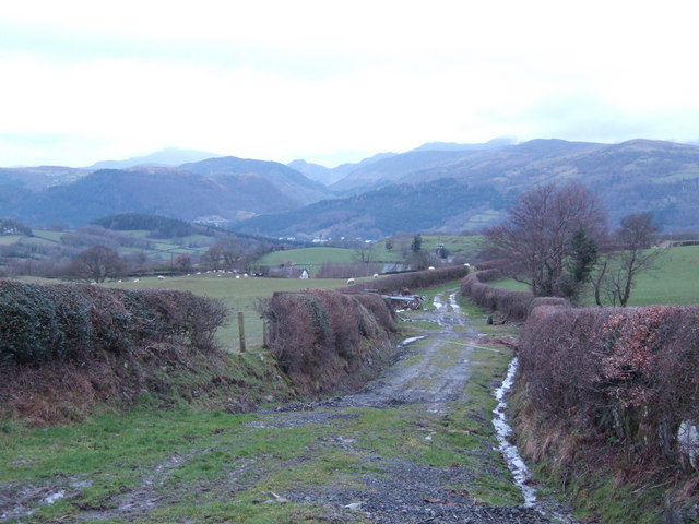
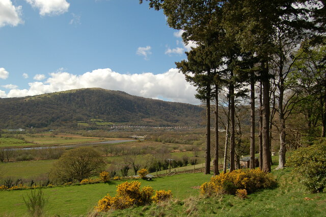
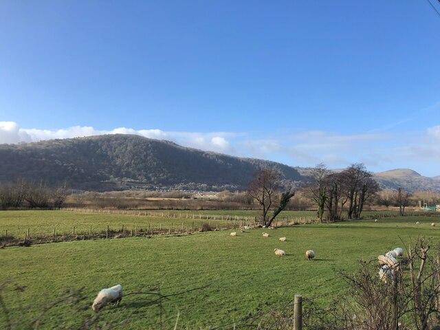
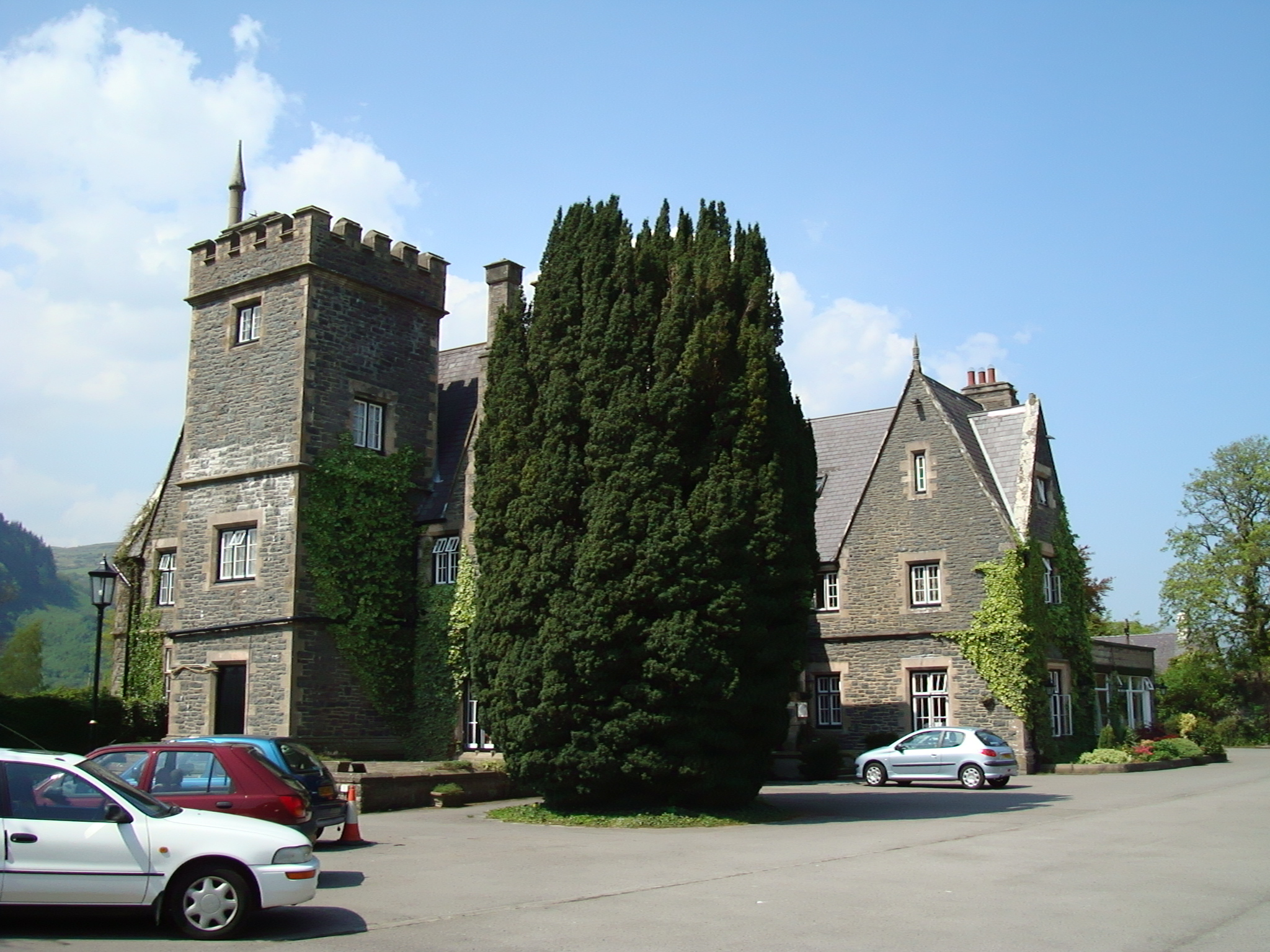
Coed Carreg Seler, located in Caernarfonshire, is a picturesque wood and forest area in Wales. Spread over a vast expanse, this natural landscape is renowned for its beauty and tranquility. The wood is situated in close proximity to the village of Rhyd Ddu and offers stunning views of the Snowdonia National Park.
Coed Carreg Seler is home to a diverse range of plant and animal species, making it a haven for nature enthusiasts and wildlife lovers. The wood is predominantly composed of native tree species such as oak, beech, and birch, which create a vibrant and colorful canopy during the autumn season. The forest floor is adorned with an array of wildflowers, adding to its natural charm.
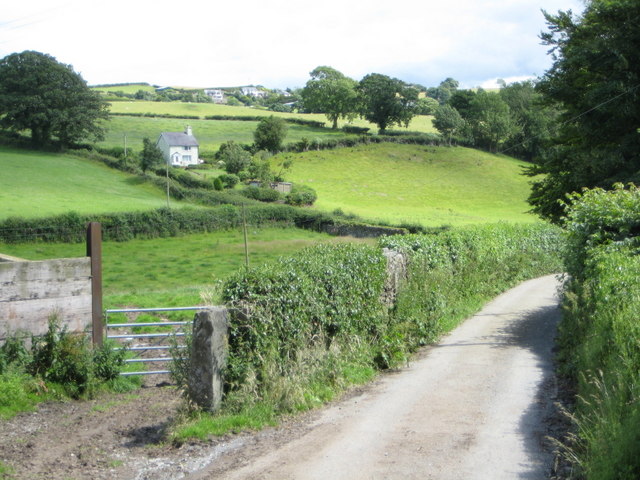
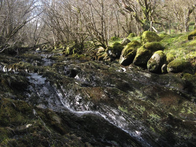
Visitors to Coed Carreg Seler can explore the area through a network of well-maintained walking trails, which provide access to the wood's hidden gems. The sound of birdsong fills the air, and it is not uncommon to spot woodland creatures like red squirrels, foxes, and various species of birds. The wood also boasts a small stream, adding to the overall scenic beauty and creating a peaceful atmosphere.
Coed Carreg Seler is a popular destination for outdoor activities such as hiking, birdwatching, and photography. Its close proximity to Snowdonia National Park offers the opportunity to combine visits to both areas, making it an ideal spot for nature lovers and those seeking a serene retreat. Whether it's a leisurely stroll or an adventurous hike, Coed Carreg Seler provides a captivating experience for all who visit.
If you have any feedback on the listing, please let us know in the comments section below.
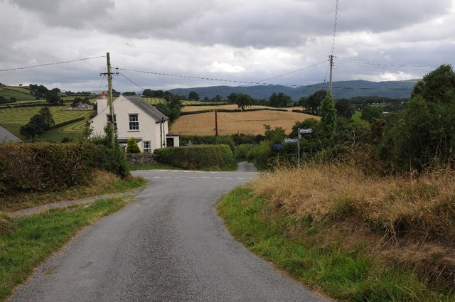
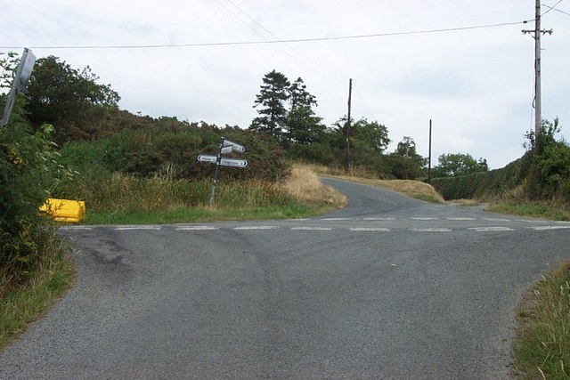
Coed Carreg Seler Images
Images are sourced within 2km of 53.174487/-3.8091604 or Grid Reference SH7965. Thanks to Geograph Open Source API. All images are credited.


Coed Carreg Seler is located at Grid Ref: SH7965 (Lat: 53.174487, Lng: -3.8091604)
Unitary Authority: Conwy
Police Authority: North Wales
What 3 Words
///recovery.signed.fines. Near Llanrwst, Conwy
Nearby Locations
Related Wikis

Maenan Hall
Maenan Hall is a Grade I-listed hall house north west of the village of Llanddoged, Conwy, Wales. This late medieval country mansion has fine decorative...
Maenan
Maenan is a rural settlement in Conwy, Wales, located approximately 4 miles to the north of Llanrwst and 3 miles to the south of the village of Eglwysbach...

Cadair Ifan Goch
Cadair Ifan Goch (Chair of Ifan Goch, the Giant) is a crag located above the Conwy Valley in North Wales in the community of Llanddoged and Maenan, and...

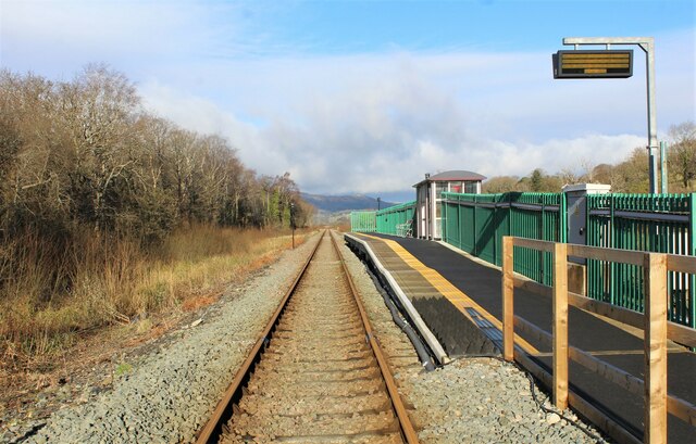
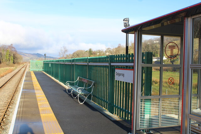
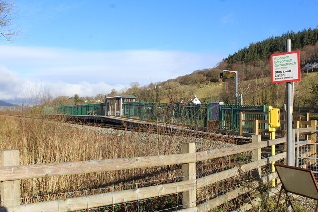
Dolgarrog railway station
Dolgarrog railway station is an unstaffed halt, and a request stop, on the Conwy Valley Line from Llandudno Junction to Blaenau Ffestiniog. The station...
Afon Ddu
Afon Ddu (Welsh for black river) is the name of several rivers in Snowdonia in north-west Wales: The largest of these flows from Llyn Cowlyd on the south...
Nod Glas Formation
The Nod Glas Formation (also known as the Nod Glas Black Shale, the Cadnant Shale, the Penarwel Mudstones or just Nod Glas) is an Ordovician lithostratigraphic...
Coed Dolgarrog National Nature Reserve
Coed Dolgarrog National Nature Reserve is a nature reserve which covers the steep western side of the Conwy Valley, outside the village of Dolgarrog, around...
Cedryn Quarry Tramway
The Cedryn Quarry Tramway (later largely used as the route of the Eigiau Tramway) was an industrial narrow gauge railway that connected the slate quarries...
Nearby Amenities
Located within 500m of 53.174487,-3.8091604Have you been to Coed Carreg Seler?
Leave your review of Coed Carreg Seler below (or comments, questions and feedback).