Coed Cauedig
Wood, Forest in Denbighshire
Wales
Coed Cauedig

Coed Cauedig is a picturesque woodland located in Denbighshire, Wales. Covering an area of approximately 100 acres, it is a haven for nature enthusiasts and those seeking tranquility amidst the beauty of nature. The woodland is situated near the small village of Cauedig, with the nearest town being Denbigh.
The woodland is predominantly composed of deciduous trees such as oak, beech, and birch, creating a rich and diverse ecosystem. The varying heights of the trees create a stunning canopy that filters sunlight, casting enchanting patterns on the forest floor. This natural canopy also provides shade and shelter for a wide range of flora and fauna.
Coed Cauedig is intersected by several footpaths and trails that allow visitors to explore the woodland's hidden gems. These paths wind through the trees, following the gentle slope of the land, and offer breathtaking views of the surrounding countryside. The sounds of birdsong and the rustling of leaves provide a soothing soundtrack to the walk, further enhancing the sense of tranquility.
The woodland is home to a variety of wildlife, including birds like woodpeckers, robins, and owls. Squirrels can often be seen darting among the branches, while badgers and foxes may be spotted in the undergrowth during quieter times of the day. The forest floor is adorned with a colorful carpet of wildflowers, adding to the enchanting atmosphere.
Coed Cauedig is a truly magical place, offering visitors the opportunity to reconnect with nature and experience the serenity of a woodland environment. Whether it's a leisurely stroll, a picnic, or simply a moment of reflection, this woodland provides a restorative and captivating experience for all who visit.
If you have any feedback on the listing, please let us know in the comments section below.
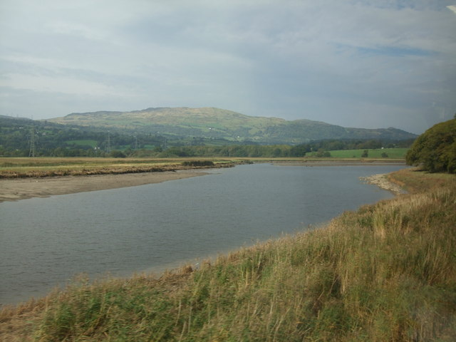
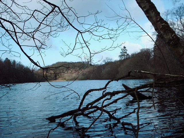
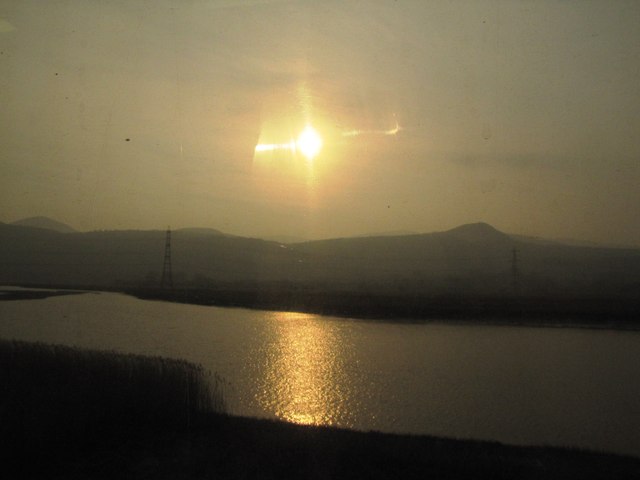
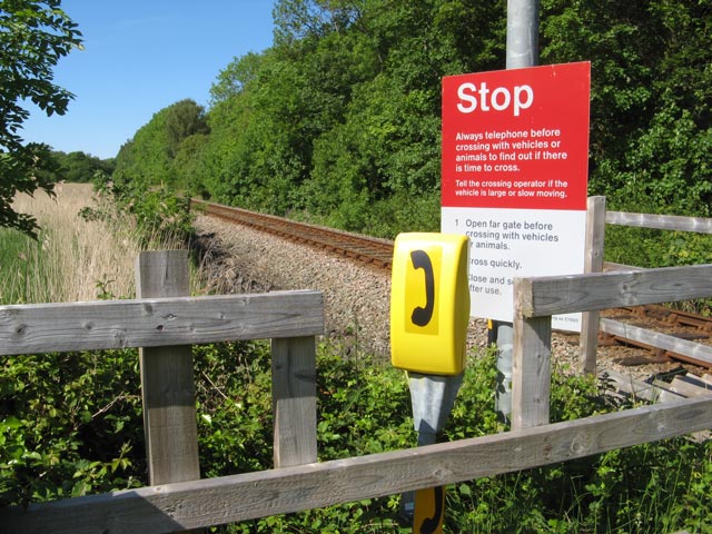
Coed Cauedig Images
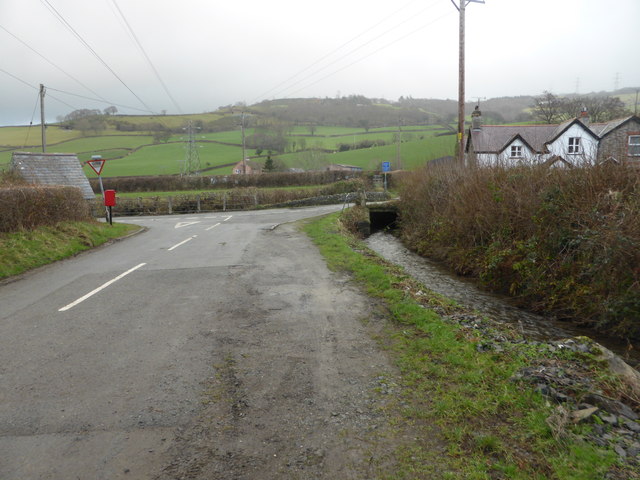
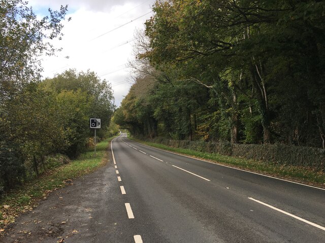
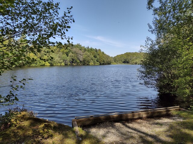
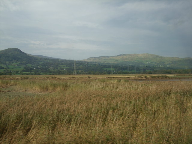
Images are sourced within 2km of 53.215244/-3.8106232 or Grid Reference SH7970. Thanks to Geograph Open Source API. All images are credited.


Coed Cauedig is located at Grid Ref: SH7970 (Lat: 53.215244, Lng: -3.8106232)
Unitary Authority: Conwy
Police Authority: North Wales
What 3 Words
///packing.couple.paddocks. Near Llansantffraid Glan Conwy, Conwy
Related Wikis

Eglwysbach
Eglwysbach is a village and community in Conwy county borough, Wales. The village plays host to an annual Agricultural show and horticultural show in August...

Afon Roe
The Afon Roe is a small river in Snowdonia in north-west Wales.Its tributary is the Afon Tafolog, which drains the eastern slopes of Drum, a mountain in...

Tal-y-Cafn
Tal-y-Cafn (Welsh meaning : "place opposite the ferry-boat") is a small settlement in Conwy county borough, north Wales, in the community of Eglwysbach...
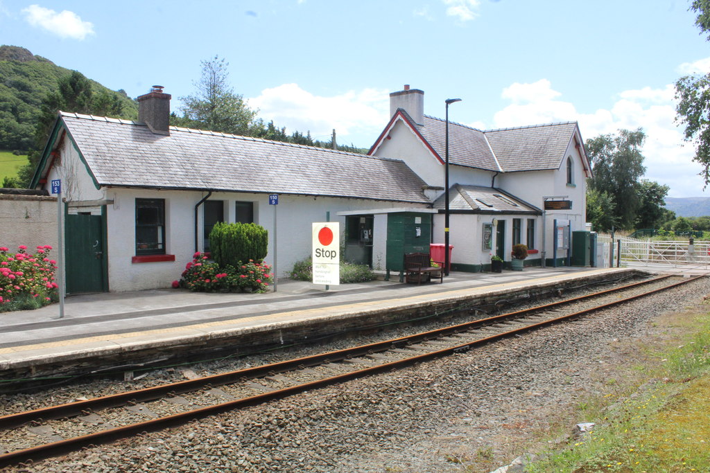
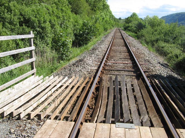
Tal-y-Cafn railway station
Tal-y-Cafn railway station is located at Tal-y-Cafn, Wales, on the Conwy Valley Line from Llandudno Junction to Blaenau Ffestiniog. == History == Until...
Nearby Amenities
Located within 500m of 53.215244,-3.8106232Have you been to Coed Cauedig?
Leave your review of Coed Cauedig below (or comments, questions and feedback).