Artist's Wood
Wood, Forest in Caernarfonshire
Wales
Artist's Wood
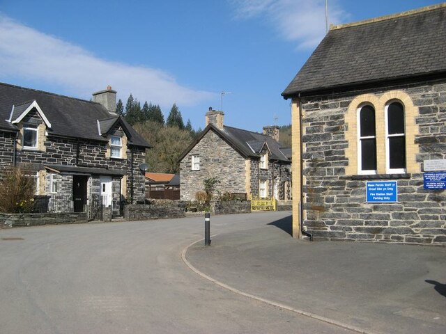
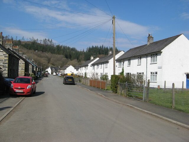
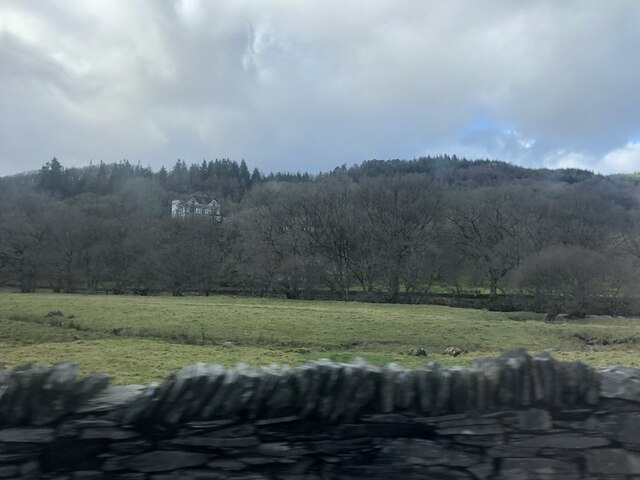
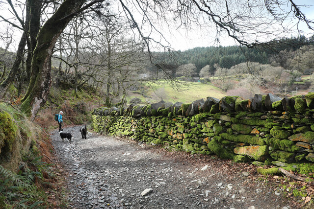
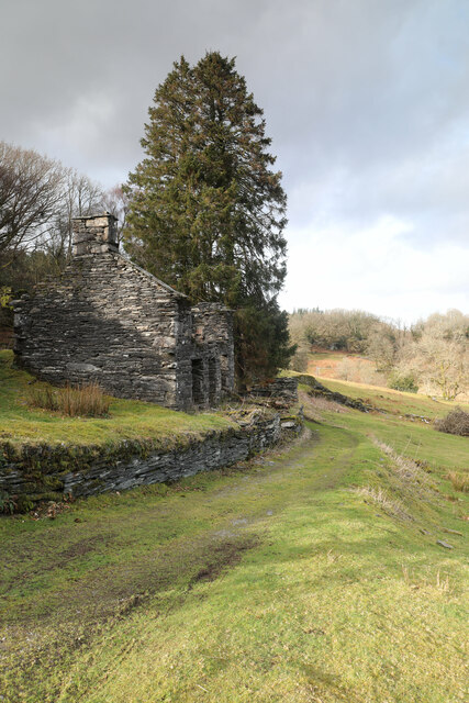
Artist's Wood is a picturesque forest located in Caernarfonshire, a county in northwestern Wales. This enchanting woodland is nestled amidst the breathtaking Snowdonia National Park, offering visitors a tranquil and idyllic escape into nature.
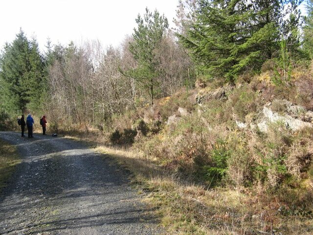
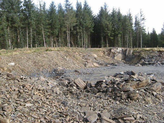
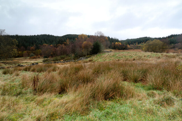
Covering an area of approximately 100 acres, Artist's Wood is renowned for its diverse and lush vegetation, consisting of a variety of trees such as oak, beech, and birch. The forest boasts a rich tapestry of colors throughout the seasons, with vibrant greens in the spring and summer, transitioning to golden hues in the autumn months.
As the name suggests, this woodland has long been a source of inspiration for artists and nature enthusiasts alike. It provides a serene and secluded environment for creative minds to flourish, with its peaceful ambiance and stunning vistas. The dappled sunlight filtering through the dense canopy creates a charming atmosphere that is perfect for capturing the essence of the natural world on canvas.
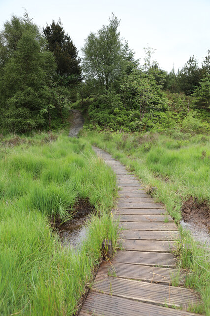
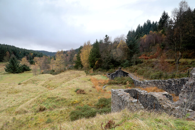
In addition to its artistic allure, Artist's Wood offers a range of recreational activities for visitors to enjoy. There are several well-maintained walking trails that wind through the forest, allowing hikers to explore its hidden corners and discover its hidden treasures. Birdwatchers will also delight in the abundance of avian species that call this woodland home, including woodpeckers, owls, and an array of songbirds.
Artist's Wood is a true gem within Caernarfonshire, providing a sanctuary of beauty and tranquility for all who venture within its borders. Whether one seeks artistic inspiration, a peaceful retreat, or simply a connection with nature, this forest offers an unforgettable experience immersed in the natural wonders of Wales.
If you have any feedback on the listing, please let us know in the comments section below.
Artist's Wood Images
Images are sourced within 2km of 53.097878/-3.8299461 or Grid Reference SH7757. Thanks to Geograph Open Source API. All images are credited.
Artist's Wood is located at Grid Ref: SH7757 (Lat: 53.097878, Lng: -3.8299461)
Unitary Authority: Conwy
Police Authority: North Wales
What 3 Words
///woes.removed.flask. Near Betws-y-Coed, Conwy
Nearby Locations
Related Wikis
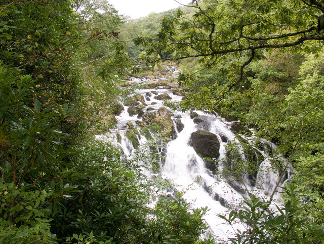
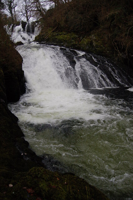
Swallow Falls
Swallow Falls is an English name for the Welsh Rhaeadr y Wennol, also known as Rhaeadr Ewynnol (English: 'the foaming waterfall'), a multiple waterfall...

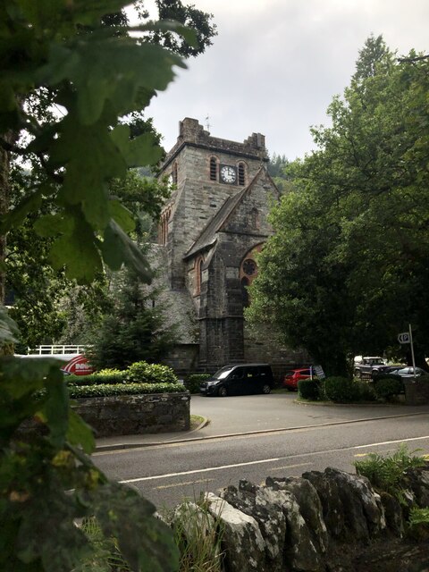
St Mary's Church, Betws-y-Coed
St Mary's Church, Betws-y-Coed, is in the village of Betws-y-Coed, Conwy, Wales. It is an active Anglican parish church of the Church in Wales, in the...

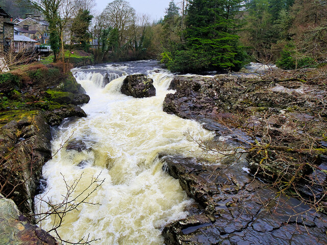
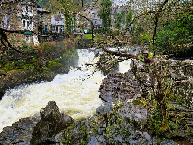
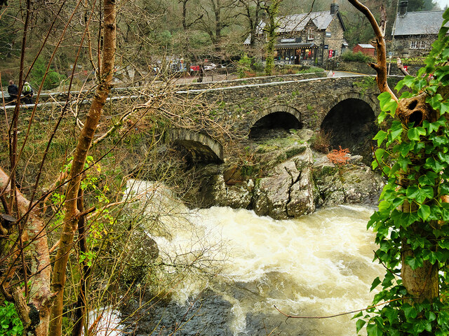
Betws-y-Coed
Betws-y-coed (Welsh: [ˈbɛtʊs ə ˈkoːɨ̯d] ; meaning 'prayer-house in the wood') is a village and community in the Conwy valley in Conwy County Borough, Wales...

Betws-y-Coed railway station
Betws-y-coed railway station is on the Conwy Valley Line, which runs between Llandudno and Blaenau Ffestiniog. It is situated 15+1⁄2 miles (24.9 km) south...
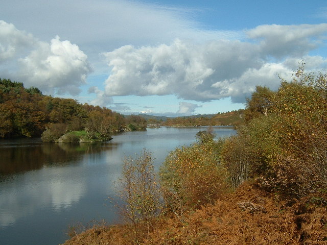
Llyn Elsi
Llyn Elsi is a lake located above the village of Betws-y-coed in the Snowdonia National Park in North Wales. It is a reservoir providing water for the...

Llyn Parc
Llyn Parc (also known as "Llyn y Parc") is a lake in the Gwydir Forest in North Wales. Lying at a height of 664 feet, it covers an area of 22 acres (89...

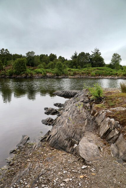
River Llugwy
River Llugwy (Welsh: Afon Llugwy) is a tributary of the River Conwy, and has its source at Ffynnon Llugwy, a lake in the Carneddau range of mountains in...

Llyn Bodgynydd
Llyn Bodgynydd is a lake in the Gwydir Forest in North Wales. It covers an area of some 14 acres (57,000 m2), and lies at a height of 822 feet (251 m)...
Nearby Amenities
Located within 500m of 53.097878,-3.8299461Have you been to Artist's Wood?
Leave your review of Artist's Wood below (or comments, questions and feedback).